Oldstell Plantation

Wood, Forest in Roxburghshire

Scotland

Oldstell Plantation

Groundistone Moss Dawn on the A7 with an old alignment of the road in the foreground.
Groundistone Moss Credit: Richard Webb

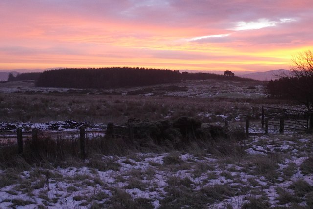
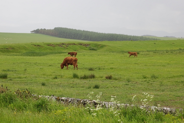
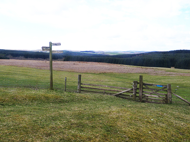
Oldstell Plantation is a picturesque woodland located in Roxburghshire, Scotland. Situated near the village of Oldstell, the plantation covers an area of approximately 100 hectares. It is renowned for its stunning ancient trees and diverse wildlife, making it a popular destination for nature enthusiasts and hikers alike.

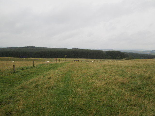
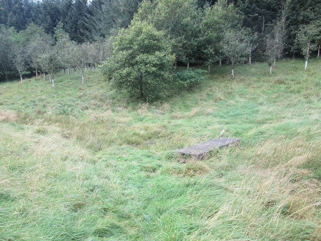
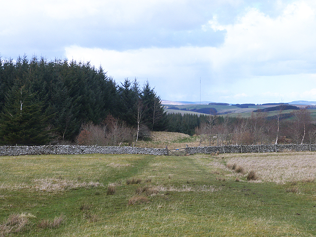
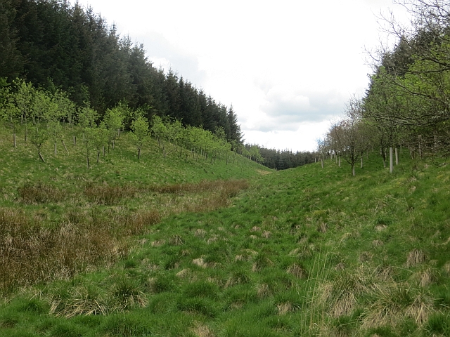
The plantation is predominantly composed of native broadleaf trees, such as oak, beech, and birch. These majestic trees provide a canopy that filters sunlight, creating a tranquil and shaded environment. The woodland floor is covered in a rich carpet of mosses, ferns, and wildflowers, adding to the enchanting atmosphere.

Oldstell Plantation is home to a wide variety of wildlife, including red squirrels, roe deer, and numerous bird species. Nature lovers can often spot woodpeckers, owls, and songbirds, making it a haven for birdwatching enthusiasts. The plantation also hosts a diverse range of insect life, with butterflies and bees flitting among the flowers and trees.

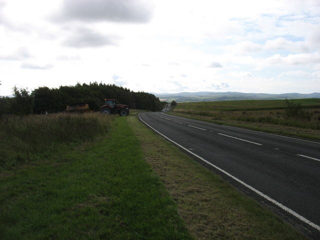
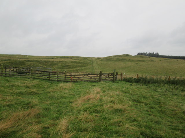
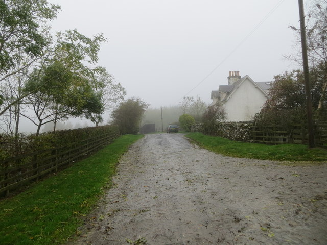
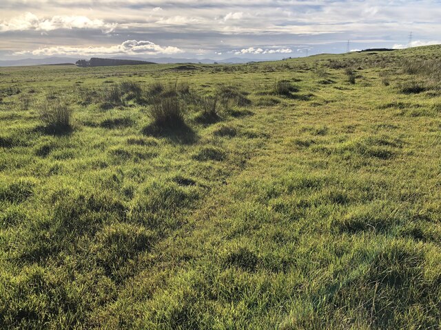
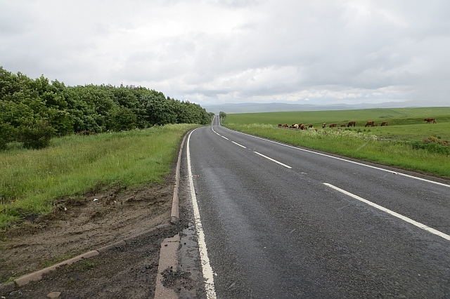
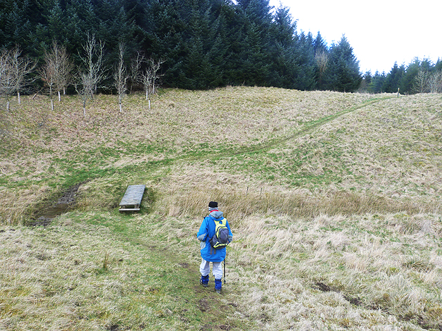
The plantation offers several well-maintained walking trails, allowing visitors to explore its beauty at their own pace. These trails wind through the woodland, offering breathtaking views of the surrounding countryside and the nearby Cheviot Hills. Along the way, informative signs provide educational insights into the flora and fauna found within the plantation.

Oldstell Plantation is not only a haven for nature enthusiasts but also a valuable habitat for numerous species. Its beauty and ecological importance make it a cherished natural asset in Roxburghshire, attracting visitors from far and wide who seek to immerse themselves in the tranquility of this ancient woodland.

If you have any feedback on the listing, please let us know in the comments section below.

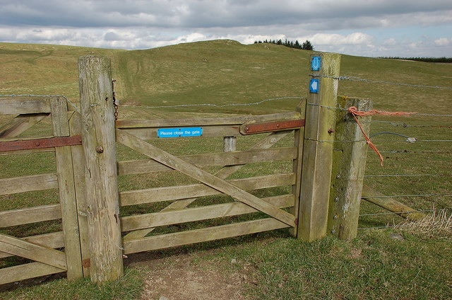
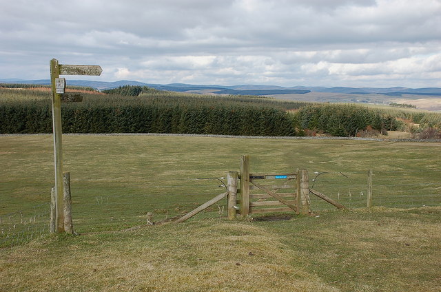
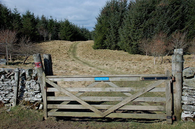
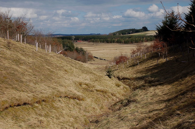
Oldstell Plantation Images

Images are sourced within 2km of 55.476164/-2.7982018 or Grid Reference NT4920. Thanks to Geograph Open Source API. All images are credited.

Groundistone Moss Dawn on the A7 with an old alignment of the road in the foreground.
Groundistone Moss
Dawn on the A7 with an old alignment of the road in the foreground.
The A7 heading for Hawick
Borders  Abbeys  Way  east  of  Drinkstone  Hill
Borders Abbeys Way east of Drinkstone Hill
Borders Abbeys  Way  approaching  gate  and  fingerpost Through gate and head for forestry. This is also the route of the Cross Borders Drove Road
Borders Abbeys Way approaching gate and fingerpost
Through gate and head for forestry. This is also the route of the Cross Borders Drove Road
Footbridge  over  stream  in  Falla  Cleuch
Footbridge over stream in Falla Cleuch
Track at Muirfield Looking westward.
Track at Muirfield
Looking westward.
Rough pasture, Groundistone Moss
A7 A high and sometimes rather snowy (I used to commute on this road) road between Selkirk and Hawick. It has been much improved and it is actually possible to overtake in places.
A7
A high and sometimes rather snowy (I used to commute on this road) road between Selkirk and Hawick. It has been much improved and it is actually possible to overtake in places.
Gate, Borders Abbeys Way The blue sign with the horseshoe symbol shows that this is also the Hawick Circular Riding Route.
Gate, Borders Abbeys Way
The blue sign with the horseshoe symbol shows that this is also the Hawick Circular Riding Route.
Borders Abbeys Way north of Drinkstone Hill The Way continues ahead through the forestry plantation, while the Hawick Circular Riding Route swings right.
Borders Abbeys Way north of Drinkstone Hill
The Way continues ahead through the forestry plantation, while the Hawick Circular Riding Route swings right.
Gate into the forest, Borders Abbeys Way This forest is not given a name on the 1:25,000 map, but extends north to Ashkirk Hill overlooking the Ale Water.
Gate into the forest, Borders Abbeys Way
This forest is not given a name on the 1:25,000 map, but extends north to Ashkirk Hill overlooking the Ale Water.
Falla Cleuch A small valley with the margins of the burn left unplanted apart from some broadleaved trees.
Falla Cleuch
A small valley with the margins of the burn left unplanted apart from some broadleaved trees.
Running calves, Groundistone Moss Grazing land seen from beside the A7.
Running calves, Groundistone Moss
Grazing land seen from beside the A7.
A7, Groundistone Moss The road has been straightened out here. This high level stretch between Hawick and Selkirk is notorious for snow.
A7, Groundistone Moss
The road has been straightened out here. This high level stretch between Hawick and Selkirk is notorious for snow.
Falla Cleuch The path forms part of the Border Abbeys Way, a circular long-distance walking route in the Scottish Borders, here crossing Falla Cleuch by a plank footbridge.
Falla Cleuch
The path forms part of the Border Abbeys Way, a circular long-distance walking route in the Scottish Borders, here crossing Falla Cleuch by a plank footbridge.
Border Abbeys Way This path forms part of the Border Abbeys Way, a circular long-distance walking route in the Scottish Borders. Here it leaves open pasture and enters extensive plantations before descending to Ashkirk. On the skyline is the Ashkirk Transmitter mast  <a href="https://www.geograph.org.uk/gridref/NT4624">NT4624</a>, 229 metres high on top of a 303 metre high hill. It transmits FM Radio to the Scottish Borders.
Border Abbeys Way
This path forms part of the Border Abbeys Way, a circular long-distance walking route in the Scottish Borders. Here it leaves open pasture and enters extensive plantations before descending to Ashkirk. On the skyline is the Ashkirk Transmitter mast NT4624, 229 metres high on top of a 303 metre high hill. It transmits FM Radio to the Scottish Borders.
Signpost and gate on the Border Abbeys Way The Border Abbeys Way, a circular long-distance walking route in the Scottish Borders is straight ahead. The Dawyck Riding Route is to the right.
Signpost and gate on the Border Abbeys Way
The Border Abbeys Way, a circular long-distance walking route in the Scottish Borders is straight ahead. The Dawyck Riding Route is to the right.
Falla Cleuch The conifers were not planted up to the watercourse in line with current practice.
Falla Cleuch
The conifers were not planted up to the watercourse in line with current practice.
Show me another place!

Oldstell Plantation is located at Grid Ref: NT4920 (Lat: 55.476164, Lng: -2.7982018)

Unitary Authority: The Scottish Borders

Police Authority: The Lothians and Scottish Borders

What 3 Words

///sweetly.reason.snuggled. Near Hawick, Scottish Borders

Nearby Locations

Oldstell Plantation

Related Wikis

Bowismiln

Bowismiln is a village in the Scottish Borders area of Scotland. == See also == List of places in the Scottish Borders List of places in Scotland ��2...

Ashkirk

Ashkirk is a small village on the Ale Water, in the Scottish Borders area of Scotland. It is located just off the A7 road, approximately 6 miles (10 kilometres...

Salenside

Salenside is a village off the A7, on the Ale Water, near Ashkirk, in the Scottish Borders area of Scotland, in the former Selkirkshire. There was a Salenside...

Woll

Woll is a village on the Ale Water, off the A7, in the Ettrick Forest, north of Hawick, and south of Selkirk in the Scottish Borders area of Scotland....

Nearby Amenities

Located within 500m of 55.476164,-2.7982018
Power: tower
Lat/Long: 55.4727665/-2.7994564
Natural: peak
Lat/Long: 55.4766448/-2.7994893
Power: tower
Lat/Long: 55.4804567/-2.7991849
Power: tower
Lat/Long: 55.4793877/-2.7992226
Power: tower
Lat/Long: 55.4783155/-2.7992605
Power: tower
Lat/Long: 55.4764976/-2.7993247
Power: tower
Lat/Long: 55.4744953/-2.7993954
The data included in this document is from www.openstreetmap.org. The data is made available under ODbL.

Have you been to Oldstell Plantation?

Leave your review of Oldstell Plantation below (or comments, questions and feedback).