Pipe Plantation
Wood, Forest in Roxburghshire
Scotland
Pipe Plantation
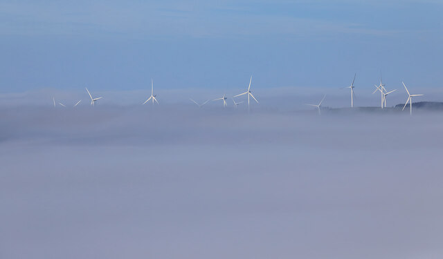
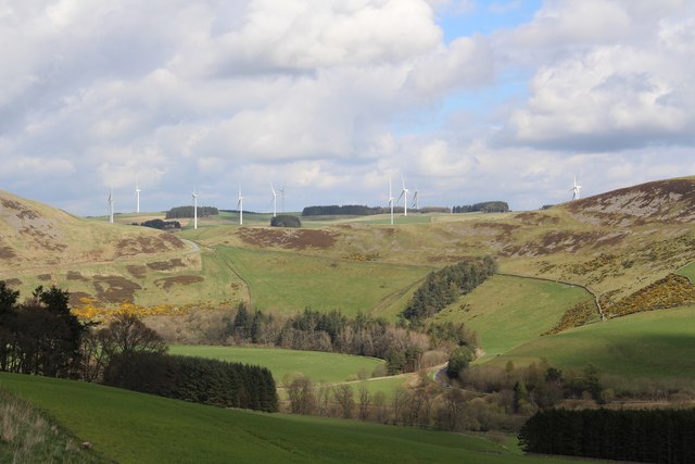
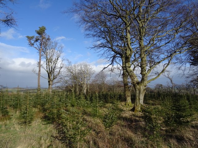
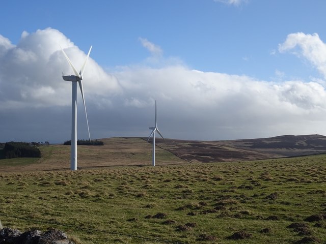
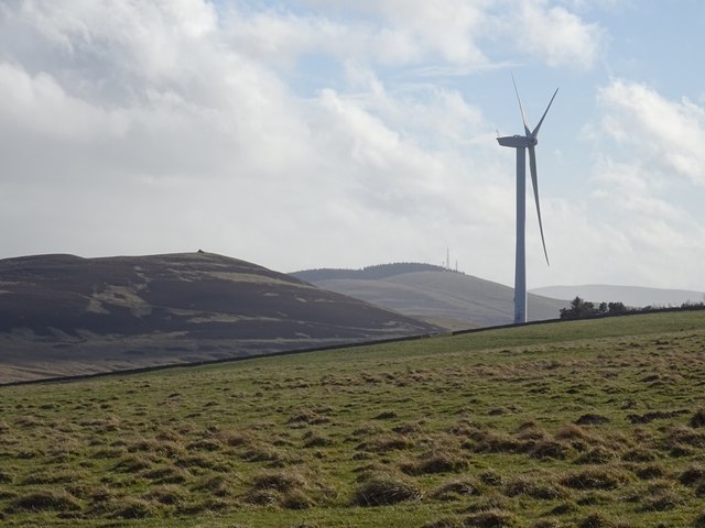
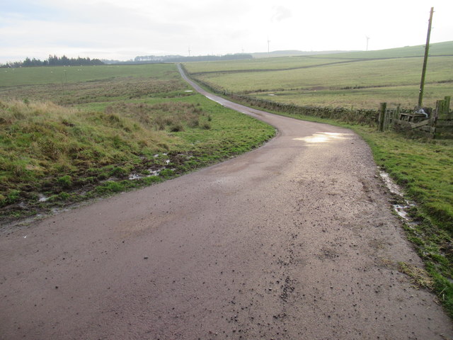
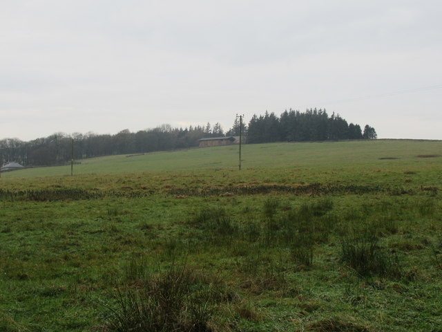
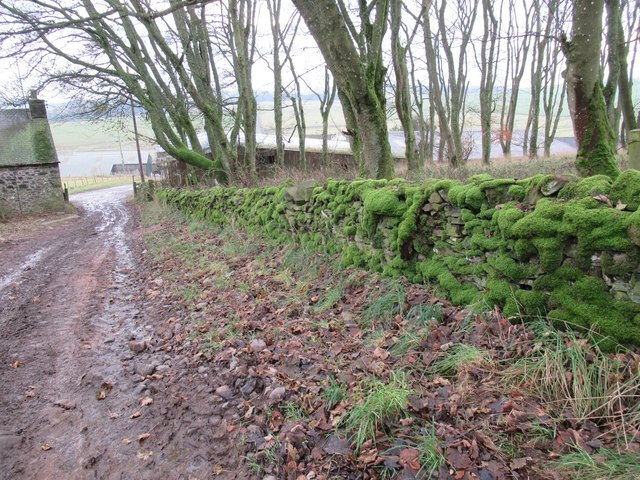
Pipe Plantation is a verdant woodland located in Roxburghshire, Scotland. Spanning across a sprawling area of land, this forest is renowned for its dense population of trees, making it a significant contributor to the region's forestry industry. The plantation predominantly consists of a variety of coniferous trees, such as Scots pine, Sitka spruce, and Douglas fir, which thrive in the area's favorable climate and fertile soil.
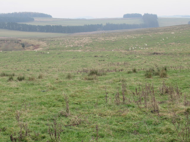
The vibrant green landscape of Pipe Plantation is a testament to the careful management and conservation efforts put in place to preserve its natural beauty and ecological balance. The forest serves as a vital habitat for a wide range of plant and animal species, including red squirrels, roe deer, and various bird species, making it a popular destination for nature enthusiasts and wildlife photographers.
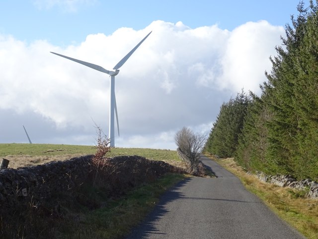
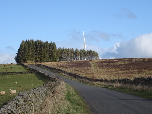
Visitors to Pipe Plantation can explore an extensive network of walking trails and paths that crisscross through the forest, offering breathtaking views of the surrounding countryside. The tranquil and serene atmosphere of the woodland provides an ideal setting for outdoor activities, such as hiking, birdwatching, and picnicking.
The plantation also plays a crucial role in the local economy, as it serves as a source of timber for the forestry industry. Sustainable logging practices are employed to ensure the long-term viability of the woodland while providing a valuable resource for the community.
Overall, Pipe Plantation in Roxburghshire is a thriving forest that not only contributes to the region's economy but also offers a haven of natural beauty and biodiversity for both locals and visitors to enjoy.
If you have any feedback on the listing, please let us know in the comments section below.
Pipe Plantation Images
Images are sourced within 2km of 55.671811/-2.8114032 or Grid Reference NT4942. Thanks to Geograph Open Source API. All images are credited.


Pipe Plantation is located at Grid Ref: NT4942 (Lat: 55.671811, Lng: -2.8114032)
Unitary Authority: The Scottish Borders
Police Authority: The Lothians and Scottish Borders
What 3 Words
///outwards.regularly.hardens. Near Galashiels, Scottish Borders
Related Wikis

Allanshaws
Allanshaws is a place and farm off the B6362, in Lauderdale, by the Allan Water, in the parish of Melrose in the Scottish Borders area of Scotland, formerly...

Bow Castle Broch
Bow Castle is the remains of an iron-age broch near the Gala Water, in the Scottish Borders area of Scotland, in the parish of Stow. It is a scheduled...

Buckholm
Buckholm is a farm near to the A7, in the Scottish Borders, Galashiels area of Scotland. Places nearby include Abbotsford, the Bow Castle Broch, Clovenfords...

Stow of Wedale Town Hall
Stow of Wedale Town Hall is a municipal building in Earlston Road, Stow of Wedale, Scottish Borders, Scotland. The structure, which serves as a community...

Stow of Wedale
Stow of Wedale, or more often Stow, is a village in the Scottish Borders area of Scotland (historically Midlothian), 7 miles (11 kilometres) north of...

Bowland railway station
Bowland railway station (Bowland Bridge between May 1849 and July 1862) was a railway station in the village of Bowland, near Galashiels, Scotland. Located...
Stow railway station
Stow is a railway station on the Borders Railway, which runs between Edinburgh Waverley and Tweedbank. The station, situated 26 miles 45 chains (43 km...

Bowshank
Bowshank is a village in the Scottish Borders area of Scotland, close to the A7, beside the Gala Water. Nearby are Bow Castle Broch, as well as Buckholm...
Nearby Amenities
Located within 500m of 55.671811,-2.8114032Have you been to Pipe Plantation?
Leave your review of Pipe Plantation below (or comments, questions and feedback).