High Glen Plantation
Wood, Forest in Banffshire
Scotland
High Glen Plantation
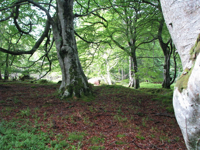
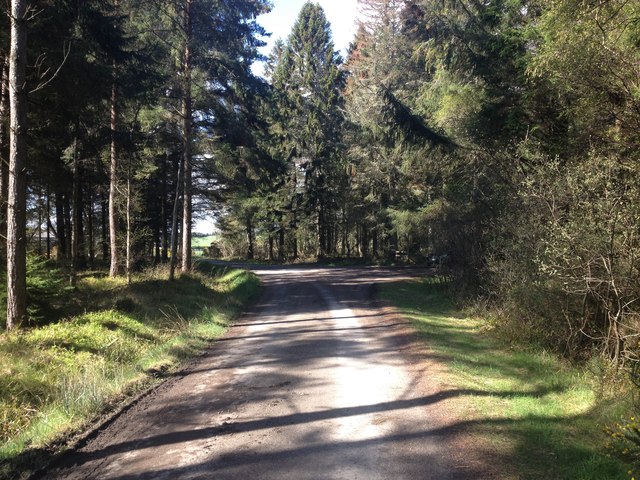
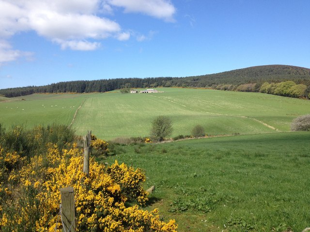
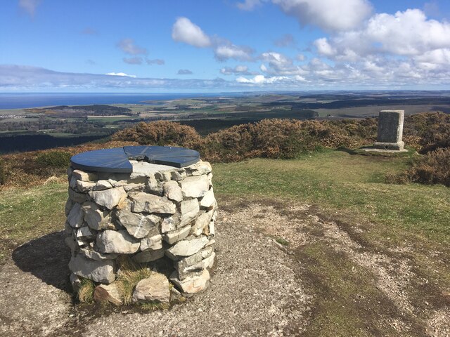
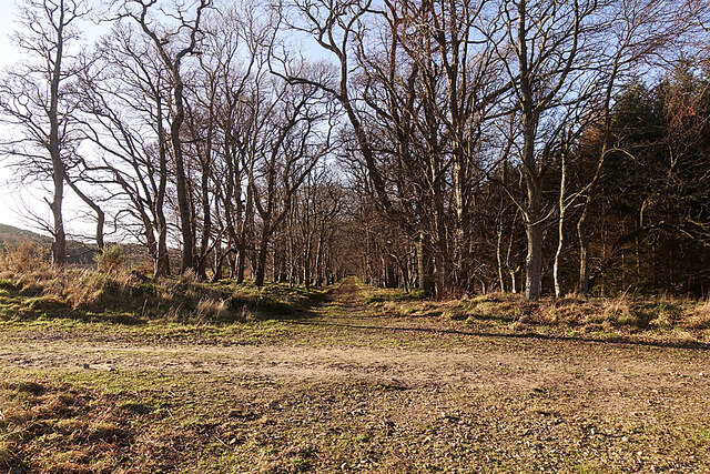
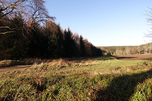
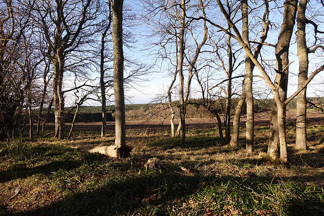
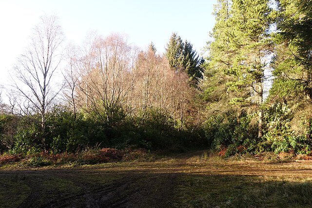
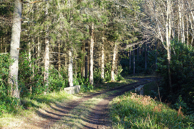
High Glen Plantation is a sprawling woodland located in Banffshire, a picturesque region in northeastern Scotland. Covering an area of approximately 500 acres, this enchanting forest is renowned for its stunning natural beauty and rich biodiversity. The plantation is nestled within the scenic Glenlivet Estate, which is known for its rolling hills, crystal-clear streams, and dramatic mountainous landscapes.
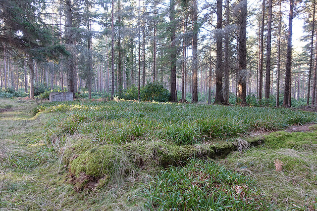
The woodland of High Glen Plantation is predominantly composed of native Scottish trees, including Scots pine, birch, and rowan. These majestic trees create a diverse and thriving ecosystem, providing a habitat for various wildlife species such as red deer, roe deer, and a wide range of bird species.
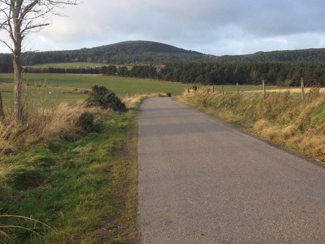
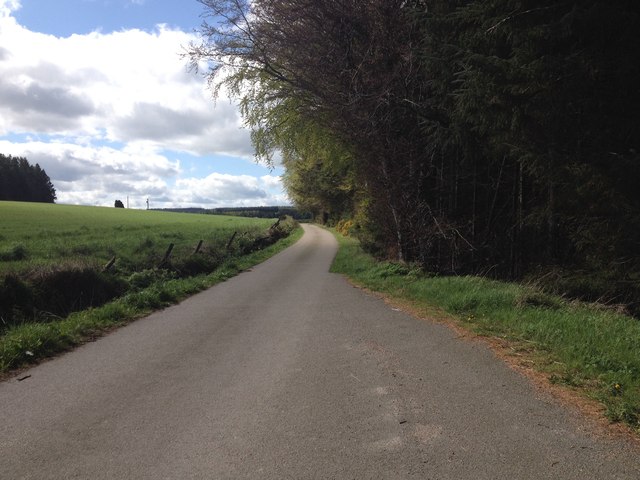
Visitors to High Glen Plantation can explore the forest through a network of well-maintained trails that wind through its verdant landscape. These paths offer breathtaking views of the surrounding countryside and provide an opportunity to observe the local flora and fauna up close. The plantation is a popular destination for nature lovers, hikers, and birdwatchers, who can enjoy the peace and tranquility of the forest while immersing themselves in its natural wonders.
High Glen Plantation also holds historical significance, as it was once a key location for the timber industry in the region. The remnants of old sawmills and logging tracks can still be found within the forest, serving as a reminder of the area's industrial past.
Overall, High Glen Plantation is a captivating woodland that showcases the beauty of Scotland's natural landscapes and offers a haven for both wildlife and outdoor enthusiasts.
If you have any feedback on the listing, please let us know in the comments section below.
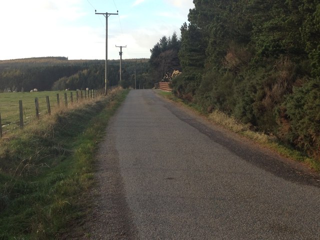
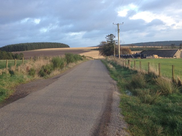
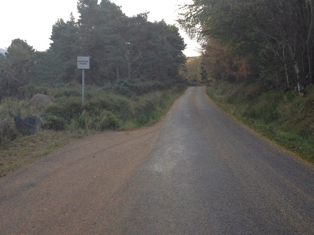
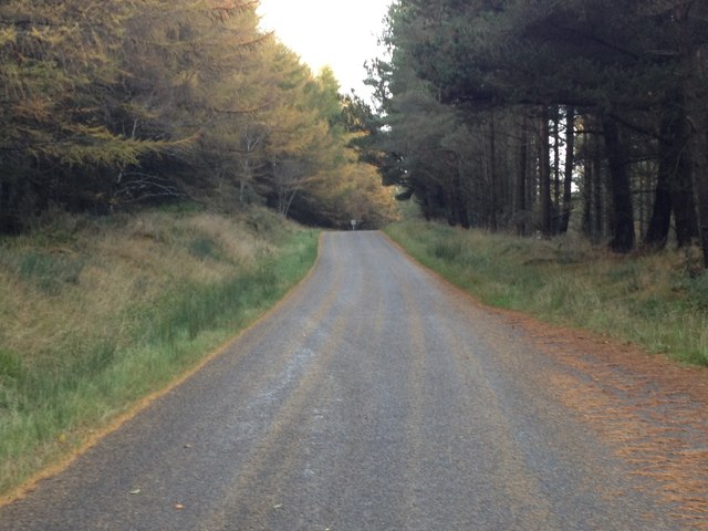
High Glen Plantation Images
Images are sourced within 2km of 57.664465/-2.8553225 or Grid Reference NJ4964. Thanks to Geograph Open Source API. All images are credited.
High Glen Plantation is located at Grid Ref: NJ4964 (Lat: 57.664465, Lng: -2.8553225)
Unitary Authority: Moray
Police Authority: North East
What 3 Words
///ambushes.talker.affirming. Near Cullen, Moray
Nearby Locations
Related Wikis

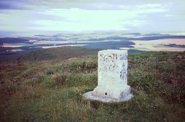
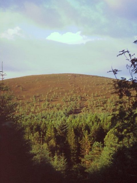
Bin of Cullen
Bin of Cullen or Bin Hill (Scottish Gaelic: Am Binnean) is a hill in Moray, Scotland directly inland from Findochty. Bin of Cullen is 320 m in height and...

Cullen House
Cullen House is a large house, about 1 kilometre (0.6 mi) south-west of the coastal town of Cullen in Moray, Scotland. It was the seat of the Ogilvies...
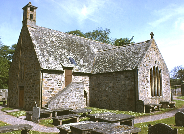
Cullen Old Church
Cullen Old Church (also known as Cullen Auld Kirk) is the parish church for Cullen and Deskford, in Moray. It was originally a part of the Roman Catholic...

Battle of Bauds
Battle of Bauds was a battle fought in 962 in an area known as the Bauds, south of Findochty and west of Cullen near Portknockie, Scotland between Scotland...
Nearby Amenities
Located within 500m of 57.664465,-2.8553225Have you been to High Glen Plantation?
Leave your review of High Glen Plantation below (or comments, questions and feedback).