Man's End Plantation
Wood, Forest in Roxburghshire
Scotland
Man's End Plantation
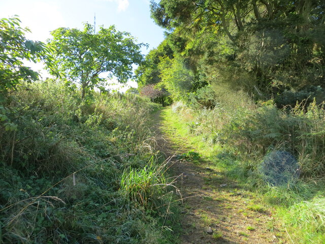
Man's End Plantation is a picturesque woodland located in Roxburghshire, Scotland. Covering an area of approximately 100 acres, this enchanting forest is a haven for nature lovers and outdoor enthusiasts. The plantation is named after a historical figure, Mr. Man, who once owned the land.
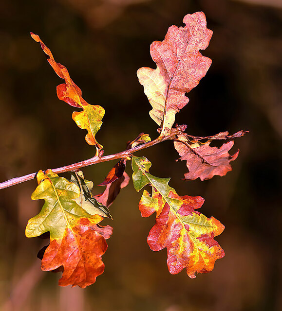
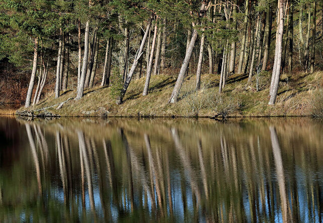
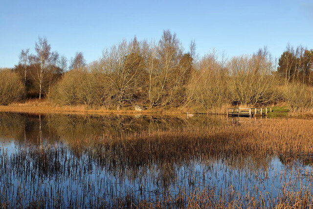
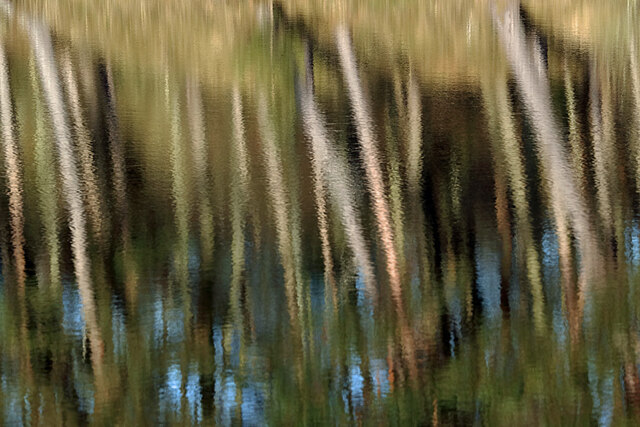
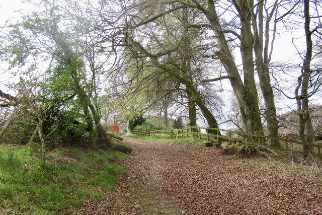
The woodland is predominantly composed of native tree species such as oak, birch, and beech, creating a diverse and vibrant ecosystem. The dense canopy formed by these majestic trees provides ample shade, ideal for leisurely walks and picnics on sunny days. The forest floor is carpeted with a lush layer of mosses, ferns, and wildflowers, adding to the tranquility and beauty of the surroundings.
Man's End Plantation also boasts a network of well-maintained trails, allowing visitors to explore the area and discover its hidden gems. These trails range from easy strolls to more challenging hikes, catering to people of all fitness levels. Along the way, hikers may encounter various wildlife, including deer, squirrels, and a rich variety of bird species.
The plantation is a designated Site of Special Scientific Interest (SSSI) due to its ecological importance. It provides a habitat for several rare and protected species, including red squirrels and the lesser spotted woodpecker. As such, visitors are encouraged to respect the natural environment and adhere to any signage or guidelines provided.
Man's End Plantation is a true retreat from the hustle and bustle of modern life, offering a peaceful and serene experience for those seeking solace in nature. With its breathtaking scenery and abundant wildlife, this woodland is a must-visit destination for anyone looking to reconnect with the natural world.
If you have any feedback on the listing, please let us know in the comments section below.
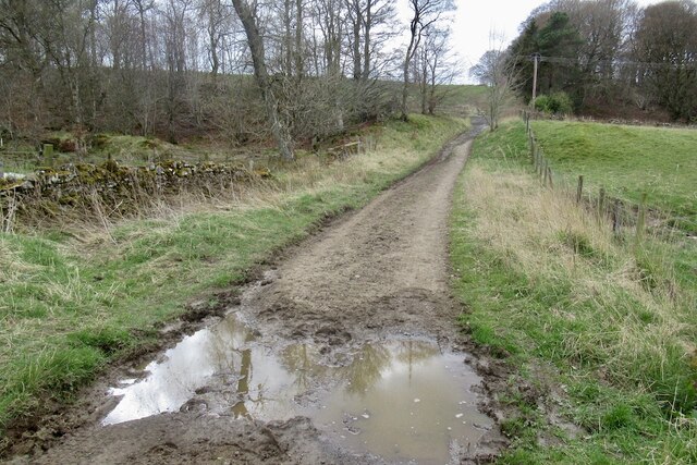
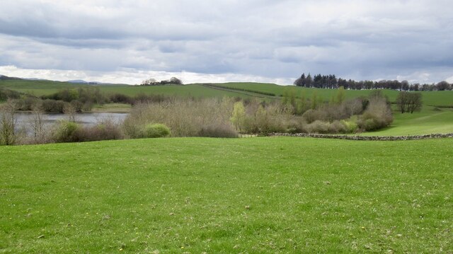
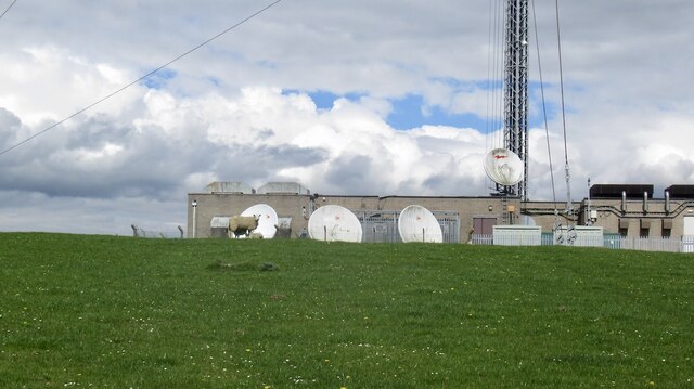
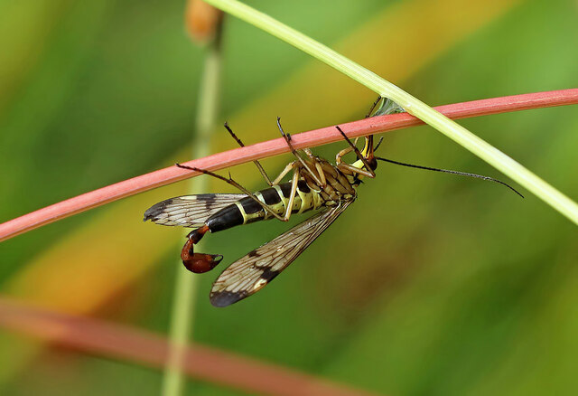
Man's End Plantation Images
Images are sourced within 2km of 55.570192/-2.8006158 or Grid Reference NT4931. Thanks to Geograph Open Source API. All images are credited.


Man's End Plantation is located at Grid Ref: NT4931 (Lat: 55.570192, Lng: -2.8006158)
Unitary Authority: The Scottish Borders
Police Authority: The Lothians and Scottish Borders
What 3 Words
///providing.alpha.flying. Near Selkirk, Scottish Borders
Nearby Locations
Related Wikis

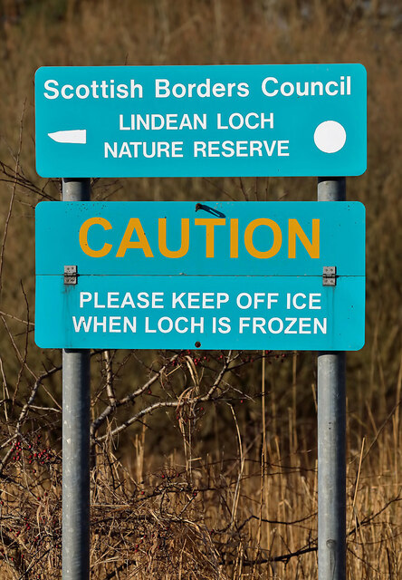
Lindean
Lindean is a village north of Selkirk and the Ettrick Water, in the Scottish Borders area of Scotland. In 1590 the parishioners of Lindean had permission...

Lindean railway station
Lindean railway station served the village of Lindean, Scottish Borders, Scotland, from 1856 to 1964 on the Selkirk and Galashiels Railway. == History... ==

Boleside
Boleside is a village in the Scottish Borders area of Scotland, on the B7060, south of Galashiels. It is very close to the place where the Ettrick Water...

Ettrick Water
The Ettrick Water is a river in Ettrick, by the village of Ettrickbridge and the historic town of Selkirk, in the Scottish Borders area of Scotland. The...
Nearby Amenities
Located within 500m of 55.570192,-2.8006158Have you been to Man's End Plantation?
Leave your review of Man's End Plantation below (or comments, questions and feedback).