Oaken Dean

Valley in Roxburghshire

Scotland

Oaken Dean

Coloured Ryelands Coloured Ryeland sheep near Selkirk.  Once Ryelands came in any colour you like as long as it's white.  Then one of our tups had a wee mutation and we had a spate of black lambs.  I lobbied hard for keeping them, thinking that the influx of craft types to Herefordshire in the early 1980s may like the wool colours.  Traditionalists wanted nothing to do with them, and a new breed was set up.

A glimpse of that dark brown caused sharp braking and application of a reverse gear.
Coloured Ryelands Credit: Richard Webb

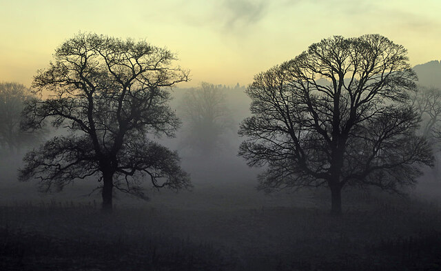
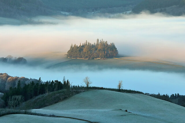
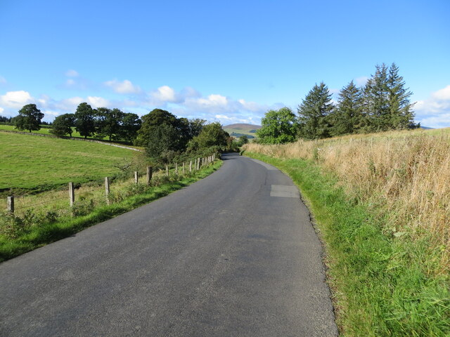
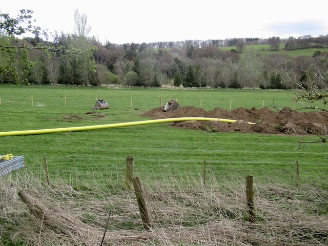
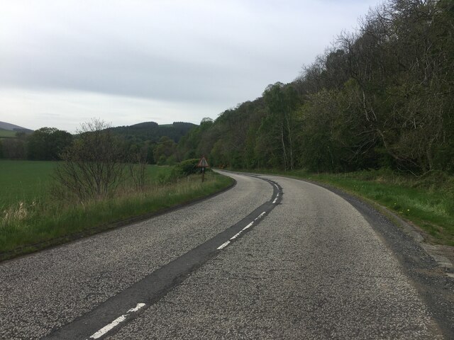
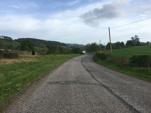
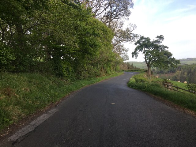
Oaken Dean, located in Roxburghshire, is a picturesque valley renowned for its natural beauty and tranquil atmosphere. Situated in the southern part of Scotland, the valley is surrounded by rolling hills and dense woodland, offering visitors a stunning backdrop to explore and enjoy.

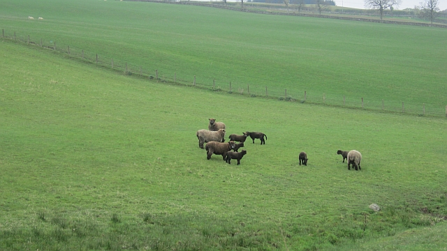
The main attraction of Oaken Dean is its abundance of wildlife and diverse ecosystems. The valley is home to a wide variety of animals, including red squirrels, otters, and various bird species. Nature enthusiasts can spot these creatures while walking along the numerous trails that crisscross the valley, providing a perfect opportunity for birdwatching and photography.

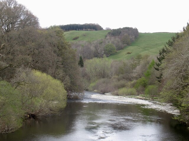
The Oaken Burn, a charming stream that flows through the valley, adds to the serenity of the area. With its crystal-clear water and gentle babbling, the burn provides a soothing ambiance for visitors seeking relaxation or a peaceful picnic spot. Additionally, the valley boasts several small waterfalls, which can be discovered along the hiking trails, further enhancing the beauty of the surroundings.

For those interested in history, Oaken Dean offers a glimpse into the past. The valley is dotted with remnants of ancient settlements, including stone circles and burial mounds, providing a glimpse into the rich cultural heritage of the area. Exploring these historical sites adds an extra layer of fascination to the already captivating natural environment.

Overall, Oaken Dean, Roxburghshire, offers a haven of natural beauty, wildlife, and historical intrigue. Whether it's a leisurely stroll, a wildlife expedition, or a journey into the region's past, this valley provides an enchanting experience for visitors of all ages.

If you have any feedback on the listing, please let us know in the comments section below.
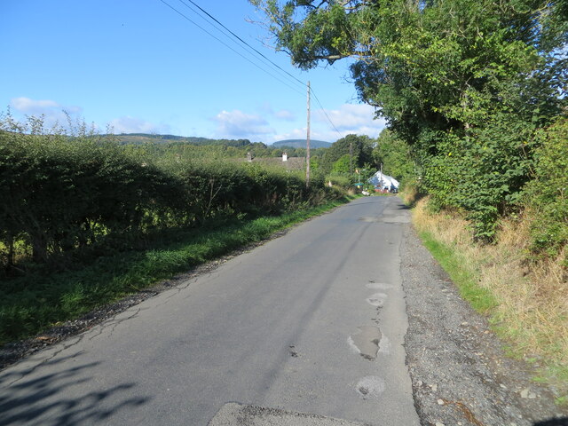
Oaken Dean Images

Images are sourced within 2km of 55.576296/-2.808385 or Grid Reference NT4931. Thanks to Geograph Open Source API. All images are credited.

Coloured Ryelands Coloured Ryeland sheep near Selkirk.  Once Ryelands came in any colour you like as long as it's white.  Then one of our tups had a wee mutation and we had a spate of black lambs.  I lobbied hard for keeping them, thinking that the influx of craft types to Herefordshire in the early 1980s may like the wool colours.  Traditionalists wanted nothing to do with them, and a new breed was set up.

A glimpse of that dark brown caused sharp braking and application of a reverse gear.
Coloured Ryelands
Coloured Ryeland sheep near Selkirk. Once Ryelands came in any colour you like as long as it's white. Then one of our tups had a wee mutation and we had a spate of black lambs. I lobbied hard for keeping them, thinking that the influx of craft types to Herefordshire in the early 1980s may like the wool colours. Traditionalists wanted nothing to do with them, and a new breed was set up. A glimpse of that dark brown caused sharp braking and application of a reverse gear.
Track near Shawmount The track meets a minor road down to Selkirk, also used by the Borders Abbeys Way.
Track near Shawmount
The track meets a minor road down to Selkirk, also used by the Borders Abbeys Way.
Minor  road  back  to  Shawmount Route of B A Way
Minor road back to Shawmount
Route of B A Way
Track to Lindean A track from the minor road at Shawmount down to the A7.
Track to Lindean
A track from the minor road at Shawmount down to the A7.
Winter trees by the River Tweed Freezing fog was beginning to form in this dusk shot taken from Tweed Bridge.
Winter trees by the River Tweed
Freezing fog was beginning to form in this dusk shot taken from Tweed Bridge.
Rink Hill from Eildon Mid Hill The small circular plantation on Rink Hill is the site of an Iron Age hillfort. This telephoto shot was taken from the summit of Eildon Mid Hill during a December sunrise. For two closer views of the small plantation on Rink Hill, see <a href="https://www.geograph.org.uk/photo/2347041">NT4832 : The Rink Hill Fort</a> and <a href="https://www.geograph.org.uk/photo/1758293">NT4732 : Rink Hill</a>.
Rink Hill from Eildon Mid Hill
The small circular plantation on Rink Hill is the site of an Iron Age hillfort. This telephoto shot was taken from the summit of Eildon Mid Hill during a December sunrise. For two closer views of the small plantation on Rink Hill, see NT4832 : The Rink Hill Fort and NT4732 : Rink Hill.
Bridgelands Road, Selkirk Looking south-westward.
Bridgelands Road, Selkirk
Looking south-westward.
Lane leading to St Helens, Selkirk Looking south-eastward.
Lane leading to St Helens, Selkirk
Looking south-eastward.
Minor road approaching Lindean Hall Looking north-westward.
Minor road approaching Lindean Hall
Looking north-westward.
Minor road approaching Glenwhilt Looking westward.
Minor road approaching Glenwhilt
Looking westward.
A7 and cycle path, Lindean Linking Selkirk and Galashiels by use of path beside the A7 and redundant road alignments.
A7 and cycle path, Lindean
Linking Selkirk and Galashiels by use of path beside the A7 and redundant road alignments.
Ettrick Water View downstream from Ettrick Bridge, a redundant alignment of the A7.
Ettrick Water
View downstream from Ettrick Bridge, a redundant alignment of the A7.
Tweed Bridge Once it carried the A7 it has now been refurbished as a cycle path.
Tweed Bridge
Once it carried the A7 it has now been refurbished as a cycle path.
Pipeline construction Between Galshiels and Selkirk
Pipeline construction
Between Galshiels and Selkirk
Pipeline construction
B6360 near Faldonside
B7060 towards Yair
B7060 towards Yair
B7060 near Yair
B7060 near Yair
Show me another place!

Oaken Dean is located at Grid Ref: NT4931 (Lat: 55.576296, Lng: -2.808385)

Unitary Authority: The Scottish Borders

Police Authority: The Lothians and Scottish Borders

What 3 Words

///pigtails.terminal.translated. Near Selkirk, Scottish Borders

Related Wikis

Boleside

Boleside is a village in the Scottish Borders area of Scotland, on the B7060, south of Galashiels. It is very close to the place where the Ettrick Water...

Ettrick Water

The Ettrick Water is a river in Ettrick, by the village of Ettrickbridge and the historic town of Selkirk, in the Scottish Borders area of Scotland. The...

Lindean railway station

Lindean railway station served the village of Lindean, Scottish Borders, Scotland, from 1856 to 1964 on the Selkirk and Galashiels Railway. == History... ==

Lindean

Lindean is a village north of Selkirk and the Ettrick Water, in the Scottish Borders area of Scotland. In 1590 the parishioners of Lindean had permission...

Abbotsford Ferry railway station

Abbotsford Ferry railway station was a small railway station on the branch line from Galashiels to Selkirk railway station at Selkirk in the Scottish county...

Bridgelands

Bridgelands is a village and an 18th-century house in the Scottish Borders area of Scotland, in the parish of Selkirk. Sir Henry Raeburn's wife came from...

Selkirk transmitting station

The Selkirk transmitting station is a telecommunications facility located next to Lindean Loch, near Selkirk in the Scottish Borders. It includes a 229...

Abbotsford, Scottish Borders

Abbotsford is a historic country house in the Scottish Borders, near Galashiels, on the south bank of the River Tweed. Now open to the public, it was built...

Have you been to Oaken Dean?

Leave your review of Oaken Dean below (or comments, questions and feedback).