Bailhill Wood

Wood, Forest in Roxburghshire

Scotland

Bailhill Wood

Enclosed footpath beside Halfcrown Corner Covert Looking south-westward. The path is part of the Borders Abbey Way Path.
Enclosed footpath beside Halfcrown Corner Covert Credit: Peter Wood

Bailhill Wood is a picturesque forest located in Roxburghshire, a historic county in the Scottish Borders region of Scotland. This enchanting woodland covers an area of approximately 50 acres and is known for its diverse range of plant and animal species.

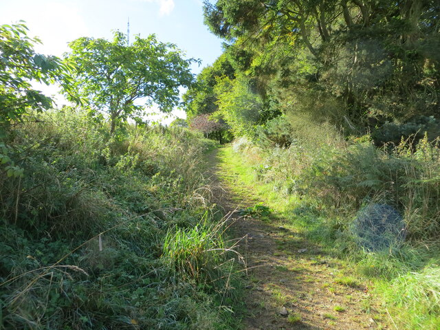
The wood is predominantly composed of native broadleaf trees, including oak, beech, ash, and birch. These majestic trees create a dense canopy, casting dappled sunlight on the forest floor and providing a tranquil and peaceful atmosphere for visitors to immerse themselves in nature.

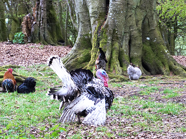
Bailhill Wood is a popular destination for nature enthusiasts, walkers, and birdwatchers. The forest is home to a variety of bird species, including woodpeckers, owls, and various songbirds. Visitors can often spot these feathered creatures flitting among the trees or hear their melodious calls echoing through the woods.

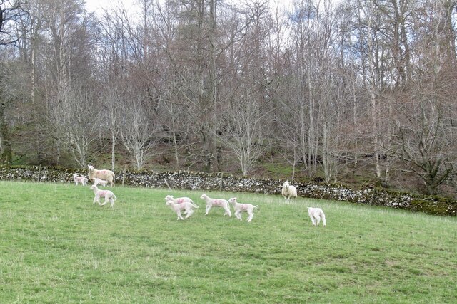
For those interested in flora, the forest floor is adorned with a tapestry of wildflowers, ferns, and mosses, adding to the wood's natural beauty. The woodland also supports a rich diversity of wildlife, with mammals such as red squirrels, badgers, and deer making occasional appearances.

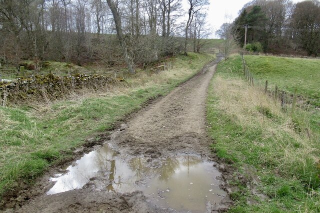
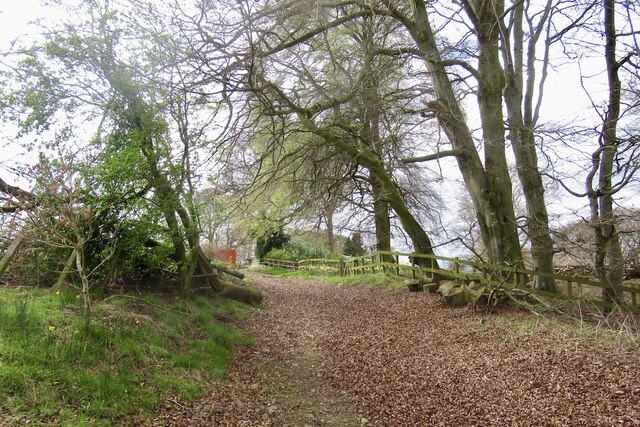
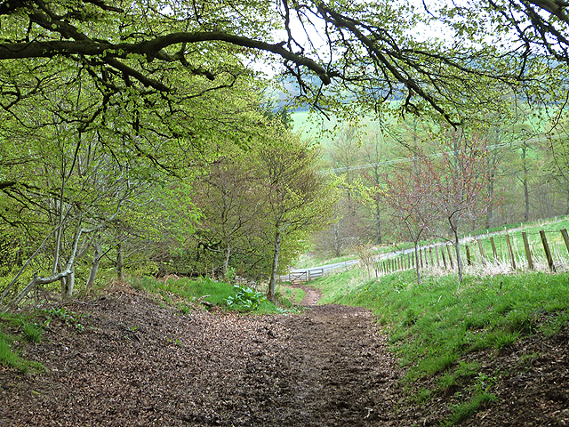
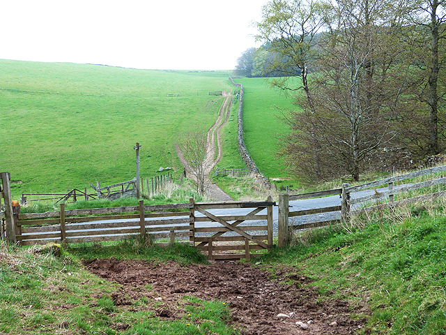
The forest is crisscrossed with well-maintained footpaths, allowing visitors to explore its various nooks and crannies. These paths lead to hidden glens, babbling brooks, and open clearings, providing ample opportunities for picnics or simply enjoying the serenity of nature.

Bailhill Wood truly offers a peaceful retreat for those seeking solace in nature's embrace. Its beauty and tranquility make it a cherished gem in Roxburghshire's natural landscape.

If you have any feedback on the listing, please let us know in the comments section below.

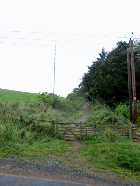
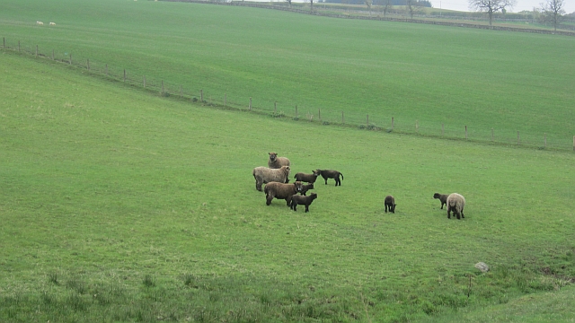
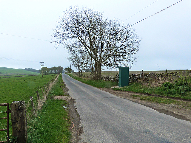
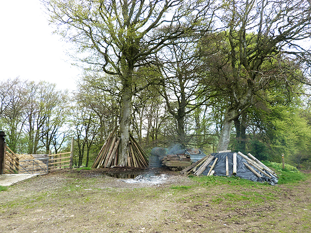
Bailhill Wood Images

Images are sourced within 2km of 55.573944/-2.8067824 or Grid Reference NT4931. Thanks to Geograph Open Source API. All images are credited.

Enclosed footpath beside Halfcrown Corner Covert Looking south-westward. The path is part of the Borders Abbey Way Path.
Enclosed footpath beside Halfcrown Corner Covert
Looking south-westward. The path is part of the Borders Abbey Way Path.
Lambs by the Batts Burn
Green lane, Lindean
Green lane, Lindean
Green lane, Woodlands Climbing on to Linean Moor.
Green lane, Woodlands
Climbing on to Linean Moor.
Borders  Abbeys  Way  toward  Whitlaw  Kips
Borders Abbeys Way toward Whitlaw Kips
Borders  Abbeys  Way   alongside  Halfcrown  Corner  Covert Radio mast on Lindean Moor left of centre
Borders Abbeys Way alongside Halfcrown Corner Covert
Radio mast on Lindean Moor left of centre
Pigs, Halfcrown Corner Covert Denizens of Halfcrown Corner Covert - very friendly and rather old fashioned looking pigs.
Pigs, Halfcrown Corner Covert
Denizens of Halfcrown Corner Covert - very friendly and rather old fashioned looking pigs.
Lindean Moor Farm Sitting near the junction of Lindean and Selkirk roads.
Lindean Moor Farm
Sitting near the junction of Lindean and Selkirk roads.
Hydraulic ram on Batts Burn A hydraulic ram is a water-operated pump that lifts water to a higher level on a regular pulsing cycle, requiring no extra power source. The power comes from the flow energy of the water entering the pump - see <span class="nowrap"><a title="http://en.wikipedia.org/wiki/Hydraulic_ram" rel="nofollow ugc noopener" href="http://en.wikipedia.org/wiki/Hydraulic_ram">Link</a><img style="margin-left:2px;" alt="External link" title="External link - shift click to open in new window" src="https://s1.geograph.org.uk/img/external.png" width="10" height="10"/></span>

The nearer brick chamber appears to have been a water tank used to supply the ram, which is situated in the second brick structure. It could have been used to pump water up to a nearby building.
Hydraulic ram on Batts Burn
A hydraulic ram is a water-operated pump that lifts water to a higher level on a regular pulsing cycle, requiring no extra power source. The power comes from the flow energy of the water entering the pump - see LinkExternal link The nearer brick chamber appears to have been a water tank used to supply the ram, which is situated in the second brick structure. It could have been used to pump water up to a nearby building.
Borders Abbeys Way signpost The Way crosses the minor road to Lindean Reservoir and swings W on its descent to Selkirk.
Borders Abbeys Way signpost
The Way crosses the minor road to Lindean Reservoir and swings W on its descent to Selkirk.
"This is my best side!" A turkey cock posing for the camera, giving a magnificent display of inflated pomposity and putting the photographer firmly in his place.
"This is my best side!"
A turkey cock posing for the camera, giving a magnificent display of inflated pomposity and putting the photographer firmly in his place.
Halfcrown Corner Covert A small wood surrounding farm buildings on Lindean Moor - to be renamed '12.5p Corner Covert'?
Halfcrown Corner Covert
A small wood surrounding farm buildings on Lindean Moor - to be renamed '12.5p Corner Covert'?
Coloured Ryelands Coloured Ryeland sheep near Selkirk.  Once Ryelands came in any colour you like as long as it's white.  Then one of our tups had a wee mutation and we had a spate of black lambs.  I lobbied hard for keeping them, thinking that the influx of craft types to Herefordshire in the early 1980s may like the wool colours.  Traditionalists wanted nothing to do with them, and a new breed was set up.

A glimpse of that dark brown caused sharp braking and application of a reverse gear.
Coloured Ryelands
Coloured Ryeland sheep near Selkirk. Once Ryelands came in any colour you like as long as it's white. Then one of our tups had a wee mutation and we had a spate of black lambs. I lobbied hard for keeping them, thinking that the influx of craft types to Herefordshire in the early 1980s may like the wool colours. Traditionalists wanted nothing to do with them, and a new breed was set up. A glimpse of that dark brown caused sharp braking and application of a reverse gear.
Country road at Lindean The "sentry box" is in fact a regulatory final sample point for Scottish Water.
Country road at Lindean
The "sentry box" is in fact a regulatory final sample point for Scottish Water.
Wood stacks at Halfcrown Corner Covert
Turkey and bantams in Halfcrown Corner Covert
Borders Abbey Way at Halfcrown Corner Covert The Borders Abbeys Way, a circular long-distance walking route in the Scottish Borders, drops steeply down this muddy path.
Borders Abbey Way at Halfcrown Corner Covert
The Borders Abbeys Way, a circular long-distance walking route in the Scottish Borders, drops steeply down this muddy path.
Borders Abbeys Way below Halfcrown Corner Covert The Borders Abbeys Way, a circular long-distance walking route in the Scottish Borders, crosses the road and passes along this path up onto a shoulder of White Law.
Borders Abbeys Way below Halfcrown Corner Covert
The Borders Abbeys Way, a circular long-distance walking route in the Scottish Borders, crosses the road and passes along this path up onto a shoulder of White Law.
Show me another place!

Bailhill Wood is located at Grid Ref: NT4931 (Lat: 55.573944, Lng: -2.8067824)

Unitary Authority: The Scottish Borders

Police Authority: The Lothians and Scottish Borders

What 3 Words

///breed.stability.sheep. Near Selkirk, Scottish Borders

Related Wikis

Lindean railway station

Lindean railway station served the village of Lindean, Scottish Borders, Scotland, from 1856 to 1964 on the Selkirk and Galashiels Railway. == History... ==

Boleside

Boleside is a village in the Scottish Borders area of Scotland, on the B7060, south of Galashiels. It is very close to the place where the Ettrick Water...

Ettrick Water

The Ettrick Water is a river in Ettrick, by the village of Ettrickbridge and the historic town of Selkirk, in the Scottish Borders area of Scotland. The...

Lindean

Lindean is a village north of Selkirk and the Ettrick Water, in the Scottish Borders area of Scotland. In 1590 the parishioners of Lindean had permission...

Nearby Amenities

Located within 500m of 55.573944,-2.8067824
Lindean
Place: village
Wikidata: Q6552195
Wikipedia: en:Lindean
Lat/Long: 55.5710543/-2.8106193
Generator Method: photovoltaic
Generator Output Electricity: yes
Generator Source: solar
Generator Type: solar_photovoltaic_panel
Power: generator
Lat/Long: 55.5707463/-2.8120494
Generator Method: photovoltaic
Generator Output Electricity: yes
Generator Source: solar
Generator Type: solar_photovoltaic_panel
Power: generator
Lat/Long: 55.569756/-2.8064731
Power: pole
Lat/Long: 55.5695696/-2.8075035
Power: pole
Lat/Long: 55.5697869/-2.8086997
Power: pole
Lat/Long: 55.5699955/-2.8098729
Power: pole
Lat/Long: 55.570138/-2.8106925
Power: pole
Lat/Long: 55.5705826/-2.8104736
Power: pole
Lat/Long: 55.5710057/-2.8102522
The data included in this document is from www.openstreetmap.org. The data is made available under ODbL.

Have you been to Bailhill Wood?

Leave your review of Bailhill Wood below (or comments, questions and feedback).