Corrie Wood

Wood, Forest in Angus

Scotland

Corrie Wood

Farm buildings, Vayne
Farm buildings, Vayne Credit: Euan Nelson

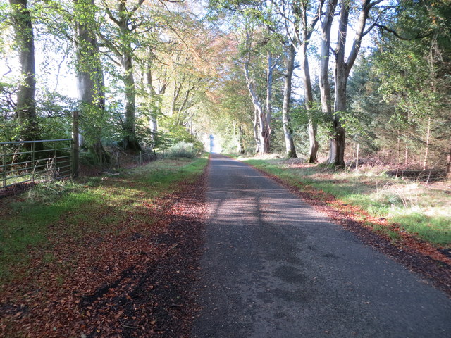
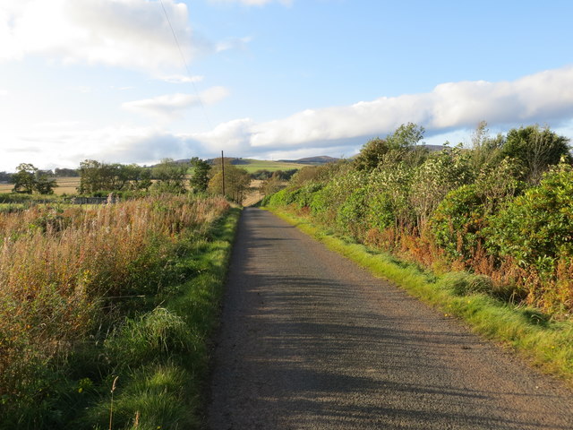
Corrie Wood, also known as Angus Wood or Corrie Forest, is a captivating woodland area located in Angus, Scotland. Spread over an expansive area, it encompasses a diverse range of natural landscapes, making it an attractive destination for nature enthusiasts and hikers alike.

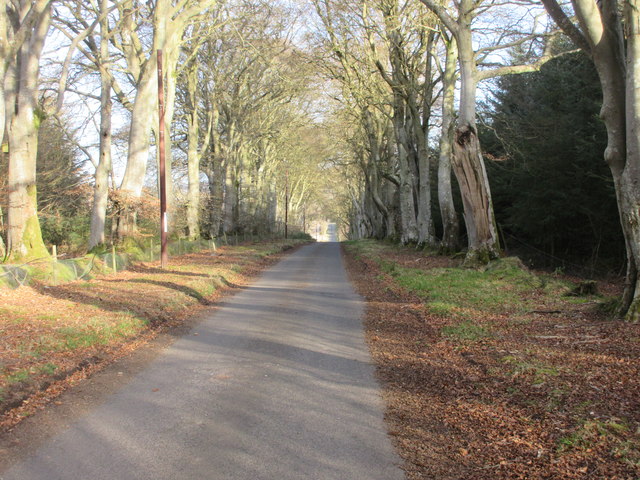
Situated near the village of Edzell, Corrie Wood is known for its picturesque beauty and tranquil atmosphere. The forest comprises a mixture of coniferous and deciduous trees, including Scots pine, birch, and oak, creating a rich tapestry of colors throughout the seasons. The dense foliage provides a habitat for a variety of wildlife, including red squirrels, deer, and a wide array of bird species.

Corrie Wood is crisscrossed with numerous walking trails, allowing visitors to explore its natural wonders at their own pace. The paths wind through the forest, revealing hidden waterfalls, babbling brooks, and stunning viewpoints. The wood is also home to the picturesque Corrie Fee, a dramatic glacial amphitheater with a towering waterfall at its center.

In addition to its natural beauty, Corrie Wood has historical significance, with remnants of prehistoric settlements and ancient burial sites scattered throughout the area. These archaeological features provide insight into the region's past and add an air of mystery to the woodland.

Corrie Wood is a haven for nature lovers seeking solace in a serene environment. Its breathtaking scenery, diverse flora and fauna, and intriguing history make it a must-visit destination in Angus, Scotland.

If you have any feedback on the listing, please let us know in the comments section below.
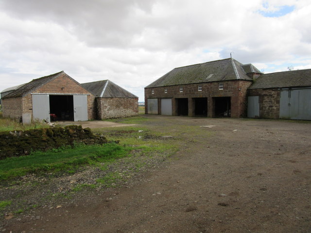
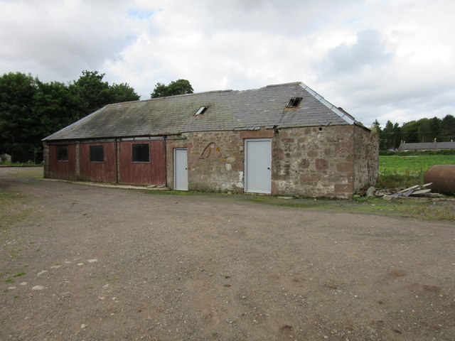
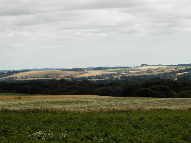
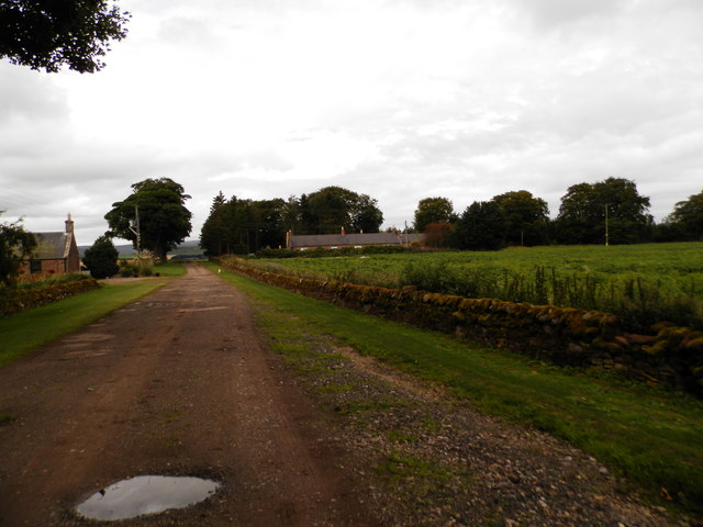
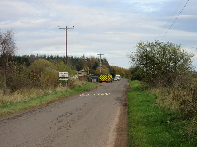
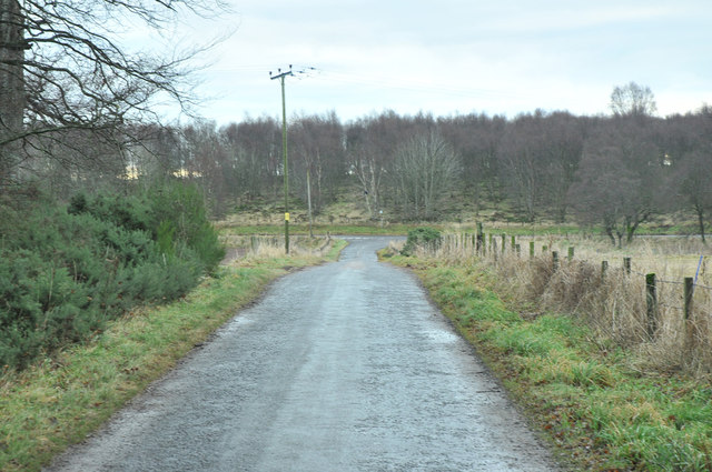
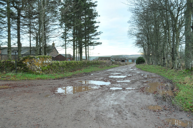
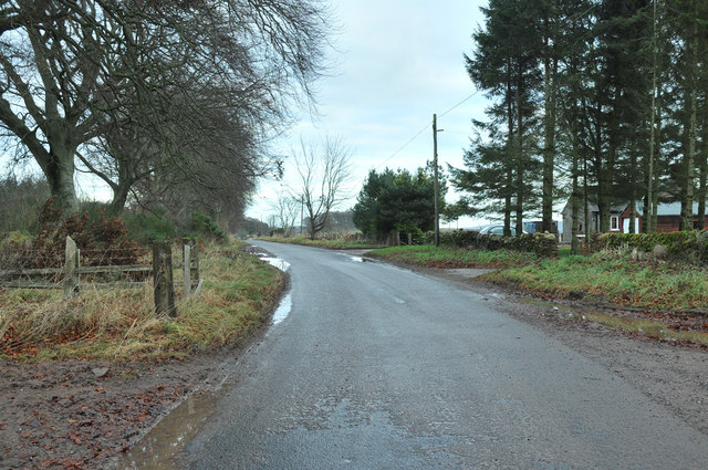
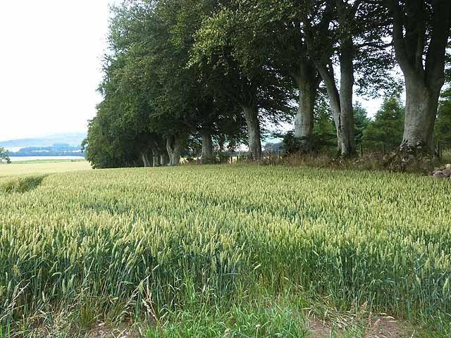
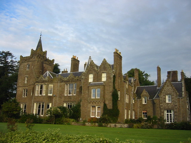
Corrie Wood Images

Images are sourced within 2km of 56.726244/-2.8313499 or Grid Reference NO4959. Thanks to Geograph Open Source API. All images are credited.

Farm buildings, Vayne
Farm building, Vayne The farm buildings at Vayne belong to the nineteenth century, but much of the stone that was used for their construction was plundered from the nearby Vayne Castle (16th century).  Evidence for this can be seen in the carved panel, or tympanum, set between the two grey doors in this picture.  The image below contains further detail:-

<a title="https://www.geograph.org.uk/photo/766688" href="https://www.geograph.org.uk/photo/766688">Link</a>
Farm building, Vayne
The farm buildings at Vayne belong to the nineteenth century, but much of the stone that was used for their construction was plundered from the nearby Vayne Castle (16th century). Evidence for this can be seen in the carved panel, or tympanum, set between the two grey doors in this picture. The image below contains further detail:- Link
Farmland at Vayne Farm
Farm road at Vayne Farm
Old Direction sign - Signpost near Wellford Bridge, Tannadice parish Ball finial - 3 arms; by the UC road, West of Wellford Bridge in parish of Tannadice (Angus District), junction with UC road to Finavon.

HES Grade C(S) listed.
Reference: LB51612 <span class="nowrap"><a title="http://portal.historicenvironment.scot/designation/LB51612" rel="nofollow ugc noopener" href="http://portal.historicenvironment.scot/designation/LB51612">Link</a><img style="margin-left:2px;" alt="External link" title="External link - shift click to open in new window" src="https://s1.geograph.org.uk/img/external.png" width="10" height="10"/></span>

Surveyed

Milestone Society National ID: AN_NO4860
Old Direction sign - Signpost near Wellford Bridge, Tannadice parish
Ball finial - 3 arms; by the UC road, West of Wellford Bridge in parish of Tannadice (Angus District), junction with UC road to Finavon. HES Grade C(S) listed. Reference: LB51612 LinkExternal link Surveyed Milestone Society National ID: AN_NO4860
Minor road between Vayne Moor and Roughmount Woods Looking north-westward.
Minor road between Vayne Moor and Roughmount Woods
Looking north-westward.
Minor road beside Redford Wood Looking north-westward in the direction of Fern.
Minor road beside Redford Wood
Looking north-westward in the direction of Fern.
Road to Fern The road heading to Fern from Careston through Vayne Moor Wood.
Road to Fern
The road heading to Fern from Careston through Vayne Moor Wood.
Fingerpost near Wellford Cast-iron fingerpost at the junction of two minor roads near Wellford.
Fingerpost near Wellford
Cast-iron fingerpost at the junction of two minor roads near Wellford.
C31 (Angus) Road at Windsor Terrace The C31 road heading eastwards approaching Windsor Terrace.
C31 (Angus) Road at Windsor Terrace
The C31 road heading eastwards approaching Windsor Terrace.
Minor road near Fern
Minor road near Noranside
Farmland near Noranside
Farm track near Wellford
Road junction at Wellford
Access road to Vayne
Road past Vayne
Road past Vayne
Wheat field beside Vayne Moor Wood
Show me another place!

Corrie Wood is located at Grid Ref: NO4959 (Lat: 56.726244, Lng: -2.8313499)

Unitary Authority: Angus

Police Authority: Tayside

What 3 Words

///joys.thighs.escorting. Near Forfar, Angus

Nearby Locations

Corrie Wood Dayne Castle

Related Wikis

Tannadice railway station

Tannadice railway station served the village of Tannadice, Angus, Scotland, from 1895 to 1952 on the Forfar and Brechin Railway. == History == The station...

Finavon

Finavon is a small settlement in Angus, Scotland. Its Ordnance Survey grid reference is NO4957. == References ==

Noranside

Noranside is a hamlet in Angus, Scotland, located at 56° 44' 0" North, 2° 52' 0" West,. The prison HMP Noranside was operated there from 1966 to 2011....

Tannadice, Angus

Tannadice is a village in Angus, Scotland that lies on the River South Esk and is 4 miles north of Forfar. The estate of Tannadice was formerly owned by...

Milton of Finavon

Milton of Finavon is a hamlet in Angus, Scotland that lies adjacent to the A90 road on its southern side by the River South Esk. It is approximately 5...

Finavon Castle

Finavon Castle lies on the River South Esk, about a quarter of a mile south of Milton of Finavon village and five miles to the north-east of Forfar in...

Oathlaw

Oathlaw is a village in Angus, Scotland, 4 miles north of Forfar. == References ==
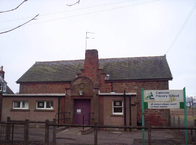
Careston

Careston is a hamlet in Angus, Scotland that is in the parish of the same name, 5 miles west of Brechin. The parish and hamlet supposedly took their name...

Nearby Amenities

Located within 500m of 56.726244,-2.8313499
Power: pole
Lat/Long: 56.7260716/-2.827683
Power: pole
Lat/Long: 56.727989/-2.8284088
Power: pole
Lat/Long: 56.7287453/-2.8285561
Power: pole
Lat/Long: 56.7293852/-2.8286575
Power: pole
Lat/Long: 56.7300239/-2.8287753
The data included in this document is from www.openstreetmap.org. The data is made available under ODbL.

Have you been to Corrie Wood?

Leave your review of Corrie Wood below (or comments, questions and feedback).