Carrotfield Plantation
Wood, Forest in Roxburghshire
Scotland
Carrotfield Plantation
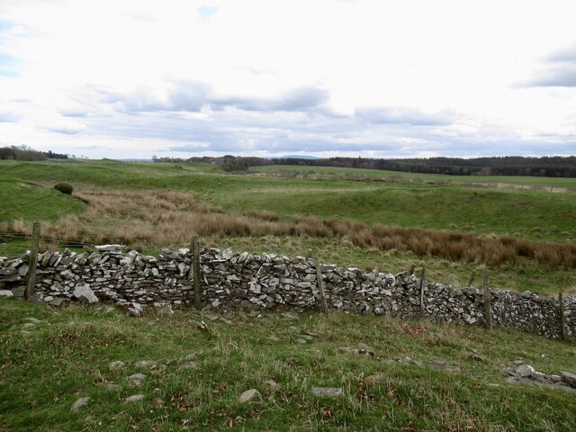
Carrotfield Plantation is a picturesque woodland located in Roxburghshire, Scotland. Spread across an expansive area, this plantation serves as a vital habitat for a diverse range of flora and fauna. It is situated near the town of Carrotfield, which adds to its charm and accessibility.
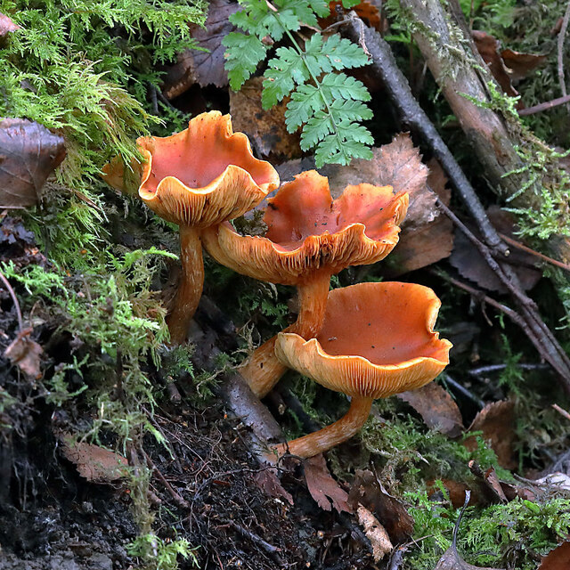
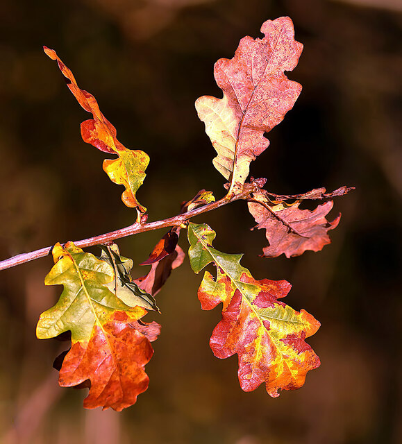
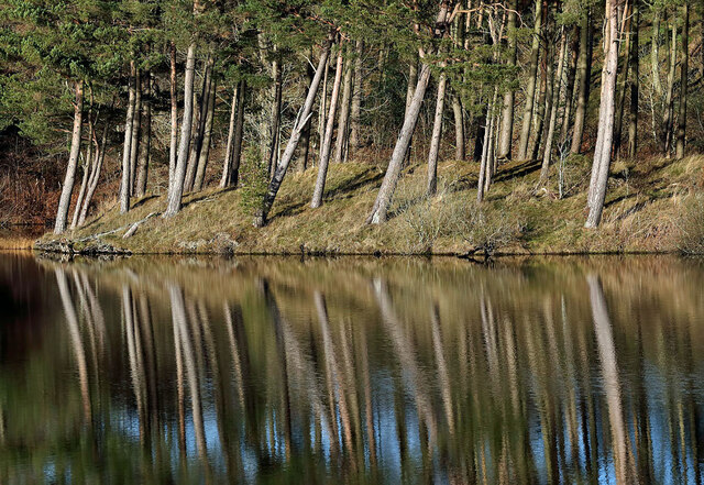
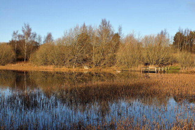
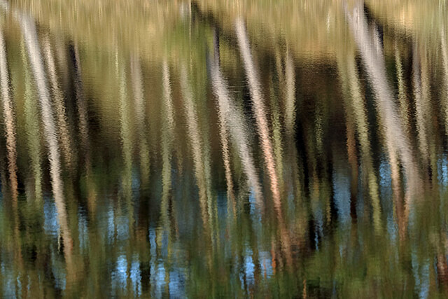
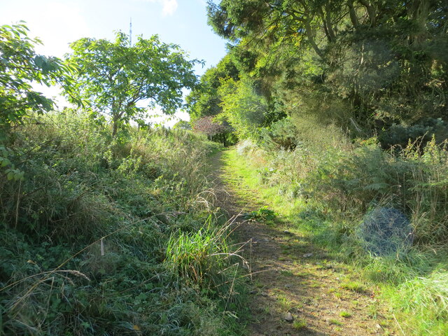
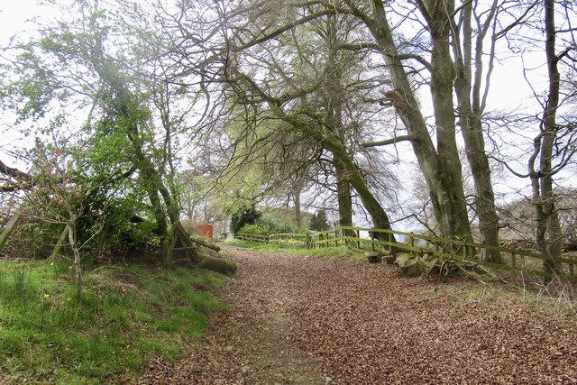
The woodland is predominantly composed of native tree species such as oak, beech, and birch, creating a dense forest canopy that provides a haven for various wildlife species. The diverse vegetation offers an array of habitats, including open clearings, densely wooded areas, and meandering streams. This unique combination of habitats attracts a wide variety of bird species, making Carrotfield Plantation a popular destination for birdwatchers.
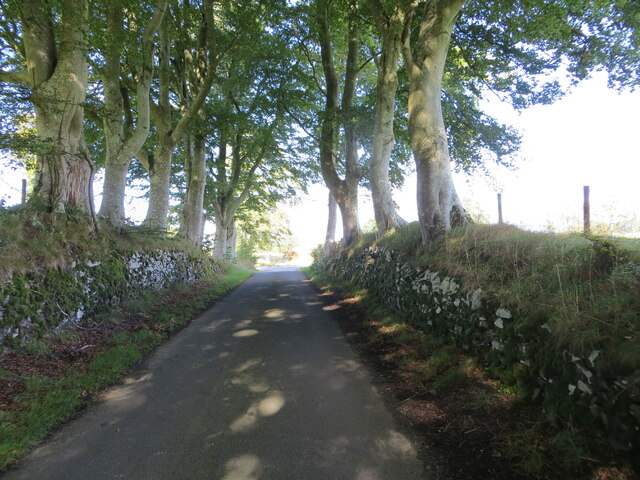
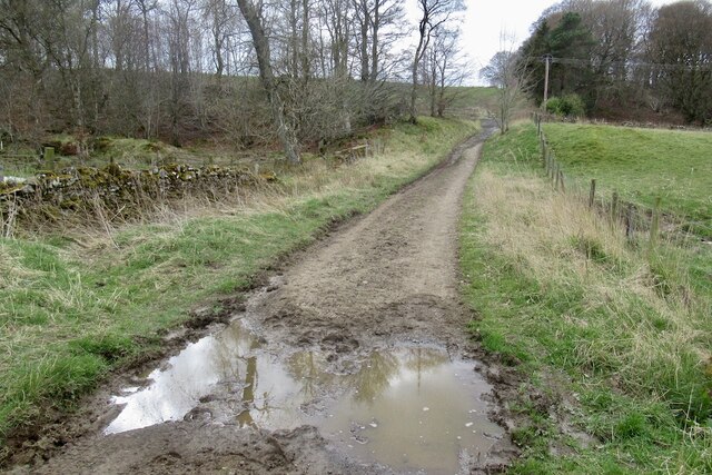
The plantation also boasts a network of well-maintained trails that wind through the woodland, offering visitors the chance to explore its natural beauty. These trails are suitable for walking, jogging, and cycling, allowing individuals to engage with nature and appreciate the tranquility of the surroundings.
In addition to its ecological importance, Carrotfield Plantation is also of historical significance. The area has been used for timber production for centuries, and remnants of old sawmills and logging operations can still be found within the woodland. This rich history adds an extra layer of intrigue to the plantation, attracting history enthusiasts and providing an opportunity to delve into the past.
Overall, Carrotfield Plantation in Roxburghshire is a captivating destination that seamlessly combines natural beauty, ecological diversity, and historical significance. Whether one seeks a peaceful walk in nature or an educational exploration, this woodland offers something for everyone.
If you have any feedback on the listing, please let us know in the comments section below.
Carrotfield Plantation Images
Images are sourced within 2km of 55.552992/-2.8036899 or Grid Reference NT4929. Thanks to Geograph Open Source API. All images are credited.
Carrotfield Plantation is located at Grid Ref: NT4929 (Lat: 55.552992, Lng: -2.8036899)
Unitary Authority: The Scottish Borders
Police Authority: The Lothians and Scottish Borders
What 3 Words
///reverted.victor.cowboys. Near Selkirk, Scottish Borders
Nearby Locations
Related Wikis

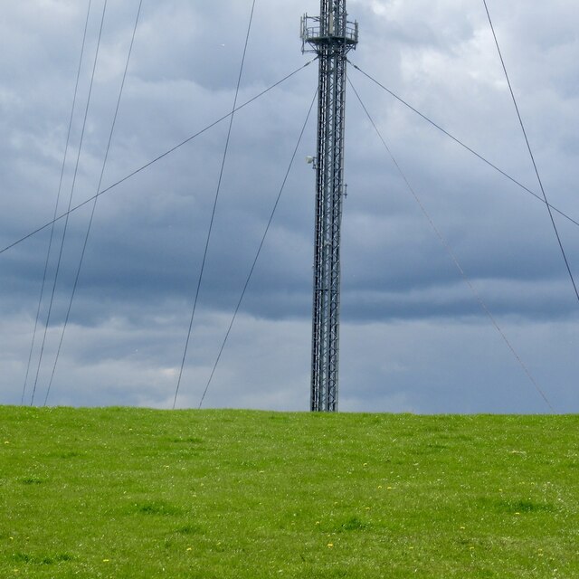
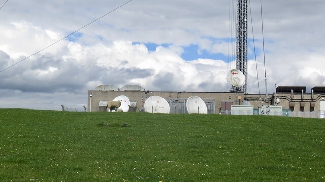
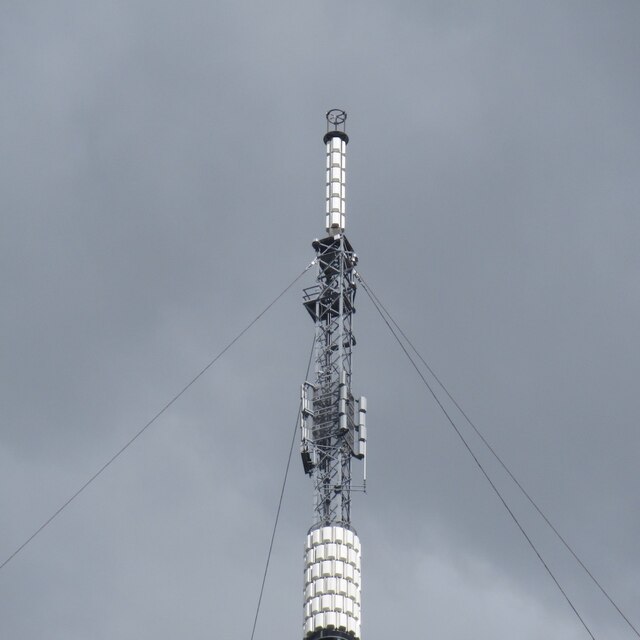
Selkirk transmitting station
The Selkirk transmitting station is a telecommunications facility located next to Lindean Loch, near Selkirk in the Scottish Borders. It includes a 229...
Bridgelands
Bridgelands is a village and an 18th-century house in the Scottish Borders area of Scotland, in the parish of Selkirk. Sir Henry Raeburn's wife came from...

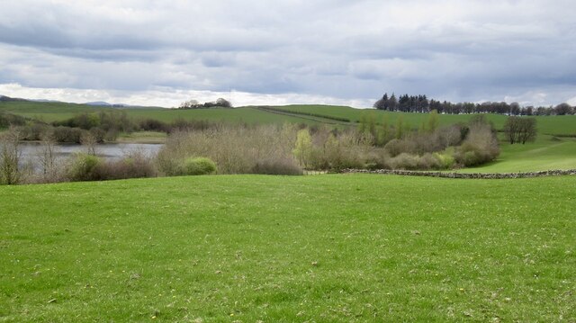
Lindean
Lindean is a village north of Selkirk and the Ettrick Water, in the Scottish Borders area of Scotland. In 1590 the parishioners of Lindean had permission...
Selkirk High School
Selkirk High School is a high school in Selkirk, Scotland, which serves the town and its surrounding area including the Ettrick and Yarrow valleys and...

Selkirk, Scottish Borders
Selkirk is a town and historic royal burgh in the Scottish Borders council district of southeastern Scotland. It lies on the Ettrick Water, a tributary...
Lindean railway station
Lindean railway station served the village of Lindean, Scottish Borders, Scotland, from 1856 to 1964 on the Selkirk and Galashiels Railway. == History... ==

Selkirk Town House
Selkirk Town House is a municipal building in the Market Place, Selkirk, Scottish Borders, Scotland. The structure, which is used as a local history museum...

County Buildings, Selkirk
County Buildings is a municipal structure in Ettrick Terrace, Selkirk, Scottish Borders, Scotland. The complex, which was the headquarters of Selkirkshire...
Nearby Amenities
Located within 500m of 55.552992,-2.8036899Have you been to Carrotfield Plantation?
Leave your review of Carrotfield Plantation below (or comments, questions and feedback).