Greenhead
Settlement in Roxburghshire
Scotland
Greenhead
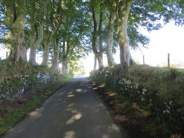
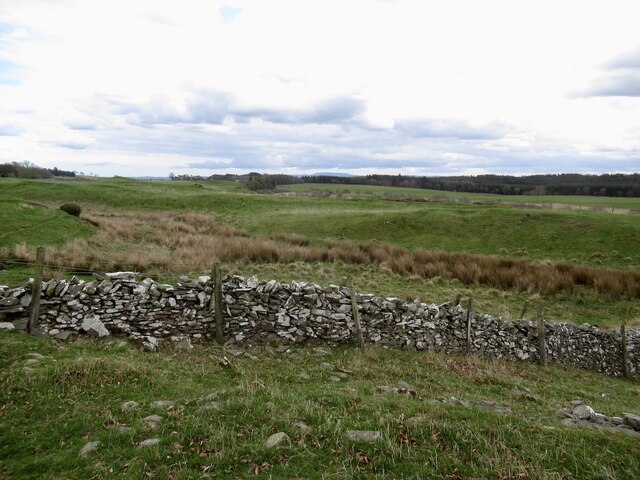
Greenhead is a small village located in the administrative area of Roxburghshire, in the Scottish Borders of Scotland. Situated approximately 2 miles north of the town of Jedburgh, Greenhead is surrounded by scenic countryside and rolling hills, offering a picturesque setting for its residents.
The village is home to a population of around 200 individuals, residing in a mix of traditional stone-built houses and more modern dwellings. The local community is close-knit and friendly, with a strong sense of community spirit.
Greenhead boasts a range of amenities for its residents, including a primary school, a village hall, and a local pub. The primary school serves the needs of the village and the surrounding area, providing education for children up to the age of 11. The village hall is a hub of activity, hosting various social events and community gatherings throughout the year.
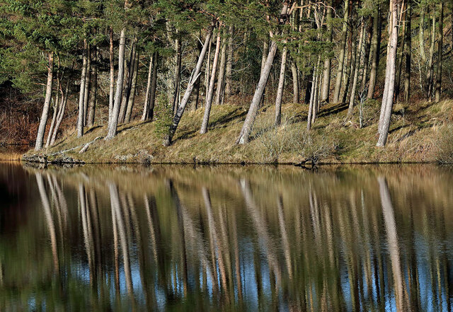
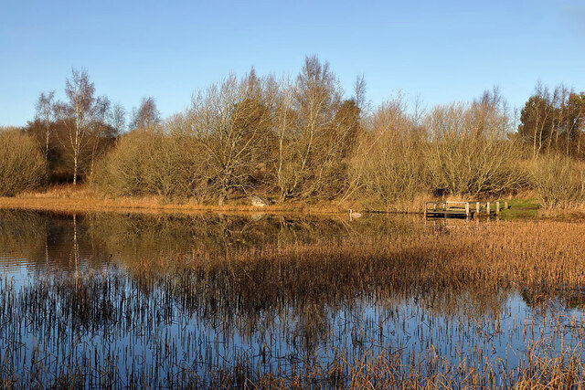
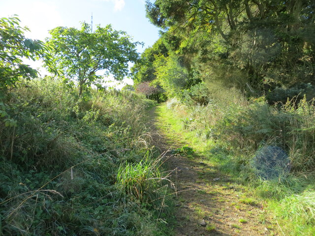
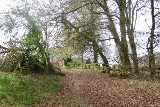
For outdoor enthusiasts, Greenhead offers ample opportunities for exploration and outdoor activities. The surrounding countryside provides beautiful walking and cycling routes, with stunning views of the Scottish landscape. Additionally, the nearby Jed Water river offers opportunities for fishing and boating.
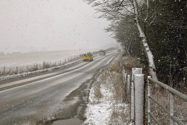
Although Greenhead is a small village, its proximity to Jedburgh ensures easy access to a wider range of amenities, including shops, supermarkets, and healthcare facilities. The village also benefits from good transportation links, with regular bus services connecting it to Jedburgh and surrounding towns.
In summary, Greenhead is a charming and close-knit village in Roxburghshire, Scotland. With its scenic location, friendly community, and range of amenities, it offers a peaceful and idyllic lifestyle for its residents.
If you have any feedback on the listing, please let us know in the comments section below.
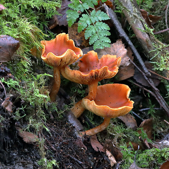
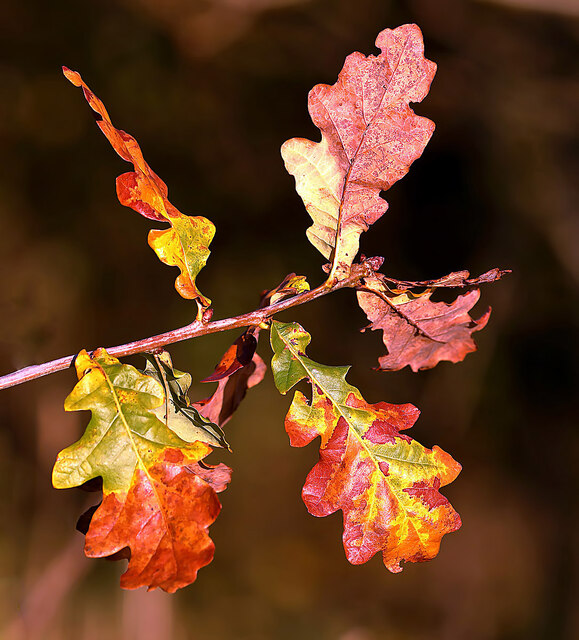
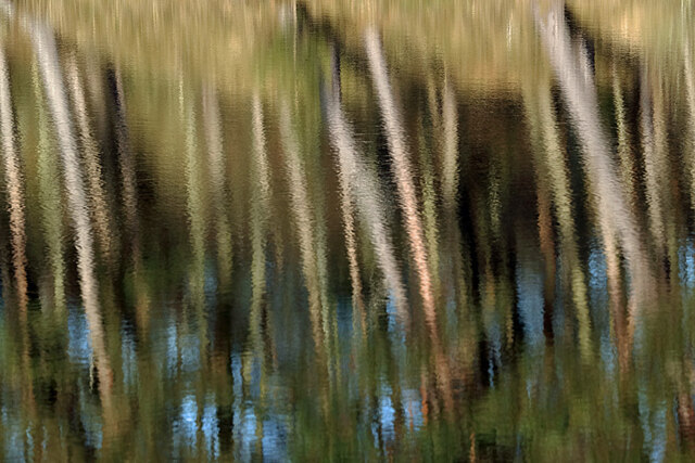
Greenhead Images
Images are sourced within 2km of 55.552016/-2.8099471 or Grid Reference NT4929. Thanks to Geograph Open Source API. All images are credited.
Greenhead is located at Grid Ref: NT4929 (Lat: 55.552016, Lng: -2.8099471)
Unitary Authority: The Scottish Borders
Police Authority: The Lothians and Scottish Borders
What 3 Words
///speaking.soups.renewals. Near Selkirk, Scottish Borders
Nearby Locations
Related Wikis

Bridgelands
Bridgelands is a village and an 18th-century house in the Scottish Borders area of Scotland, in the parish of Selkirk. Sir Henry Raeburn's wife came from...
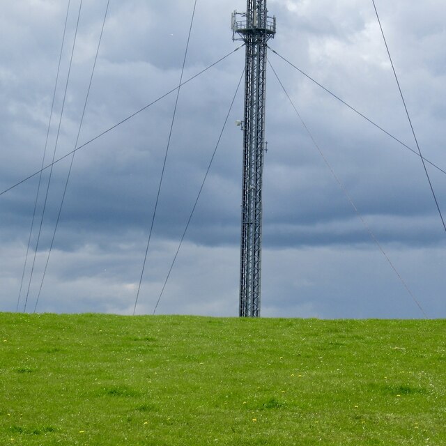
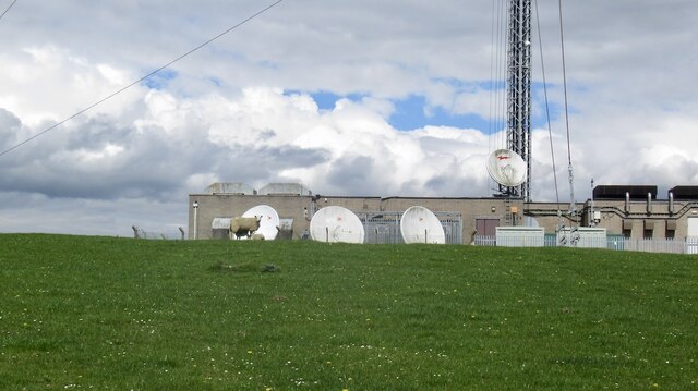
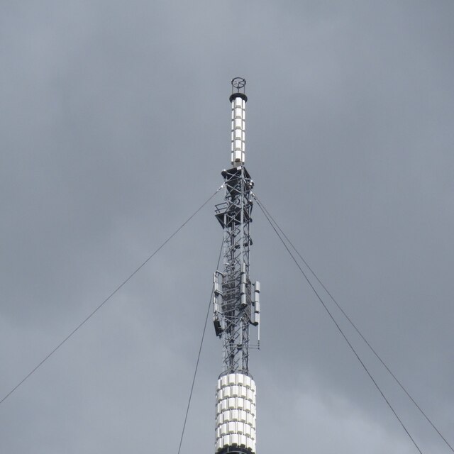
Selkirk transmitting station
The Selkirk transmitting station is a telecommunications facility located next to Lindean Loch, near Selkirk in the Scottish Borders. It includes a 229...
Selkirk High School
Selkirk High School is a high school in Selkirk, Scotland, which serves the town and its surrounding area including the Ettrick and Yarrow valleys and...

Lindean
Lindean is a village north of Selkirk and the Ettrick Water, in the Scottish Borders area of Scotland. In 1590 the parishioners of Lindean had permission...

Selkirk, Scottish Borders
Selkirk is a town and historic royal burgh in the Scottish Borders council district of southeastern Scotland. It lies on the Ettrick Water, a tributary...

Selkirk Town House
Selkirk Town House is a municipal building in the Market Place, Selkirk, Scottish Borders, Scotland. The structure, which is used as a local history museum...

County Buildings, Selkirk
County Buildings is a municipal structure in Ettrick Terrace, Selkirk, Scottish Borders, Scotland. The complex, which was the headquarters of Selkirkshire...
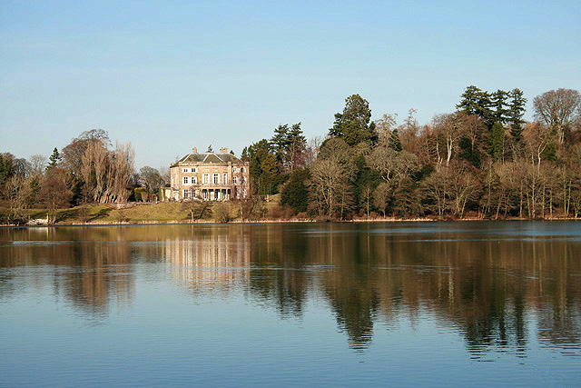
The Haining
The Haining is a country house and estate in Selkirk in the Scottish Borders. The present house dates from the 1790s, and was a property of the Pringle...
Nearby Amenities
Located within 500m of 55.552016,-2.8099471Have you been to Greenhead?
Leave your review of Greenhead below (or comments, questions and feedback).