Corn Hill
Hill, Mountain in Roxburghshire
Scotland
Corn Hill
Corn Hill is a prominent hill located in Roxburghshire, Scotland. Standing at an impressive height of 573 meters (1,880 feet), it is renowned for its unique natural beauty and captivating landscape. Situated within the Cheviot Hills range, Corn Hill offers breathtaking panoramic views of the surrounding countryside, making it a popular destination for hikers, nature enthusiasts, and photographers alike.
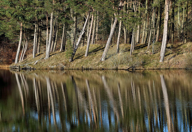
The hill is characterized by its distinctive conical shape and is covered in a patchwork of heather, grasses, and scattered rocks. Its slopes are moderately steep, presenting a moderate challenge for climbers and walkers seeking an invigorating outdoor experience. The summit rewards visitors with a picturesque vista that spans across the Scottish borders, including the stunning Cheviot Hills and the rolling countryside of Roxburghshire.
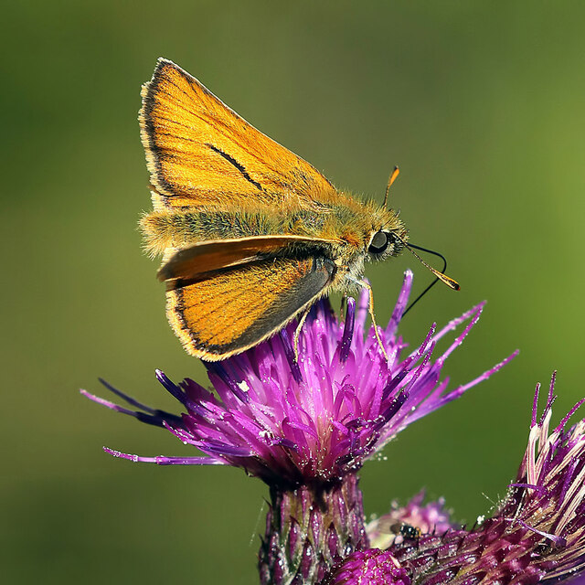
Corn Hill boasts a rich history, with evidence of Iron Age settlements and ancient burial sites scattered throughout the region. The hill has also been associated with various legends and folklore, adding an air of mystery to its allure. Its diverse wildlife includes a range of bird species, such as peregrine falcons and ravens, as well as occasional sightings of red deer and mountain hares.
Access to Corn Hill is facilitated by a network of well-maintained trails, ensuring visitors can explore its beauty in a safe and enjoyable manner. The hill is located in close proximity to the village of Town Yetholm, providing easy access to amenities and accommodations for those wishing to stay in the area.
In summary, Corn Hill in Roxburghshire is a captivating hill that offers a rewarding outdoor experience. Its stunning natural beauty, panoramic views, and rich history make it a must-visit destination for nature lovers and explorers seeking an escape into the Scottish countryside.
If you have any feedback on the listing, please let us know in the comments section below.
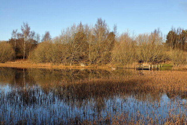
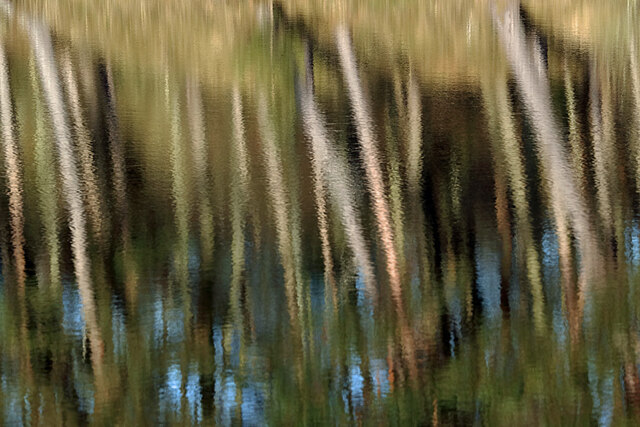
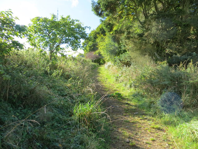
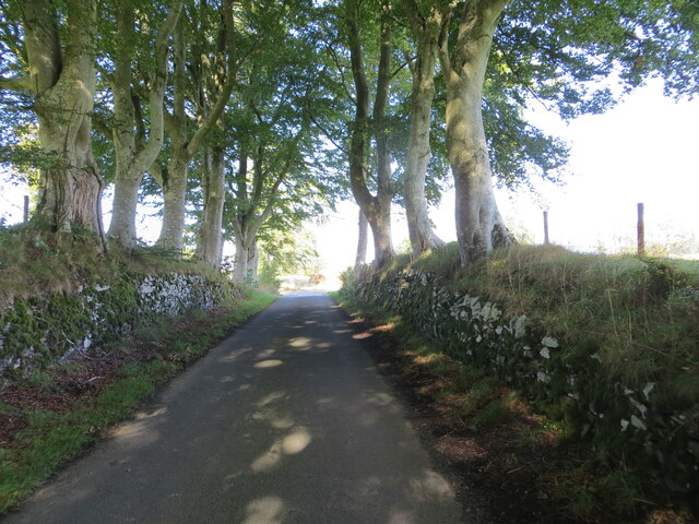
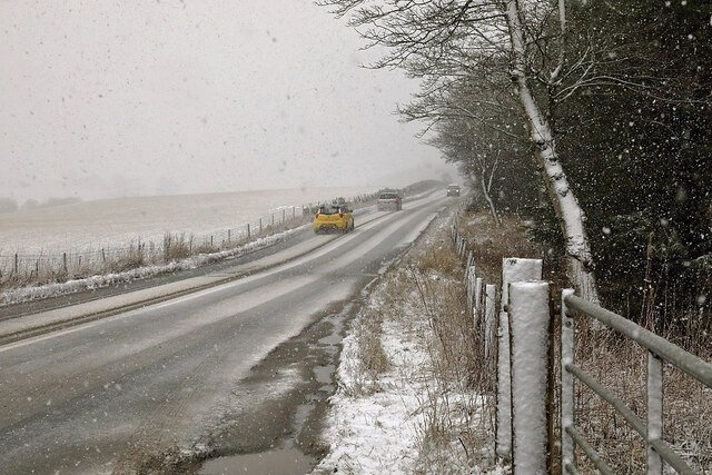
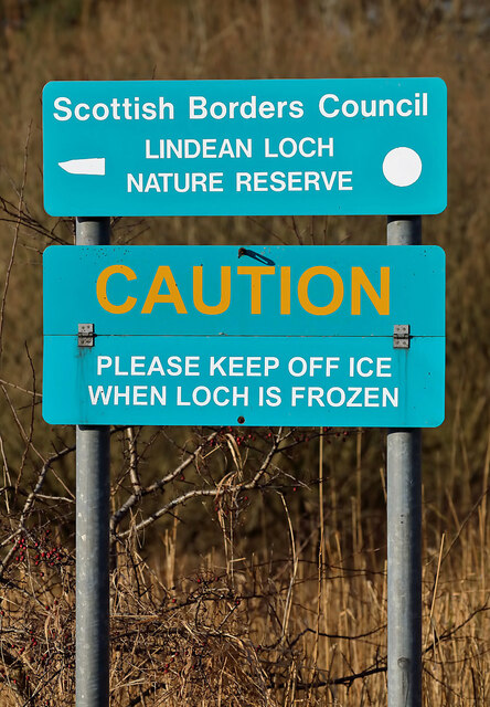
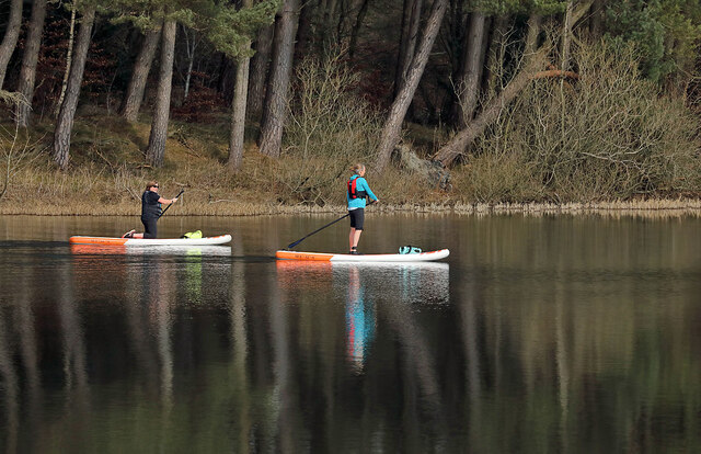
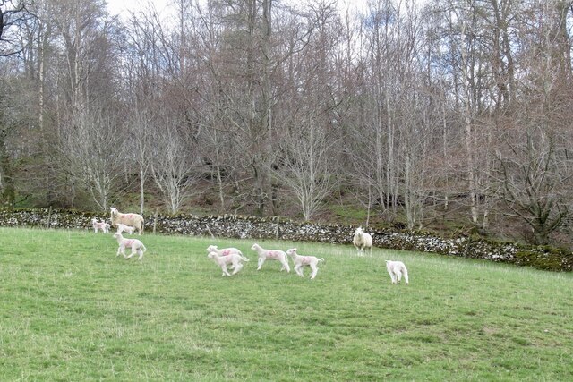
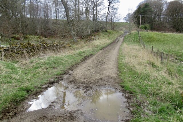
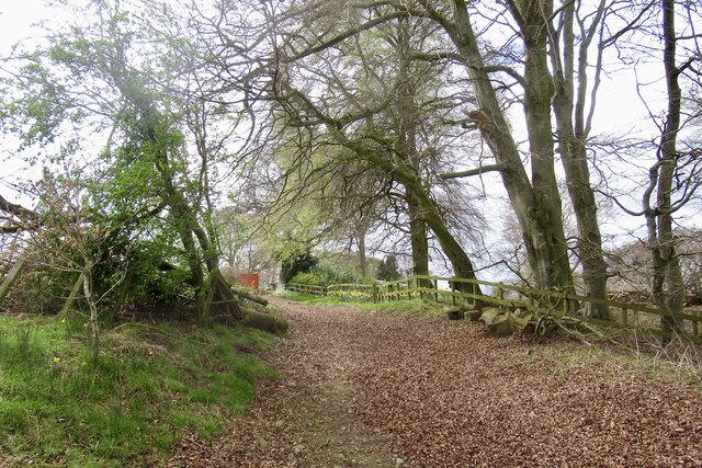
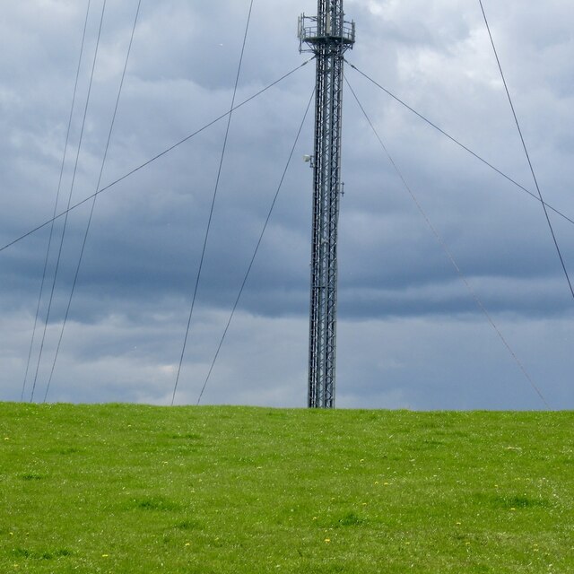
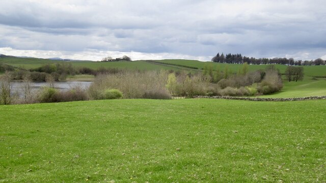
Corn Hill Images
Images are sourced within 2km of 55.55662/-2.8026384 or Grid Reference NT4929. Thanks to Geograph Open Source API. All images are credited.
Corn Hill is located at Grid Ref: NT4929 (Lat: 55.55662, Lng: -2.8026384)
Unitary Authority: The Scottish Borders
Police Authority: The Lothians and Scottish Borders
What 3 Words
///crowned.corrosive.puts. Near Selkirk, Scottish Borders
Nearby Locations
Related Wikis

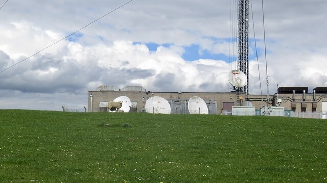
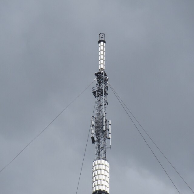
Selkirk transmitting station
The Selkirk transmitting station is a telecommunications facility located next to Lindean Loch, near Selkirk in the Scottish Borders. It includes a 229...

Lindean
Lindean is a village north of Selkirk and the Ettrick Water, in the Scottish Borders area of Scotland. In 1590 the parishioners of Lindean had permission...
Bridgelands
Bridgelands is a village and an 18th-century house in the Scottish Borders area of Scotland, in the parish of Selkirk. Sir Henry Raeburn's wife came from...
Lindean railway station
Lindean railway station served the village of Lindean, Scottish Borders, Scotland, from 1856 to 1964 on the Selkirk and Galashiels Railway. == History... ==
Selkirk High School
Selkirk High School is a high school in Selkirk, Scotland, which serves the town and its surrounding area including the Ettrick and Yarrow valleys and...

Selkirk, Scottish Borders
Selkirk is a town and historic royal burgh in the Scottish Borders council district of southeastern Scotland. It lies on the Ettrick Water, a tributary...

Boleside
Boleside is a village in the Scottish Borders area of Scotland, on the B7060, south of Galashiels. It is very close to the place where the Ettrick Water...

Selkirk Town House
Selkirk Town House is a municipal building in the Market Place, Selkirk, Scottish Borders, Scotland. The structure, which is used as a local history museum...
Nearby Amenities
Located within 500m of 55.55662,-2.8026384Have you been to Corn Hill?
Leave your review of Corn Hill below (or comments, questions and feedback).