Greenhead
Settlement in Northumberland
England
Greenhead
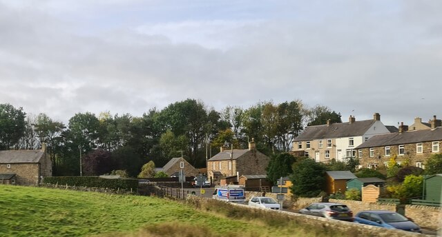
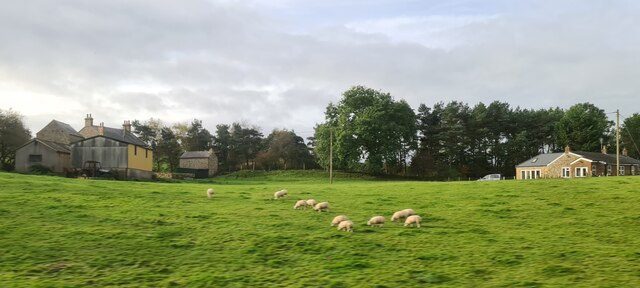
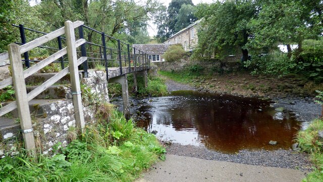
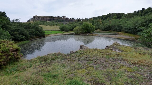
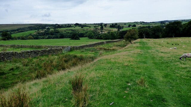
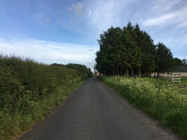
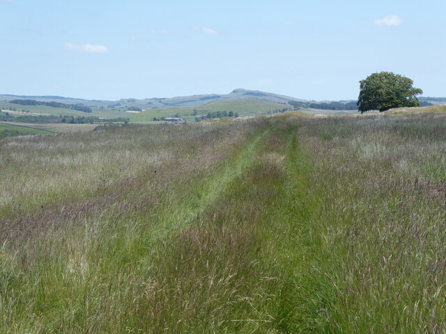
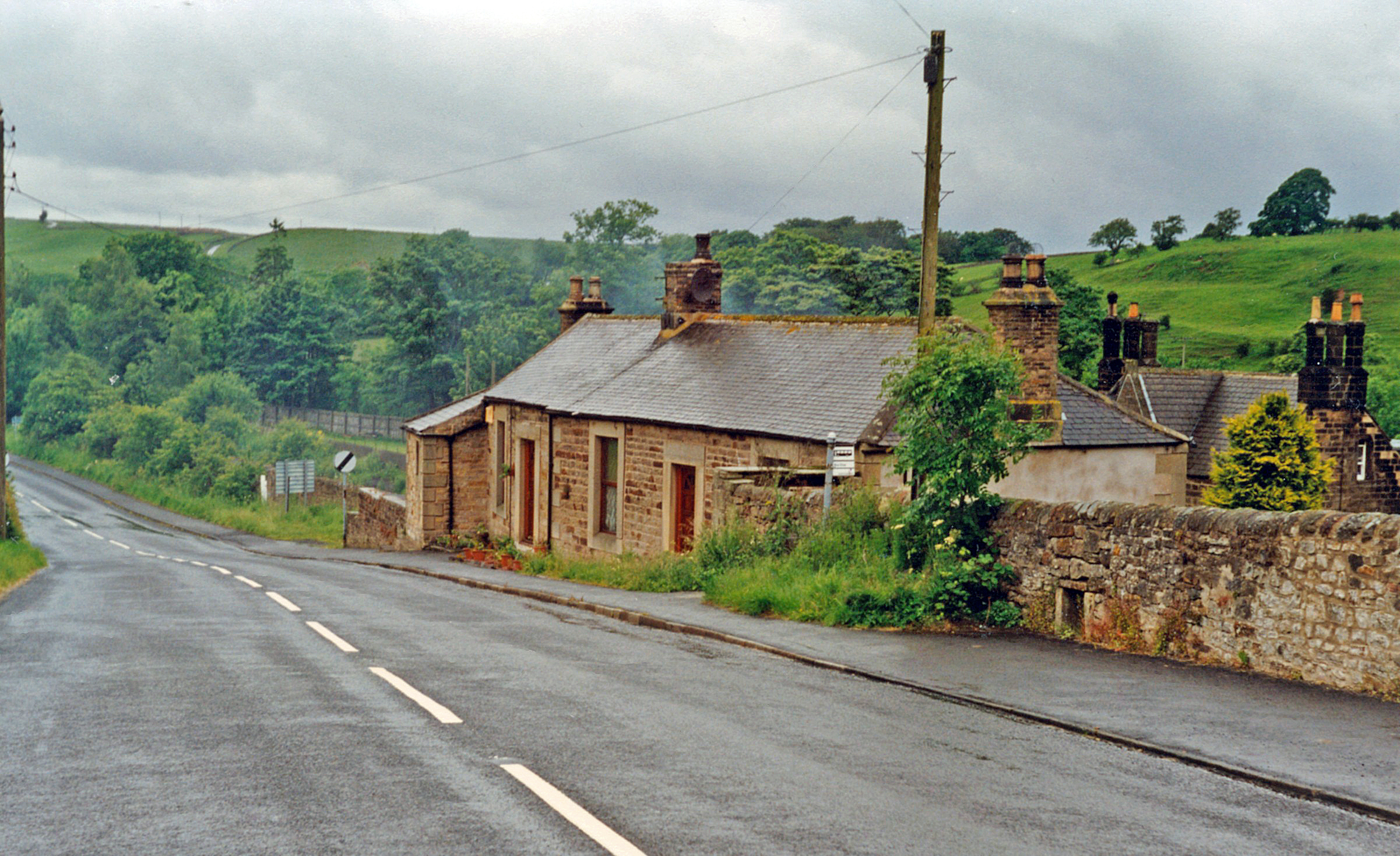
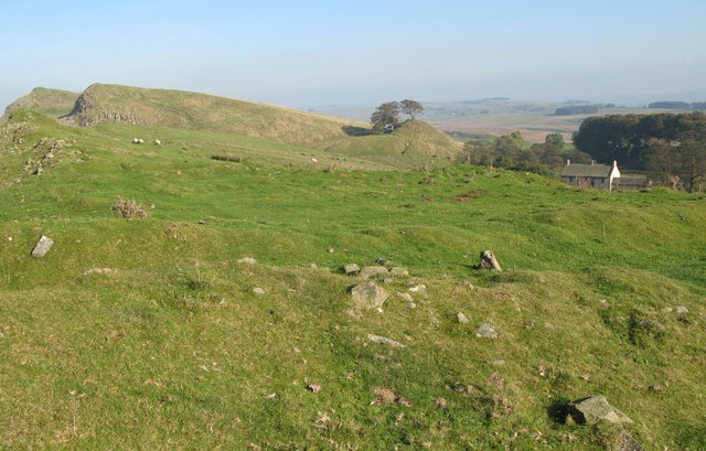
Greenhead is a small village located in Northumberland, England. It lies approximately 20 miles east of Carlisle and 4 miles west of Haltwhistle. Situated on the eastern edge of the North Pennines Area of Outstanding Natural Beauty, Greenhead is surrounded by breathtaking countryside and offers a picturesque setting for visitors.
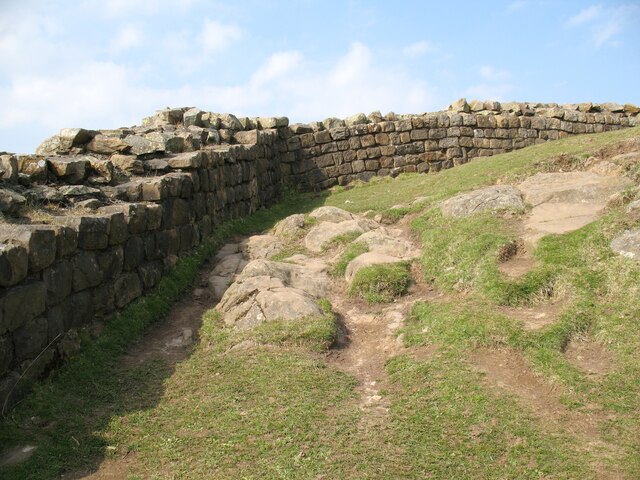
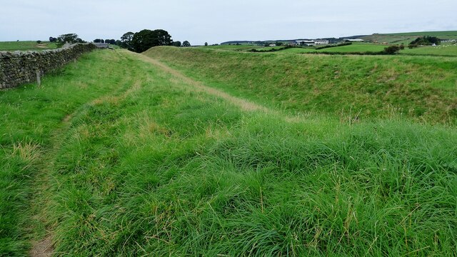
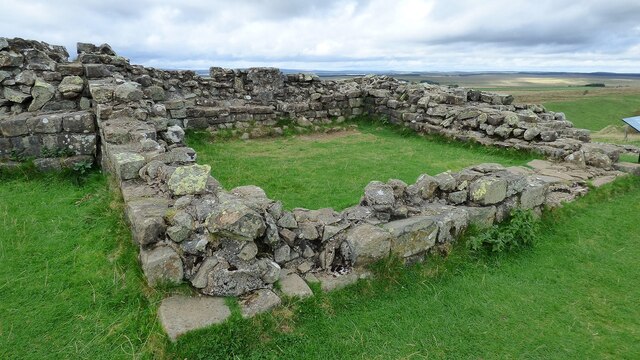
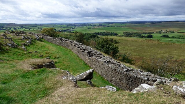
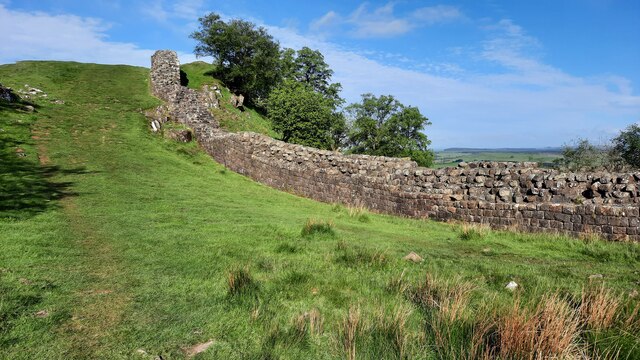
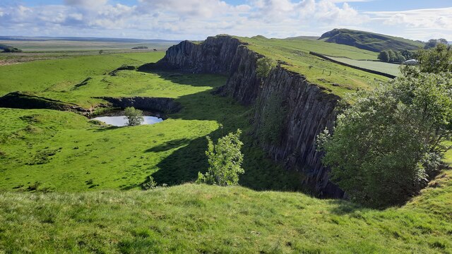
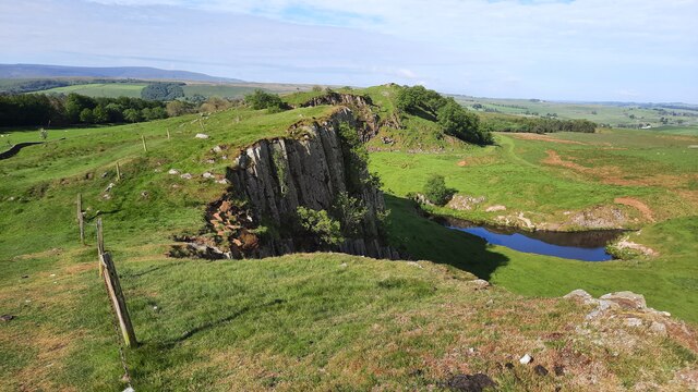
The village is best known for its close proximity to two significant historical landmarks, Hadrian's Wall and the Roman Army Museum. Hadrian's Wall, a UNESCO World Heritage Site, runs through Greenhead, offering visitors the opportunity to explore and learn about the Roman Empire's northern frontier. The Roman Army Museum, located nearby, provides an immersive experience where visitors can discover the lives of Roman soldiers and witness their daily routines.
Greenhead itself is a charming rural community with a population of around 300 residents. It offers a range of amenities including a pub, a village hall, and a caravan park, catering to the needs of both locals and tourists. The village is also a popular starting point for hikers and walkers, as it provides easy access to several scenic trails, including the Pennine Way and the Hadrian's Wall Path.
In addition to its historical and natural attractions, Greenhead hosts various events throughout the year, such as the Greenhead Village Fair and the Greenhead Games, which showcase local traditions and offer entertainment for all ages.
Overall, Greenhead is a delightful village that seamlessly combines history, natural beauty, and community spirit, making it an ideal destination for those seeking a peaceful and enriching experience in Northumberland.
If you have any feedback on the listing, please let us know in the comments section below.
Greenhead Images
Images are sourced within 2km of 54.981998/-2.5344019 or Grid Reference NY6565. Thanks to Geograph Open Source API. All images are credited.
Greenhead is located at Grid Ref: NY6565 (Lat: 54.981998, Lng: -2.5344019)
Unitary Authority: Northumberland
Police Authority: Northumbria
What 3 Words
///stun.shut.probing. Near Greenhead, Northumberland
Nearby Locations
Related Wikis
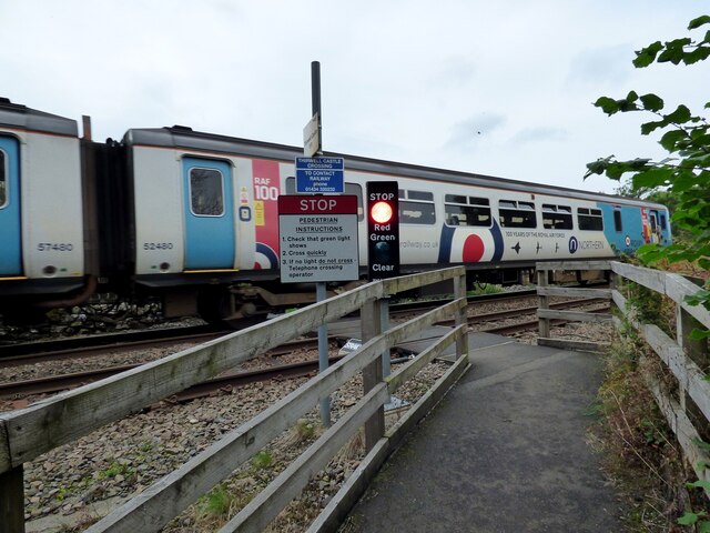
Greenhead railway station
Greenhead was a former railway station, which served the village of Greenhead, Northumberland in Northumberland between 1836 and 1967. == History == The...

Magnis (Carvoran)
Magnis or Magna was a Roman fort on Hadrian's Wall in northern Britain. Its ruins are now known as Carvoran Roman Fort and are located near Carvoran, Northumberland...

Greenhead, Northumberland
Greenhead is a village in Northumberland, England. The village is on the Military Road (B6318), about 17 miles (27 km) from Chollerford, 3 miles (5 km...
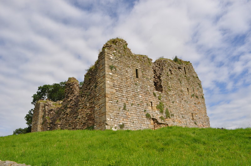
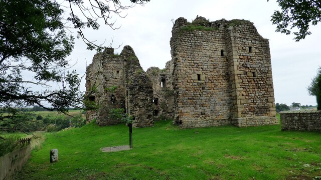
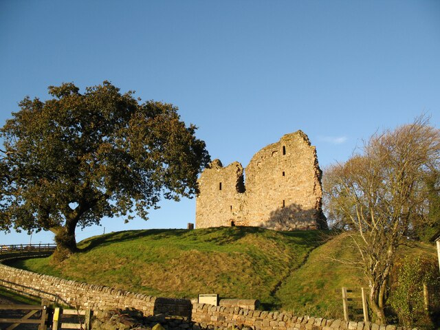
Thirlwall Castle
Thirlwall Castle is a 12th-century castle in Northumberland, England, on the bank of the River Tipalt close to the village of Greenhead and approximately...

Milecastle 46
Milecastle 46 (Carvoran) was a milecastle on Hadrian's Wall (grid reference NY66466601). == Description == Milecastle 46 is just west of the Vallum deviation...

Blenkinsopp Castle
Blenkinsopp Castle (spelled Blenkinsop in many records) is a fire-damaged, partly demolished 19th-century country mansion, incorporating the ruinous remains...

Milecastle 47
Milecastle 47 (Chapel House) was a milecastle on Hadrian's Wall (grid reference NY64906607). == Description == Milecastle 47 is about 270 metres east of...
Milecastle 45
Milecastle 45 (Walltown) was a milecastle on Hadrian's Wall (grid reference NY67716657). == Description == Milecastle 45 is on the top of Walltown Crags...
Nearby Amenities
Located within 500m of 54.981998,-2.5344019Have you been to Greenhead?
Leave your review of Greenhead below (or comments, questions and feedback).