Greenhead

Settlement in Staffordshire Staffordshire Moorlands

England

Greenhead

Large Pond at Consall Woods Nature Reserve Consall Woods is an RSPB Nature Reserve in Staffordshire. 194ha in area, the site was formally an industrial valley, now occupied by mixed woodland and various water features. Link to RSPB website: <span class="nowrap"><a title="https://www.rspb.org.uk/reserves-and-events/reserves-a-z/consall-woods/" rel="nofollow ugc noopener" href="https://www.rspb.org.uk/reserves-and-events/reserves-a-z/consall-woods/">Link</a><img style="margin-left:2px;" alt="External link" title="External link - shift click to open in new window" src="https://s1.geograph.org.uk/img/external.png" width="10" height="10"/></span>
Large Pond at Consall Woods Nature Reserve Credit: Philip Cornwall

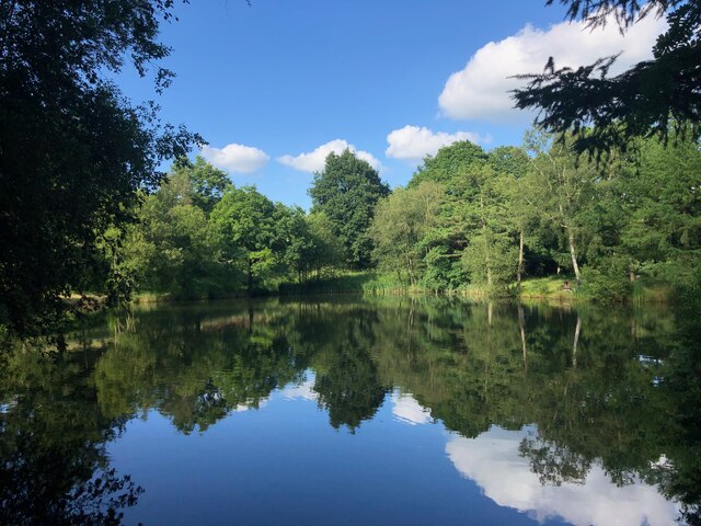
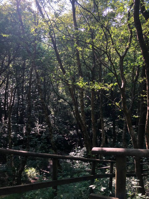
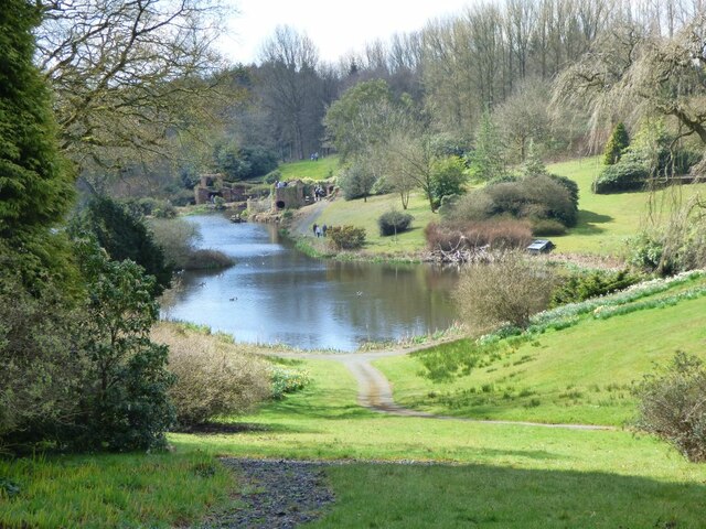
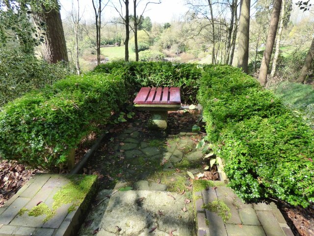
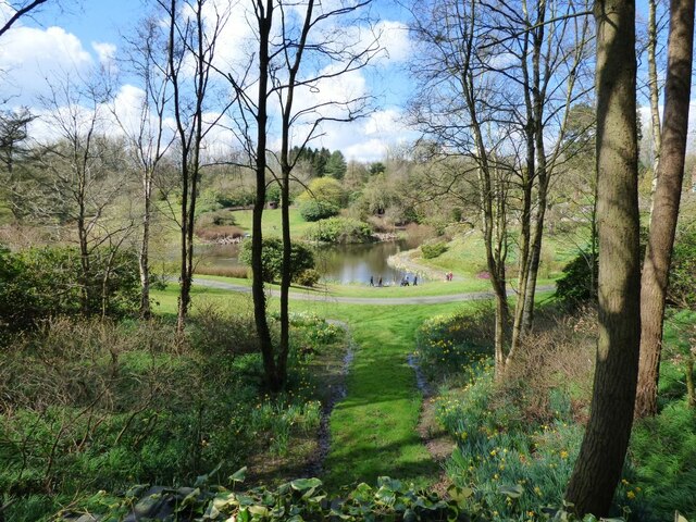
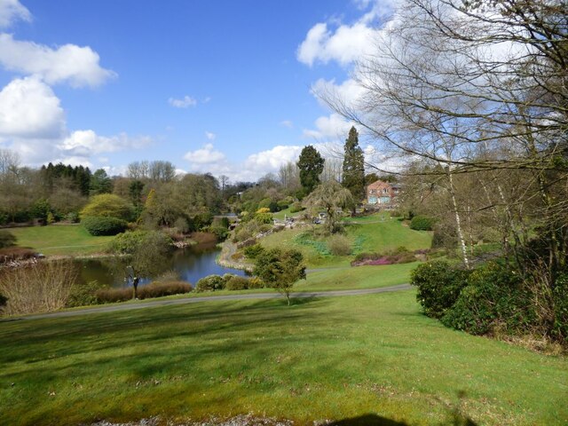
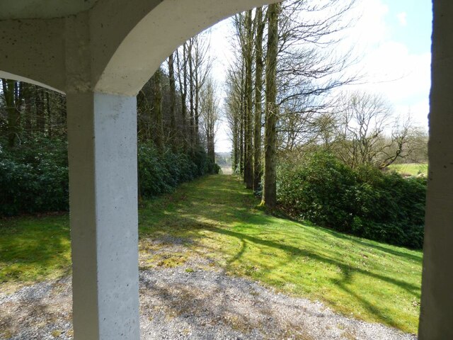
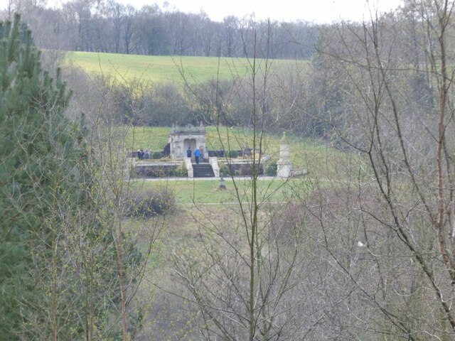
Greenhead is a small village located in the county of Staffordshire, England. Situated in the West Midlands region, it lies approximately 4 miles northwest of the town of Leek and 11 miles southeast of Stoke-on-Trent. The village is nestled in the picturesque countryside, surrounded by rolling hills and fields, offering residents and visitors a peaceful and idyllic setting.

Greenhead is predominantly a residential area with a close-knit community. The village consists of a mix of traditional stone-built houses, cottages, and more modern properties. The population is relatively small, with around 500 residents.

Despite its small size, Greenhead boasts a few amenities to cater to the needs of the community. These include a village hall, which serves as a hub for various social events and gatherings, and a local pub offering a friendly atmosphere and a chance to unwind.

The village is well-connected to the surrounding areas by road, with the A53 running close by, providing easy access to nearby towns and cities. Additionally, Greenhead benefits from its proximity to the Peak District National Park, offering residents and visitors ample opportunities for outdoor activities such as hiking, cycling, and exploring the beautiful landscapes.

In summary, Greenhead is a quaint and peaceful village in Staffordshire, known for its picturesque countryside, close community, and convenient location. It offers a charming place to call home for those seeking a tranquil rural lifestyle.

If you have any feedback on the listing, please let us know in the comments section below.
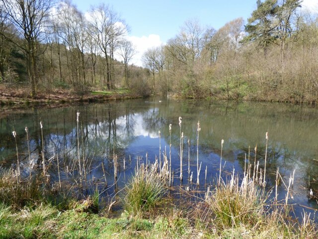
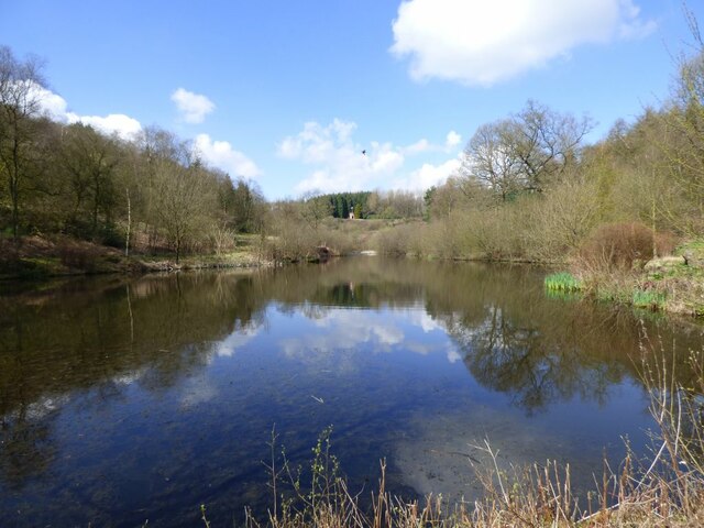
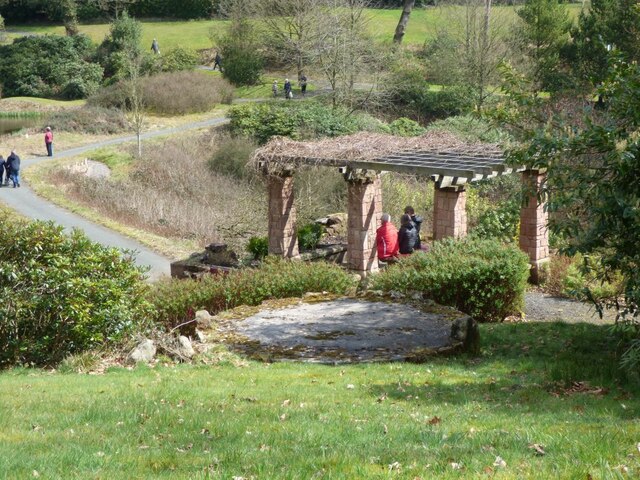
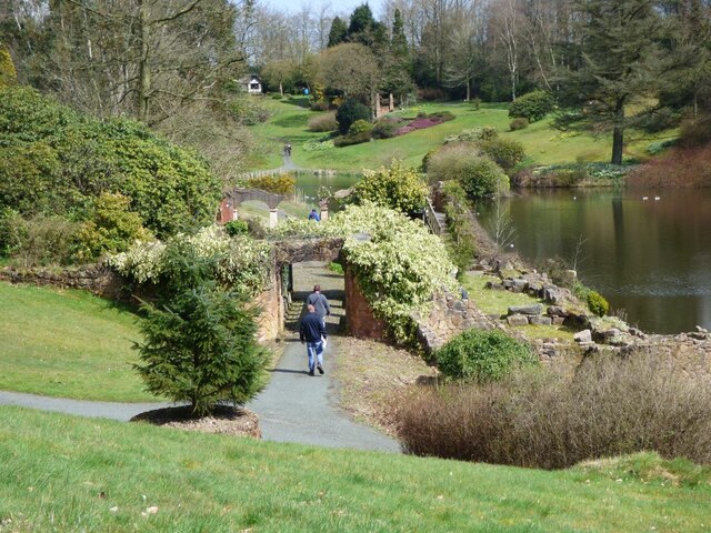
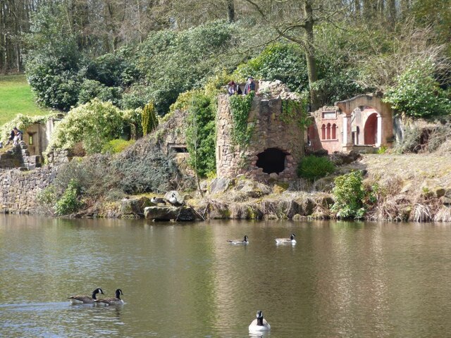
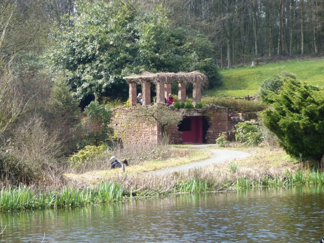
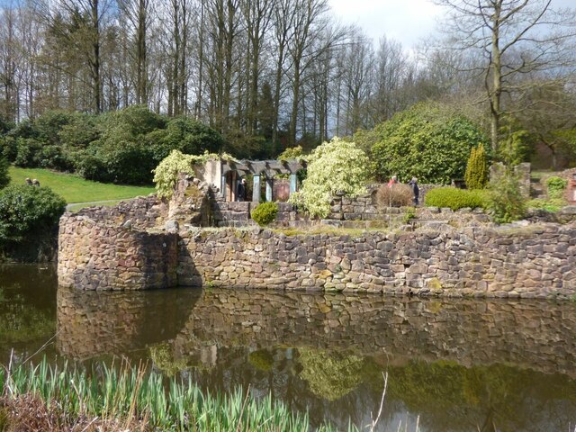
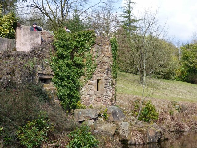
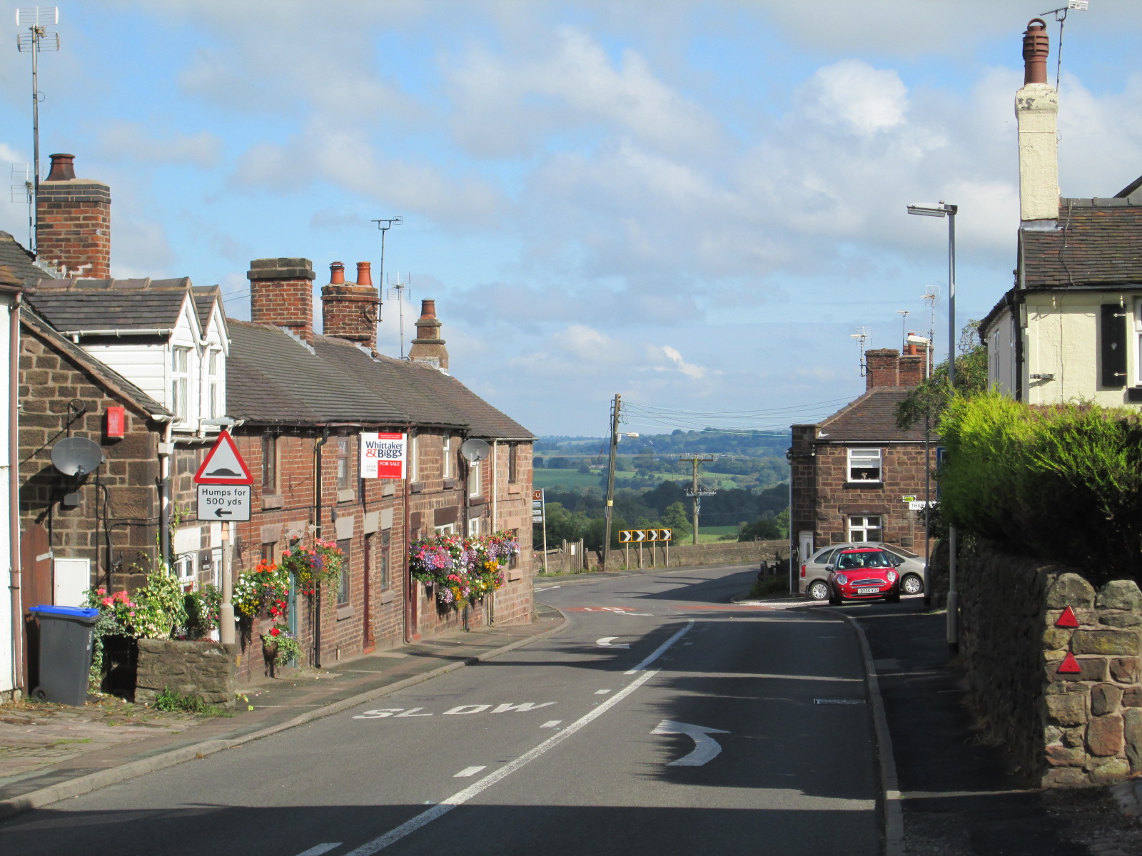
Greenhead Images

Images are sourced within 2km of 53.017669/-2.024862 or Grid Reference SJ9846. Thanks to Geograph Open Source API. All images are credited.

Large Pond at Consall Woods Nature Reserve Consall Woods is an RSPB Nature Reserve in Staffordshire. 194ha in area, the site was formally an industrial valley, now occupied by mixed woodland and various water features. Link to RSPB website: <span class="nowrap"><a title="https://www.rspb.org.uk/reserves-and-events/reserves-a-z/consall-woods/" rel="nofollow ugc noopener" href="https://www.rspb.org.uk/reserves-and-events/reserves-a-z/consall-woods/">Link</a><img style="margin-left:2px;" alt="External link" title="External link - shift click to open in new window" src="https://s1.geograph.org.uk/img/external.png" width="10" height="10"/></span>
Large Pond at Consall Woods Nature Reserve
Consall Woods is an RSPB Nature Reserve in Staffordshire. 194ha in area, the site was formally an industrial valley, now occupied by mixed woodland and various water features. Link to RSPB website: LinkExternal link
Consall Woods Consall Woods is an RSPB Nature Reserve in Staffordshire. 194ha in area, the site was formally an industrial valley, now occupied by mixed woodland and various water features. Link to RSPB website: <span class="nowrap"><a title="https://www.rspb.org.uk/reserves-and-events/reserves-a-z/consall-woods/" rel="nofollow ugc noopener" href="https://www.rspb.org.uk/reserves-and-events/reserves-a-z/consall-woods/">Link</a><img style="margin-left:2px;" alt="External link" title="External link - shift click to open in new window" src="https://s1.geograph.org.uk/img/external.png" width="10" height="10"/></span>
Consall Woods
Consall Woods is an RSPB Nature Reserve in Staffordshire. 194ha in area, the site was formally an industrial valley, now occupied by mixed woodland and various water features. Link to RSPB website: LinkExternal link
View down one of the lakes at Consall Hall Taken from the steps out of the garden area down to the lake.
View down one of the lakes at Consall Hall
Taken from the steps out of the garden area down to the lake.
Small seating area The seat has a panoramic view over the estate.
Small seating area
The seat has a panoramic view over the estate.
View of one of the lakes from a sitting area Panoramic view of one of the lakes.
View of one of the lakes from a sitting area
Panoramic view of one of the lakes.
The Hall and the lake Panoramic view of the Hall at the top of this lake.
The Hall and the lake
Panoramic view of the Hall at the top of this lake.
View from inside the octagonal Summer house Looking along an avenue of trees.
View from inside the octagonal Summer house
Looking along an avenue of trees.
Distant view of one of the follies at Consall The owner bought many buildings  from various places and had them re-erected on the estate.
Distant view of one of the follies at Consall
The owner bought many buildings from various places and had them re-erected on the estate.
One of the lakes at Consall Hall There are six lakes in the grounds.
One of the lakes at Consall Hall
There are six lakes in the grounds.
Across the lake to the Viewing tower On one of the high points of the estate is a viewing tower.
Across the lake to the Viewing tower
On one of the high points of the estate is a viewing tower.
Tussilago farfara, Coltsfoot Coltsfoot, is a plant in the groundsel tribe in the daisy family. It was used to get rid if coughs.
Tussilago farfara, Coltsfoot
Coltsfoot, is a plant in the groundsel tribe in the daisy family. It was used to get rid if coughs.
Detail of one of the Follies at Consall Hall The owner bought and had re-erected various buildings from elsewhere.
Detail of one of the Follies at Consall Hall
The owner bought and had re-erected various buildings from elsewhere.
Folly at Consall Hall Brick built piers with a timber roof.
Folly at Consall Hall
Brick built piers with a timber roof.
Folly next to the lake at Consall Hall Looking back along the lake towards the Hall.
Folly next to the lake at Consall Hall
Looking back along the lake towards the Hall.
Follies at Consall Hall Viewed from across the lake.
Follies at Consall Hall
Viewed from across the lake.
Part of the Follies on the side of the lake At Consall Hall The red doors look very much like they belong on a garage.
Part of the Follies on the side of the lake At Consall Hall
The red doors look very much like they belong on a garage.
Folly next to the lake at Consall Hall This was built to look like a ruined Castle wall.
Folly next to the lake at Consall Hall
This was built to look like a ruined Castle wall.
Folly next to the lake at Consall Hall There is a good viewing point from the top of the Folly, across the lake.
Folly next to the lake at Consall Hall
There is a good viewing point from the top of the Folly, across the lake.
Show me another place!

Greenhead is located at Grid Ref: SJ9846 (Lat: 53.017669, Lng: -2.024862)

Administrative County: Staffordshire

District: Staffordshire Moorlands

Police Authority: Staffordshire

What 3 Words

///screen.recorder.recruiter. Near Cheadle, Staffordshire

Related Wikis

Consall

Consall is a small village situated in the Staffordshire Moorlands, Staffordshire, England. It is approximately 6 miles south of the market town of Leek...

Dilhorne Park railway station

Dilhorne Park railway station is a heritage railway station in Staffordshire on the Foxfield Railway. The station is a halt set in woodland, and at 760...

Kingsley, Staffordshire

Kingsley is a small village in the Staffordshire Moorlands near to Cheadle, and situated on the A52 from Stoke on Trent to Ashbourne. The civil parish...
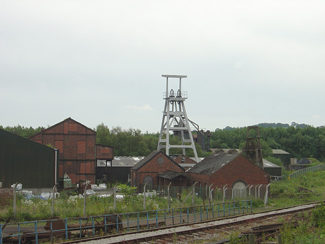
Cheadle Coalfield

The Cheadle Coalfield is a coalfield in the United Kingdom. Centred on the town of Cheadle, Staffordshire and its outlying villages it lies to the east...

Consall railway station

Consall railway station is a former passenger railway station of the North Staffordshire Railway (NSR) and is now a preserved station on the Churnet Valley...

Wetley Rocks

Wetley Rocks is a village in Staffordshire, England, about 2 miles (3.2 km) south of Cheddleton and 6 miles (9.7 km) south of Leek. For population details...

Moorside High School, Werrington

Moorside High School is a coeducational secondary school located in Werrington, Staffordshire. == History == The school was opened in 1939 under the name...

Dilhorne

Dilhorne is an ancient parish and village in Staffordshire, three miles from Cheadle and six miles from Stoke-on-Trent. The village is within the Staffordshire...

Nearby Amenities

Located within 500m of 53.017669,-2.024862
Bus Stop
Waggon & Horses PH
Bus: yes
Naptan AtcoCode: 3800C808800
Naptan Bearing: E
Naptan CommonName: Waggon & Horses PH
Naptan Indicator: Opp
Naptan Landmark: Waggon&Horses PH
Naptan PlusbusZoneRef: STOKEOT
Naptan Street: Kingsley Rd
Naptan Verified: no
Public Transport: platform
Source: naptan_import
Lat/Long: 53.0155584/-2.0200622
Bus Stop
Wagon & Horses PH
Bus: yes
Naptan AtcoCode: 3800C808801
Naptan Bearing: W
Naptan CommonName: Wagon & Horses PH
Naptan Indicator: Adj
Naptan Landmark: Wagon & Horses PH
Naptan PlusbusZoneRef: STOKEOT
Naptan Street: Kingsley Road
Naptan Verified: no
Public Transport: platform
Source: naptan_import
Lat/Long: 53.0155152/-2.0204599
Bus Stop
Greenhead
Bus: yes
Naptan AtcoCode: 3800C838501
Naptan Bearing: SE
Naptan CommonName: Greenhead
Naptan Indicator: Adj
Naptan Landmark: Greenhead
Naptan PlusbusZoneRef: STOKEOT
Naptan Street: Kingsley Road (A52)
Naptan Verified: no
Public Transport: platform
Shelter: yes
Source: naptan_import
Lat/Long: 53.0183692/-2.0266987
Power: pole
Lat/Long: 53.0134278/-2.0268568
Power: pole
Lat/Long: 53.0135778/-2.0258135
Power: pole
Lat/Long: 53.0138231/-2.0242444
Power: pole
Lat/Long: 53.0136375/-2.0222247
Bus Stop
Greenhead
Bus: yes
Naptan AtcoCode: 3800C838500
Naptan Bearing: NW
Naptan CommonName: Greenhead
Naptan Indicator: Opp
Naptan PlusbusZoneRef: STOKEOT
Naptan Street: Kinglsey Road
Naptan Verified: no
Public Transport: platform
Source: naptan_import
Lat/Long: 53.017894/-2.0260183
Barrier: stile
Lat/Long: 53.0179564/-2.0261809
Direction: 135
Lit: yes
Maxspeed: 40 mph
Traffic Sign: maxspeed
Lat/Long: 53.0171035/-2.0248048
Direction: 135
Lit: yes
Maxspeed: 40 mph
Traffic Sign: maxspeed
Lat/Long: 53.0170411/-2.024928
Direction: 315
Lit: yes
Maxspeed: 50 mph
Traffic Sign: maxspeed
Lat/Long: 53.0171099/-2.0248156
Direction: 315
Lit: yes
Maxspeed: 50 mph
Traffic Sign: maxspeed
Lat/Long: 53.017047/-2.0249378
Direction: both
Maxspeed: 50 mph
Traffic Sign: maxspeed
Lat/Long: 53.0155776/-2.0209735
The data included in this document is from www.openstreetmap.org. The data is made available under ODbL.

Have you been to Greenhead?

Leave your review of Greenhead below (or comments, questions and feedback).