Fountainhead Plantation

Wood, Forest in Roxburghshire

Scotland

Fountainhead Plantation

Bandstand in Wilton Lodge Park, Hawick A fine new bandstand built as part of the park renovation project.
Bandstand in Wilton Lodge Park, Hawick Credit: Jim Barton

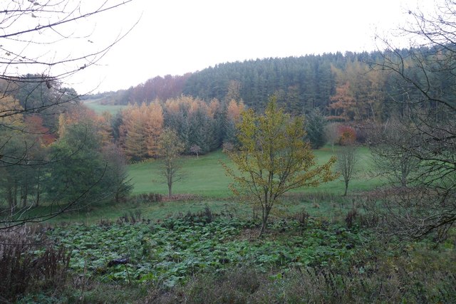
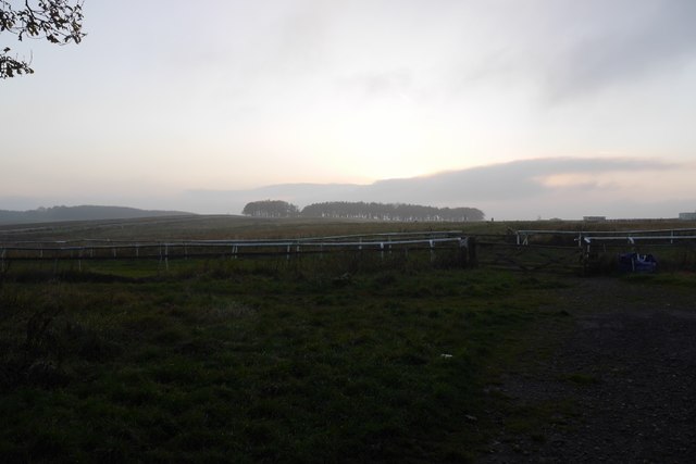
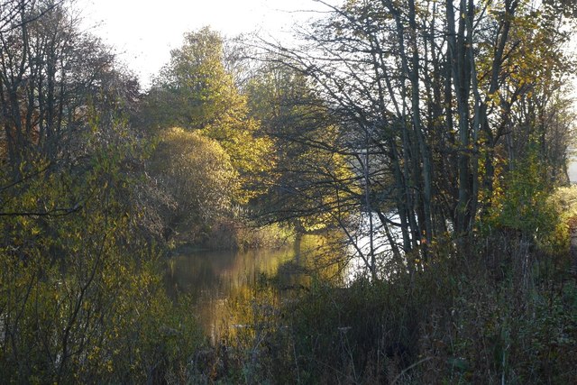
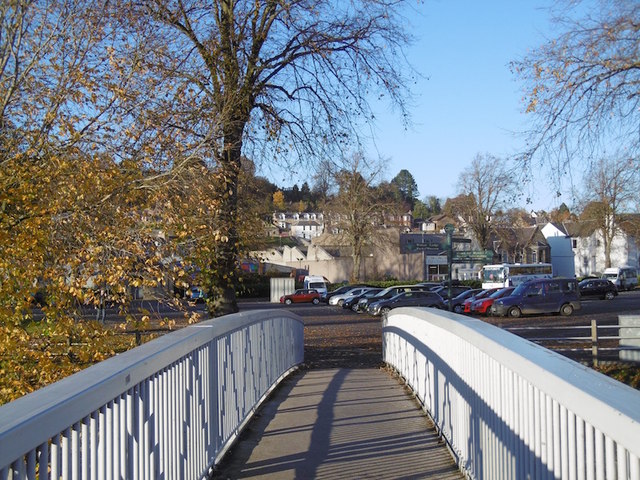
Fountainhead Plantation is a sprawling woodland estate located in Roxburghshire, a historic county in the Scottish Borders region. This enchanting woodland retreat spans over several hundred hectares and is renowned for its natural beauty and diverse flora and fauna.

The plantation is predominantly composed of a mix of native tree species, such as oak, beech, and birch, which create a lush and vibrant canopy. The woodlands provide a haven for wildlife, attracting a wide variety of bird species, including woodpeckers and owls, as well as mammals like red squirrels and deer. The estate is also home to a network of streams and small lakes, further enhancing its ecological diversity.

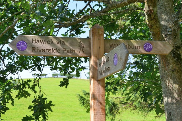
Visitors to Fountainhead Plantation can enjoy a range of outdoor activities, including hiking, nature walks, and wildlife spotting. There are well-maintained trails that meander through the woodland, offering picturesque views of the surrounding countryside. The plantation is also a popular destination for birdwatchers and photographers, who are drawn to the abundance of wildlife and scenic landscapes.

In addition to its natural attractions, Fountainhead Plantation boasts a rich cultural heritage. The estate is dotted with remnants of historical structures, including ancient stone walls and ruins of old cottages, providing a glimpse into the region's past.

Overall, Fountainhead Plantation in Roxburghshire is a captivating destination for those seeking tranquility, natural beauty, and a deep connection with Scotland's rich natural and cultural heritage.

If you have any feedback on the listing, please let us know in the comments section below.

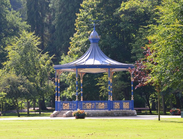
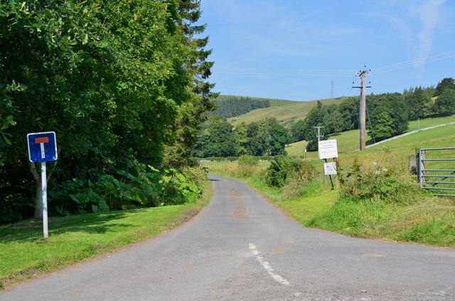
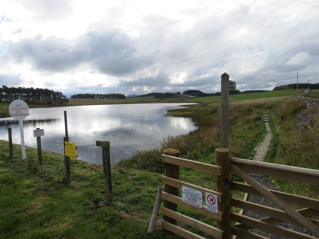
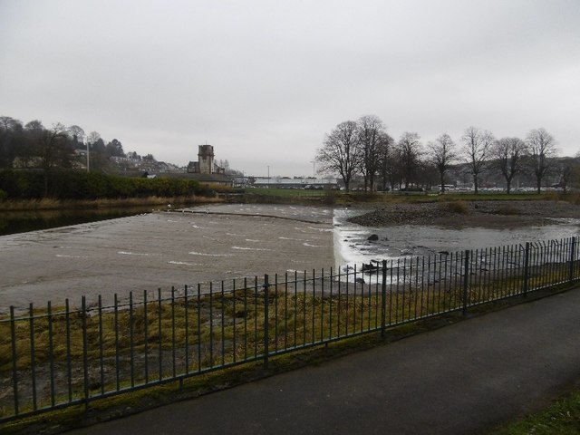
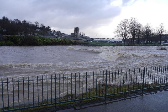
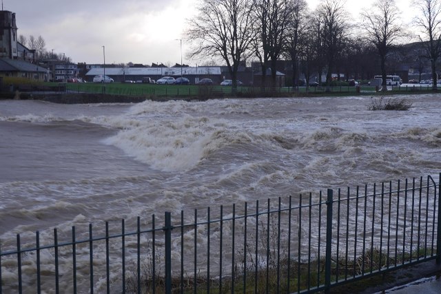
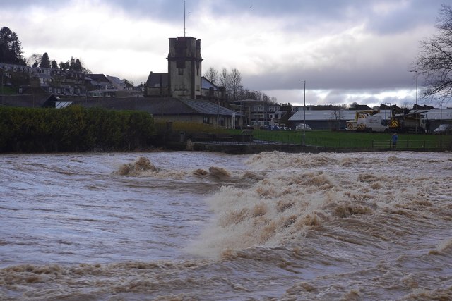
Fountainhead Plantation Images

Images are sourced within 2km of 55.407809/-2.8009608 or Grid Reference NT4912. Thanks to Geograph Open Source API. All images are credited.

Bandstand in Wilton Lodge Park, Hawick A fine new bandstand built as part of the park renovation project.
Bandstand in Wilton Lodge Park, Hawick
A fine new bandstand built as part of the park renovation project.
Lane to Wiltonburn farm Junction with the minor road to Wilton Dean. The sign advertises Country Cashmeres and Farmhouse B&B at Wiltonburn.
Lane to Wiltonburn farm
Junction with the minor road to Wilton Dean. The sign advertises Country Cashmeres and Farmhouse B&B at Wiltonburn.
Footpath signpost near Wilton Burn The purple badges mark the Romans and Reivers Route.
Footpath signpost near Wilton Burn
The purple badges mark the Romans and Reivers Route.
Woodland on Vertish Hill Looking over Hawick Golf Club's course towards Vertish Hill.
Woodland on Vertish Hill
Looking over Hawick Golf Club's course towards Vertish Hill.
St Leonard's Park The racecourse plays a big part in the Common Riding.
St Leonard's Park
The racecourse plays a big part in the Common Riding.
River Teviot Downstream of Martin's Bridge.
River Teviot
Downstream of Martin's Bridge.
River Teviot, Hawick Hawick High School on the left.
River Teviot, Hawick
Hawick High School on the left.
Common Haugh, Hawick The car park was empty as it was closed for line work.
Common Haugh, Hawick
The car park was empty as it was closed for line work.
Lawson Bridge, Hawick A little upstream of its predecessor, it is often used by Hawick High School pupils to get their buses on The Haugh.
Lawson Bridge, Hawick
A little upstream of its predecessor, it is often used by Hawick High School pupils to get their buses on The Haugh.
Ordnance Survey Flush Bracket 1491 This heavily over-painted bracket can be found on the wall of a private dwelling in Lynnwood.
For more detail see : <span class="nowrap"><a title="http://www.bench-marks.org.uk/bm1210" rel="nofollow ugc noopener" href="http://www.bench-marks.org.uk/bm1210">Link</a><img style="margin-left:2px;" alt="External link" title="External link - shift click to open in new window" src="https://s1.geograph.org.uk/img/external.png" width="10" height="10"/></span>
Ordnance Survey Flush Bracket 1491
This heavily over-painted bracket can be found on the wall of a private dwelling in Lynnwood. For more detail see : LinkExternal link
Ordnance Survey Fundamental Bench Mark - Hawick This can be found hidden in the grass on the roadside verge of the cross-roads near Nipknowes Quarry.
For more detail see : <span class="nowrap"><a title="http://www.bench-marks.org.uk/bm1079" rel="nofollow ugc noopener" href="http://www.bench-marks.org.uk/bm1079">Link</a><img style="margin-left:2px;" alt="External link" title="External link - shift click to open in new window" src="https://s1.geograph.org.uk/img/external.png" width="10" height="10"/></span>
Ordnance Survey Fundamental Bench Mark - Hawick
This can be found hidden in the grass on the roadside verge of the cross-roads near Nipknowes Quarry. For more detail see : LinkExternal link
Cross Roads near Nipknowes Quarry Looking westward.
Cross Roads near Nipknowes Quarry
Looking westward.
Ordnance Survey Flush Bracket G486 This can be found on the retaining wall of Branxholm Bridge.
For more detail see : <span class="nowrap"><a title="http://www.bench-marks.org.uk/bm20289" rel="nofollow ugc noopener" href="http://www.bench-marks.org.uk/bm20289">Link</a><img style="margin-left:2px;" alt="External link" title="External link - shift click to open in new window" src="https://s1.geograph.org.uk/img/external.png" width="10" height="10"/></span>
Ordnance Survey Flush Bracket G486
This can be found on the retaining wall of Branxholm Bridge. For more detail see : LinkExternal link
Williestruther Loch Looking south-westward.
Williestruther Loch
Looking south-westward.
Cauld, Hawick The River Teviot in a relatively benign mood. Note the big shingle bank beneath the cauld.
Cauld, Hawick
The River Teviot in a relatively benign mood. Note the big shingle bank beneath the cauld.
Cauld, Hawick The weir upstream of the town during a spate. All footbridges were closed at the time.
Cauld, Hawick
The weir upstream of the town during a spate. All footbridges were closed at the time.
Teviot in spate After some hours of heavy rain.
Teviot in spate
After some hours of heavy rain.
Cauld, Hawick The Teviot shortly after it flooded the Common Haugh.
Cauld, Hawick
The Teviot shortly after it flooded the Common Haugh.
Show me another place!

Fountainhead Plantation is located at Grid Ref: NT4912 (Lat: 55.407809, Lng: -2.8009608)

Unitary Authority: The Scottish Borders

Police Authority: The Lothians and Scottish Borders

What 3 Words

///drew.thrones.escapades. Near Hawick, Scottish Borders

Related Wikis

Hawick Cottage Hospital

Hawick Cottage Hospital was a health facility at Buccleuch Road in Hawick, Scotland. It was managed by NHS Borders. It is a Category B listed building...
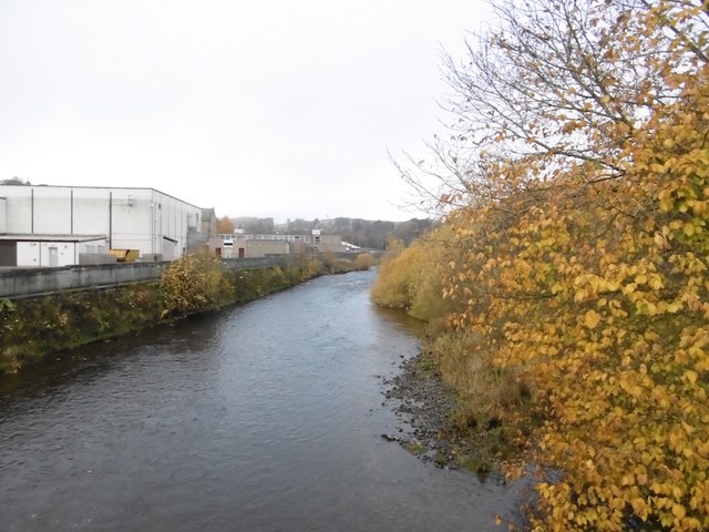
Slitrig Water

Slitrig Water (archaic Scots: Slitterick Waiter; current Southern Scots: Slitrig Witter), also known as the River Slitrig, is a river in the Scottish Borders...

Hawick High School

Hawick High School is a non-denominational secondary school in Hawick, in the Scottish Borders. As well as serving the town, it also takes in pupils from...

Hawick Community Hospital

Hawick Community Hospital is a health facility at Victoria Road in Hawick, Scotland. It is managed by NHS Borders. == History == The hospital was commissioned...

Nearby Amenities

Located within 500m of 55.407809,-2.8009608
Vertish Hill
Natural: peak
Lat/Long: 55.4054471/-2.7973925
Power: pole
Lat/Long: 55.4116562/-2.8045232
Power: pole
Lat/Long: 55.4108522/-2.8007467
Power: pole
Lat/Long: 55.4113882/-2.8033001
Power: pole
Lat/Long: 55.4110685/-2.8018571
Restaurant
Hawick Golf Club Bar & Restaurant
Website: http://www.hawickgolfclub.com/page.aspx?pid=58976
Lat/Long: 55.4118984/-2.7998132
Greer Exporting Co Ltd
Addr City: Hawick
Addr Housename: PO Box 13337
Addr Postcode: TD9 1AD
Company: distribution
Office: company
Lat/Long: 55.4119738/-2.7999652
Outdoor Patio, Hawick Golf Club
Leisure: outdoor_seating
Lat/Long: 55.4120141/-2.8001845
Power: pole
Lat/Long: 55.4114568/-2.8018763
Power: pole
Lat/Long: 55.4116981/-2.8011357
The data included in this document is from www.openstreetmap.org. The data is made available under ODbL.

Have you been to Fountainhead Plantation?

Leave your review of Fountainhead Plantation below (or comments, questions and feedback).