West Moor Plantation
Wood, Forest in Roxburghshire
Scotland
West Moor Plantation
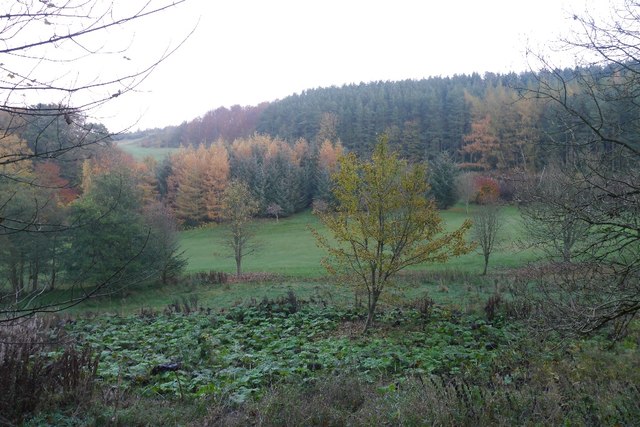
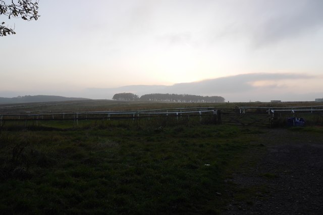
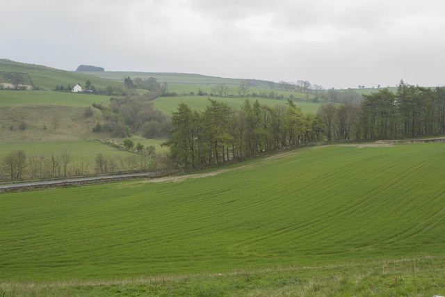
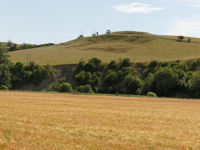
West Moor Plantation is a sprawling woodland estate located in the picturesque region of Roxburghshire in Scotland. Covering an area of approximately 500 hectares, the plantation is renowned for its diverse and well-preserved woodlands.
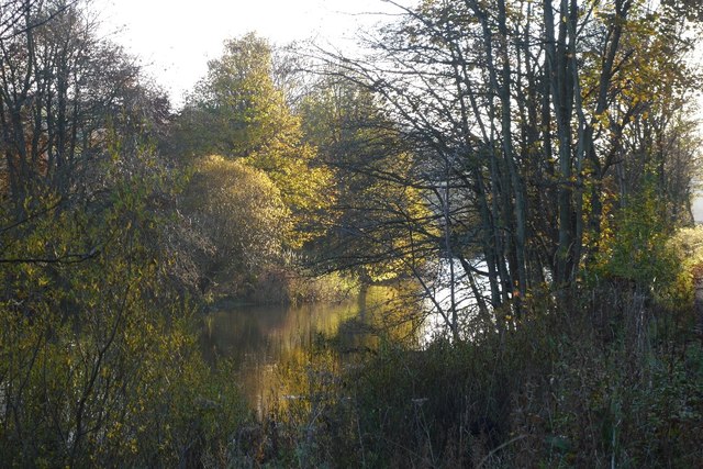
The plantation primarily consists of native tree species, including Scots pine, oak, birch, and beech, which provide a rich habitat for a wide range of flora and fauna. The dense forest canopy creates a tranquil and peaceful environment, making it a popular destination for nature enthusiasts and walkers.
West Moor Plantation is home to various wildlife species, including red squirrels, roe deer, and a multitude of bird species. The diverse habitat provided by the woodlands supports a thriving ecosystem, making it an important conservation area.
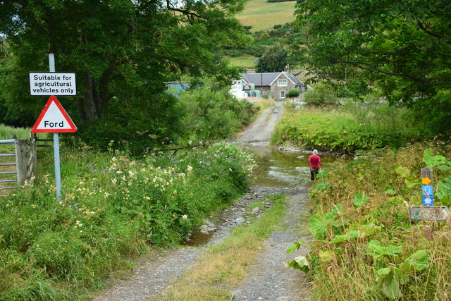
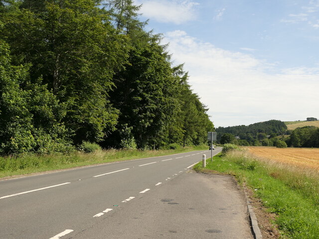
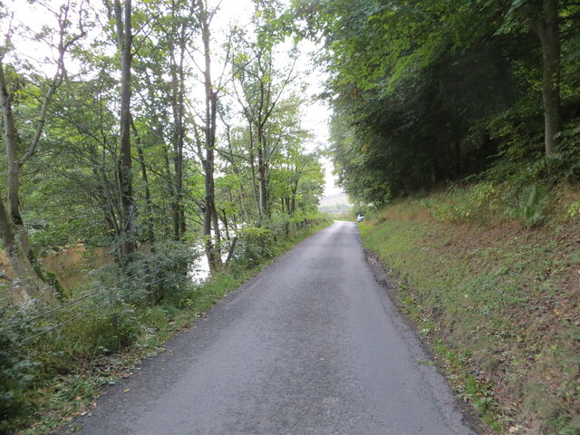
The plantation also boasts several well-maintained walking trails, allowing visitors to explore the beauty of the woodlands at their own pace. These trails offer stunning views of the surrounding countryside and provide opportunities for wildlife spotting.
In addition to its natural beauty, West Moor Plantation has historical significance. The land has been managed as a plantation for centuries, with evidence of its use dating back to the medieval period. It has played a vital role in the local economy, providing timber and fuel for the community.
Overall, West Moor Plantation is a treasured natural and historical gem in Roxburghshire. Its well-preserved woodlands, diverse wildlife, and picturesque walking trails make it a must-visit destination for anyone seeking to immerse themselves in nature's beauty.
If you have any feedback on the listing, please let us know in the comments section below.
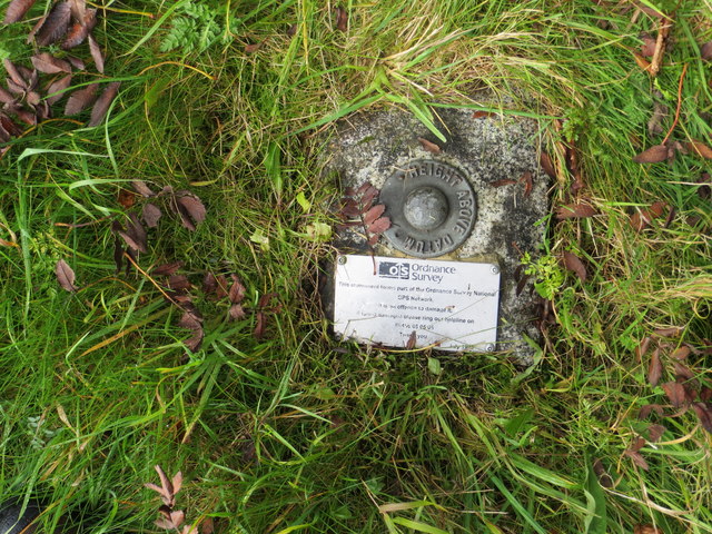
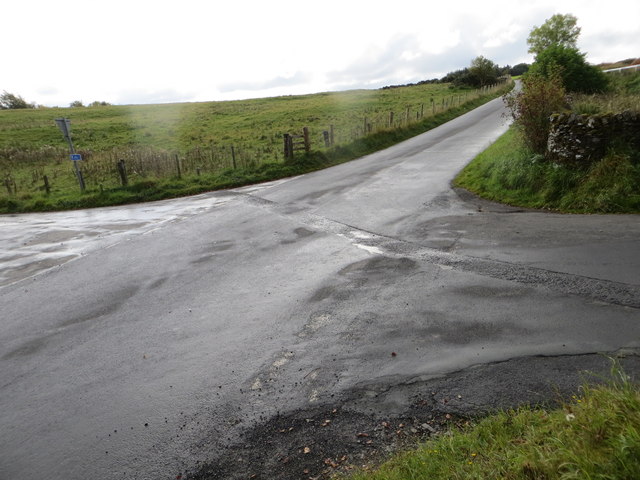
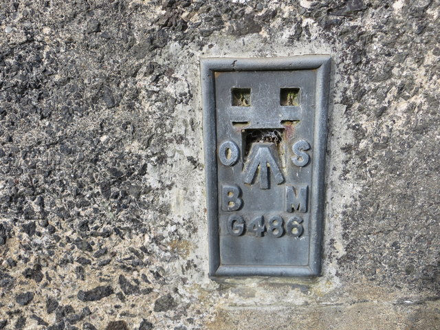
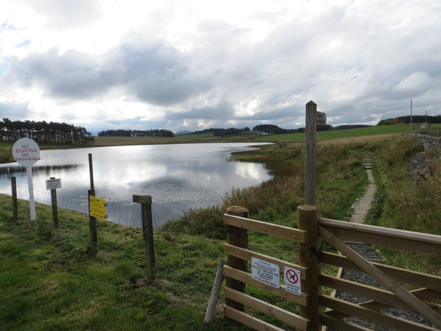
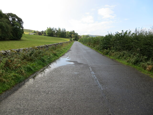
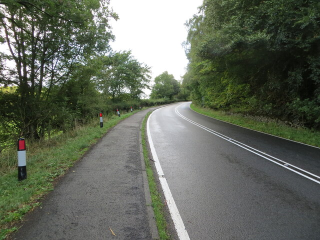
West Moor Plantation Images
Images are sourced within 2km of 55.397635/-2.8120285 or Grid Reference NT4811. Thanks to Geograph Open Source API. All images are credited.
West Moor Plantation is located at Grid Ref: NT4811 (Lat: 55.397635, Lng: -2.8120285)
Unitary Authority: The Scottish Borders
Police Authority: The Lothians and Scottish Borders
What 3 Words
///vitals.reunion.pheasants. Near Hawick, Scottish Borders
Nearby Locations
Related Wikis

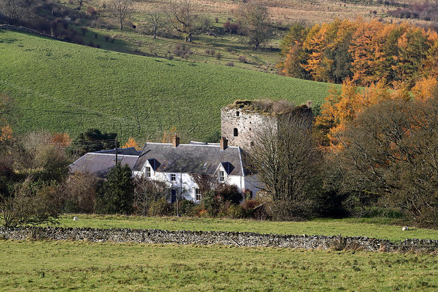
Branxholme Castle
Branxholme Castle is a five-storey tower at Branxholme, about 3 miles south-west of Hawick in the Borders region of Scotland. == History == The present...

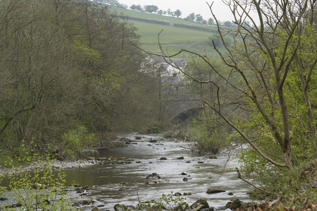
Borthwick Water
The Borthwick Water (Border Scots: Borthwick Witter) is a river in the Scottish Borders area of Scotland, and a tributary of the River Teviot. The Aithouse...

Branxholme
Branxholme is a hamlet in the Scottish Borders area of Scotland, overlooking the River Teviot, 3 miles (5 kilometres) southwest of Hawick, on the A7 road...

Stobs Military Camp
Stobs Camp is a military and internment camp located just outside Hawick in the Scottish Borders. It is an internationally important site due to its level...
Nearby Amenities
Located within 500m of 55.397635,-2.8120285Have you been to West Moor Plantation?
Leave your review of West Moor Plantation below (or comments, questions and feedback).