Pilmuir

Settlement in Roxburghshire

Scotland

Pilmuir

Grazing lands near Winningtonrig in Roxburghshire
Grazing lands near Winningtonrig in Roxburghshire Credit: James Denham

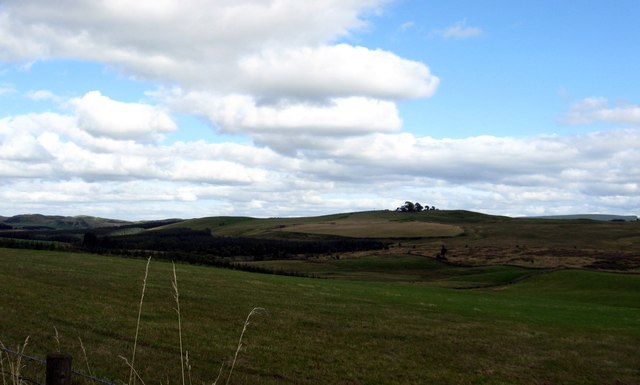
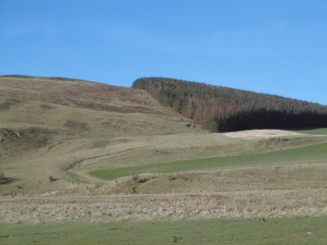
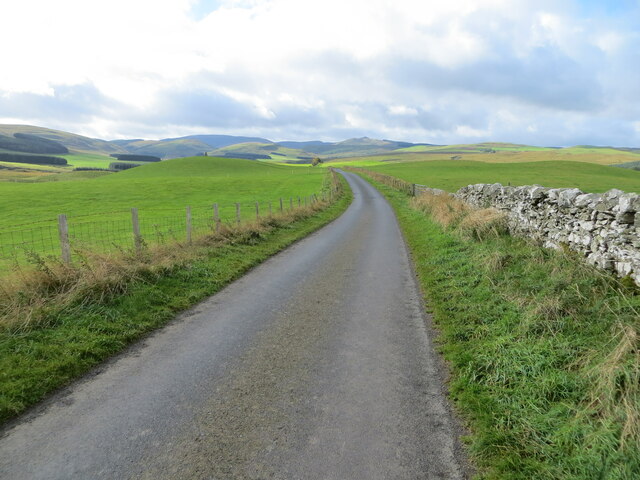
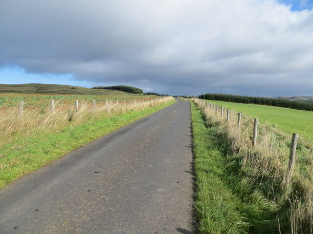
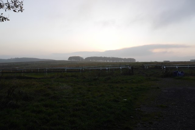
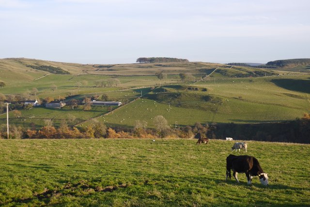
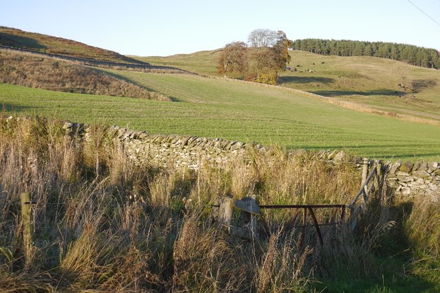
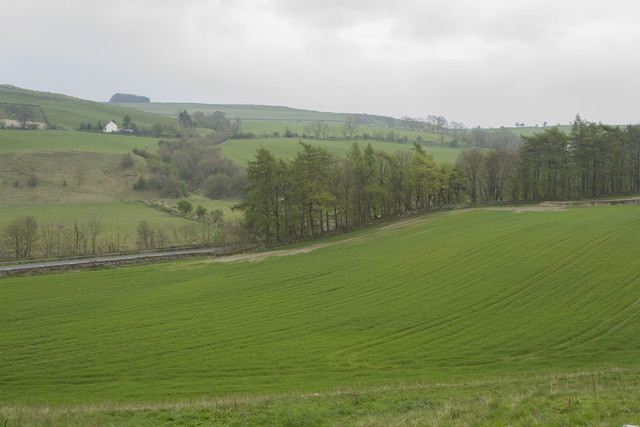
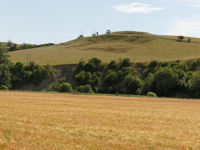
Pilmuir is a small village located in Roxburghshire, a historic county in the Scottish Borders region of Scotland. Situated in the eastern part of the country, Pilmuir is surrounded by picturesque landscapes and rolling hills, offering residents and visitors an abundance of natural beauty to enjoy.

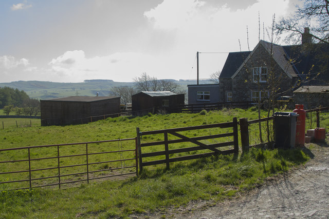
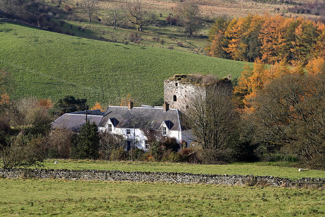
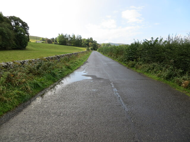
The village itself is characterized by a charming and tranquil atmosphere, with a close-knit community that takes pride in its rural heritage. Pilmuir is primarily a residential area, with a scattering of traditional stone houses and cottages that add to its quaint appeal. The local economy is largely centered around agriculture, with farms and agricultural fields dominating the surrounding countryside.

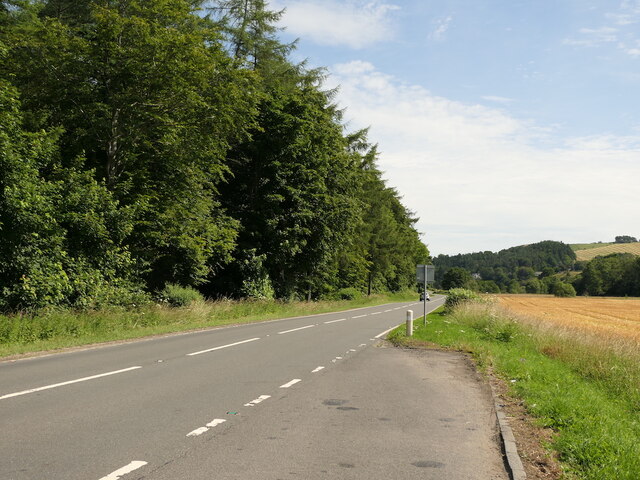
While Pilmuir may be small in size, it benefits from its proximity to nearby towns and amenities. The village is conveniently located just a short drive away from the town of Kelso, which offers a wider range of services including shops, schools, and healthcare facilities.

For those seeking outdoor activities, Pilmuir is ideally situated for exploring the surrounding countryside. The village is close to the River Tweed, a popular spot for fishing enthusiasts, and the nearby Cheviot Hills provide ample opportunities for hiking, biking, and other outdoor pursuits.

Overall, Pilmuir offers a peaceful and idyllic setting for those looking to escape the hustle and bustle of city life and embrace the tranquility of rural Scotland.

If you have any feedback on the listing, please let us know in the comments section below.
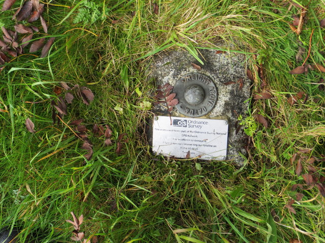
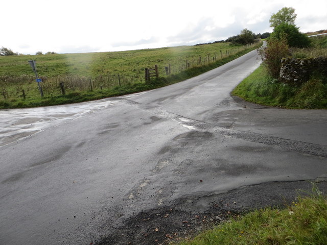
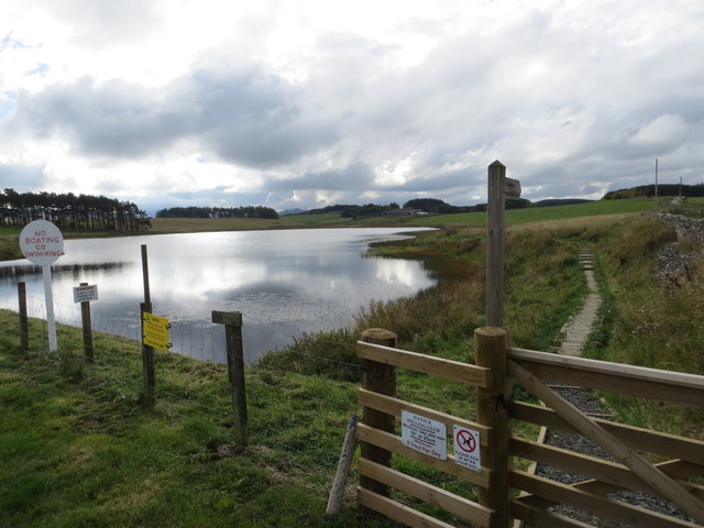
Pilmuir Images

Images are sourced within 2km of 55.390189/-2.8224212 or Grid Reference NT4811. Thanks to Geograph Open Source API. All images are credited.

Grazing lands near Winningtonrig in Roxburghshire
Hill Head Rough grazing above the Allan Water.
Hill Head
Rough grazing above the Allan Water.
Cairn on Auld Ca-Knowe Ca’ Knowe cairn was erected in 1911 to commemorate the historic calling of the burgess roll at this spot during the annual Hawick riding the marches between 1537 and 1777.
Cairn on Auld Ca-Knowe
Ca’ Knowe cairn was erected in 1911 to commemorate the historic calling of the burgess roll at this spot during the annual Hawick riding the marches between 1537 and 1777.
Wall and fence enclosed minor road near to Auld Ca-knowe Looking south-westward.
Wall and fence enclosed minor road near to Auld Ca-knowe
Looking south-westward.
Fence enclosed minor road near to Lord's Tree Looking north-eastward.
Fence enclosed minor road near to Lord's Tree
Looking north-eastward.
St Leonard's Park The racecourse plays a big part in the Common Riding.
St Leonard's Park
The racecourse plays a big part in the Common Riding.
Grazing, Branxholme A view across Teviotdale.
Grazing, Branxholme
A view across Teviotdale.
Branxholmpark Hill Grass fields above the Teviot, upstream of Hawick.
Branxholmpark Hill
Grass fields above the Teviot, upstream of Hawick.
Ordnance Survey Fundamental Bench Mark - Hawick This can be found hidden in the grass on the roadside verge of the cross-roads near Nipknowes Quarry.
For more detail see : <span class="nowrap"><a title="http://www.bench-marks.org.uk/bm1079" rel="nofollow ugc noopener" href="http://www.bench-marks.org.uk/bm1079">Link</a><img style="margin-left:2px;" alt="External link" title="External link - shift click to open in new window" src="https://s1.geograph.org.uk/img/external.png" width="10" height="10"/></span>
Ordnance Survey Fundamental Bench Mark - Hawick
This can be found hidden in the grass on the roadside verge of the cross-roads near Nipknowes Quarry. For more detail see : LinkExternal link
Cross Roads near Nipknowes Quarry Looking westward.
Cross Roads near Nipknowes Quarry
Looking westward.
Ordnance Survey Flush Bracket G486 This can be found on the retaining wall of Branxholm Bridge.
For more detail see : <span class="nowrap"><a title="http://www.bench-marks.org.uk/bm20289" rel="nofollow ugc noopener" href="http://www.bench-marks.org.uk/bm20289">Link</a><img style="margin-left:2px;" alt="External link" title="External link - shift click to open in new window" src="https://s1.geograph.org.uk/img/external.png" width="10" height="10"/></span>
Ordnance Survey Flush Bracket G486
This can be found on the retaining wall of Branxholm Bridge. For more detail see : LinkExternal link
Williestruther Loch Looking south-westward.
Williestruther Loch
Looking south-westward.
Improved pasture Looking down across improved pasture to the A7 road. This is close to Branxholm Bridge.
Improved pasture
Looking down across improved pasture to the A7 road. This is close to Branxholm Bridge.
A farm lane and buildings The houses are visible but none of the barns and other buildings of the farm yard.
A farm lane and buildings
The houses are visible but none of the barns and other buildings of the farm yard.
Goldielands Tower The 16th century 5-storey ruinous tower next to modern farm buildings stands in a commanding position above the confluence of the Borthwick Water and the River Teviot. Walter Scott of Goldielands helped rescue Kinmont Willie from Carlisle Castle in 1596 and according to tradition the last laird was hung from the entrance gateway for stealing cattle.
Goldielands Tower
The 16th century 5-storey ruinous tower next to modern farm buildings stands in a commanding position above the confluence of the Borthwick Water and the River Teviot. Walter Scott of Goldielands helped rescue Kinmont Willie from Carlisle Castle in 1596 and according to tradition the last laird was hung from the entrance gateway for stealing cattle.
A7, Branxholme 16 years after <a href="https://www.geograph.org.uk/photo/89703">NT4611 : Lay-by A7</a>
A7, Branxholme
16 years after NT4611 : Lay-by A7
Barley beside the Teviot, Branxholme
Minor road approaching Branxholm Bridgend Looking south-westward.
Minor road approaching Branxholm Bridgend
Looking south-westward.
Show me another place!

Pilmuir is located at Grid Ref: NT4811 (Lat: 55.390189, Lng: -2.8224212)

Unitary Authority: The Scottish Borders

Police Authority: The Lothians and Scottish Borders

What 3 Words

///heaven.comical.bonds. Near Hawick, Scottish Borders

Related Wikis

Branxholme Castle

Branxholme Castle is a five-storey tower at Branxholme, about 3 miles south-west of Hawick in the Borders region of Scotland. == History == The present...

Branxholme

Branxholme is a hamlet in the Scottish Borders area of Scotland, overlooking the River Teviot, three miles southwest of Hawick, on the A7 road to Langholm...

Stobs Military Camp

Stobs Camp is a military and internment camp located just outside Hawick in the Scottish Borders. It is an internationally important site due to its level...

Newmill-on-Teviot

Newmill-on-Teviot, commonly called Newmill, is a hamlet in the Scottish Borders, 7 kilometres (4.3 mi) south of Hawick on the River Teviot. The remains...

Stobs railway station

Stobs railway station served the hamlet of Barnes, Scottish Borders, Scotland from 1862 to 1969 on the Border Union Railway. == History == The station...

Borthwick Water

The Borthwick Water (Border Scots: Borthwick Witter) is a river in the Scottish Borders area of Scotland, and a tributary of the River Teviot. The Aithouse...

Broadhaugh

Broadhaugh is a hamlet in the Scottish Borders area of Scotland, in the parish of Teviothead, in former Roxburghshire. == See also == List of places in...

Hawick Cottage Hospital

Hawick Cottage Hospital was a health facility at Buccleuch Road in Hawick, Scotland. It was managed by NHS Borders. It is a Category B listed building...

Nearby Amenities

Located within 500m of 55.390189,-2.8224212
Power: pole
Lat/Long: 55.3895987/-2.8301181
The data included in this document is from www.openstreetmap.org. The data is made available under ODbL.

Have you been to Pilmuir?

Leave your review of Pilmuir below (or comments, questions and feedback).