Bailie's Hill

Hill, Mountain in Roxburghshire

Scotland

Bailie's Hill

Woodland on Vertish Hill Looking over Hawick Golf Club's course towards Vertish Hill.
Woodland on Vertish Hill Credit: Richard Webb

Bailie's Hill, located in Roxburghshire, Scotland, is a prominent hill that offers stunning views of the surrounding countryside. Situated in the southern part of Scotland, Bailie's Hill is part of the wider Cheviot Hills range and stands at an elevation of approximately 368 meters (1,207 feet) above sea level.

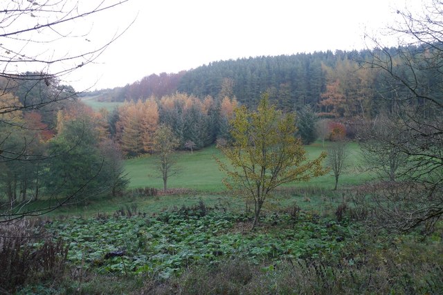
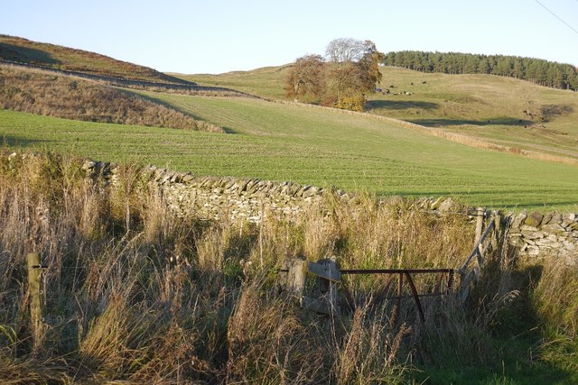
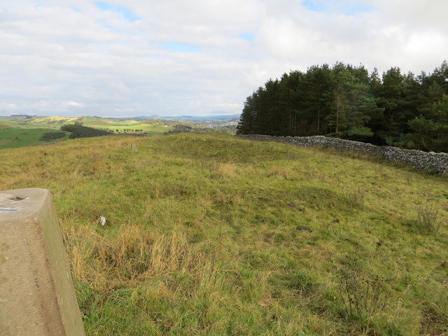
This hill is known for its distinctive shape, with a rounded summit that gently slopes down on all sides. The terrain consists of grassy slopes, heather moorland, and scattered rocky outcrops, providing a diverse landscape for visitors to explore. The hill is accessible via various footpaths and trails that wind their way up to the summit, making it a popular destination for hikers and walkers.

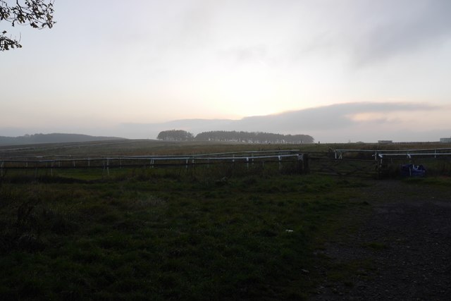
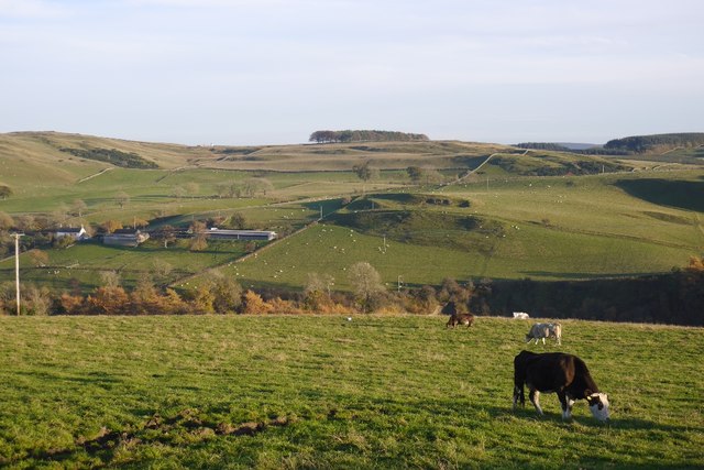
From the top of Bailie's Hill, visitors are rewarded with panoramic views that stretch across the surrounding countryside, offering glimpses of rolling hills, valleys, and distant mountain ranges. On clear days, it is even possible to see as far as the Northumberland coast.

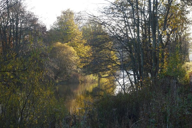
The area around Bailie's Hill is rich in wildlife, with many species of birds, mammals, and plant life calling it home. Birdwatchers may spot species such as buzzards, kestrels, and peregrine falcons soaring through the skies, while the hillsides are dotted with sheep and other grazing animals.

Bailie's Hill is a place of natural beauty and tranquility, offering visitors an opportunity to connect with nature and enjoy the breathtaking scenery that Roxburghshire has to offer. Whether it's a leisurely stroll or a challenging hike, this hill provides an unforgettable experience for all who venture to its summit.

If you have any feedback on the listing, please let us know in the comments section below.

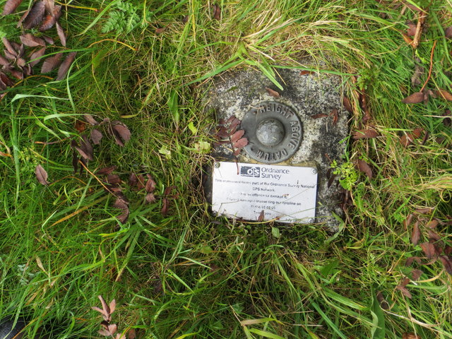
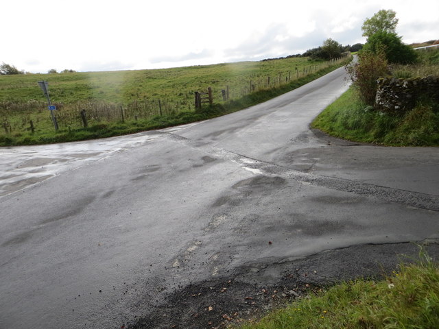
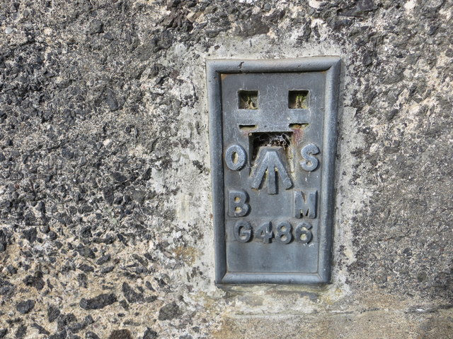
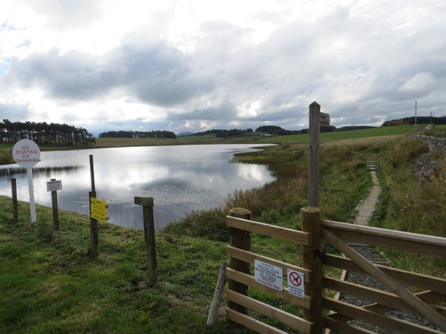
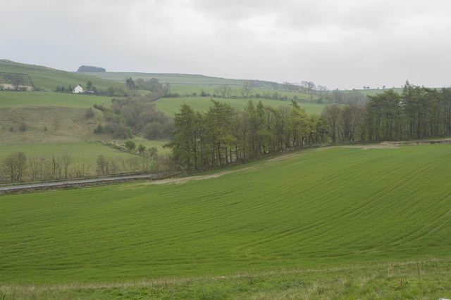
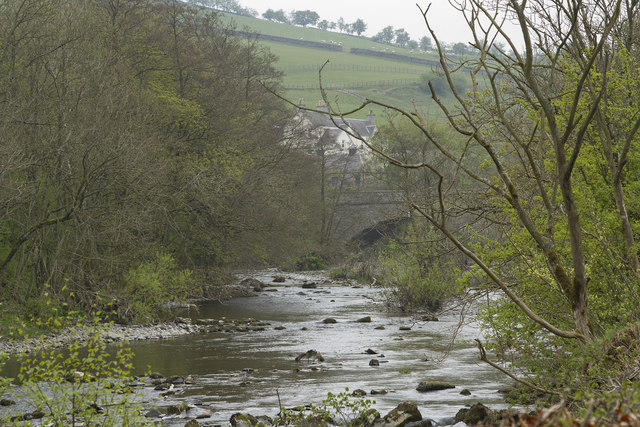
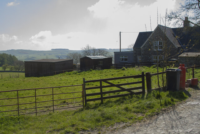
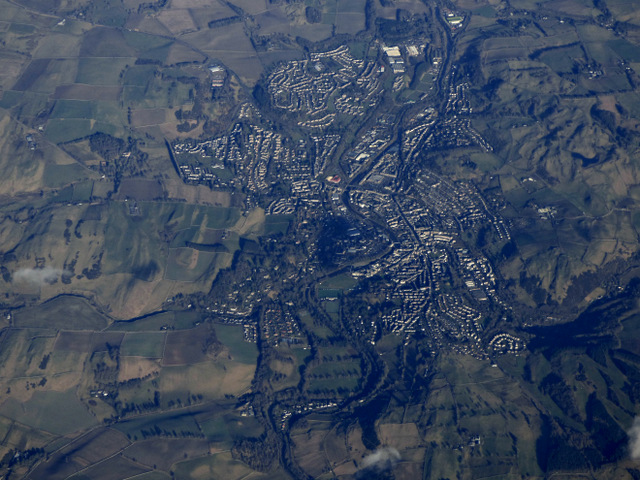
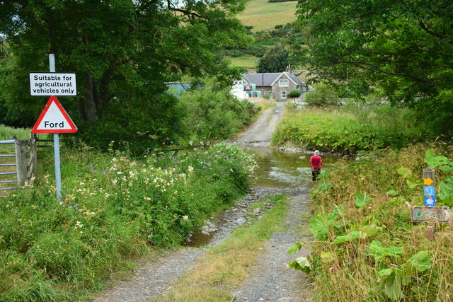
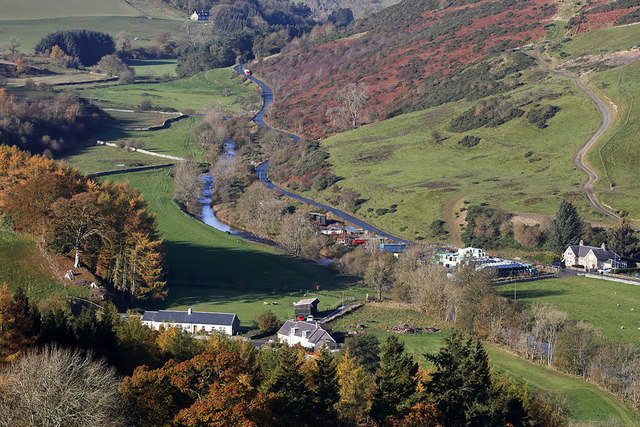
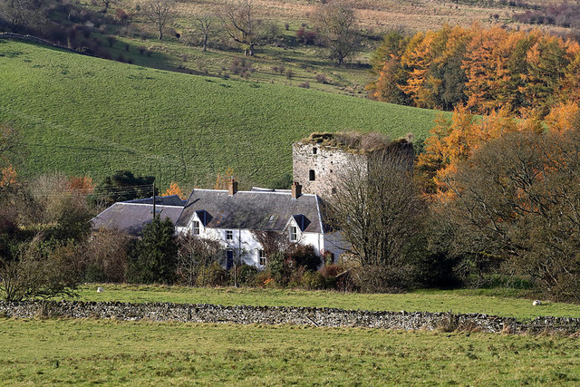
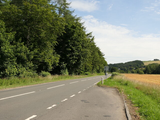
Bailie's Hill Images

Images are sourced within 2km of 55.398528/-2.8183311 or Grid Reference NT4811. Thanks to Geograph Open Source API. All images are credited.

Woodland on Vertish Hill Looking over Hawick Golf Club's course towards Vertish Hill.
Woodland on Vertish Hill
Looking over Hawick Golf Club's course towards Vertish Hill.
St Leonard's Park The racecourse plays a big part in the Common Riding.
St Leonard's Park
The racecourse plays a big part in the Common Riding.
River Teviot Downstream of Martin's Bridge.
River Teviot
Downstream of Martin's Bridge.
Grazing, Branxholme A view across Teviotdale.
Grazing, Branxholme
A view across Teviotdale.
Branxholmpark Hill Grass fields above the Teviot, upstream of Hawick.
Branxholmpark Hill
Grass fields above the Teviot, upstream of Hawick.
Ordnance Survey Fundamental Bench Mark - Hawick This can be found hidden in the grass on the roadside verge of the cross-roads near Nipknowes Quarry.
For more detail see : <span class="nowrap"><a title="http://www.bench-marks.org.uk/bm1079" rel="nofollow ugc noopener" href="http://www.bench-marks.org.uk/bm1079">Link</a><img style="margin-left:2px;" alt="External link" title="External link - shift click to open in new window" src="https://s1.geograph.org.uk/img/external.png" width="10" height="10"/></span>
Ordnance Survey Fundamental Bench Mark - Hawick
This can be found hidden in the grass on the roadside verge of the cross-roads near Nipknowes Quarry. For more detail see : LinkExternal link
Cross Roads near Nipknowes Quarry Looking westward.
Cross Roads near Nipknowes Quarry
Looking westward.
Ordnance Survey Flush Bracket G486 This can be found on the retaining wall of Branxholm Bridge.
For more detail see : <span class="nowrap"><a title="http://www.bench-marks.org.uk/bm20289" rel="nofollow ugc noopener" href="http://www.bench-marks.org.uk/bm20289">Link</a><img style="margin-left:2px;" alt="External link" title="External link - shift click to open in new window" src="https://s1.geograph.org.uk/img/external.png" width="10" height="10"/></span>
Ordnance Survey Flush Bracket G486
This can be found on the retaining wall of Branxholm Bridge. For more detail see : LinkExternal link
Wall-side view from Branxholmpark Hill Triangulation Pillar Looking north-eastward.
Wall-side view from Branxholmpark Hill Triangulation Pillar
Looking north-eastward.
Williestruther Loch Looking south-westward.
Williestruther Loch
Looking south-westward.
Improved pasture Looking down across improved pasture to the A7 road. This is close to Branxholm Bridge.
Improved pasture
Looking down across improved pasture to the A7 road. This is close to Branxholm Bridge.
Martin's Bridge The bridge carries the A7 across the River Teviot. We walked along the river from the middle of Hawick and werepleased to see Goosander, Dipper, many Wagtail Pied and Grey and a Bullfinch as well as many other more common birds.
Martin's Bridge
The bridge carries the A7 across the River Teviot. We walked along the river from the middle of Hawick and werepleased to see Goosander, Dipper, many Wagtail Pied and Grey and a Bullfinch as well as many other more common birds.
A farm lane and buildings The houses are visible but none of the barns and other buildings of the farm yard.
A farm lane and buildings
The houses are visible but none of the barns and other buildings of the farm yard.
Hawick from the air The River Teviot can be seen running through the centre of the town.
Hawick from the air
The River Teviot can be seen running through the centre of the town.
Borthwick Ford This ford is found on Borthwick Water.
Borthwick Ford
This ford is found on Borthwick Water.
Borthaugh from Crumhaugh Hill This telephoto shot shows the Borthwick Water and B711 on the southwest side of Hawick.
Borthaugh from Crumhaugh Hill
This telephoto shot shows the Borthwick Water and B711 on the southwest side of Hawick.
Goldielands Tower The 16th century 5-storey ruinous tower next to modern farm buildings stands in a commanding position above the confluence of the Borthwick Water and the River Teviot. Walter Scott of Goldielands helped rescue Kinmont Willie from Carlisle Castle in 1596 and according to tradition the last laird was hung from the entrance gateway for stealing cattle.
Goldielands Tower
The 16th century 5-storey ruinous tower next to modern farm buildings stands in a commanding position above the confluence of the Borthwick Water and the River Teviot. Walter Scott of Goldielands helped rescue Kinmont Willie from Carlisle Castle in 1596 and according to tradition the last laird was hung from the entrance gateway for stealing cattle.
A7, Branxholme 16 years after <a href="https://www.geograph.org.uk/photo/89703">NT4611 : Lay-by A7</a>
A7, Branxholme
16 years after NT4611 : Lay-by A7
Show me another place!

Bailie's Hill is located at Grid Ref: NT4811 (Lat: 55.398528, Lng: -2.8183311)

Unitary Authority: The Scottish Borders

Police Authority: The Lothians and Scottish Borders

What 3 Words

///schooling.improve.sprinting. Near Hawick, Scottish Borders

Related Wikis

Branxholme Castle

Branxholme Castle is a five-storey tower at Branxholme, about 3 miles south-west of Hawick in the Borders region of Scotland. == History == The present...

Branxholme

Branxholme is a hamlet in the Scottish Borders area of Scotland, overlooking the River Teviot, 3 miles (5 kilometres) southwest of Hawick, on the A7 road...

Borthwick Water

The Borthwick Water (Border Scots: Borthwick Witter) is a river in the Scottish Borders area of Scotland, and a tributary of the River Teviot. The Aithouse...

Hawick Cottage Hospital

Hawick Cottage Hospital was a health facility at Buccleuch Road in Hawick, Scotland. It was managed by NHS Borders. It is a Category B listed building...

Nearby Amenities

Located within 500m of 55.398528,-2.8183311
Natural: peak
Lat/Long: 55.398375/-2.8189629
The data included in this document is from www.openstreetmap.org. The data is made available under ODbL.

Have you been to Bailie's Hill?

Leave your review of Bailie's Hill below (or comments, questions and feedback).