Knole Hill
Hill, Mountain in Somerset South Somerset
England
Knole Hill
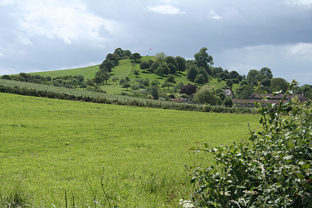
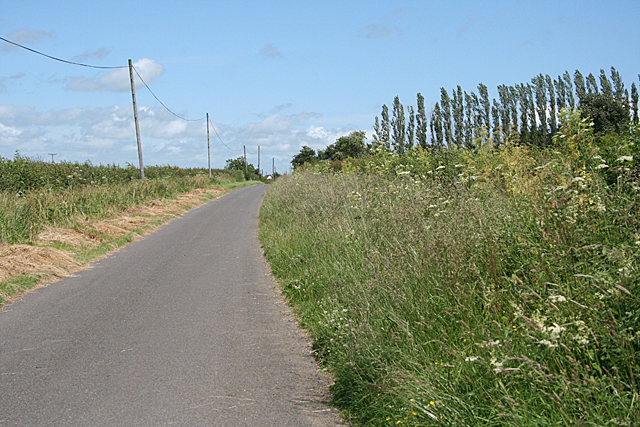
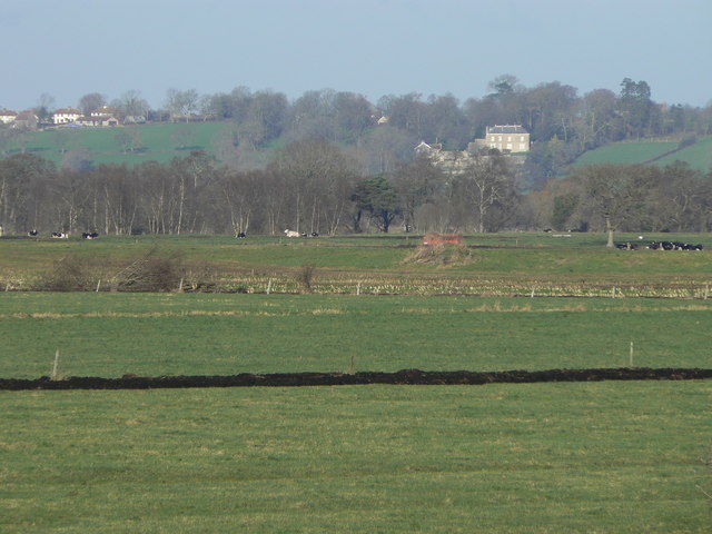
Knole Hill is a prominent geological feature located in Somerset, England. Rising to an elevation of 229 meters (751 feet), it is classified as a hill rather than a mountain due to its moderate height. Situated near the town of Langport, Knole Hill is part of the larger Polden Hills range, which stretches across Somerset and offers panoramic views of the surrounding countryside.
The hill is characterized by its gently sloping sides, covered in lush green vegetation and dotted with scattered trees. Its summit provides a vantage point for stunning vistas of the Somerset Levels, a wetland area renowned for its diverse wildlife and unique ecosystem. On clear days, visitors can enjoy sweeping views of the Mendip Hills to the south, and even catch a glimpse of the distant Blackdown Hills to the west.
Knole Hill is a popular destination for outdoor enthusiasts, hikers, and nature lovers. Several walking trails traverse the area, allowing visitors to explore its natural beauty. The hill is also home to a variety of plant and animal species, including wildflowers, butterflies, and birds, making it an ideal spot for wildlife observation and photography.
Furthermore, Knole Hill holds historical significance as it is believed to have been an Iron Age hillfort. Excavations have revealed evidence of human occupation dating back thousands of years, including the remains of ancient settlements and burial sites. Archaeological finds such as pottery and tools have provided valuable insights into the lives of the people who once called this hill their home.
Overall, Knole Hill in Somerset offers both natural beauty and historical intrigue, making it a captivating destination for visitors seeking a blend of scenic landscapes and cultural heritage.
If you have any feedback on the listing, please let us know in the comments section below.
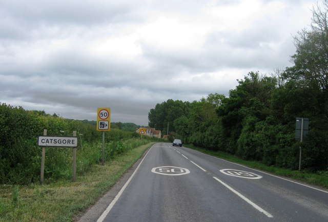
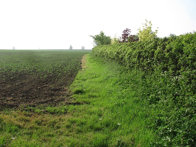
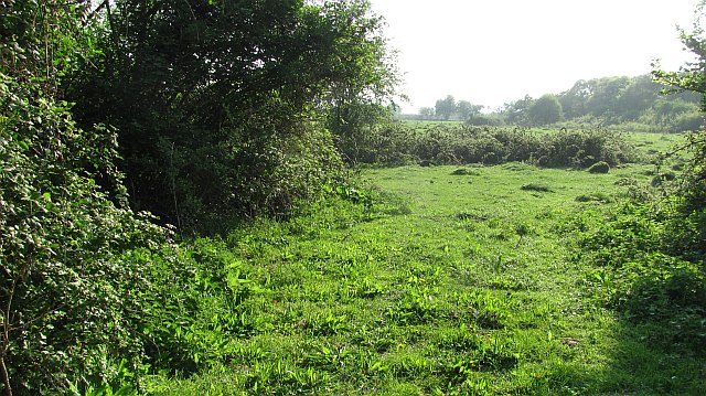
Knole Hill Images
Images are sourced within 2km of 51.021591/-2.7390279 or Grid Reference ST4824. Thanks to Geograph Open Source API. All images are credited.


Knole Hill is located at Grid Ref: ST4824 (Lat: 51.021591, Lng: -2.7390279)
Administrative County: Somerset
District: South Somerset
Police Authority: Avon and Somerset
What 3 Words
///bonds.longingly.conducted. Near Ilchester, Somerset
Nearby Locations
Related Wikis
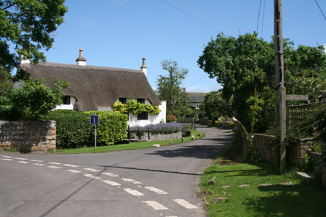
Long Sutton, Somerset
Long Sutton is a village and civil parish in Somerset, England, situated 4 miles (6.4 km) south of Somerton in the South Somerset district. The village...
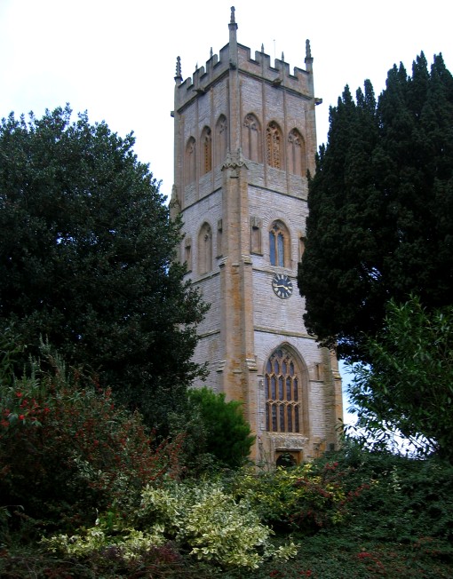
Church of the Holy Trinity, Long Sutton
The Church of the Holy Trinity in Long Sutton, Somerset, England dates from the 15th century and has been designated as a Grade I listed building.An earlier...
Long Load
Long Load is a village and parish in Somerset, England, situated on the River Yeo 5 miles (8.0 km) south of Somerton in the South Somerset district. The...

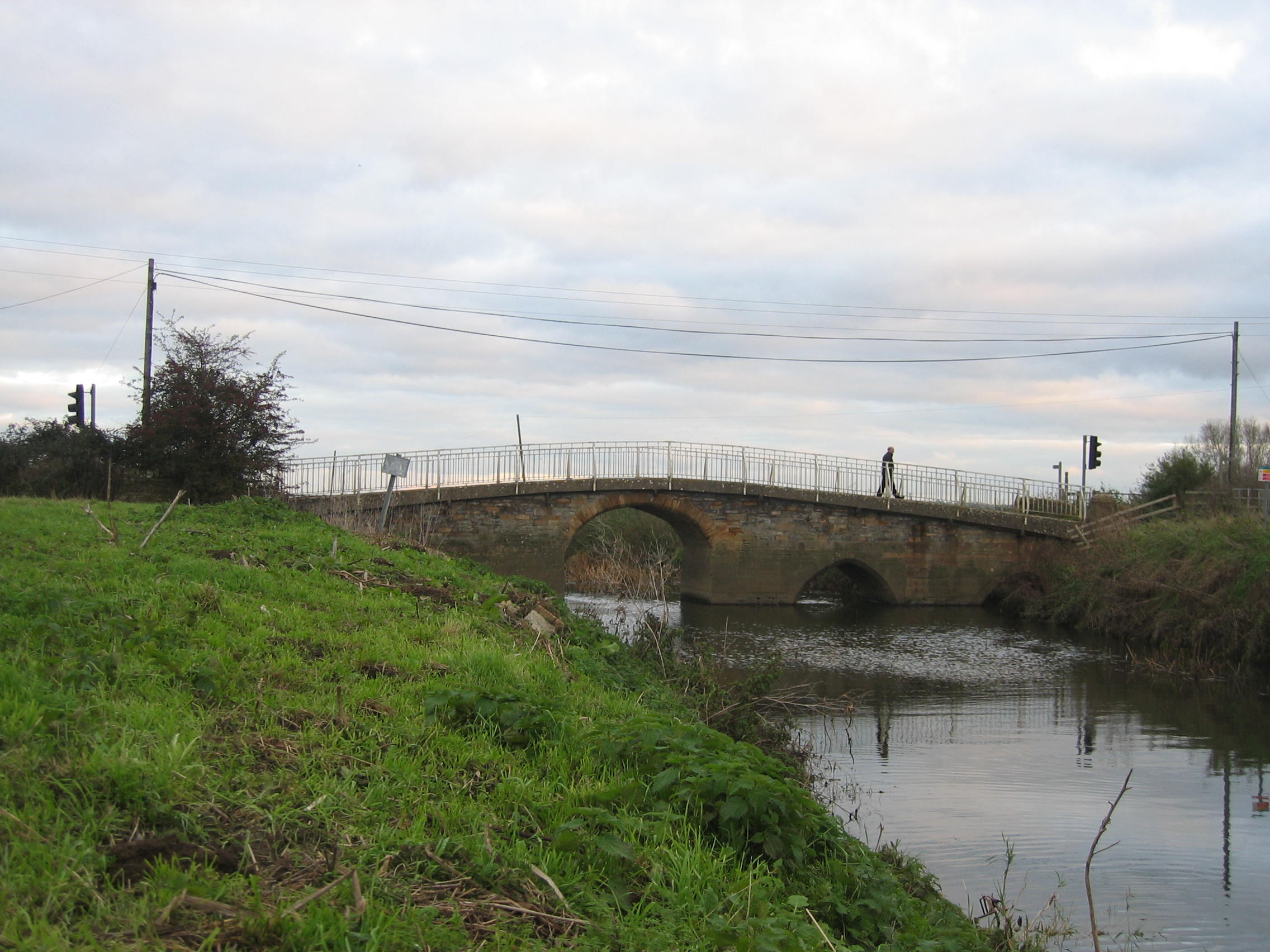
Pill Bridge
Pill Bridge is a stone arch bridge over the River Yeo between the parishes of Ilchester and Long Sutton, in the English county of Somerset. It is a scheduled...

Christ Church, Long Load
Christ Church is a former Church of England church in Long Load, Somerset, England. Designed by Charles Edmund Giles, it was built in 1854–1856 on the...

Somerton Tunnel
Somerton Tunnel is located between Somerton and Langport on the Reading to Taunton Line in Somerset, England.The tunnel was constructed by the Great Western...
Mid Somerset Hills
The Mid Somerset Hills are a major natural region in the county of Somerset in southwest west England, forming a series of low hills and ridges that divide...

Long Sutton and Pitney railway station
Long Sutton and Pitney railway station was a minor railway station situated in the hamlet of Upton, Somerset, about one mile equidistant from the two larger...
Nearby Amenities
Located within 500m of 51.021591,-2.7390279Have you been to Knole Hill?
Leave your review of Knole Hill below (or comments, questions and feedback).