Tentsmuir Forest

Wood, Forest in Fife

Scotland

Tentsmuir Forest

Observation post at Tentsmuir A distant view westwards from the beach to the observation post at Tentsmuir Forest.
Observation post at Tentsmuir Credit: Scott Cormie

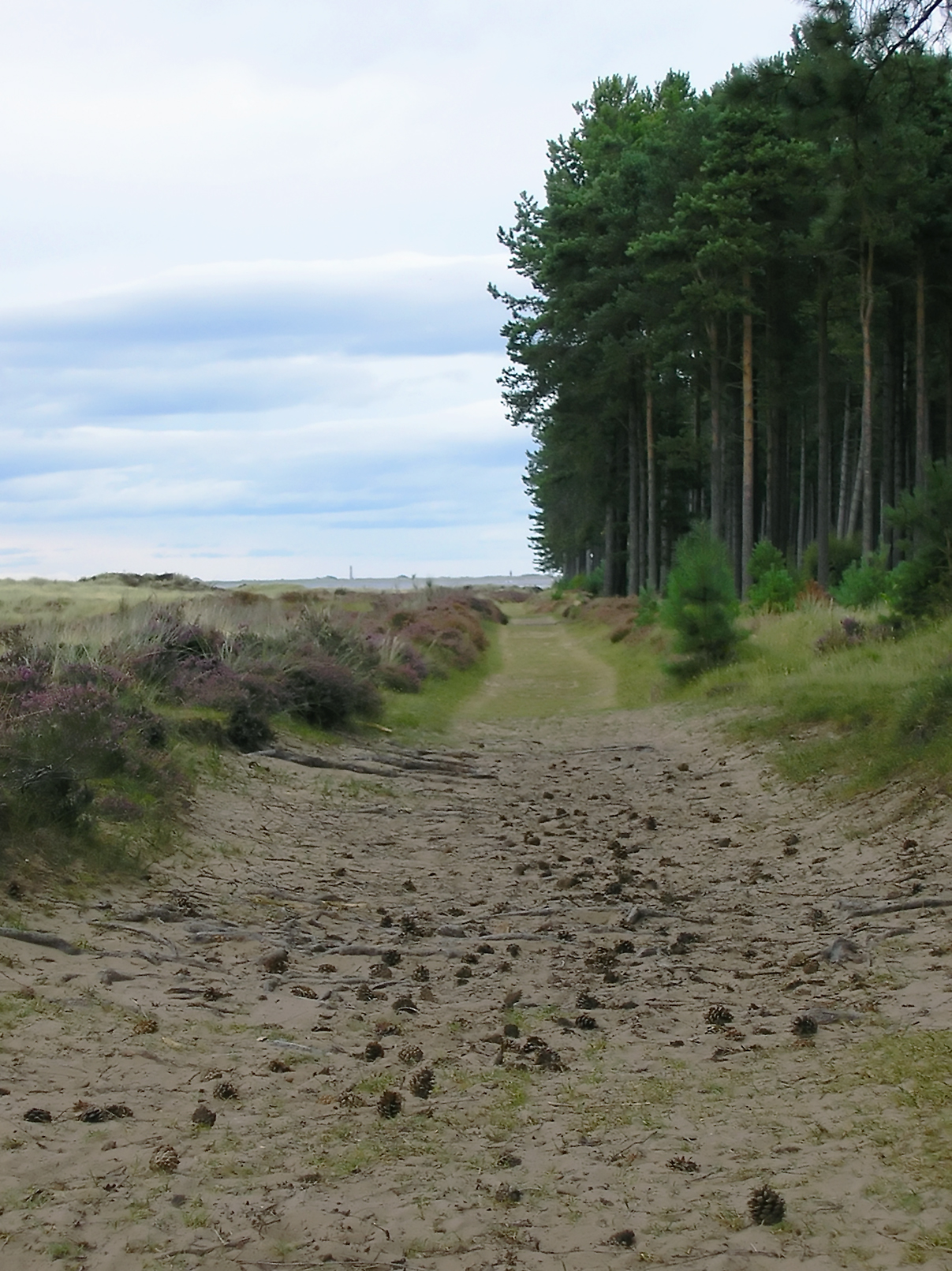
Tentsmuir Forest is a vast woodland located on the eastern coast of Scotland, in the county of Fife. Sprawling across an area of approximately 50 square kilometers, it is a diverse and enchanting natural habitat that attracts visitors from near and far.

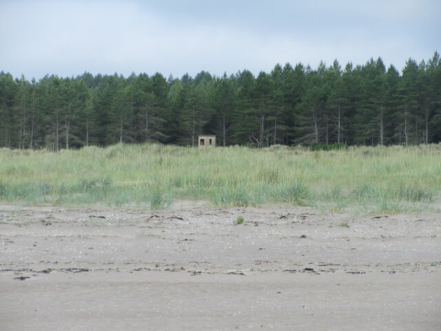
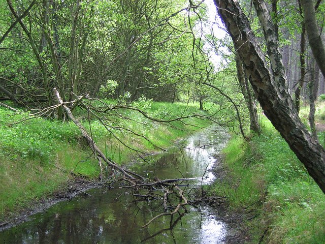
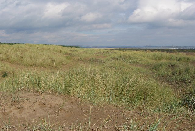
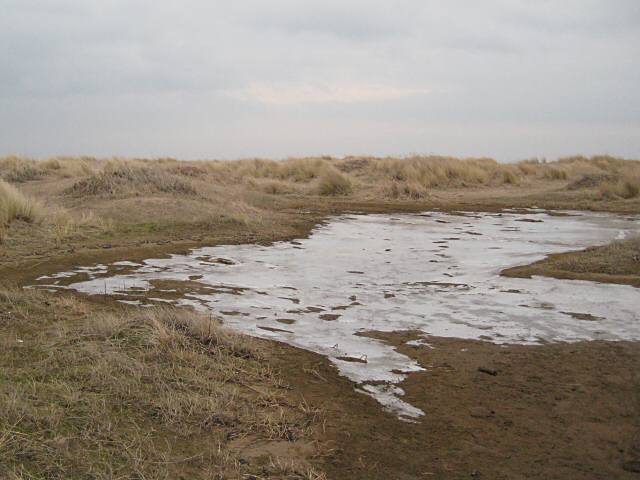
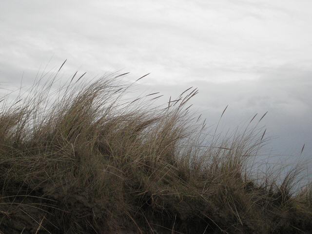
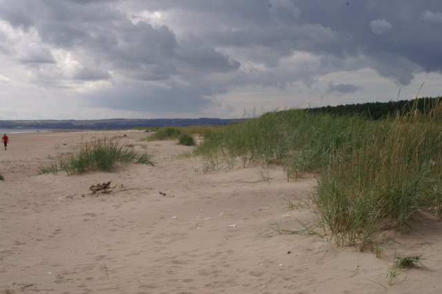
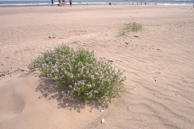
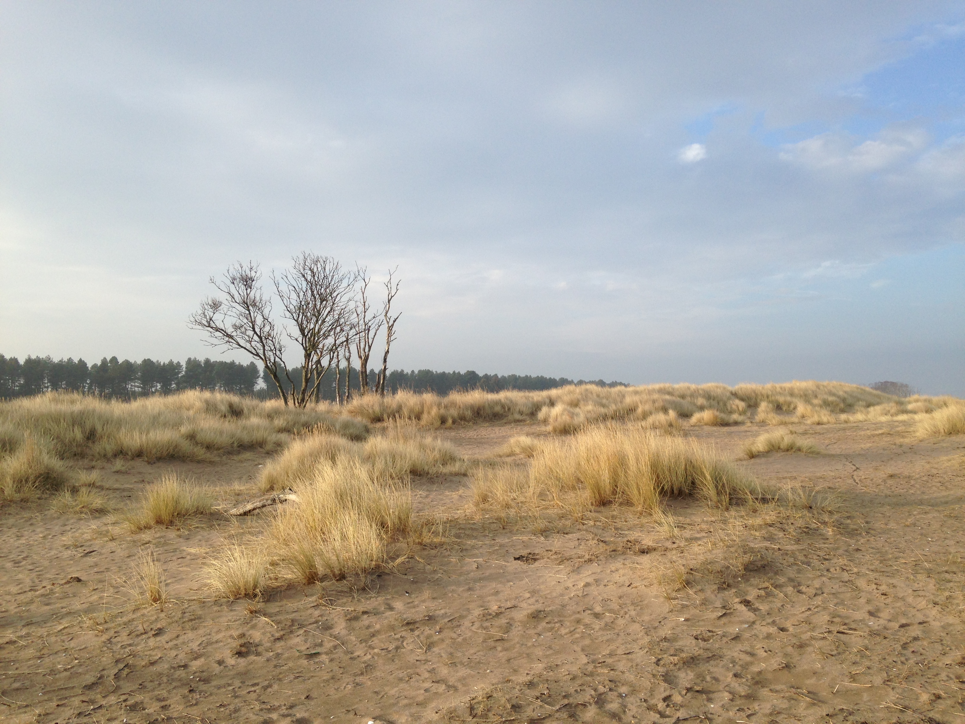
The forest is predominantly composed of Scots pine trees, which create a stunning canopy that blankets the landscape. However, Tentsmuir Forest also encompasses a range of other habitats, including dunes, heathland, and marshes, making it a unique and varied ecosystem.

Visitors to Tentsmuir Forest can explore its extensive network of trails, which wind through the woodland and offer stunning views of the surrounding area. The forest is also home to a rich array of wildlife, including red squirrels, deer, and a variety of bird species, making it a haven for nature enthusiasts and birdwatchers.

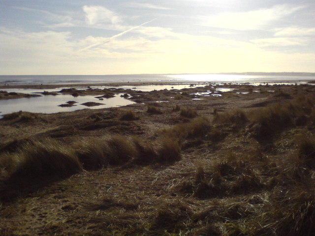
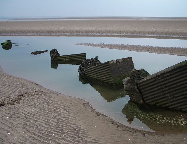
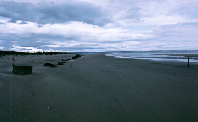
One of the highlights of Tentsmuir Forest is its proximity to the coast. The forest borders the magnificent Tentsmuir Sands, a stretch of golden beach that stretches for miles along the North Sea. This stunning combination of forest and beach creates a captivating landscape, perfect for leisurely walks, picnics, or simply taking in the serenity of nature.

Tentsmuir Forest is managed by Forestry and Land Scotland, who work to preserve and protect this natural gem for future generations. With its beautiful scenery, diverse wildlife, and tranquil atmosphere, Tentsmuir Forest is a must-visit destination for anyone seeking a peaceful retreat in the heart of nature.

If you have any feedback on the listing, please let us know in the comments section below.

Tentsmuir Forest Images

Images are sourced within 2km of 56.419803/-2.8338267 or Grid Reference NO4825. Thanks to Geograph Open Source API. All images are credited.

Observation post at Tentsmuir A distant view westwards from the beach to the observation post at Tentsmuir Forest.
Observation post at Tentsmuir
A distant view westwards from the beach to the observation post at Tentsmuir Forest.
Drain, Tentsmuir. Behind the beach is an area of wetland. The Forestry have dug this drain which divides the pines on the west side from an area of swampy willow wood on the eastern seaward side.
Drain, Tentsmuir.
Behind the beach is an area of wetland. The Forestry have dug this drain which divides the pines on the west side from an area of swampy willow wood on the eastern seaward side.
Dunes, Tentsmuir. Unconsolidated sand dunes at Tenstsmuir. Sand is blown off the big beach and the small sandhills are being colonised by marram grass. Further inland the ground is stabilised by forestry plantations.  Looking northward towards Angus.
Dunes, Tentsmuir.
Unconsolidated sand dunes at Tenstsmuir. Sand is blown off the big beach and the small sandhills are being colonised by marram grass. Further inland the ground is stabilised by forestry plantations. Looking northward towards Angus.
Tentsmuir Beach Showing signs of coastal erosion.
Tentsmuir Beach
Showing signs of coastal erosion.
Tentsmuir Ice House
Tentsmuir Ice House
View of Kinshaldy beach from Tentsmuir Forest Low winter sun over 'Kinshaldy Beach' facing the north sea and St. Andrews, the "Home of Golf", Fife.
View of Kinshaldy beach from Tentsmuir Forest
Low winter sun over 'Kinshaldy Beach' facing the north sea and St. Andrews, the "Home of Golf", Fife.
Tank Traps,Tentsmuir Sands This section of the wartime defences seems to have been undermined by shifting sands.
Tank Traps,Tentsmuir Sands
This section of the wartime defences seems to have been undermined by shifting sands.
Tentsmuir Forest Wonderful Pine Forest adjacent to Kinshaldy Beach
Tentsmuir Forest
Wonderful Pine Forest adjacent to Kinshaldy Beach
Ice House Near Tentsmuir Point
Ice House
Near Tentsmuir Point
Tentsmuir blockhouse One of many wartime defences dotted around Tentsmuir.
Tentsmuir blockhouse
One of many wartime defences dotted around Tentsmuir.
Tentsmuir Icehouse This large icehouse  was used for the storage of salmon caught in nets in the Tay estuary before being transported to the railway station at Tayport for the nightly fish train to Billingsgate. The shallow ice ponds are situated just past the picnic tables and roadway.
Tentsmuir Icehouse
This large icehouse was used for the storage of salmon caught in nets in the Tay estuary before being transported to the railway station at Tayport for the nightly fish train to Billingsgate. The shallow ice ponds are situated just past the picnic tables and roadway.
Tank traps disappearing into the sands of Tentsmuir beach
Ice in the dunes At the end of a bitterly cold snap the pools above the tideline were all frozen.
Ice in the dunes
At the end of a bitterly cold snap the pools above the tideline were all frozen.
Dunes' edge Walking along the beach above the high tide mark we were sheltered from the biting wind by the overhanging edge of the dunes.
Dunes' edge
Walking along the beach above the high tide mark we were sheltered from the biting wind by the overhanging edge of the dunes.
Windblown sand Every time the wind gusted, it sent streams of dry sand flowing just above the surface of the damp beach.
Windblown sand
Every time the wind gusted, it sent streams of dry sand flowing just above the surface of the damp beach.
Tentsmuir Sands Looking north, with the Angus coastline in the far distance.
Tentsmuir Sands
Looking north, with the Angus coastline in the far distance.
Tentsmuir Sands Foredunes on the beach, looking south towards Leuchars.
Tentsmuir Sands
Foredunes on the beach, looking south towards Leuchars.
Sea Rocket (Cakile maritima), Tentsmuir Sands An early colonist of mobile foredunes.
Sea Rocket (Cakile maritima), Tentsmuir Sands
An early colonist of mobile foredunes.
Show me another place!

Tentsmuir Forest is located at Grid Ref: NO4825 (Lat: 56.419803, Lng: -2.8338267)

Unitary Authority: Fife

Police Authority: Fife

What 3 Words

///arranger.snows.prompting. Near Tayport, Fife

Nearby Locations

Tentsmuir Forest

Related Wikis

Tentsmuir National Nature Reserve

Tentsmuir National Nature Reserve (NNR) is located southeast of Tayport in Fife, Scotland. The reserve is made up of three parts, encompassing Morton Lochs...

Tentsmuir Forest

Tentsmuir Forest is in north east Fife, Scotland. Covering some 5 square miles (13 km2), the forest was originally sand dunes and moorland before acquisition...

Morton Lochs

Morton Lochs is part of Tentsmuir National Nature Reserve located near Tayport, in the north east of Fife, Scotland. It consists of three small lochs important...

Tayport F.C.

Tayport Football Club are a Scottish football club from Tayport, Fife. Formed in 1947, they play their home games at The Canniepairt. Nicknamed the Port...

Nearby Amenities

Located within 500m of 56.419803,-2.8338267
Ford: yes
Lat/Long: 56.4211057/-2.8389466
The data included in this document is from www.openstreetmap.org. The data is made available under ODbL.

Have you been to Tentsmuir Forest?

Leave your review of Tentsmuir Forest below (or comments, questions and feedback).