Boglogie Wood

Wood, Forest in Banffshire

Scotland

Boglogie Wood

Forest track on Braco Hill Looking northward.
Forest track on Braco Hill Credit: Peter Wood

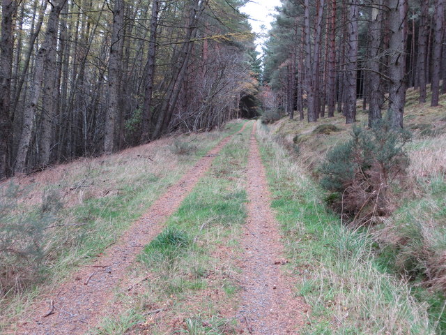
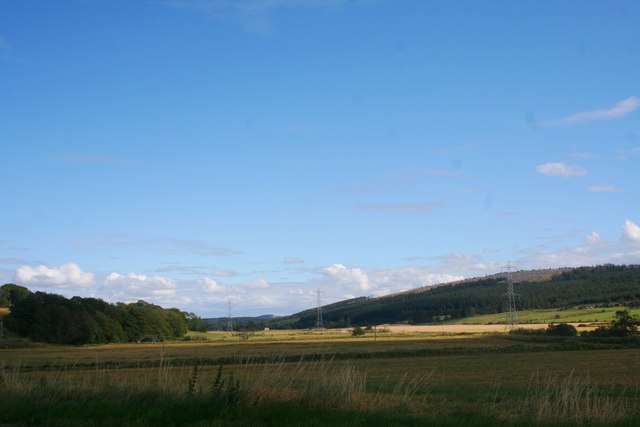
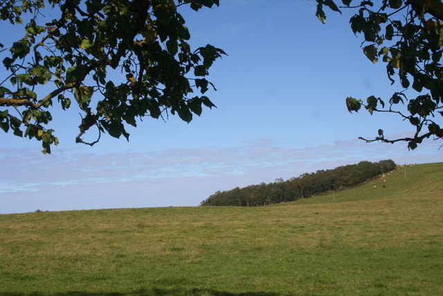
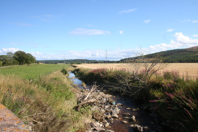
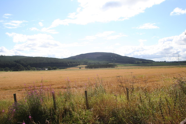
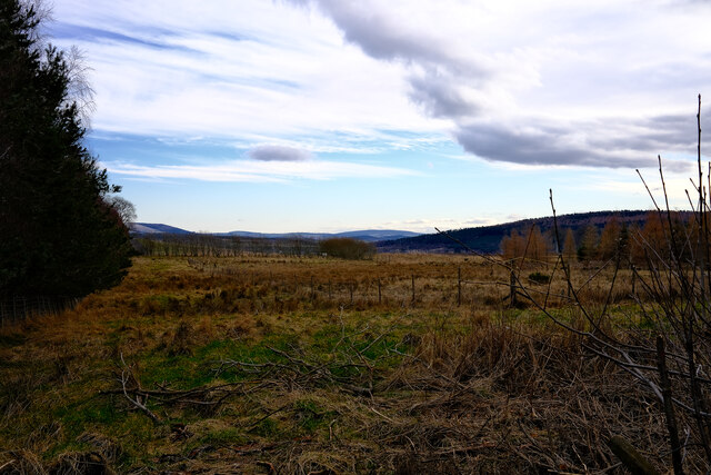
Boglogie Wood is a charming forest located in Banffshire, Scotland. Set amidst the picturesque landscape of the area, the wood spans over a vast area of approximately 200 acres. It is nestled in the heart of the countryside, offering a tranquil retreat for nature enthusiasts and outdoor enthusiasts alike.

The woodland is predominantly composed of native broadleaf trees, such as oak, birch, and hazel, which create a rich and diverse ecosystem. The canopy formed by these trees provides a cool and shaded environment, perfect for leisurely walks, birdwatching, or simply immersing oneself in the beauty of nature.

Boglogie Wood is also home to a variety of wildlife species, including roe deer, red squirrels, and a plethora of bird species. Birdwatchers will find themselves captivated by the songs and colorful plumage of species such as great spotted woodpeckers, chiffchaffs, and goldcrests.

The wood is crisscrossed by a network of well-maintained trails, allowing visitors to explore its enchanting corners easily. These trails offer a mix of easy and moderate difficulty levels, catering to individuals of various ages and fitness levels. Along the way, benches and picnic spots are strategically placed, inviting visitors to take a moment to appreciate the breathtaking scenery.

Managed by a local conservation group, Boglogie Wood is committed to preserving the natural heritage of the area. Regular maintenance and conservation efforts ensure the wood remains a haven for both wildlife and visitors for generations to come.

If you have any feedback on the listing, please let us know in the comments section below.

Boglogie Wood Images

Images are sourced within 2km of 57.555283/-2.8639577 or Grid Reference NJ4852. Thanks to Geograph Open Source API. All images are credited.

Forest track on Braco Hill Looking northward.
Forest track on Braco Hill
Looking northward.
Strathisla to Meikle Balloch A view of Strathisla , by Cantly, to the hill of Meikle Balloch beyond.
Strathisla to Meikle Balloch
A view of Strathisla , by Cantly, to the hill of Meikle Balloch beyond.
The Strath Farmland and woodland in Strathisla with Little Balloch Hill in the distance on the right.
The Strath
Farmland and woodland in Strathisla with Little Balloch Hill in the distance on the right.
Haughs of Grange Grassland A grass field by Haughs of Grange with Balloch Wood behind.
Haughs of Grange Grassland
A grass field by Haughs of Grange with Balloch Wood behind.
Burn Of Braco The Burn of Braco near Thornton from Braco Bridge.
Burn Of Braco
The Burn of Braco near Thornton from Braco Bridge.
Braco Fields Grain fields by Braco.
Braco Fields
Grain fields by Braco.
Roadside Trees A tree lined road by Bridge of Braco.
Roadside Trees
A tree lined road by Bridge of Braco.
Ordnance Survey  Flush Bracket S7110 This can be found on the wall of St Ninians Church.
For more detail see : <span class="nowrap"><a title="http://www.bench-marks.org.uk/bm20966" rel="nofollow ugc noopener" href="http://www.bench-marks.org.uk/bm20966">Link</a><img style="margin-left:2px;" alt="External link" title="External link - shift click to open in new window" src="https://s1.geograph.org.uk/img/external.png" width="10" height="10"/></span>
Ordnance Survey Flush Bracket S7110
This can be found on the wall of St Ninians Church. For more detail see : LinkExternal link
Grange station (remains), 1997 View eastward, towards Cairnie Junction, Huntly and Aberdeen: ex-GNSR Aberdeen - Huntly - Keith - Elgin - (Inverness) main line. This little station - on a single-track main line - was closed 6/5/68, when also the Coast Line from the (triangular) Cairnie Junction via Portsoy and Cullen to Keith was closed.
Grange station (remains), 1997
View eastward, towards Cairnie Junction, Huntly and Aberdeen: ex-GNSR Aberdeen - Huntly - Keith - Elgin - (Inverness) main line. This little station - on a single-track main line - was closed 6/5/68, when also the Coast Line from the (triangular) Cairnie Junction via Portsoy and Cullen to Keith was closed.
Gordonstown One of many farms named Gordonstown, this one is in the davoch of Grange.
Gordonstown
One of many farms named Gordonstown, this one is in the davoch of Grange.
Gallowhill edge The edge of Gallowhill wood looking over the fields
Gallowhill edge
The edge of Gallowhill wood looking over the fields
Layby on the A95 View from a layby on the A95
Layby on the A95
View from a layby on the A95
Boundary Ditch A drainage ditch forms the boundary betweena field of barley on the left, and a field of grass on the right. The hill in the distance is Meikle Balloch.
Boundary Ditch
A drainage ditch forms the boundary betweena field of barley on the left, and a field of grass on the right. The hill in the distance is Meikle Balloch.
Fields of Barley It's hard to avoid the power lines around here. This power line follows a ditch that drains these fields.
Fields of Barley
It's hard to avoid the power lines around here. This power line follows a ditch that drains these fields.
Overgrown Track The track just leads down from the road into some fields, so is used only occasionally, allowing the vegetation to flourish. Stripeside is in the background, partly hidden by the trees.
Overgrown Track
The track just leads down from the road into some fields, so is used only occasionally, allowing the vegetation to flourish. Stripeside is in the background, partly hidden by the trees.
Strath Isla Ripening cereal crops, and a field of bright green grass. A timeless scene if it were not for the pylons and power lines.
Strath Isla
Ripening cereal crops, and a field of bright green grass. A timeless scene if it were not for the pylons and power lines.
Tufted Vetch (Vicia cracca) The roadside here is covered with clumps of the bright blue vetch.
Tufted Vetch (Vicia cracca)
The roadside here is covered with clumps of the bright blue vetch.
Fields at Berryleys Pasture on undulating land at Berryleys.
Fields at Berryleys
Pasture on undulating land at Berryleys.
Show me another place!

Boglogie Wood is located at Grid Ref: NJ4852 (Lat: 57.555283, Lng: -2.8639577)

Unitary Authority: Moray

Police Authority: North East

What 3 Words

///porridge.picturing.glory. Near Keith, Moray

Related Wikis

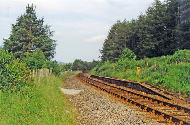
Grange railway station (Scotland)

Grange railway station was a railway station in the parish of Grange, historically in Banffshire (although currently in Moray). Opened in 1856 by the...

Grange, Moray

Grange is a parish in the Scottish county of Banffshire that dates back to a royal charter granting the lands to the abbots and monks of Kinloss in 1196...
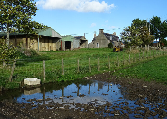
Farmtown

Farmtown is a village in the Moray council area of Scotland. Farmtown lies on the junction of the A95 and B9117 roads east of the town of Keith.

Cairnie Junction railway station

Cairnie Junction railway station served the village of Cairnie, Aberdeenshire, Scotland from 1898 to 1968 on the Great North of Scotland Railway. ��2...

Millegin railway station

Millegin railway station, Millagan railway station or later Millegin Siding was briefly an intermediate stop situated on what became the Great North of...

Daugh Castle

Daugh Castle was a castle, about 5 miles (8.0 km) north of Huntly, Aberdeenshire, Scotland, near Cairnie Burn. It was also known as Castle of the Daach...

Newmill

Newmill is a planned village 2 kilometres (1.2 mi) north of the town of Keith in the Moray council area of north-east Scotland. The resident population...

Keith Grammar School

Keith Grammar School is a secondary school in, Moray, Scotland. It was built in 1965 by the Educational Committee of Banffshire County Council. As of September...

Nearby Amenities

Located within 500m of 57.555283,-2.8639577
Power: pole
Lat/Long: 57.5522816/-2.8699862
Power: pole
Lat/Long: 57.5523772/-2.8687364
Power: pole
Lat/Long: 57.5524404/-2.8677371
Power: pole
Lat/Long: 57.5525343/-2.8665356
Power: pole
Lat/Long: 57.5526056/-2.8654186
Power: pole
Lat/Long: 57.5526785/-2.8643076
Power: pole
Lat/Long: 57.5527432/-2.8631483
Power: pole
Lat/Long: 57.5527999/-2.8624298
Power: pole
Lat/Long: 57.5528518/-2.8617204
Power: pole
Lat/Long: 57.5529263/-2.8598426
Power: pole
Lat/Long: 57.552949/-2.8585897
Power: pole
Lat/Long: 57.5529603/-2.8574576
Power: pole
Lat/Long: 57.5534964/-2.8577173
Power: pole
Lat/Long: 57.5540439/-2.8579829
Power: pole
Lat/Long: 57.5545314/-2.8582184
Power: pole
Lat/Long: 57.5549622/-2.8592509
Power: pole
Lat/Long: 57.5553914/-2.8602169
Power: pole
Lat/Long: 57.55584/-2.8611739
Power: pole
Lat/Long: 57.5561607/-2.8619226
Power: pole
Lat/Long: 57.5564555/-2.8626019
Power: pole
Lat/Long: 57.556734/-2.8632661
Power: pole
Lat/Long: 57.5570126/-2.8639151
Power: pole
Lat/Long: 57.5572798/-2.8645823
Power: pole
Lat/Long: 57.5515335/-2.8597163
Power: pole
Lat/Long: 57.551882/-2.8600278
Power: pole
Lat/Long: 57.5522265/-2.8603363
Power: pole
Lat/Long: 57.5525702/-2.8606359
Power: pole
Lat/Long: 57.5529046/-2.8610522
The data included in this document is from www.openstreetmap.org. The data is made available under ODbL.

Have you been to Boglogie Wood?

Leave your review of Boglogie Wood below (or comments, questions and feedback).