North Strip
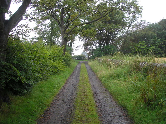
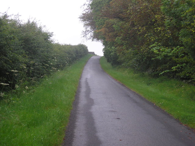
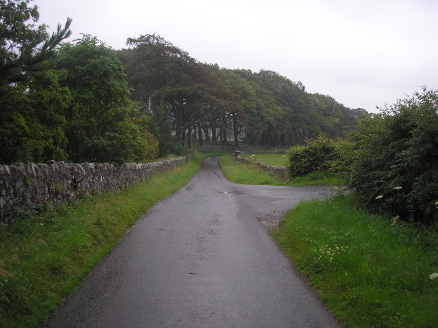
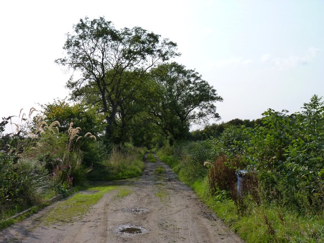
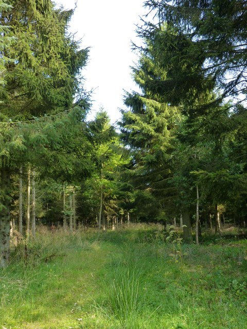
Wood, Forest in Fife
Scotland
North Strip
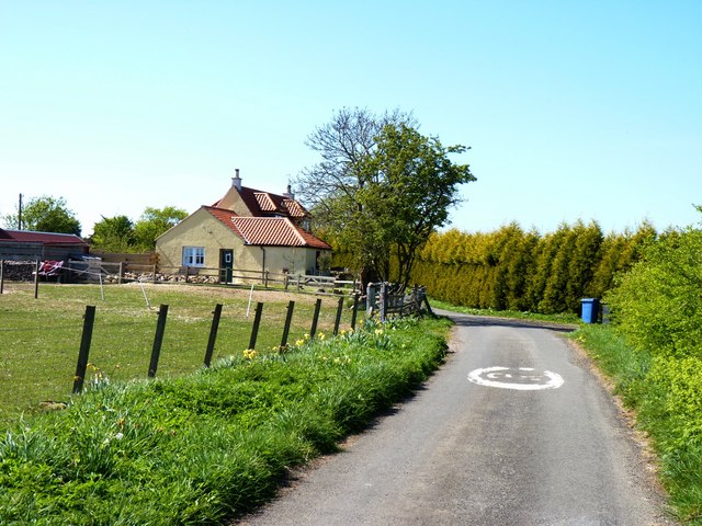
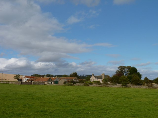
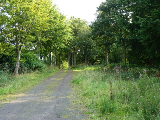
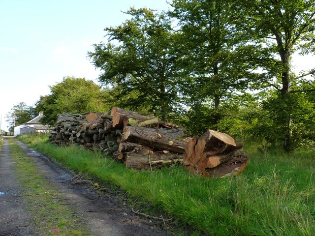
North Strip is a small residential area located in Fife, a historic county in Scotland. Situated in the southern part of the county, North Strip is surrounded by woodlands and forests, adding to its natural beauty. The community is part of the larger village of Strathmiglo and is known for its peaceful atmosphere and picturesque surroundings.
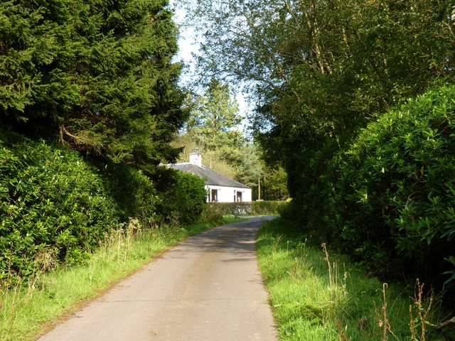
The area is primarily residential, consisting of a mix of traditional stone-built houses and newer modern homes. The architecture reflects the charm of rural Scotland, with many properties featuring traditional elements such as slate roofs and large gardens. The community is well-maintained, with neatly trimmed hedges and vibrant flowerbeds adding to the overall appeal.
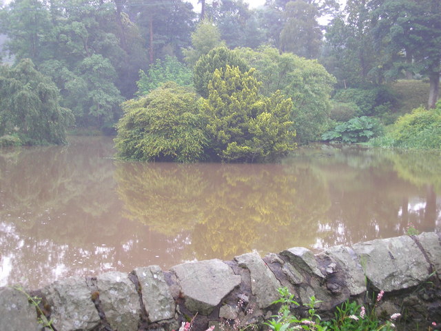
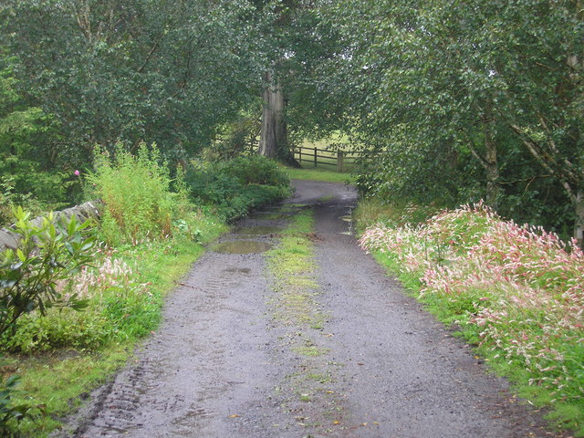
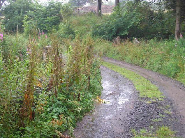
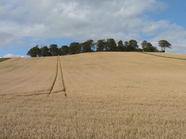
North Strip benefits from its proximity to several outdoor recreational areas. Nearby, residents can explore the Lomond Hills Regional Park, a popular destination for hiking, cycling, and wildlife spotting. The park offers stunning panoramic views of the surrounding countryside and is a haven for nature enthusiasts.
Although North Strip is a tranquil residential area, it offers easy access to essential amenities. The nearby village of Strathmiglo provides a range of services, including local shops, a primary school, and a post office. For additional amenities, the town of Cupar is a short drive away, boasting a wider variety of shops, supermarkets, and leisure facilities.
Overall, North Strip offers a serene and idyllic lifestyle in the heart of Fife. Its natural beauty, charming architecture, and convenient location make it an attractive place to call home for those seeking a peaceful retreat in the Scottish countryside.
If you have any feedback on the listing, please let us know in the comments section below.
North Strip Images
Images are sourced within 2km of 56.248769/-2.8344615 or Grid Reference NO4806. Thanks to Geograph Open Source API. All images are credited.


North Strip is located at Grid Ref: NO4806 (Lat: 56.248769, Lng: -2.8344615)
Unitary Authority: Fife
Police Authority: Fife
What 3 Words
///fruitcake.look.mass. Near St Monans, Fife
Nearby Locations
Related Wikis

Lathones
Lathones (/lə'θonz/) is a village in Fife, Scotland, located approximately six miles (10 km) south west of St Andrews, in the parish of Cameron in the...

Largoward
Largoward is a village in East Fife, Scotland, lying on the road from Leven to St Andrews in the Riggin o Fife, 4½ miles north-east of Lower Largo and...

Balcarres House
Balcarres House lies 1km north of the village of Colinsburgh, in the East Neuk of Fife, in eastern Scotland. It is centred on a mansion built in 1595...

Riggin o Fife
The Riggin o Fife is an upland area of Fife, Scotland which runs eastward from the Markinch Gap and the Howe of Fife to form the elevated hinterland to...
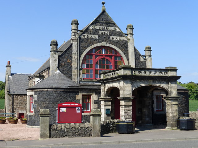
Colinsburgh Town Hall
Colinsburgh Town Hall is a municipal building in Main Street, Colinsburgh, Fife, Scotland. The building is used as a community events venue. == History... ==

Colinsburgh
Colinsburgh is a village in east Fife, Scotland, in the parish of Kilconquhar. == History == The village is named after Colin Lindsay, 3rd Earl of Balcarres...

Arncroach
Arncroach is a small village situated in the east of Fife, four miles inland of the fishing village of Pittenweem and around 10 miles away from St Andrews...

Charleton House
Charleton House is located in the East Neuk of Fife, eastern Scotland. It lies around 1.5 kilometres (0.93 mi) west of Colinsburgh, and 5 kilometres (3...
Have you been to North Strip?
Leave your review of North Strip below (or comments, questions and feedback).