Gallowhill Wood

Wood, Forest in Banffshire

Scotland

Gallowhill Wood

Strathisla to Meikle Balloch A view of Strathisla , by Cantly, to the hill of Meikle Balloch beyond.
Strathisla to Meikle Balloch Credit: Andrew Wood

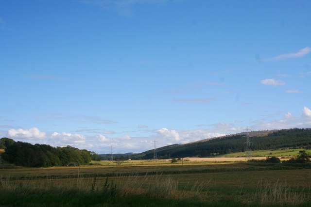
Gallowhill Wood is a picturesque forest located in Banffshire, a historic county in northeastern Scotland. Situated on the outskirts of the town of Banff, this woodland covers an area of approximately 50 acres and offers a stunning natural retreat for visitors and locals alike.

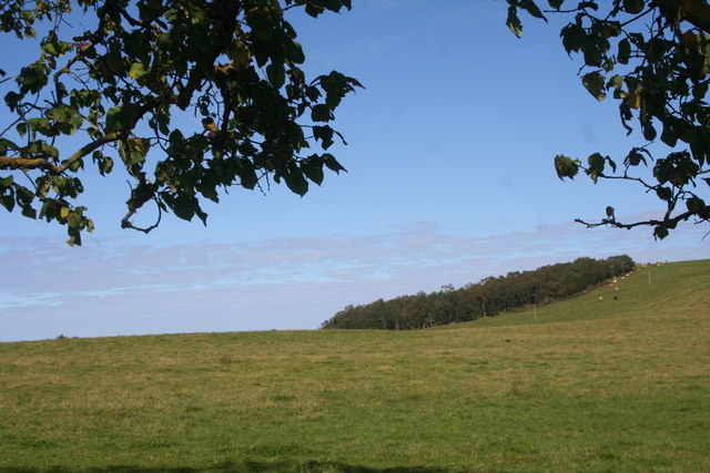
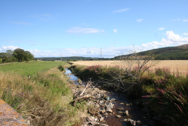
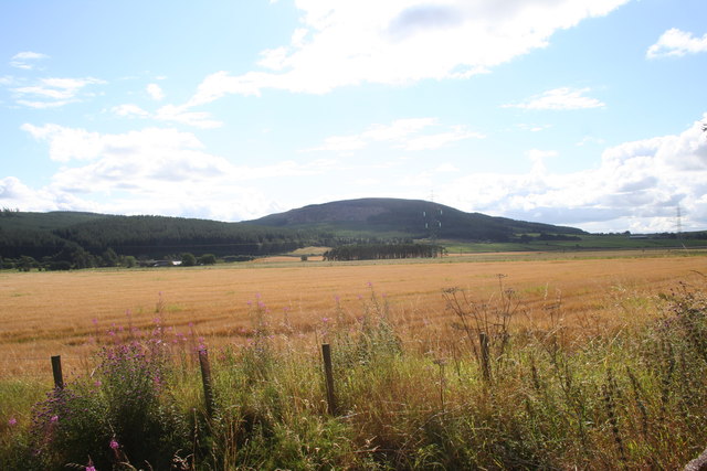
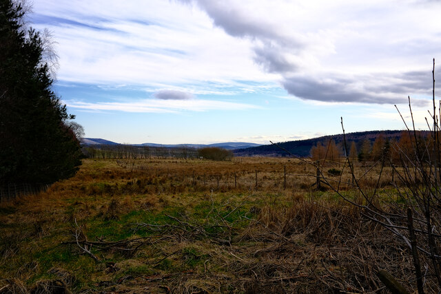
The forest is predominantly composed of native Scottish tree species, including oak, birch, and pine. The dense canopy created by these trees provides a cool and shady environment, making it a perfect spot for leisurely walks during the summer months. The forest floor is carpeted with a rich variety of wildflowers, adding bursts of color to the landscape.

Gallowhill Wood is home to a diverse range of wildlife, making it a popular destination for nature enthusiasts and birdwatchers. Visitors may have the opportunity to spot woodland creatures such as red squirrels, badgers, and roe deer. The forest is also known for its avian population, with species such as the great spotted woodpecker, tawny owl, and chaffinch making their homes within the woodland.

Several well-marked trails wind through Gallowhill Wood, allowing visitors to explore its beauty at their own pace. These paths offer stunning vistas of the surrounding countryside and provide an opportunity to immerse oneself in the tranquility of nature. Whether it's a leisurely stroll or a more vigorous hike, Gallowhill Wood offers something for everyone.

Overall, Gallowhill Wood in Banffshire is a captivating forest that showcases the natural beauty of the Scottish countryside. With its diverse flora and fauna, it provides a serene and peaceful environment for visitors to reconnect with nature.

If you have any feedback on the listing, please let us know in the comments section below.

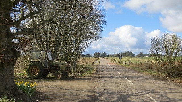
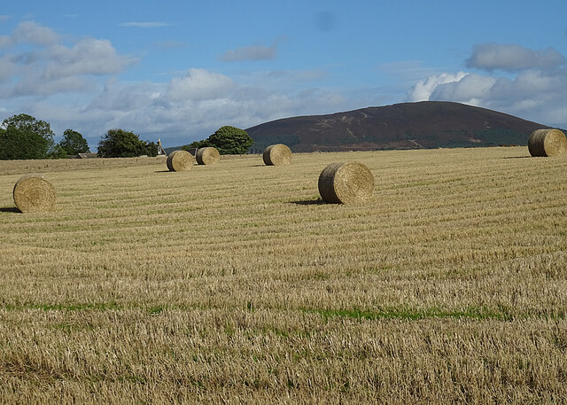
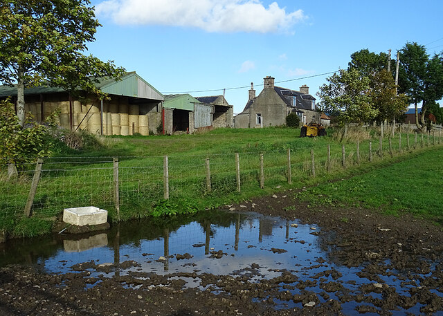
Gallowhill Wood Images

Images are sourced within 2km of 57.56023/-2.8695737 or Grid Reference NJ4852. Thanks to Geograph Open Source API. All images are credited.

Strathisla to Meikle Balloch A view of Strathisla , by Cantly, to the hill of Meikle Balloch beyond.
Strathisla to Meikle Balloch
A view of Strathisla , by Cantly, to the hill of Meikle Balloch beyond.
The Strath Farmland and woodland in Strathisla with Little Balloch Hill in the distance on the right.
The Strath
Farmland and woodland in Strathisla with Little Balloch Hill in the distance on the right.
Haughs of Grange Grassland A grass field by Haughs of Grange with Balloch Wood behind.
Haughs of Grange Grassland
A grass field by Haughs of Grange with Balloch Wood behind.
Burn Of Braco The Burn of Braco near Thornton from Braco Bridge.
Burn Of Braco
The Burn of Braco near Thornton from Braco Bridge.
Braco Fields Grain fields by Braco.
Braco Fields
Grain fields by Braco.
Roadside Trees A tree lined road by Bridge of Braco.
Roadside Trees
A tree lined road by Bridge of Braco.
Ordnance Survey  Flush Bracket S7110 This can be found on the wall of St Ninians Church.
For more detail see : <span class="nowrap"><a title="http://www.bench-marks.org.uk/bm20966" rel="nofollow ugc noopener" href="http://www.bench-marks.org.uk/bm20966">Link</a><img style="margin-left:2px;" alt="External link" title="External link - shift click to open in new window" src="https://s1.geograph.org.uk/img/external.png" width="10" height="10"/></span>
Ordnance Survey Flush Bracket S7110
This can be found on the wall of St Ninians Church. For more detail see : LinkExternal link
Grange Crossroads The B9018 Cullen to Keith road.
Grange Crossroads
The B9018 Cullen to Keith road.
Bogs of Paithnick This is the entrance to Bogs of Paithnick.
Bogs of Paithnick
This is the entrance to Bogs of Paithnick.
Bales at Crannach The extensive buildings at Mains of Crannach are almost completely hidden by the lie of the land, but there is an unobstructed view to Knock Hill.
Bales at Crannach
The extensive buildings at Mains of Crannach are almost completely hidden by the lie of the land, but there is an unobstructed view to Knock Hill.
Gordonstown One of many farms named Gordonstown, this one is in the davoch of Grange.
Gordonstown
One of many farms named Gordonstown, this one is in the davoch of Grange.
Fields of Sheep The sheep in the foreground field are tups of various breeds, waiting to be let loose among the ewes, of which there are plenty in nearby fields.
Fields of Sheep
The sheep in the foreground field are tups of various breeds, waiting to be let loose among the ewes, of which there are plenty in nearby fields.
Corn Sow-thistle (Sonchus arvensis) These showy flowers, also known as Perennial Sow-thistle, line the roadside here in late summer and early autumn.
Corn Sow-thistle (Sonchus arvensis)
These showy flowers, also known as Perennial Sow-thistle, line the roadside here in late summer and early autumn.
Bush Vetch (Vicia sepium) A few late flowers on the roadside verge.
Bush Vetch (Vicia sepium)
A few late flowers on the roadside verge.
Gallowhill edge The edge of Gallowhill wood looking over the fields
Gallowhill edge
The edge of Gallowhill wood looking over the fields
Layby on the A95 View from a layby on the A95
Layby on the A95
View from a layby on the A95
Balloch View This row of houses does indeed have a fine view of Meikle Balloch.
Balloch View
This row of houses does indeed have a fine view of Meikle Balloch.
Boundary Ditch A drainage ditch forms the boundary betweena field of barley on the left, and a field of grass on the right. The hill in the distance is Meikle Balloch.
Boundary Ditch
A drainage ditch forms the boundary betweena field of barley on the left, and a field of grass on the right. The hill in the distance is Meikle Balloch.
Show me another place!

Gallowhill Wood is located at Grid Ref: NJ4852 (Lat: 57.56023, Lng: -2.8695737)

Unitary Authority: Moray

Police Authority: North East

What 3 Words

///equivocal.flying.save. Near Keith, Moray

Related Wikis

Grange railway station (Scotland)

Grange railway station was a railway station in the parish of Grange, historically in Banffshire (although currently in Moray). Opened in 1856 by the...

Grange, Moray

Grange is a parish in the Scottish county of Banffshire that dates back to a royal charter granting the lands to the abbots and monks of Kinloss in 1196...

Farmtown

Farmtown is a village in the Moray council area of Scotland. Farmtown lies on the junction of the A95 and B9117 roads east of the town of Keith.

Cairnie Junction railway station

Cairnie Junction railway station served the village of Cairnie, Aberdeenshire, Scotland from 1898 to 1968 on the Great North of Scotland Railway. ��2...

Millegin railway station

Millegin railway station, Millagan railway station or later Millegin Siding was briefly an intermediate stop situated on what became the Great North of...

Newmill

Newmill is a planned village 2 kilometres (1.2 mi) north of the town of Keith in the Moray council area of north-east Scotland. The resident population...

Keith Grammar School

Keith Grammar School is a secondary school in, Moray, Scotland. It was built in 1965 by the Educational Committee of Banffshire County Council. As of September...

Kynoch Park

Kynoch Park is a football ground in Keith in north-east Scotland, which is the home ground of Highland Football League side Keith F.C. It is located on...

Nearby Amenities

Located within 500m of 57.56023,-2.8695737
Power: pole
Lat/Long: 57.5570126/-2.8639151
Power: pole
Lat/Long: 57.5572798/-2.8645823
The data included in this document is from www.openstreetmap.org. The data is made available under ODbL.

Have you been to Gallowhill Wood?

Leave your review of Gallowhill Wood below (or comments, questions and feedback).