Menmuir Acres
Wood, Forest in Fife
Scotland
Menmuir Acres
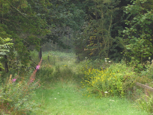
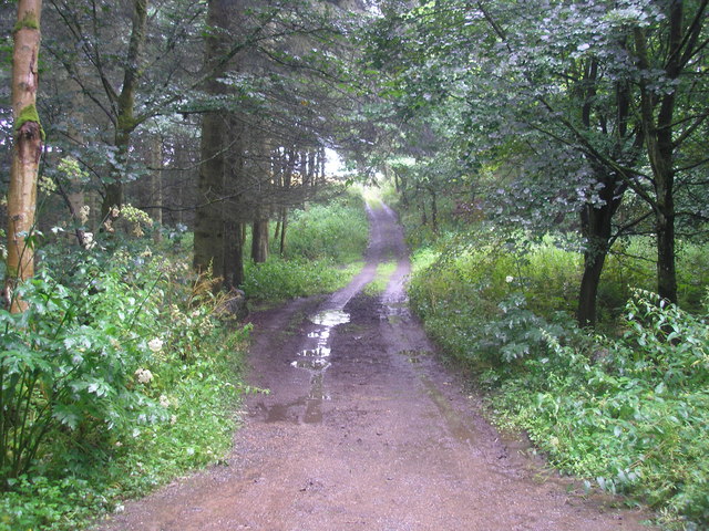
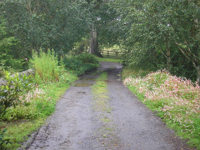
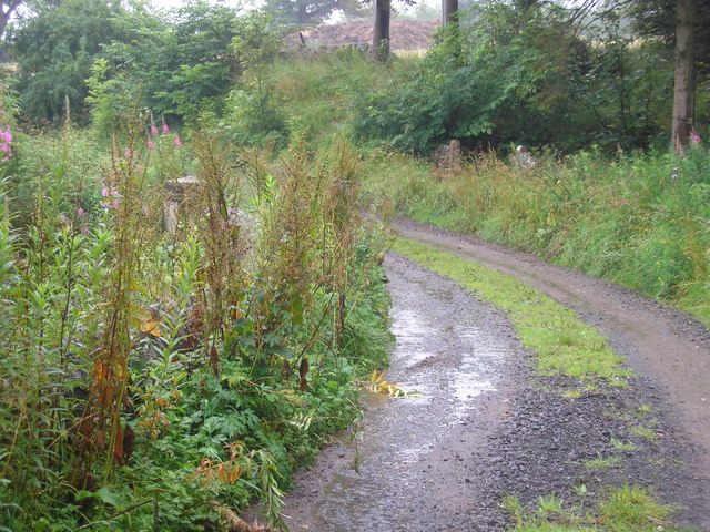
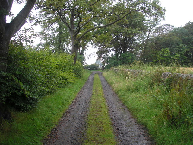
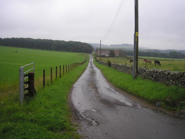
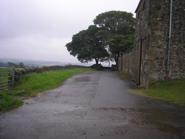
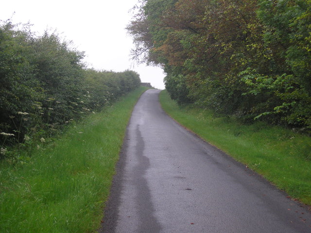
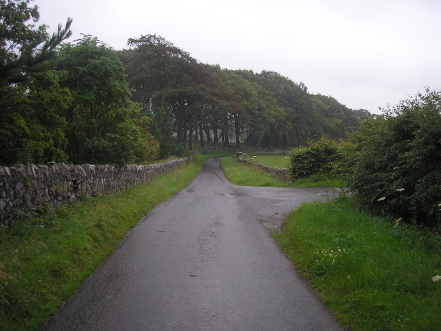
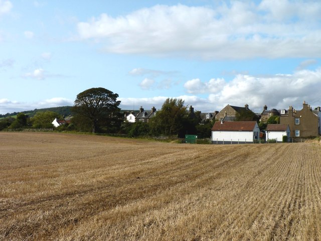
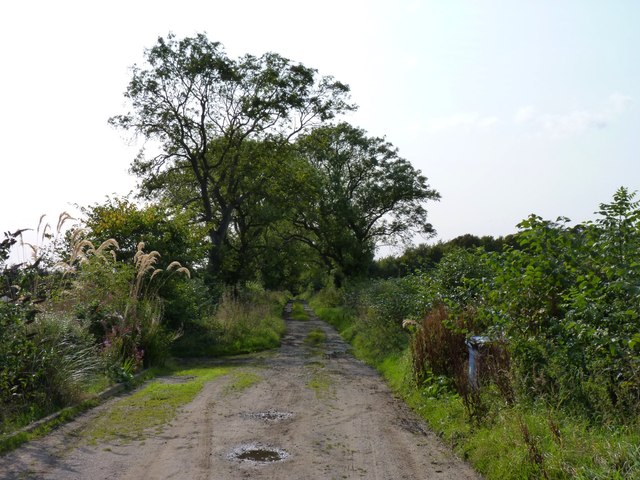
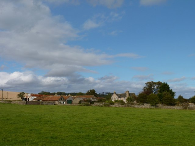
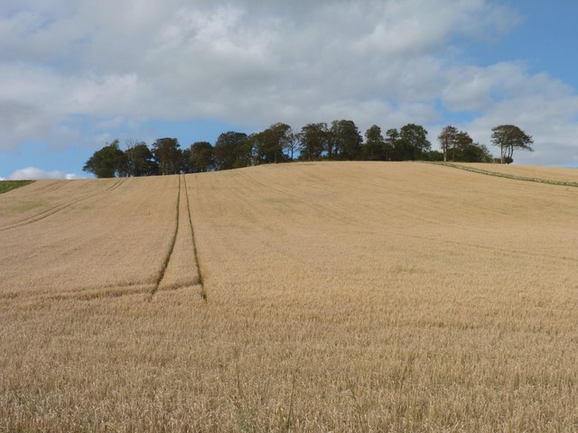
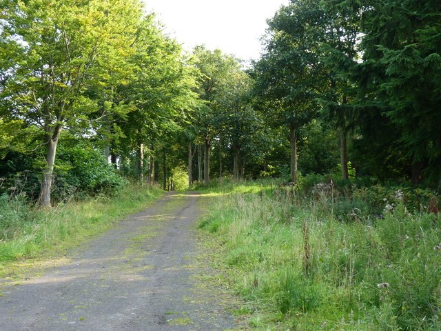
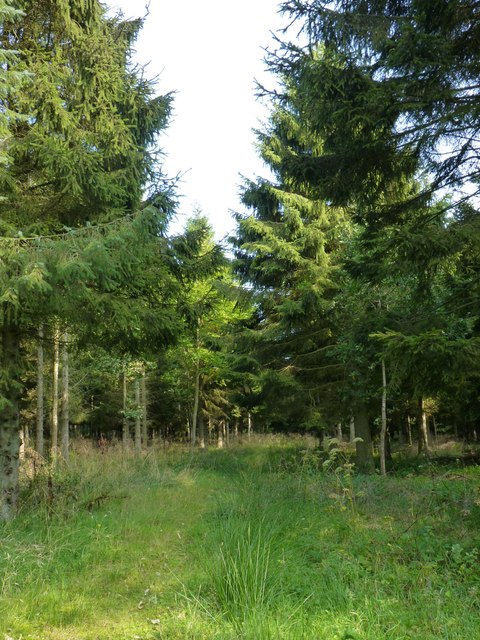
Menmuir Acres is a majestic woodland situated in the county of Fife, Scotland. Spanning over an expansive area, this enchanting forest is a nature lover's paradise, boasting a diverse range of flora and fauna. The acres are nestled amidst the picturesque countryside, offering a serene and tranquil environment for visitors to explore.
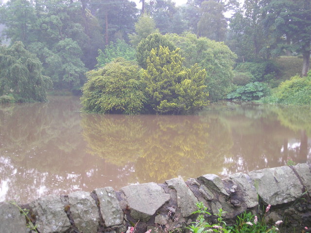
The woodland is primarily composed of native species, including towering oak, birch, and beech trees that form a dense canopy overhead. The forest floor is adorned with a rich carpet of mosses, ferns, and wildflowers, creating a vibrant and colorful undergrowth. The natural beauty of Menmuir Acres is further enhanced by the presence of a meandering stream that adds to the overall charm of the landscape.
The woodland is home to a variety of wildlife, with numerous bird species inhabiting the treetops, including woodpeckers, owls, and songbirds. Squirrels can be spotted darting among the branches, while rabbits and deer occasionally emerge from the depths of the forest. The peaceful ambiance of Menmuir Acres provides a haven for these creatures, allowing them to thrive undisturbed.
Visitors to Menmuir Acres can partake in a range of activities, from leisurely walks along the well-maintained trails to birdwatching and photography. The forest also offers opportunities for picnicking and camping, allowing visitors to immerse themselves fully in the natural surroundings.
The preservation of Menmuir Acres is of utmost importance, as it serves as a vital habitat for many species and contributes to the overall biodiversity of the region. Efforts are made to ensure the sustainable management of the woodland, allowing future generations to enjoy its splendor for years to come.
If you have any feedback on the listing, please let us know in the comments section below.
Menmuir Acres Images
Images are sourced within 2km of 56.233273/-2.8393189 or Grid Reference NO4804. Thanks to Geograph Open Source API. All images are credited.
Menmuir Acres is located at Grid Ref: NO4804 (Lat: 56.233273, Lng: -2.8393189)
Unitary Authority: Fife
Police Authority: Fife
What 3 Words
///unpacked.pixies.guises. Near St Monans, Fife
Nearby Locations
Related Wikis

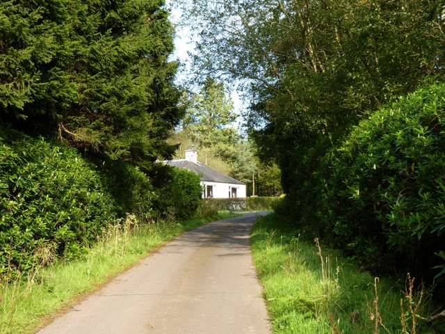
Balcarres House
Balcarres House lies 1km north of the village of Colinsburgh, in the East Neuk of Fife, in eastern Scotland. It is centred on a mansion built in 1595...
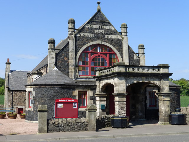
Colinsburgh Town Hall
Colinsburgh Town Hall is a municipal building in Main Street, Colinsburgh, Fife, Scotland. The building is used as a community events venue. == History... ==

Colinsburgh
Colinsburgh is a village in east Fife, Scotland, in the parish of Kilconquhar. == History == The village is named after Colin Lindsay, 3rd Earl of Balcarres...

Charleton House
Charleton House is located in the East Neuk of Fife, eastern Scotland. It lies around 1.5 kilometres (0.93 mi) west of Colinsburgh, and 5 kilometres (3...

Largoward
Largoward is a village in East Fife, Scotland, lying on the road from Leven to St Andrews in the Riggin o Fife, 4½ miles north-east of Lower Largo and...

Lathones
Lathones (/lə'θonz/) is a village in Fife, Scotland, located approximately six miles (10 km) south west of St Andrews, in the parish of Cameron in the...

Arncroach
Arncroach is a small village situated in the east of Fife, four miles inland of the fishing village of Pittenweem and around 10 miles away from St Andrews...
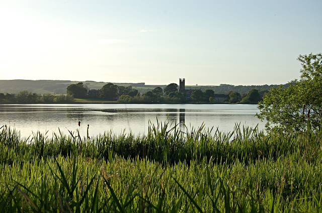
Kilconquhar Loch
Kilconquhar Loch is a Scottish freshwater loch. This small shallow loch is a Site of Special Scientific Interest (SSSI) and is located beside the village...
Nearby Amenities
Located within 500m of 56.233273,-2.8393189Have you been to Menmuir Acres?
Leave your review of Menmuir Acres below (or comments, questions and feedback).