Balcarres Den

Valley in Fife

Scotland

Balcarres Den

Entrance to Balcares estate The view of the gate at the start of a footpath from the main road at Colinsburgh which leads to one of the gatehouses <a href="https://www.geograph.org.uk/photo/414206">NO4705 : Gatehouse, Balniel</a> on the northern side of the estate.
Entrance to Balcares estate Credit: Sandy Gemmill

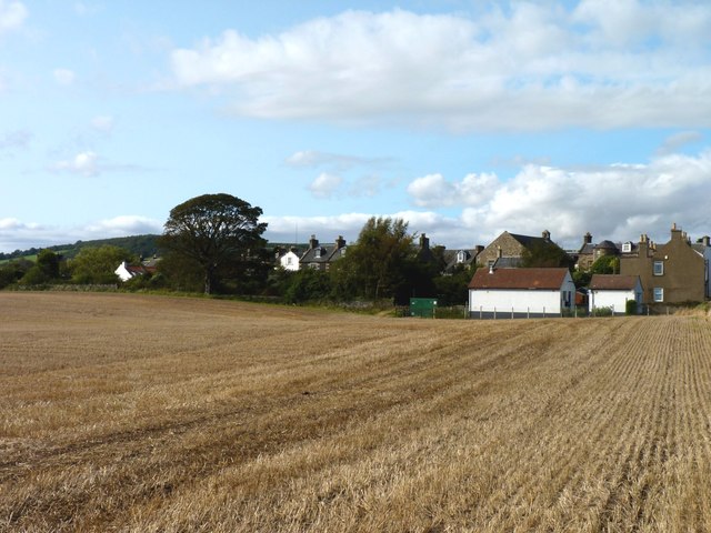
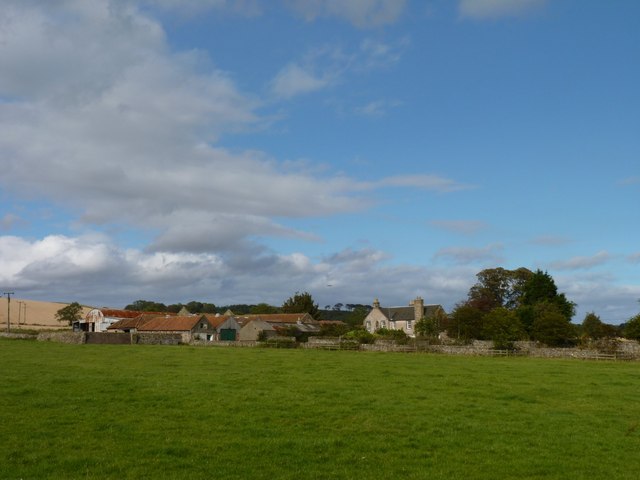
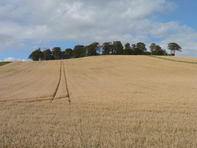
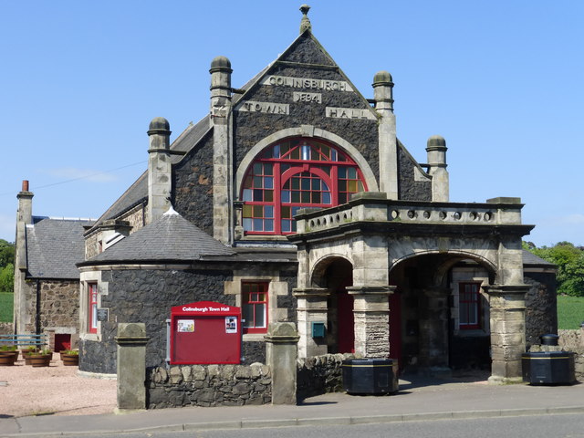
Balcarres Den is a picturesque valley located in Fife, Scotland. Nestled between the small towns of Colinsburgh and Earlsferry, it offers a tranquil and scenic retreat for nature lovers and outdoor enthusiasts. The den is part of the larger Balcarres Estate, which encompasses over 1,500 acres of woodlands, gardens, and farmland.

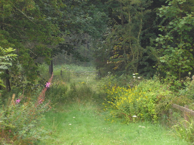
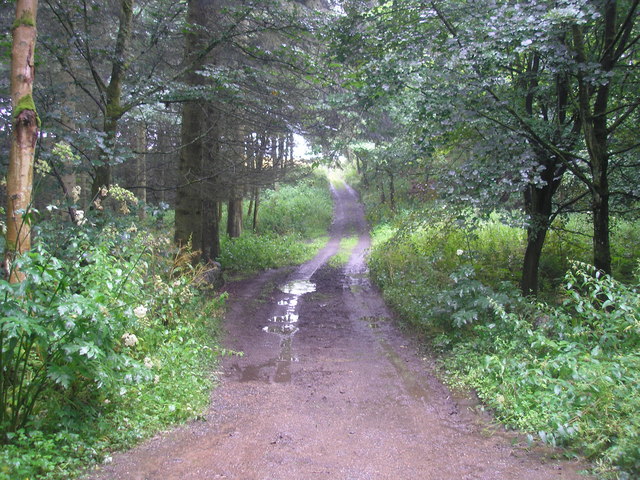
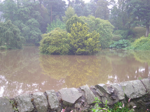
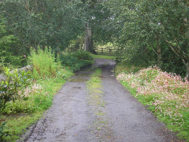
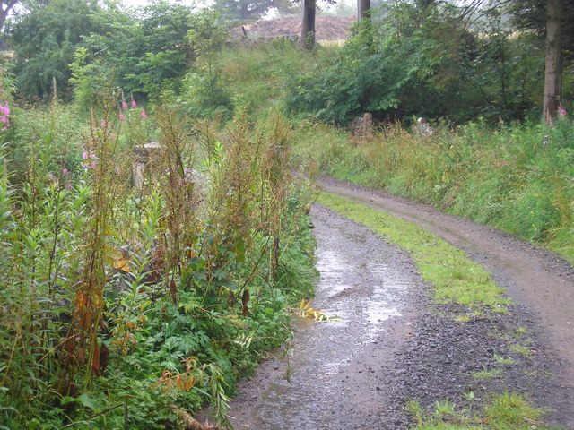
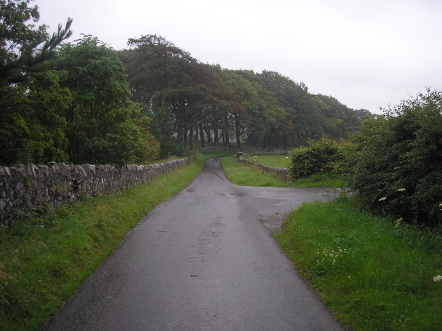
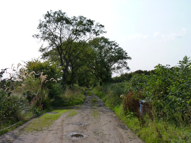
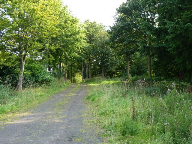
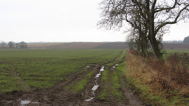
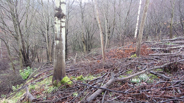
The den itself is characterized by a meandering river, known as the Mill Burn, which runs through the valley. Lined with beautiful trees and foliage, the river creates a serene atmosphere that is further enhanced by the presence of numerous small waterfalls and cascades. Visitors can enjoy the soothing sound of running water while exploring the well-maintained walking paths that crisscross the area.

In addition to its natural beauty, Balcarres Den is home to an array of wildlife. Birdwatchers can spot a variety of species, including woodpeckers, kingfishers, and owls, while those with a keen eye may even catch a glimpse of red squirrels or roe deer. The den also boasts an impressive collection of plant life, with bluebells, primroses, and ferns adorning the woodland floor.

For history enthusiasts, Balcarres Den offers a glimpse into the past. The area is dotted with remnants of the region's industrial past, including the ruins of a watermill and a former flax mill. These structures serve as a reminder of the area's rich heritage and provide a unique backdrop for exploration.

Overall, Balcarres Den is a hidden gem within the Fife countryside. Its natural beauty, diverse wildlife, and historical significance make it a must-visit destination for those seeking a peaceful escape and a connection to the region's past.

If you have any feedback on the listing, please let us know in the comments section below.

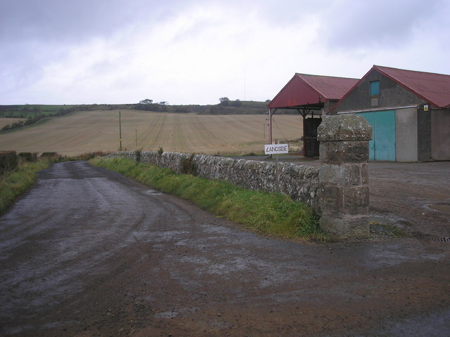
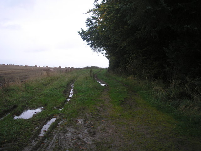
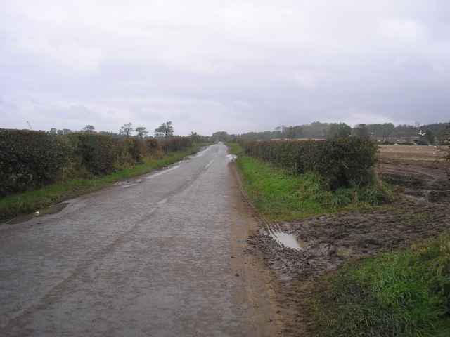
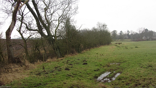
Balcarres Den Images

Images are sourced within 2km of 56.228511/-2.8273274 or Grid Reference NO4804. Thanks to Geograph Open Source API. All images are credited.

Entrance to Balcares estate The view of the gate at the start of a footpath from the main road at Colinsburgh which leads to one of the gatehouses <a href="https://www.geograph.org.uk/photo/414206">NO4705 : Gatehouse, Balniel</a> on the northern side of the estate.
Entrance to Balcares estate
The view of the gate at the start of a footpath from the main road at Colinsburgh which leads to one of the gatehouses NO4705 : Gatehouse, Balniel on the northern side of the estate.
Estate Track The estate track which crosses the burn/stream which flows through Balcares estate.
Estate Track
The estate track which crosses the burn/stream which flows through Balcares estate.
Mill pond The view of the mill pond as seen from the footbridge which crosses the river/stream which flows through the estate.
Mill pond
The view of the mill pond as seen from the footbridge which crosses the river/stream which flows through the estate.
Bridge over the river at the entrance to the mill pond The view of the bridge which crosses the Den Burn at the entrance to the mill pond <a href="https://www.geograph.org.uk/photo/2537731">NO4704 : Mill pond</a>.
Bridge over the river at the entrance to the mill pond
The view of the bridge which crosses the Den Burn at the entrance to the mill pond NO4704 : Mill pond.
Bridge over the Den Burn
Road junction The view of a junction on the private road through the Balcarres Estate.  The road on the right leads to Rires.
Road junction
The view of a junction on the private road through the Balcarres Estate. The road on the right leads to Rires.
Colinsburgh across the stubble The village seen from the Kilconquhar road.
Colinsburgh across the stubble
The village seen from the Kilconquhar road.
Track to Balcarres Den Footpath leading down into the wooded glen known as Balcarres Den.
Track to Balcarres Den
Footpath leading down into the wooded glen known as Balcarres Den.
Balmakin Farm
Balmakin Farm
Trees beyond the barley Trees on top of the hill known as Kilbrackmont Knock.
Trees beyond the barley
Trees on top of the hill known as Kilbrackmont Knock.
Forest track Leading towards Menmuir.
Forest track
Leading towards Menmuir.
Timber pile Near Broad Lands cottage.
Timber pile
Near Broad Lands cottage.
Entrance to Longside at Belliston The entrance to Longside <a href="https://www.geograph.org.uk/photo/201555">NO4905 : Longside, Bellistone</a>.  Interestingly the sign describes the farm as "Langside".
Entrance to Longside at Belliston
The entrance to Longside NO4905 : Longside, Bellistone. Interestingly the sign describes the farm as "Langside".
Farm track The view of a farm track which leads from/to the main road (B941).
Farm track
The view of a farm track which leads from/to the main road (B941).
Minor road from Arncroach to Balcarres Estate The view of the minor road from Arncroach.
Minor road from Arncroach to Balcarres Estate
The view of the minor road from Arncroach.
A grass field Grass beside a small burn in a mainly arable landscape.
A grass field
Grass beside a small burn in a mainly arable landscape.
Arable land, Balmalkin The mapped path is a pair of tractor tyre prints.
Arable land, Balmalkin
The mapped path is a pair of tractor tyre prints.
Woodland, Balcarres Den Deciduous woodland on steep slopes running down to the Den Burn which becomes the Kilconquhar Burn and then exits to the Firth of Forth as the Cocklemill Burn.
Woodland, Balcarres Den
Deciduous woodland on steep slopes running down to the Den Burn which becomes the Kilconquhar Burn and then exits to the Firth of Forth as the Cocklemill Burn.
Show me another place!

Balcarres Den is located at Grid Ref: NO4804 (Lat: 56.228511, Lng: -2.8273274)

Unitary Authority: Fife

Police Authority: Fife

What 3 Words

///helper.hockey.century. Near St Monans, Fife

Related Wikis

Nearby Amenities

Located within 500m of 56.228511,-2.8273274
Power: pole
Lat/Long: 56.2240546/-2.8276017
Power: pole
Lat/Long: 56.2247376/-2.8278055
Location: pole
Power: transformer
Lat/Long: 56.225422/-2.8280335
Power: pole
Lat/Long: 56.2328386/-2.8277657
Power: pole
Lat/Long: 56.2323767/-2.8277725
Power: pole
Lat/Long: 56.2322624/-2.828066
Power: pole
Lat/Long: 56.2325612/-2.8272124
Power: pole
Lat/Long: 56.2328235/-2.8264649
The data included in this document is from www.openstreetmap.org. The data is made available under ODbL.

Have you been to Balcarres Den?

Leave your review of Balcarres Den below (or comments, questions and feedback).