Murder Cleugh

Valley in Roxburghshire

Scotland

Murder Cleugh

Longpark Wind Farm This telephoto shot was taken from the summit of Eildon Mid Hill on a calm November morning when valley fog persisted for most of the day.
Longpark Wind Farm Credit: Walter Baxter

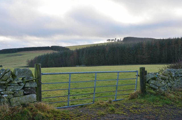
Murder Cleugh, located in Roxburghshire, is a picturesque valley nestled within the Scottish Borders region of Scotland. The valley is characterized by its stunning natural beauty, with rolling hills, lush greenery, and a meandering stream that runs through its center. Its name, Murder Cleugh, may seem ominous, but it actually derives from the Scottish Gaelic word "mordair," meaning "thief" or "robber."

The area is rich in history and has been inhabited since ancient times. Evidence of Bronze Age settlements and Iron Age forts have been discovered in the vicinity, indicating a long-standing human presence. The valley also played a significant role in the border conflicts between Scotland and England, with several skirmishes and battles taking place in its vicinity.

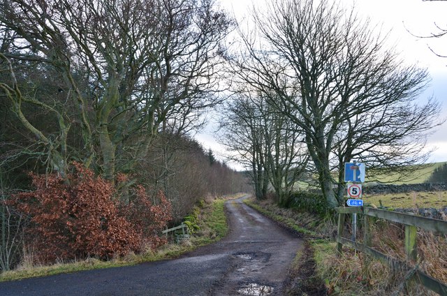
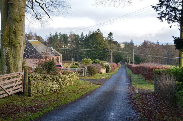
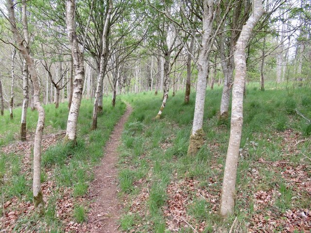
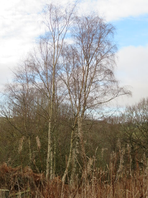
Today, Murder Cleugh is a popular destination for nature enthusiasts and outdoor adventurers. The valley offers a range of activities such as hiking, cycling, and birdwatching, with numerous trails and paths crisscrossing the area. The diverse flora and fauna, including native species like red squirrels and golden eagles, add to the allure of the valley.

Visitors to Murder Cleugh can also explore the nearby attractions, including historic castles, such as Floors Castle and Melrose Abbey. The charming town of Melrose is just a short drive away, offering a variety of amenities, shops, and eateries.

Murder Cleugh, with its captivating landscapes and intriguing history, provides an idyllic escape for those seeking tranquility and a connection with nature in the heart of the Scottish Borders.

If you have any feedback on the listing, please let us know in the comments section below.

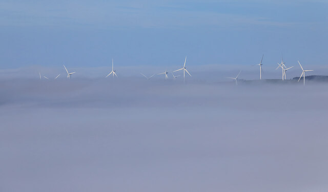
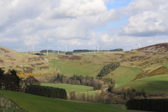
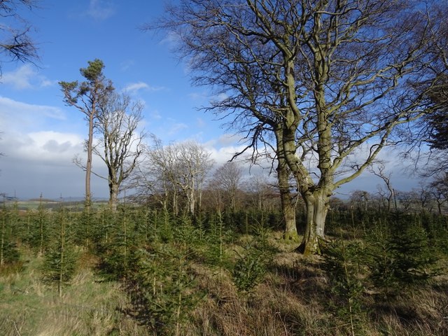
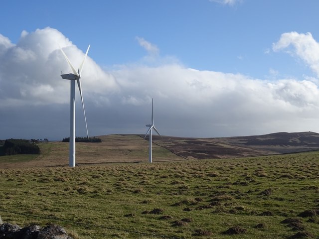
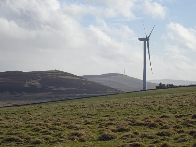
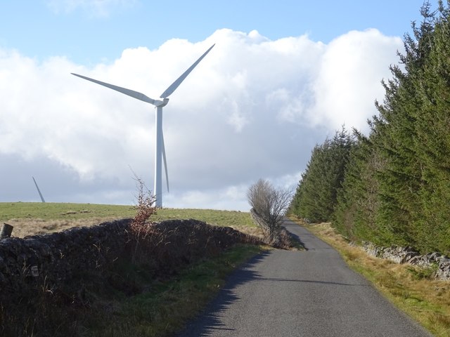
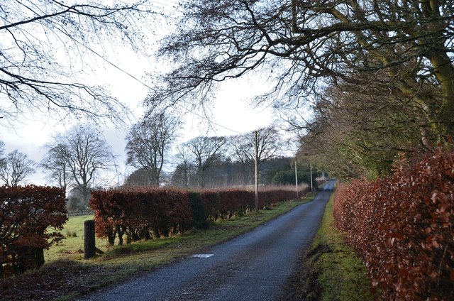
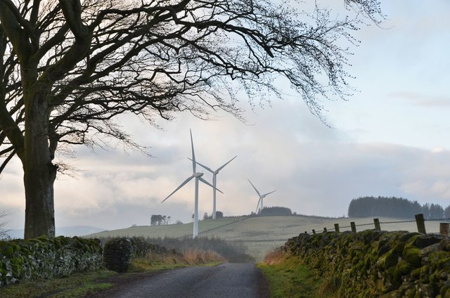
Murder Cleugh Images

Images are sourced within 2km of 55.664783/-2.8156771 or Grid Reference NT4841. Thanks to Geograph Open Source API. All images are credited.

Longpark Wind Farm This telephoto shot was taken from the summit of Eildon Mid Hill on a calm November morning when valley fog persisted for most of the day.
Longpark Wind Farm
This telephoto shot was taken from the summit of Eildon Mid Hill on a calm November morning when valley fog persisted for most of the day.
Longpark Wind Farm Photographed from the Clovenfords to Fountainhall road
Longpark Wind Farm
Photographed from the Clovenfords to Fountainhall road
Hareshawhead Plantation This bit of the wood  <a href="https://www.geograph.org.uk/photo/4202787">NT4842 : Clear felled area,  Hareshawhead Plantation</a> nearly five years on. A new crop of trees is getting established.
Hareshawhead Plantation
This bit of the wood NT4842 : Clear felled area, Hareshawhead Plantation nearly five years on. A new crop of trees is getting established.
Longpark Wind Farm On the ridge southeast of Stow.
Longpark Wind Farm
On the ridge southeast of Stow.
Turbine, Longpark Wind Farm With Meigle Hill in the background.
Turbine, Longpark Wind Farm
With Meigle Hill in the background.
Stow to Wooplaw road Passing the Longpark Wind Farm and Hareshawhead Plantation.
Stow to Wooplaw road
Passing the Longpark Wind Farm and Hareshawhead Plantation.
Road to Stow, Wooplaw The minor road through farmland bordering Longpark windfarm.
Road to Stow, Wooplaw
The minor road through farmland bordering Longpark windfarm.
Crest of the road at Wooplaw The road to Stow reaches 316m by the farm, here giving a view to the southernmost row of turbines in the Longpark wind farm.
Crest of the road at Wooplaw
The road to Stow reaches 316m by the farm, here giving a view to the southernmost row of turbines in the Longpark wind farm.
Farmland and plantations near Wooplaw Fields to the south of the minor road to Stow.
Farmland and plantations near Wooplaw
Fields to the south of the minor road to Stow.
Track to Hawksnest and Ladhopemuir The track passes Hawksnest farm and crosses farmland SSE to meet a minor road at Ladhopemuir north of Galashiels.
Track to Hawksnest and Ladhopemuir
The track passes Hawksnest farm and crosses farmland SSE to meet a minor road at Ladhopemuir north of Galashiels.
Wooplaw farm The name comes from the Norse 'uplaw' meaning a shallow valley at the top of a hill (from the information board at the Community Woodland). It is certainly on top of a hill as the land here is around 310m.
Wooplaw farm
The name comes from the Norse 'uplaw' meaning a shallow valley at the top of a hill (from the information board at the Community Woodland). It is certainly on top of a hill as the land here is around 310m.
Road east of Wooplaw The road meets the Langlee to Lauder road about 1km E of here.
Road east of Wooplaw
The road meets the Langlee to Lauder road about 1km E of here.
Path, Gullet Wood
Path, Gullet Wood
Birch tree in Gullet Wood Part of the Wooplaw Community Woodland.
Birch tree in Gullet Wood
Part of the Wooplaw Community Woodland.
Longpark wind farm from the air Viewed from a flight from Prague, heading for Edinburgh.
Longpark wind farm from the air
Viewed from a flight from Prague, heading for Edinburgh.
A road bridge over the Allan Water This small bridge carries the minor road to Wooplaw. Easterpark Plantation is behind.
A road bridge over the Allan Water
This small bridge carries the minor road to Wooplaw. Easterpark Plantation is behind.
Wind turbines at Halkburn The turbines were viewed from the road to Halkburn Farm.
Wind turbines at Halkburn
The turbines were viewed from the road to Halkburn Farm.
Wetland, Allan Water While much of the upland between the Gala Water and Leader Water is good farmland, there are still some areas of bog and wetland in the hollows. The woodland is part of Wooplaw Community Woodland, which was celebrating its 25th anniversary at this time.
Wetland, Allan Water
While much of the upland between the Gala Water and Leader Water is good farmland, there are still some areas of bog and wetland in the hollows. The woodland is part of Wooplaw Community Woodland, which was celebrating its 25th anniversary at this time.
Show me another place!

Murder Cleugh is located at Grid Ref: NT4841 (Lat: 55.664783, Lng: -2.8156771)

Unitary Authority: The Scottish Borders

Police Authority: The Lothians and Scottish Borders

What 3 Words

///domain.official.clip. Near Galashiels, Scottish Borders

Nearby Locations

Murder Cleugh

Related Wikis

Allanshaws

Allanshaws is a place and farm off the B6362, in Lauderdale, by the Allan Water, in the parish of Melrose in the Scottish Borders area of Scotland, formerly...

Bow Castle Broch

Bow Castle is the remains of an iron-age broch near the Gala Water, in the Scottish Borders area of Scotland, in the parish of Stow. It is a scheduled...

Buckholm

Buckholm is a farm near to the A7, in the Scottish Borders, Galashiels area of Scotland. Places nearby include Abbotsford, the Bow Castle Broch, Clovenfords...

Bowland railway station

Bowland railway station (Bowland Bridge between May 1849 and July 1862) was a railway station in the village of Bowland, near Galashiels, Scotland. Located...

Nearby Amenities

Located within 500m of 55.664783,-2.8156771
Generator Method: wind_turbine
Generator Output Electricity: 2 MW
Generator Source: wind
Generator Type: horizontal_axis
Height: 59
Manufacturer: Senvion
Operator: EDF Energy Renewables
Power: generator
Ref: T15
Rotor Diameter: 82
Start Date: 2009-11
Lat/Long: 55.6659317/-2.8197746
The data included in this document is from www.openstreetmap.org. The data is made available under ODbL.

Have you been to Murder Cleugh?

Leave your review of Murder Cleugh below (or comments, questions and feedback).