School Wood

Wood, Forest in Angus

Scotland

School Wood

Built-up area of Finavon along the A90 road This view is from the southbound (locally westbound) travel lanes of the A90 road.
Built-up area of Finavon along the A90 road Credit: C Michael Hogan

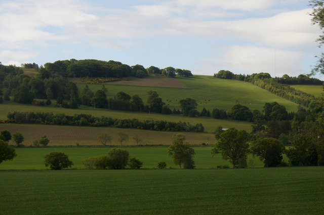
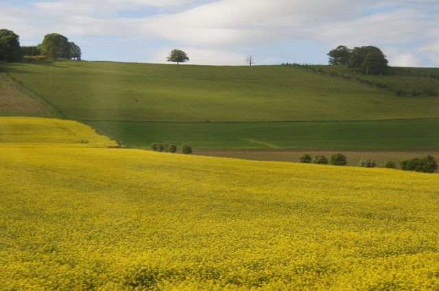
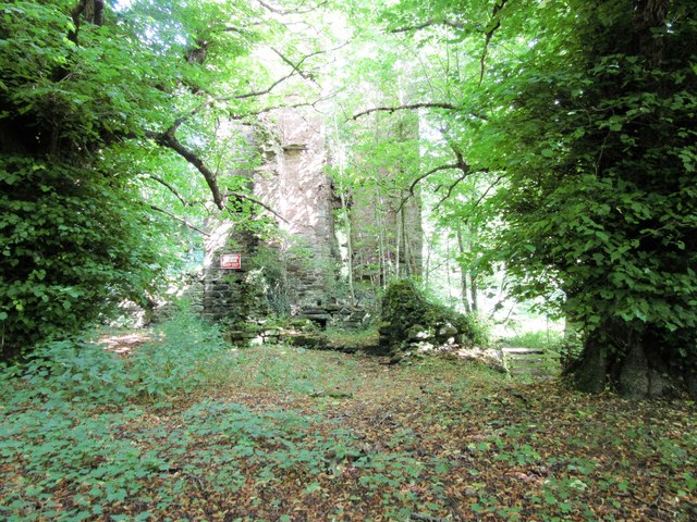
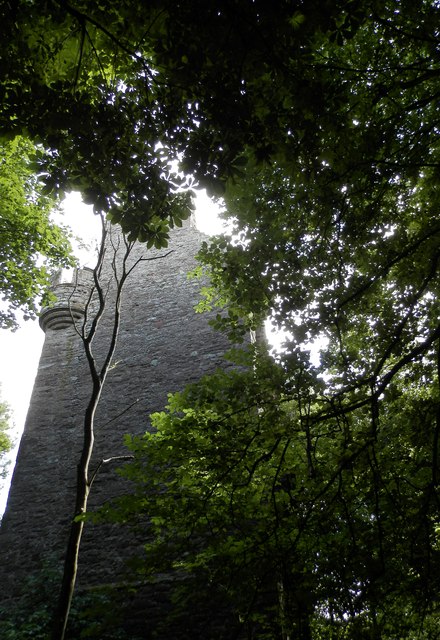
School Wood, Angus is a picturesque forest located in the county of Angus, Scotland. The wood is situated on the outskirts of a small village and covers an area of approximately 50 acres. It is known for its natural beauty and rich biodiversity, attracting nature enthusiasts and hikers from near and far.

The woodland is predominantly composed of native tree species such as oak, beech, and birch, which create a dense canopy and provide a habitat for numerous wildlife species. The forest floor is carpeted with a variety of wildflowers and ferns, adding to the enchanting atmosphere of the wood.

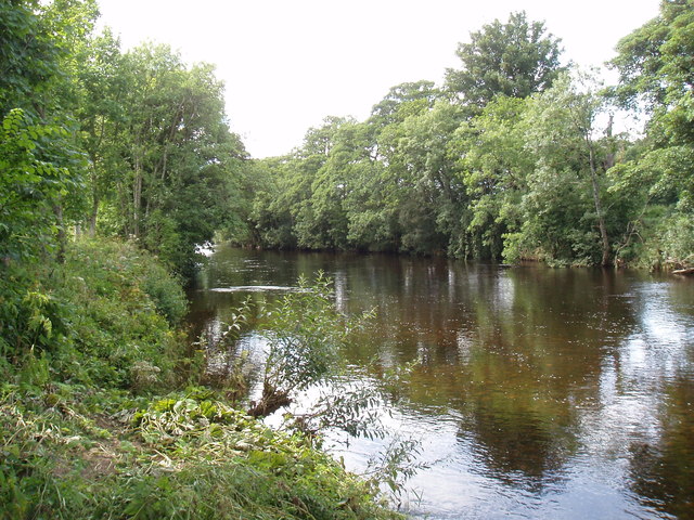
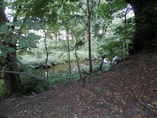
School Wood also boasts a network of well-maintained walking trails, allowing visitors to explore the natural wonders of the area. These trails vary in difficulty, catering to both casual strollers and more experienced hikers. Along the paths, visitors can discover hidden streams, small waterfalls, and secluded picnic spots, making it an ideal destination for families and outdoor enthusiasts.

The wood is also home to a diverse range of wildlife, including red squirrels, roe deer, and a variety of bird species such as woodpeckers and owls. It is a haven for birdwatchers, who can often spot rare and migratory birds within the forest's boundaries.

School Wood, Angus offers a serene and tranquil escape from the hustle and bustle of everyday life. Its natural beauty, well-maintained trails, and abundant wildlife make it a must-visit destination for nature lovers and those seeking a peaceful retreat in the heart of Angus, Scotland.

If you have any feedback on the listing, please let us know in the comments section below.
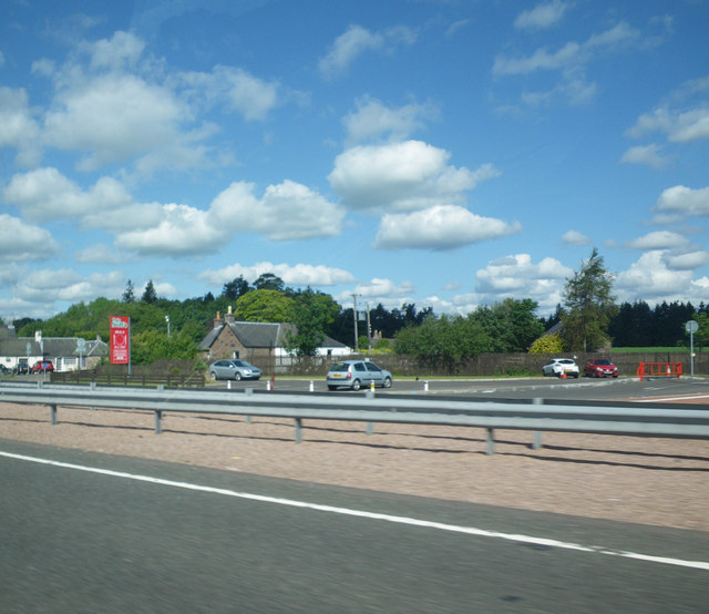
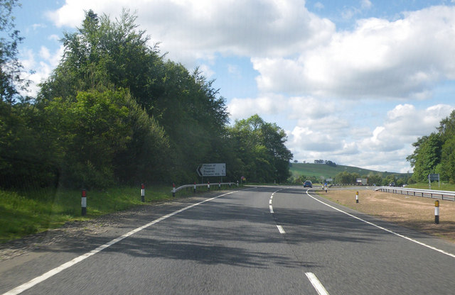
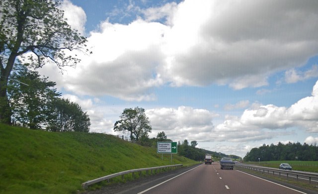
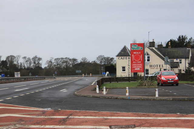
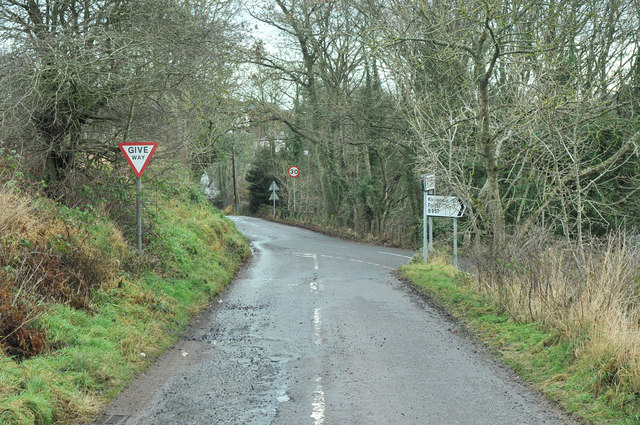
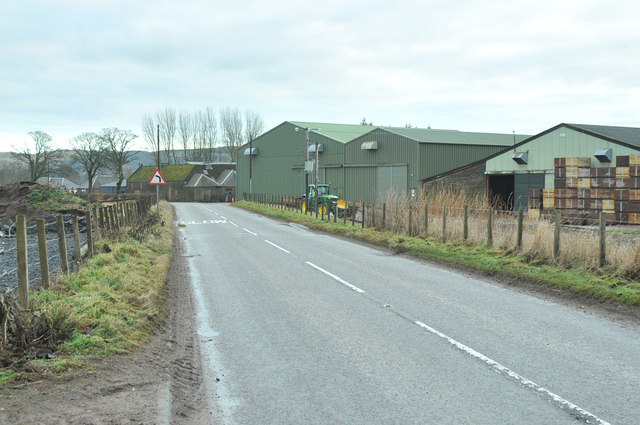
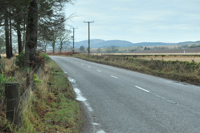
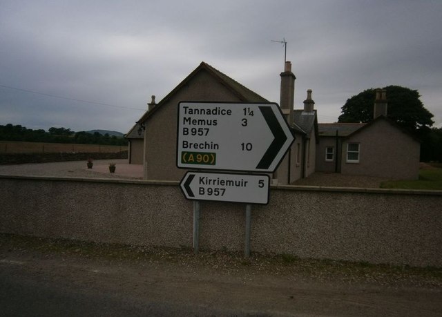
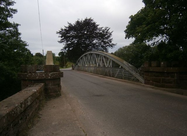
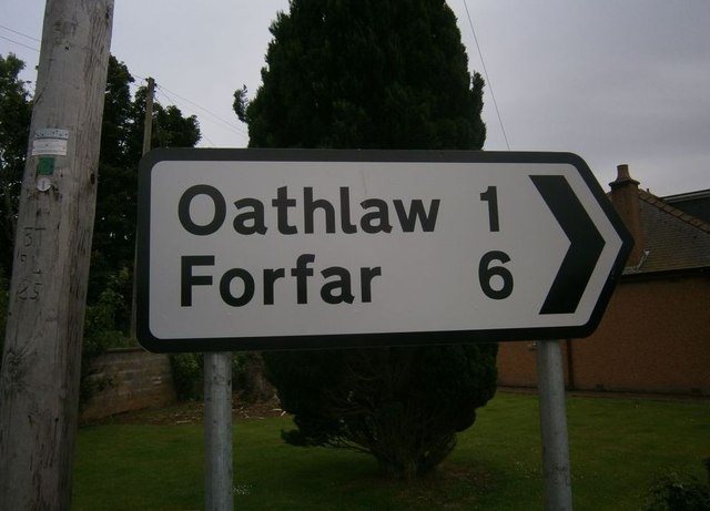
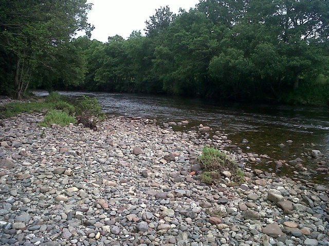
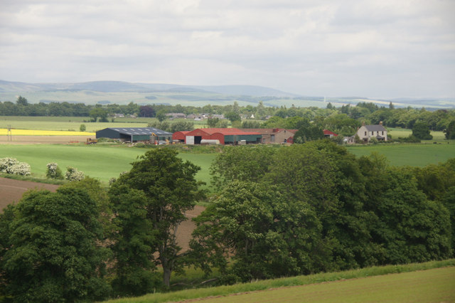
School Wood Images

Images are sourced within 2km of 56.698168/-2.8553723 or Grid Reference NO4756. Thanks to Geograph Open Source API. All images are credited.

Built-up area of Finavon along the A90 road This view is from the southbound (locally westbound) travel lanes of the A90 road.
Built-up area of Finavon along the A90 road
This view is from the southbound (locally westbound) travel lanes of the A90 road.
Approaching the Bogardo turnoff Photographer is in the southbound travel lane of the A90 road.
Approaching the Bogardo turnoff
Photographer is in the southbound travel lane of the A90 road.
Approaching the Oathlaw turnoff Photographer is above the southbound travel lanes of A90.
Approaching the Oathlaw turnoff
Photographer is above the southbound travel lanes of A90.
Peggy Scott's on the A90 at Finavon
Road junction at Tannadice
B957 past farm buildings at Barnyards
B957 near Tannadyce House
Tannadice Sign Post Sign Post At Justinhaugh
Tannadice Sign Post
Sign Post At Justinhaugh
Bridge At Justinhaugh View Of The Bridge At Justinhaugh
Bridge At Justinhaugh
View Of The Bridge At Justinhaugh
Forfar Sign At Justinhaugh Signpost At Justinhaugh
Forfar Sign At Justinhaugh
Signpost At Justinhaugh
South Esk River View Of The River South Esk
South Esk River
View Of The River South Esk
Bogindollo farm, Oathlaw
Fields at Oathlaw
Fields at Oathlaw
Fields at Bogindollo near Forfar
South Esk at Finavon
Finavon Castle Little remains of Finavon, the chief castle of the Lindsay earls of Crawford.  Prior to its demise in the mid-eighteenth century, the castle had witnessed phases of construction belonging to the 15th, 16th and 17th centuries.
Finavon Castle
Little remains of Finavon, the chief castle of the Lindsay earls of Crawford. Prior to its demise in the mid-eighteenth century, the castle had witnessed phases of construction belonging to the 15th, 16th and 17th centuries.
Finavon Castle Surrounded by trees the ruin (classed as a dangerous building) can only be viewed from a relatively close distance.
Finavon Castle
Surrounded by trees the ruin (classed as a dangerous building) can only be viewed from a relatively close distance.
The Lemno Burn at Finavon
Show me another place!

School Wood is located at Grid Ref: NO4756 (Lat: 56.698168, Lng: -2.8553723)

Unitary Authority: Angus

Police Authority: Tayside

What 3 Words

///clubbing.after.playback. Near Forfar, Angus

Related Wikis

Oathlaw

Oathlaw is a village in Angus, Scotland, 4 miles north of Forfar. == References ==

Milton of Finavon

Milton of Finavon is a hamlet in Angus, Scotland that lies adjacent to the A90 road on its southern side by the River South Esk. It is approximately 5...

Tannadice, Angus

Tannadice is a village in Angus, Scotland that lies on the River South Esk and is 4 miles north of Forfar. The estate of Tannadice was formerly owned by...

Justinhaugh railway station

Justinhaugh railway station served the hamlet of Justinhaugh, Angus, Scotland, from 1895 to 1952 on the Forfar and Brechin Railway. == History == The station...

Nearby Amenities

Located within 500m of 56.698168,-2.8553723
Bus Stop
Old School
Bus: yes
Naptan AtcoCode: 6490IM016
Naptan Bearing: W
Naptan BusStopType: CUS
Naptan CommonName: Old School
Naptan Indicator: opp
Naptan Landmark: Hall
Naptan NaptanCode: 26425637
Naptan Street: Unclassified Road
Naptan Verified: no
Public Transport: platform
Source: naptan_import
Lat/Long: 56.6960345/-2.8583728
Bus Stop
Old School
Bus: yes
Local Ref: AT
Naptan AtcoCode: 6490IM064
Naptan Bearing: E
Naptan BusStopType: CUS
Naptan CommonName: Old School
Naptan Indicator: at
Naptan NaptanCode: 26426428
Naptan Street: Unclassified Road
Naptan Verified: no
Public Transport: platform
Source: naptan_import
Lat/Long: 56.6960239/-2.8586012
Oathlaw
Place: village
Lat/Long: 56.6959859/-2.8589047
Bourtreebush
Place: isolated_dwelling
Lat/Long: 56.6994496/-2.8576247
Ordie Croft
Place: isolated_dwelling
Lat/Long: 56.7010767/-2.8529763
Power: pole
Lat/Long: 56.695685/-2.8621743
Power: pole
Lat/Long: 56.6957394/-2.860923
Power: pole
Lat/Long: 56.6957614/-2.8601571
Power: pole
Lat/Long: 56.6957989/-2.8591202
Power: pole
Lat/Long: 56.6958209/-2.8583943
Power: pole
Lat/Long: 56.6956656/-2.8574635
Power: pole
Lat/Long: 56.6954948/-2.8565043
Power: pole
Lat/Long: 56.6952321/-2.8552671
Power: pole
Lat/Long: 56.6949798/-2.8540016
Power: pole
Lat/Long: 56.6947158/-2.8527408
Power: pole
Lat/Long: 56.6944583/-2.8515036
Power: pole
Lat/Long: 56.6942112/-2.8522318
Power: pole
Lat/Long: 56.6939472/-2.8529788
The data included in this document is from www.openstreetmap.org. The data is made available under ODbL.

Have you been to School Wood?

Leave your review of School Wood below (or comments, questions and feedback).