Oathlaw Wood
Wood, Forest in Angus
Scotland
Oathlaw Wood
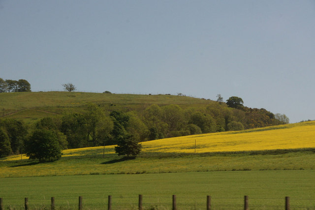
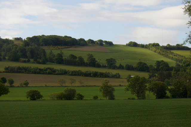
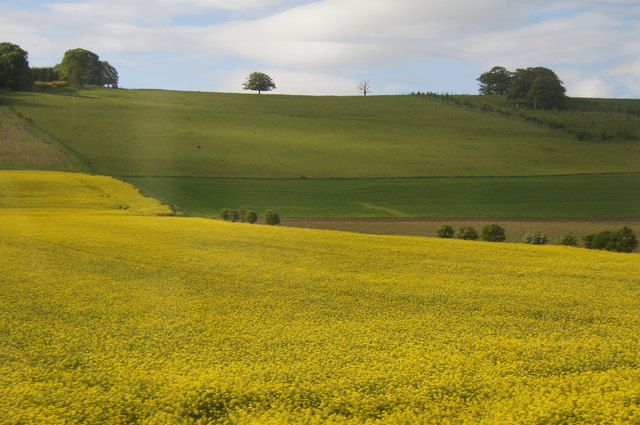
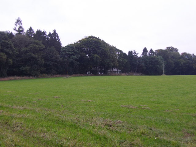
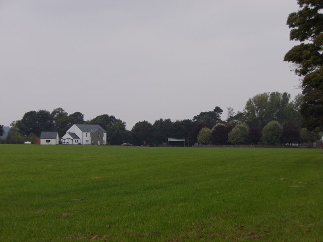
Oathlaw Wood is a picturesque forest located in Angus, Scotland. Covering an area of approximately 65 hectares, it is a diverse and ancient woodland that has been protected and maintained for its ecological significance and recreational value.
The woodland is predominantly composed of native broadleaf trees, with oak, birch, and ash being the dominant species. These trees create a dense and vibrant canopy, providing a haven for a variety of wildlife. The forest floor is carpeted with an array of wildflowers, ferns, and mosses, adding to the enchanting atmosphere of the wood.
Oathlaw Wood is home to a rich biodiversity, with several species of birds, mammals, and insects making it their habitat. Visitors to the wood may spot red squirrels, roe deer, and a variety of woodland birds, including woodpeckers and owls. The wood is also known for its population of butterflies, including the rare pearl-bordered fritillary.
The wood is popular among nature enthusiasts, hikers, and birdwatchers, who can explore the various walking trails that wind through the forest. The main trail offers a leisurely stroll through the woodland, while there are also more challenging routes for those seeking a longer and more adventurous hike.
Overall, Oathlaw Wood is a cherished natural treasure in Angus, providing a tranquil retreat for both wildlife and humans alike. Its beauty and biodiversity make it an ideal destination for nature lovers and a valuable resource for conservation efforts in the area.
If you have any feedback on the listing, please let us know in the comments section below.
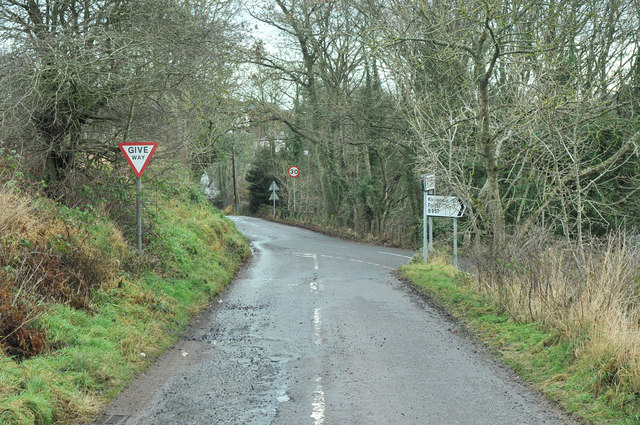
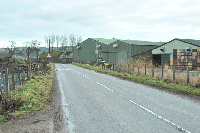
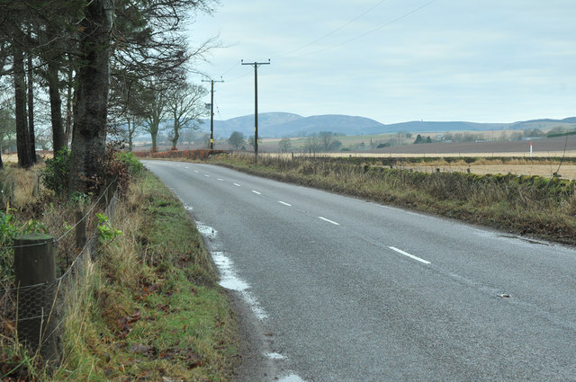
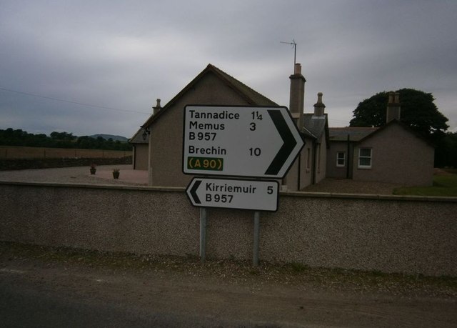
Oathlaw Wood Images
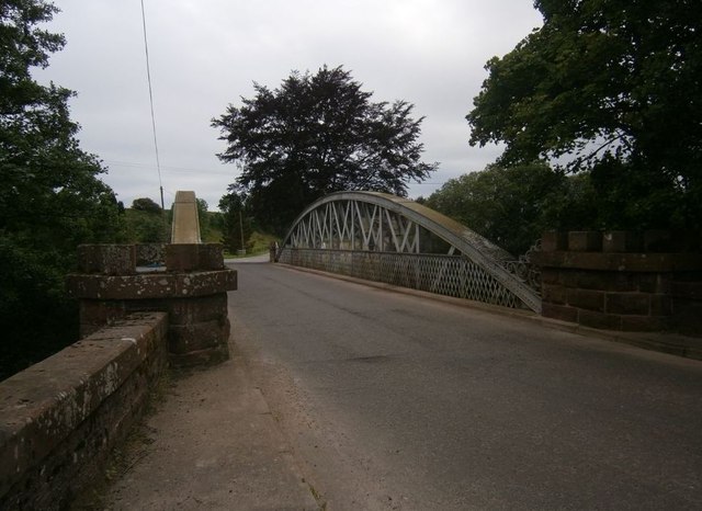
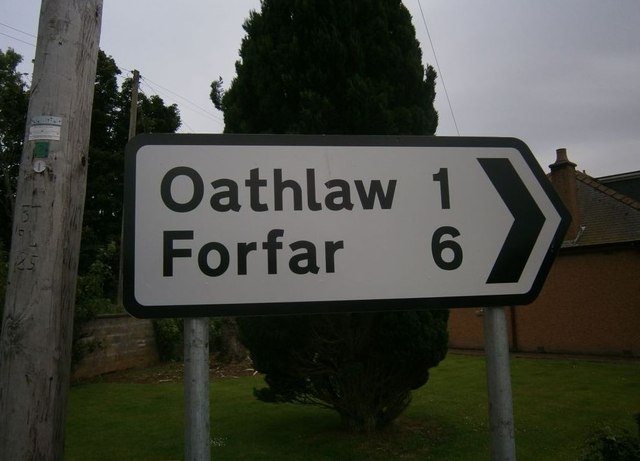
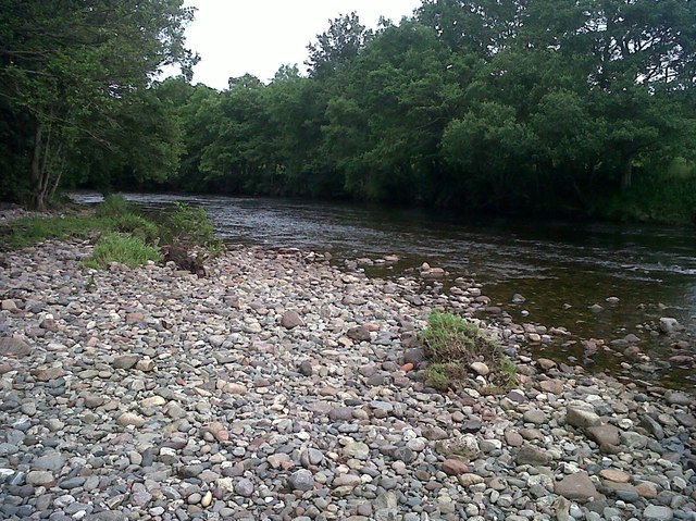
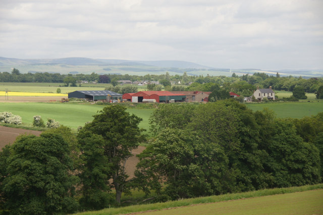
Images are sourced within 2km of 56.697099/-2.8631207 or Grid Reference NO4756. Thanks to Geograph Open Source API. All images are credited.
Oathlaw Wood is located at Grid Ref: NO4756 (Lat: 56.697099, Lng: -2.8631207)
Unitary Authority: Angus
Police Authority: Tayside
What 3 Words
///trades.typically.feuds. Near Forfar, Angus
Nearby Locations
Related Wikis

Oathlaw
Oathlaw is a village in Angus, Scotland, 4 miles north of Forfar. == References ==

Justinhaugh railway station
Justinhaugh railway station served the hamlet of Justinhaugh, Angus, Scotland, from 1895 to 1952 on the Forfar and Brechin Railway. == History == The station...

Battledykes
Battledykes is a Roman camp slightly to the north of Forfar, Scotland. According to Hector Boece, Pictish chiefs met at a castle by Forfar Loch to plan...

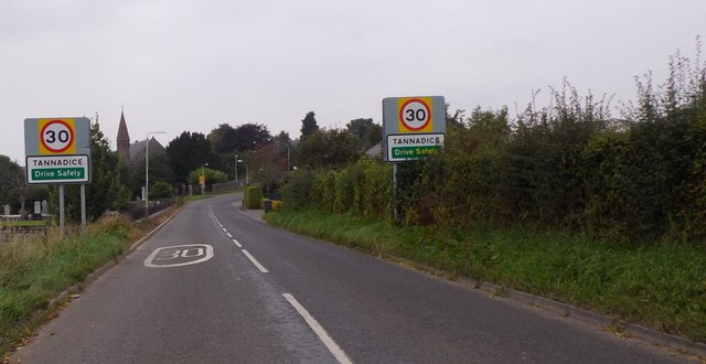
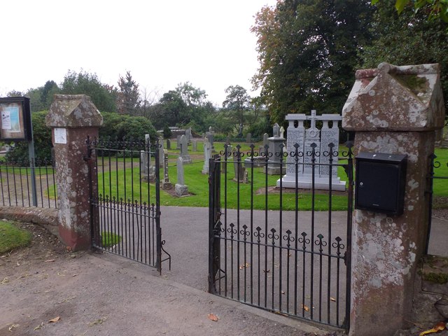
Tannadice, Angus
Tannadice is a village in Angus, Scotland that lies on the River South Esk and is 4 miles north of Forfar. The estate of Tannadice was formerly owned by...
Milton of Finavon
Milton of Finavon is a hamlet in Angus, Scotland that lies adjacent to the A90 road on its southern side by the River South Esk. It is approximately 5...
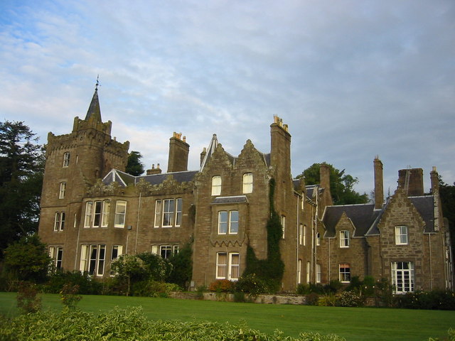
Finavon Castle
Finavon Castle lies on the River South Esk, about a quarter of a mile south of Milton of Finavon village and five miles to the north-east of Forfar in...
Tannadice railway station
Tannadice railway station served the village of Tannadice, Angus, Scotland, from 1895 to 1952 on the Forfar and Brechin Railway. == History == The station...
Finavon
Finavon is a small settlement in Angus, Scotland. Its Ordnance Survey grid reference is NO4957. == References ==
Related Videos

Early Autumn Road Trip Drive To Visit Tannadice In Angus Scotland
Tour Scotland early Autumn travel video, with Scottish bagpipes and drums music, of a road trip drive on history visit to Tannadice ...
Nearby Amenities
Located within 500m of 56.697099,-2.8631207Have you been to Oathlaw Wood?
Leave your review of Oathlaw Wood below (or comments, questions and feedback).