Oathlaw

Settlement in Angus

Scotland

Oathlaw

Trees along burn at Parkford, north of Forfar
Trees along burn at Parkford, north of Forfar Credit: Mike Pennington

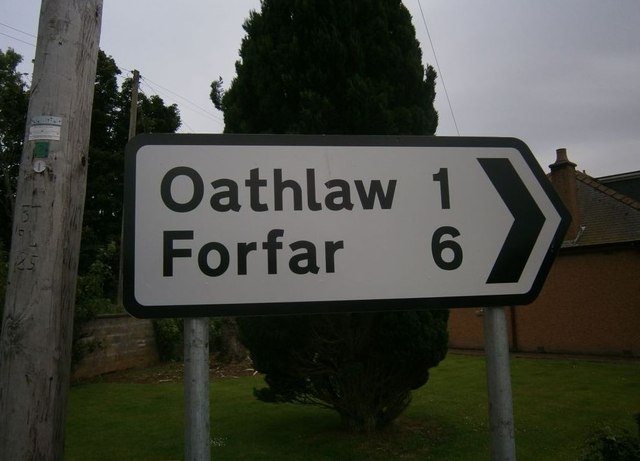
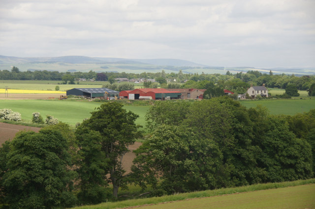
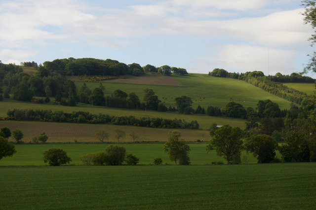
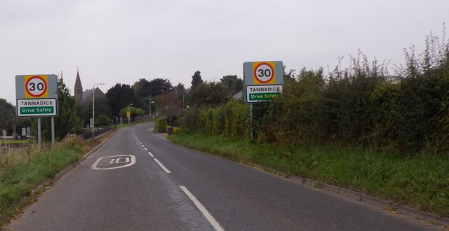
Oathlaw is a small village located in Angus, Scotland. Situated about 8 miles northwest of Forfar, it is nestled amidst picturesque countryside, surrounded by rolling hills and farmland. With a population of around 200 residents, Oathlaw is known for its tranquility and natural beauty.

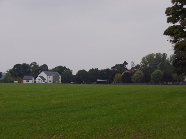
The village is characterized by its traditional Scottish architecture, with a collection of stone-built cottages and farmhouses dotting the landscape. The centerpiece of the village is the Oathlaw Tannery, a historic building that has been converted into a community center. This iconic landmark serves as a hub for various local activities and events, including craft fairs and social gatherings.

Despite its small size, Oathlaw boasts a strong sense of community spirit. The residents take pride in their village and actively participate in initiatives aimed at preserving its heritage and enhancing the quality of life for its inhabitants. The Oathlaw Community Association plays a vital role in organizing community projects and maintaining the village's amenities.

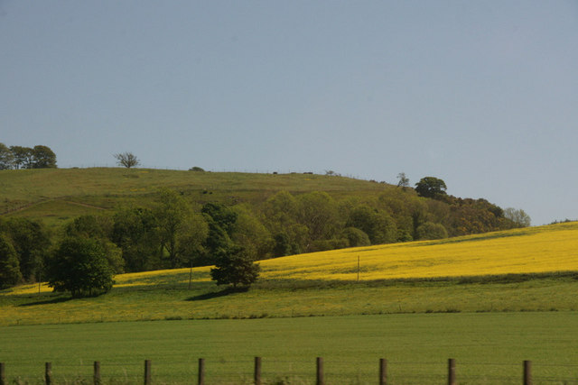
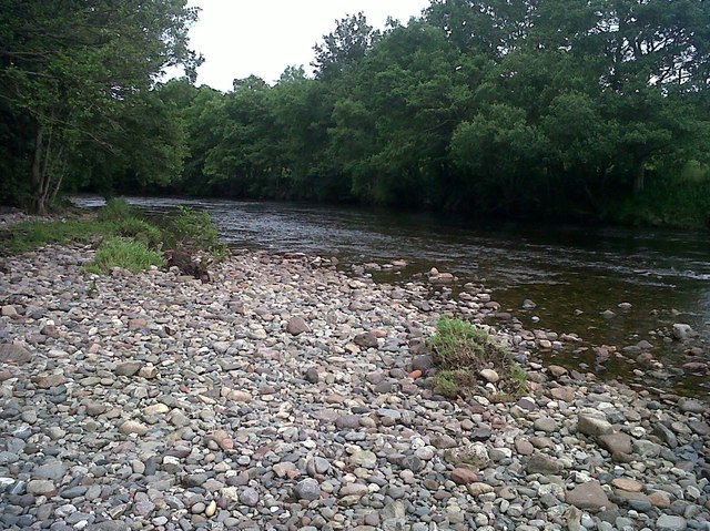
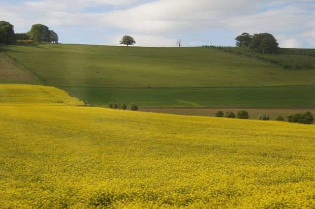
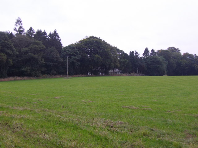
Surrounding Oathlaw, the Angus countryside offers ample opportunities for outdoor pursuits. Residents and visitors can enjoy scenic walks along the numerous trails, taking in the breathtaking views of the Angus Glens. The nearby Loch of Lintrathen provides a peaceful spot for fishing and birdwatching.

Overall, Oathlaw is a charming village that embodies the tranquility and natural beauty of rural Scotland. With its close-knit community and idyllic surroundings, it offers a peaceful retreat for those seeking a slower pace of life.

If you have any feedback on the listing, please let us know in the comments section below.
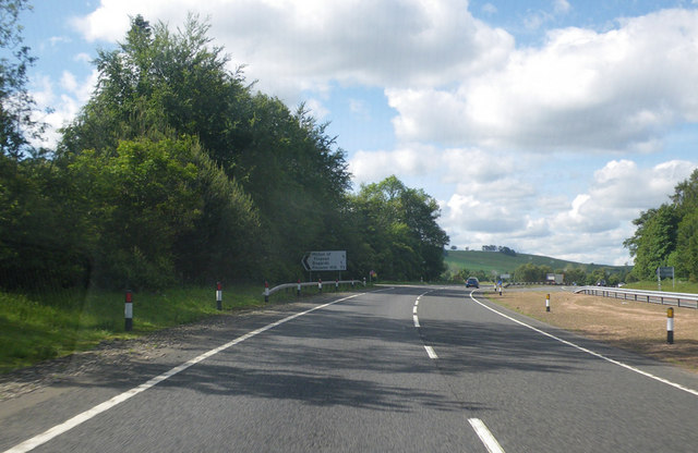
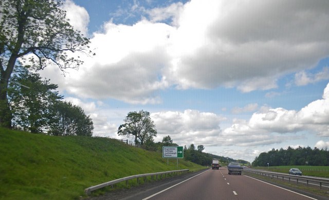
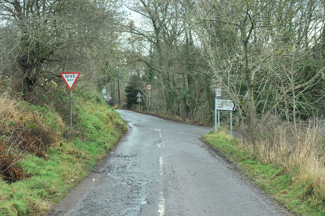
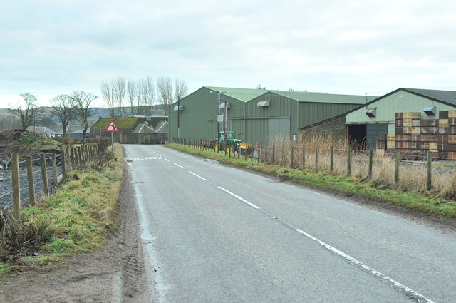
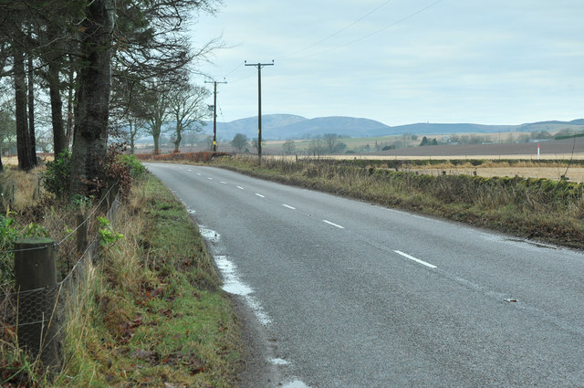
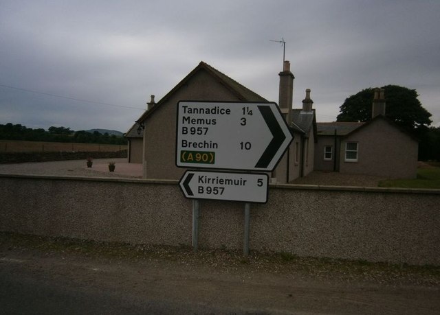
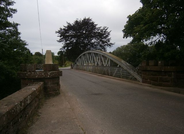
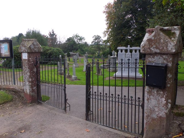
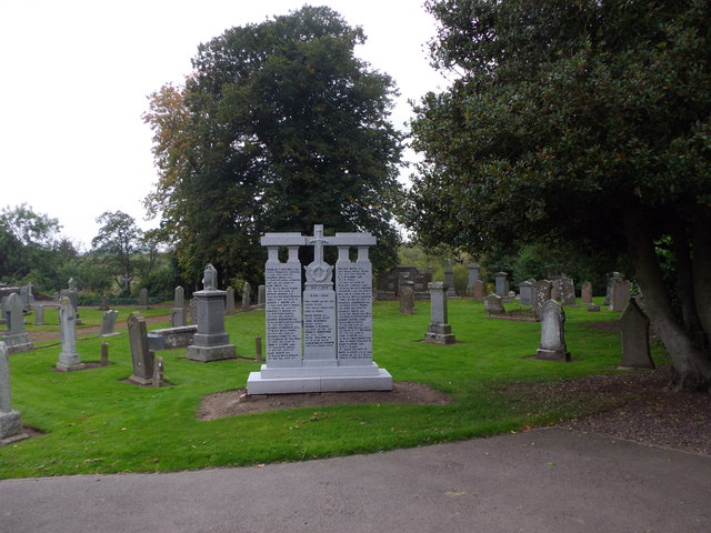
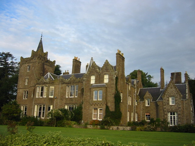
Oathlaw Images

Images are sourced within 2km of 56.69518/-2.8587008 or Grid Reference NO4756. Thanks to Geograph Open Source API. All images are credited.

Trees along burn at Parkford, north of Forfar
Approaching the Bogardo turnoff Photographer is in the southbound travel lane of the A90 road.
Approaching the Bogardo turnoff
Photographer is in the southbound travel lane of the A90 road.
Approaching the Oathlaw turnoff Photographer is above the southbound travel lanes of A90.
Approaching the Oathlaw turnoff
Photographer is above the southbound travel lanes of A90.
Road junction at Tannadice
B957 past farm buildings at Barnyards
B957 near Tannadyce House
Tannadice Sign Post Sign Post At Justinhaugh
Tannadice Sign Post
Sign Post At Justinhaugh
Bridge At Justinhaugh View Of The Bridge At Justinhaugh
Bridge At Justinhaugh
View Of The Bridge At Justinhaugh
Forfar Sign At Justinhaugh Signpost At Justinhaugh
Forfar Sign At Justinhaugh
Signpost At Justinhaugh
South Esk River View Of The River South Esk
South Esk River
View Of The River South Esk
Bogindollo farm, Oathlaw
Fields at Oathlaw
Fields at Oathlaw
Fields at Bogindollo near Forfar
A view to Tannadyce House estate Across a field from the B957
A view to Tannadyce House estate
Across a field from the B957
A view towards Barnyards Across a grass field from the B957.
A view towards Barnyards
Across a grass field from the B957.
Entering Tannadice On B97 from Finavon; cemetery on left.
Entering Tannadice
On B97 from Finavon; cemetery on left.
Gated entrance to Tannadice cemetery Off B957.
Gated entrance to Tannadice cemetery
Off B957.
War Memorial, Tannadice Just inside the entrance to the cemetery.
War Memorial, Tannadice
Just inside the entrance to the cemetery.
Show me another place!

Oathlaw is located at Grid Ref: NO4756 (Lat: 56.69518, Lng: -2.8587008)

Unitary Authority: Angus

Police Authority: Tayside

What 3 Words

///accented.minerals.pram. Near Forfar, Angus

Related Wikis

Oathlaw

Oathlaw is a village in Angus, Scotland, 4 miles north of Forfar. == References ==

Justinhaugh railway station

Justinhaugh railway station served the hamlet of Justinhaugh, Angus, Scotland, from 1895 to 1952 on the Forfar and Brechin Railway. == History == The station...

Battledykes

Battledykes is a Roman camp slightly to the north of Forfar, Scotland. According to Hector Boece, Pictish chiefs met at a castle by Forfar Loch to plan...

Milton of Finavon

Milton of Finavon is a hamlet in Angus, Scotland that lies adjacent to the A90 road on its southern side by the River South Esk. It is approximately 5...

Nearby Amenities

Located within 500m of 56.69518,-2.8587008
Bus Stop
Old School
Bus: yes
Naptan AtcoCode: 6490IM016
Naptan Bearing: W
Naptan BusStopType: CUS
Naptan CommonName: Old School
Naptan Indicator: opp
Naptan Landmark: Hall
Naptan NaptanCode: 26425637
Naptan Street: Unclassified Road
Naptan Verified: no
Public Transport: platform
Source: naptan_import
Lat/Long: 56.6960345/-2.8583728
Bus Stop
Old School
Bus: yes
Local Ref: AT
Naptan AtcoCode: 6490IM064
Naptan Bearing: E
Naptan BusStopType: CUS
Naptan CommonName: Old School
Naptan Indicator: at
Naptan NaptanCode: 26426428
Naptan Street: Unclassified Road
Naptan Verified: no
Public Transport: platform
Source: naptan_import
Lat/Long: 56.6960239/-2.8586012
Oathlaw
Place: village
Lat/Long: 56.6959859/-2.8589047
Bourtreebush
Place: isolated_dwelling
Lat/Long: 56.6994496/-2.8576247
Easter Oathlaw
Place: isolated_dwelling
Lat/Long: 56.6937552/-2.853151
Power: pole
Lat/Long: 56.6951196/-2.8665482
Power: pole
Lat/Long: 56.6953253/-2.8650517
Power: pole
Lat/Long: 56.6955039/-2.8636118
Power: pole
Lat/Long: 56.695685/-2.8621743
Power: pole
Lat/Long: 56.6957394/-2.860923
Power: pole
Lat/Long: 56.6957614/-2.8601571
Power: pole
Lat/Long: 56.6957989/-2.8591202
Power: pole
Lat/Long: 56.6958209/-2.8583943
Power: pole
Lat/Long: 56.6956656/-2.8574635
Power: pole
Lat/Long: 56.6954948/-2.8565043
Power: pole
Lat/Long: 56.6952321/-2.8552671
Power: pole
Lat/Long: 56.6949798/-2.8540016
Power: pole
Lat/Long: 56.6947158/-2.8527408
Power: pole
Lat/Long: 56.6944583/-2.8515036
Power: pole
Lat/Long: 56.6942112/-2.8522318
Power: pole
Lat/Long: 56.6939472/-2.8529788
The data included in this document is from www.openstreetmap.org. The data is made available under ODbL.

Have you been to Oathlaw?

Leave your review of Oathlaw below (or comments, questions and feedback).