Balderston Plantation

Wood, Forest in Roxburghshire

Scotland

Balderston Plantation

Hermitage Water at Gorrenberry
Hermitage Water at Gorrenberry Credit: Alan Reid

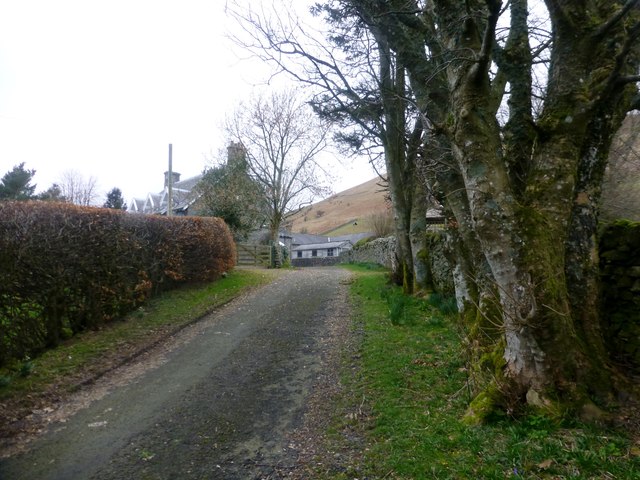
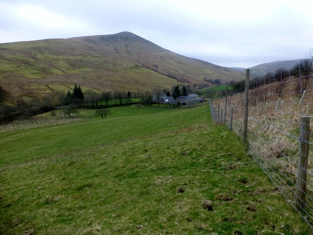
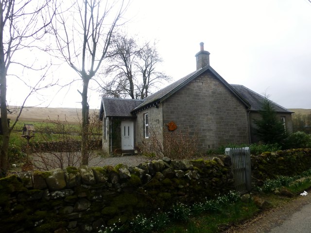
Balderston Plantation is a picturesque estate located in the county of Roxburghshire, Scotland. Nestled in a serene and verdant landscape, it is renowned for its sprawling woodlands and enchanting forests. The plantation covers a vast area, encompassing acres of dense and diverse vegetation.

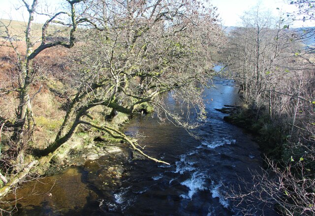
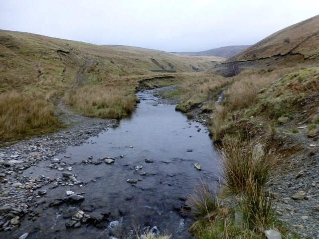
The woodlands of Balderston Plantation are a haven for nature enthusiasts and outdoor adventurers alike. The area boasts a rich biodiversity, with a wide variety of flora and fauna thriving within its boundaries. Ancient and towering trees dominate the landscape, providing a haven for countless species of birds, mammals, and insects.

The forested areas within Balderston Plantation are carefully managed to ensure the preservation of its natural splendor. The plantation authorities employ sustainable forestry practices, striking a balance between conservation and commercial use. Managed woodlands provide a sustainable source of timber and contribute to the local economy.

Visitors to Balderston Plantation can enjoy a range of activities amidst its captivating surroundings. The estate offers numerous walking trails, allowing nature enthusiasts to explore the woodlands at their leisure. The beauty of the forest is further enhanced by the presence of meandering streams and small ponds, adding to the tranquility of the area.

Balderston Plantation is a testament to the enduring beauty of Scotland's natural landscapes. Its woodlands and forests offer a peaceful retreat from the hustle and bustle of modern life, providing visitors with an opportunity to reconnect with nature and enjoy the serenity that only such a setting can offer.

If you have any feedback on the listing, please let us know in the comments section below.

Balderston Plantation Images

Images are sourced within 2km of 55.269466/-2.8244253 or Grid Reference NY4797. Thanks to Geograph Open Source API. All images are credited.

Hermitage Water at Gorrenberry
Country road heading towards Hermitage Castle Below Graystone Hill.
Country road heading towards Hermitage Castle
Below Graystone Hill.
Sheep grazing between Hermitage Water and the local through road Near Hermitage Castle.
Sheep grazing between Hermitage Water and the local through road
Near Hermitage Castle.
Hermitage Hill Hermitage Hill summit with a view to the distant Greatmoor Hill.
Hermitage Hill
Hermitage Hill summit with a view to the distant Greatmoor Hill.
Slight Bend In The Fence A slight bend in the fence with a distant view towards Greatmoor Hill.
Slight Bend In The Fence
A slight bend in the fence with a distant view towards Greatmoor Hill.
View Along Fence Towards Greatmoor Hill
View Of Lane To Gorrenberry Beech hedge and trees near the top of the lane to Gorrenberry.
View Of Lane To Gorrenberry
Beech hedge and trees near the top of the lane to Gorrenberry.
View Towards Din Fell A view from the bottom edge Dod Plantation towards Gorrenberry and the hill Din Fell.
View Towards Din Fell
A view from the bottom edge Dod Plantation towards Gorrenberry and the hill Din Fell.
Dry Stone Wall View Towards Bught Knowe A moss covered dry stone wall with a view towards Bught Knowe.
Dry Stone Wall View Towards Bught Knowe
A moss covered dry stone wall with a view towards Bught Knowe.
Dingley Riverside Cottage Dingley Riverside Cottage is situated beside the minor road opposite Hermitage Water.
Dingley Riverside Cottage
Dingley Riverside Cottage is situated beside the minor road opposite Hermitage Water.
Braidley Burn We forded the Braidley Burn at this point and managed to keep or socks dry. You can make out the sheepfold on the west bank.
Braidley Burn
We forded the Braidley Burn at this point and managed to keep or socks dry. You can make out the sheepfold on the west bank.
Moorland View Towards Hermitage Hill We descended below Little Land Knowe heading towards the Braidley Burn using the view towards Hermitage Hill as a navigational aid.
Moorland View Towards Hermitage Hill
We descended below Little Land Knowe heading towards the Braidley Burn using the view towards Hermitage Hill as a navigational aid.
Road at Dinley Riverside Cottage Looking south-eastward.
Road at Dinley Riverside Cottage
Looking south-eastward.
Ordnance Survey Flush Bracket 12083 This can be found on the wall of a cottage - private dwelling - at Dinley.
For more detail see : <span class="nowrap"><a title="http://www.bench-marks.org.uk/bm472" rel="nofollow ugc noopener" href="http://www.bench-marks.org.uk/bm472">Link</a><img style="margin-left:2px;" alt="External link" title="External link - shift click to open in new window" src="https://s1.geograph.org.uk/img/external.png" width="10" height="10"/></span>
Ordnance Survey Flush Bracket 12083
This can be found on the wall of a cottage - private dwelling - at Dinley. For more detail see : LinkExternal link
View of Dod Hill A field by Dinley, beside the Hermitage Water.
View of Dod Hill
A field by Dinley, beside the Hermitage Water.
Hermitage road Beside the Hermitage Water.
Hermitage road
Beside the Hermitage Water.
Hermitage road Ash trees between road and river.
Hermitage road
Ash trees between road and river.
Trees beside the Hermitage Water Scattered ashes beside the river near Gorrenberry.
Trees beside the Hermitage Water
Scattered ashes beside the river near Gorrenberry.
Show me another place!

Balderston Plantation is located at Grid Ref: NY4797 (Lat: 55.269466, Lng: -2.8244253)

Unitary Authority: The Scottish Borders

Police Authority: The Lothians and Scottish Borders

What 3 Words

///masks.mock.perfectly. Near Teviothead, Scottish Borders

Related Wikis

Nearby Amenities

Located within 500m of 55.269466,-2.8244253
Ford: yes
Lat/Long: 55.2703191/-2.8302353
Ford: yes
Lat/Long: 55.2701646/-2.830457
Ford: yes
Lat/Long: 55.2705148/-2.8302276
Ford: yes
Lat/Long: 55.2703904/-2.8302313
Ford: yes
Lat/Long: 55.2658055/-2.8220918
The data included in this document is from www.openstreetmap.org. The data is made available under ODbL.

Have you been to Balderston Plantation?

Leave your review of Balderston Plantation below (or comments, questions and feedback).