Balderston Hill
Hill, Mountain in Roxburghshire
Scotland
Balderston Hill
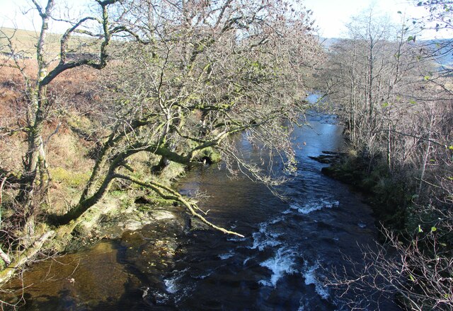
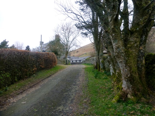
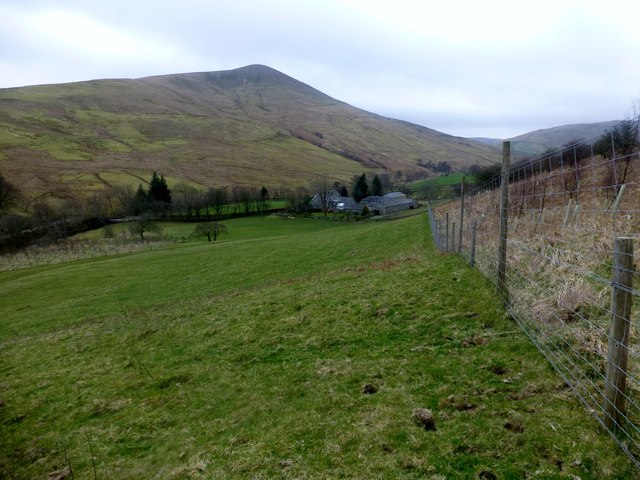
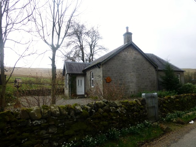
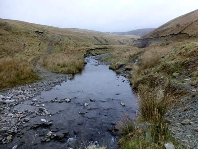
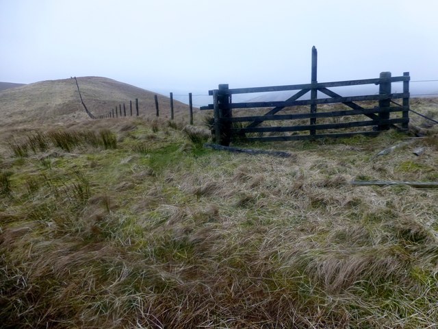
Balderston Hill, located in Roxburghshire, Scotland, is a prominent hill standing at an elevation of 457 meters (1,499 feet). Situated about 10 kilometers northeast of the town of Hawick, it is part of the Southern Uplands mountain range. The hill is surrounded by stunning natural beauty, with rolling green hills and picturesque valleys.
Balderston Hill is a popular destination for outdoor enthusiasts, offering breathtaking panoramic views of the surrounding countryside. Its easily accessible trails make it an ideal location for hikers, walkers, and nature lovers. The hill's slopes are covered in heather, creating a vibrant purple carpet during the summer months. Visitors can also spot various wildlife species, including birds, rabbits, and grazing sheep.
At the summit of Balderston Hill, visitors are rewarded with stunning vistas over the Cheviot Hills, Eildon Hills, and the River Teviot. On a clear day, it is even possible to spot the distant peaks of the Scottish Borders and Northumberland National Park.
For those interested in history, Balderston Hill is said to have been a site of ancient settlements, with remnants of Iron Age forts and burial mounds still visible. The hill's rich historical significance adds an extra layer of intrigue to the area.
Overall, Balderston Hill is a captivating destination that offers a perfect blend of natural beauty, outdoor adventures, and historical intrigue. It attracts visitors from near and far, providing an unforgettable experience in the heart of Roxburghshire.
If you have any feedback on the listing, please let us know in the comments section below.
Balderston Hill Images
Images are sourced within 2km of 55.273187/-2.8230386 or Grid Reference NY4797. Thanks to Geograph Open Source API. All images are credited.


Balderston Hill is located at Grid Ref: NY4797 (Lat: 55.273187, Lng: -2.8230386)
Unitary Authority: The Scottish Borders
Police Authority: The Lothians and Scottish Borders
What 3 Words
///innovate.gravel.toast. Near Teviothead, Scottish Borders
Nearby Locations
Related Wikis

Dinley
Dinley is a hamlet in the Scottish Borders through which Hermitage Water flows. == Etymology == The first element, din, seems to be the Cumbric word for...

Hermitage Castle
Hermitage Castle is a semi-ruined castle in the border region of Scotland. It is under the care of Historic Scotland. The castle has a reputation, both...

Cauldcleuch Head
Cauldcleuch Head is a hill in an unnamed range of Roxburghshire hills north of Langholm, part of the Southern Uplands of Scotland. The highest hill in...
Hermitage, Scottish Borders
Hermitage is a village near Newcastleton, on the B6399, in the Scottish Borders area of Scotland. == See also == List of places in the Scottish Borders...

Ninestane Rig
Ninestane Rig (English: Nine Stone Ridge) is a small stone circle in Scotland near the English border. Located in Roxburghshire, near to Hermitage Castle...

Hermitage Water
The Hermitage Water is a river in Liddesdale, in the Scottish Borders area of Scotland. Among its many feeder burns are Braidley Burn, Dinley Burn, Gorrenberry...

Maiden Paps (Hawick)
The Maiden Paps are twin hills near Hawick, in the Scottish Borders of the south east of Scotland, so named because they have the shape of human breasts...
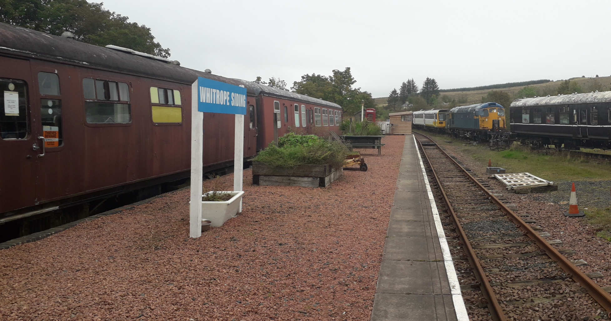
Whitrope Siding
Whitrope Siding was a trailing short siding or spur off the "up" (southbound) line, an associated trailing cross-over between up and down lines, a pair...
Nearby Amenities
Located within 500m of 55.273187,-2.8230386Have you been to Balderston Hill?
Leave your review of Balderston Hill below (or comments, questions and feedback).