Roman Hill
Hill, Mountain in Angus
Scotland
Roman Hill
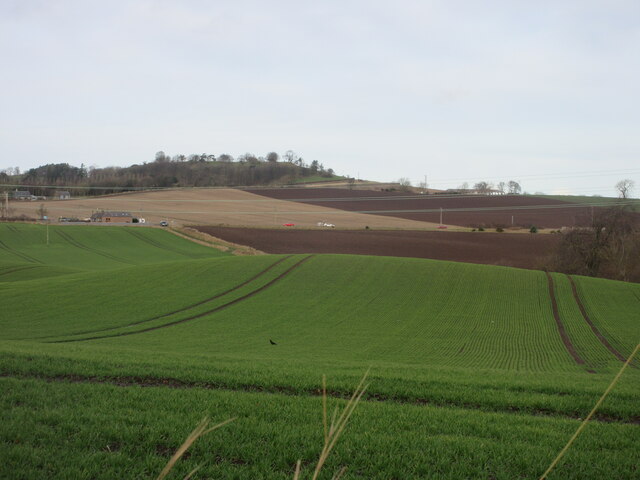
Roman Hill is a prominent geographical feature located in the county of Angus, Scotland. Rising to an elevation of around 285 meters (936 feet), it is classified as a hill rather than a mountain. Situated near the town of Forfar, Roman Hill is part of the Sidlaw Hills range, which stretches across the eastern part of Scotland.
The name "Roman Hill" derives from the belief that the Romans once used the site as a signal station during their occupation of Britain. However, there is limited evidence to support this claim, and the origin of the name remains uncertain. The hill is also known locally as "Monebog" or "Bog Hill" due to the presence of wetland areas on its slopes.
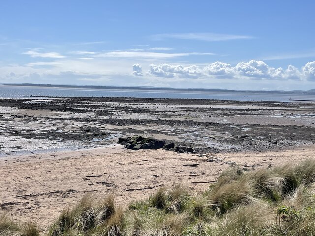
Roman Hill offers breathtaking panoramic views of the surrounding countryside, including the fertile farmland of Strathmore and the picturesque town of Forfar. The hill's gentle slopes and well-marked trails make it a popular destination for hikers, nature enthusiasts, and those seeking outdoor recreational activities.
The area surrounding Roman Hill is rich in biodiversity, with a variety of plant and animal species inhabiting its grassy slopes and woodland areas. Rare bird species, such as the red grouse and the golden eagle, can occasionally be spotted soaring overhead.
Accessible by car or on foot, Roman Hill provides a tranquil escape from the hustle and bustle of urban life. Whether it be for a leisurely walk, a peaceful picnic, or simply to enjoy the stunning views, Roman Hill offers a serene and natural retreat for visitors of all ages.
If you have any feedback on the listing, please let us know in the comments section below.
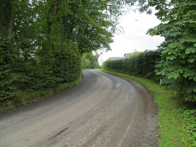
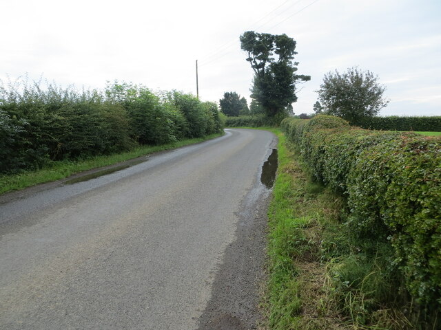
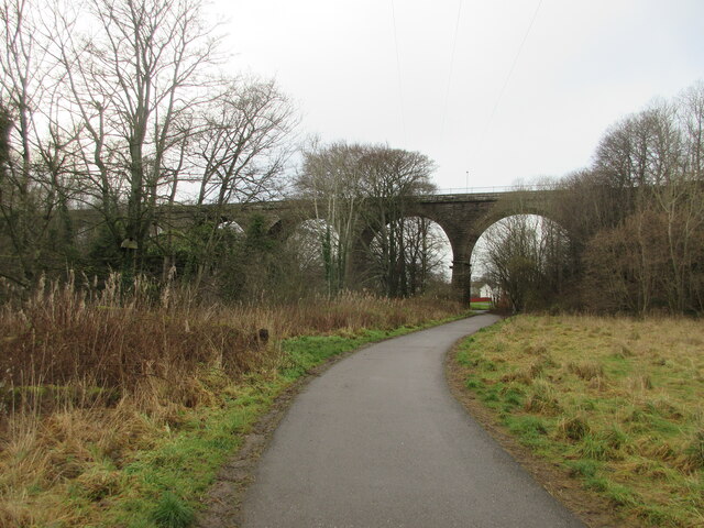
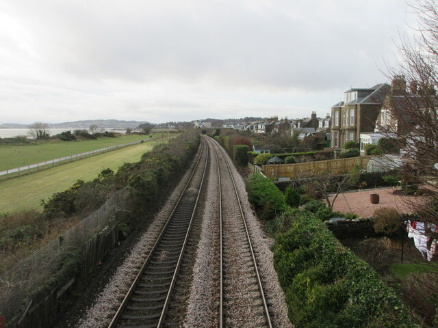
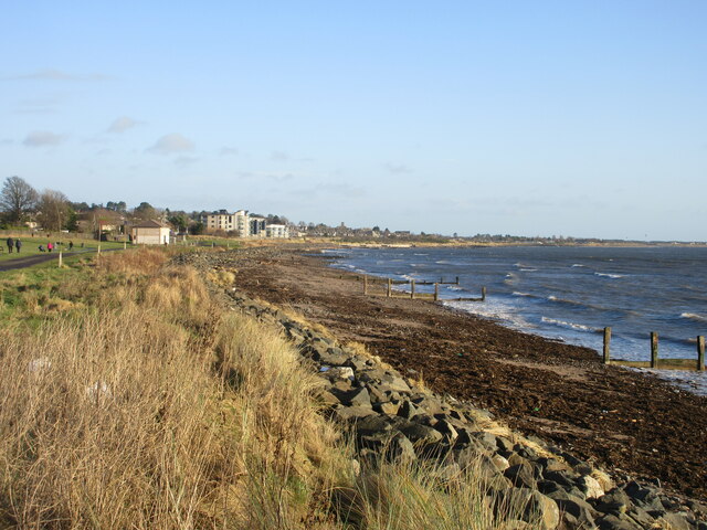
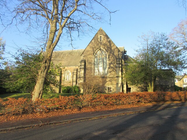
Roman Hill Images
Images are sourced within 2km of 56.48968/-2.8489847 or Grid Reference NO4733. Thanks to Geograph Open Source API. All images are credited.
Roman Hill is located at Grid Ref: NO4733 (Lat: 56.48968, Lng: -2.8489847)
Unitary Authority: City of Dundee
Police Authority: Tayside
What 3 Words
///escalates.marathons.friday. Near Monifieth, Angus
Nearby Locations
Related Wikis

Kingennie railway station
Kingennie railway station served the village of Kingennie, Angus, Scotland, from 1870 to 1955 on the Dundee and Forfar direct line. == History == The station...
Barnhill, Dundee
Barnhill is an area in Dundee, located within the suburb of Broughty Ferry. It is approximately 4½ miles east of Dundee City Centre. Until the late 19th...
Barnhill railway station (Angus)
Barnhill railway station was a railway station in Scotland serving the suburb of Barnhill, Dundee. == History == The station was opened as Barnhill on...

Ashludie Hospital
Ashludie Hospital was a health facility in Victoria Street, Monifieth, Angus, Scotland. It was managed by NHS Tayside. It remains a Category B listed building...

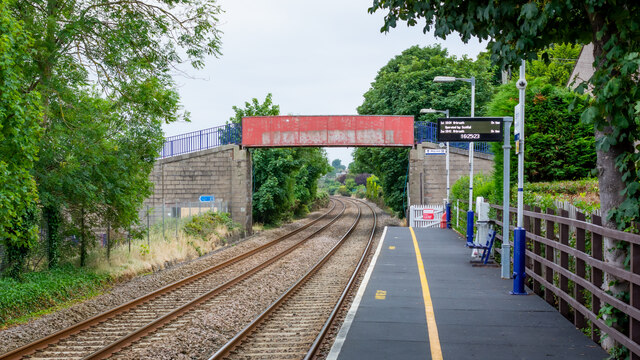
Balmossie railway station
Balmossie railway station is a small railway station at the border between Dundee and Angus which serves the east of Broughty Ferry and the west of Monifieth...
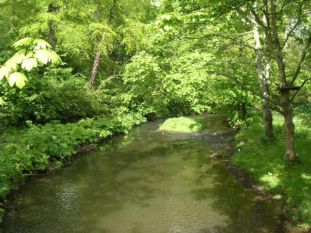
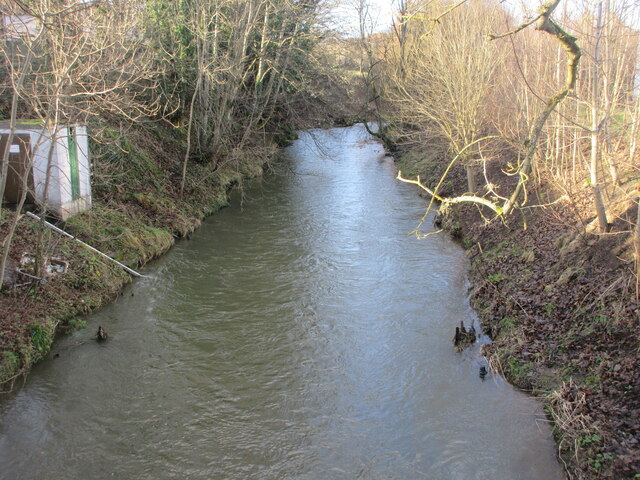
Dighty Burn
The Dighty Burn, also known as Dighty Water or Dichty Water, is a burn or stream 20 kilometres (12 mi) in length that flows through the north and east...

Kingennie
Kingennie is a village in Angus, Scotland, two miles north of Monifieth. It is mostly known for the Forbes Of Kingennie holiday and golf resort. The village...
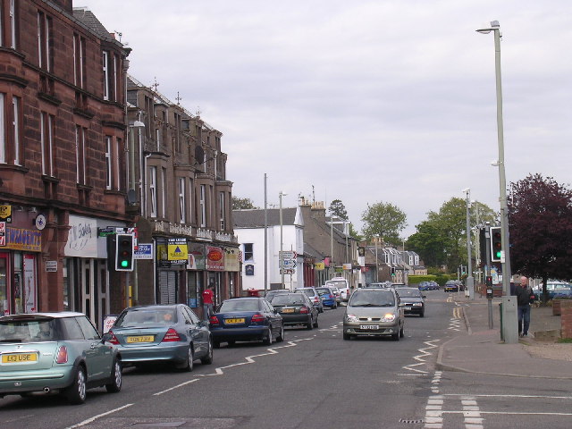
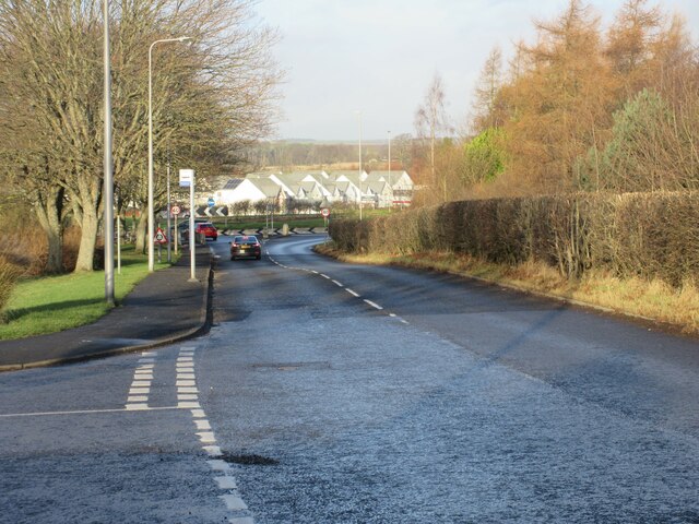
Monifieth
Monifieth (Scottish Gaelic: Monadh Fotha) is a town and former police burgh in the council area of Angus, Scotland. It is situated on the north bank of...
Nearby Amenities
Located within 500m of 56.48968,-2.8489847Have you been to Roman Hill?
Leave your review of Roman Hill below (or comments, questions and feedback).