Balmossie

Settlement in Angus

Scotland

Balmossie

Appletree Clinic. East Pitkerro
Appletree Clinic. East Pitkerro Credit: JThomas

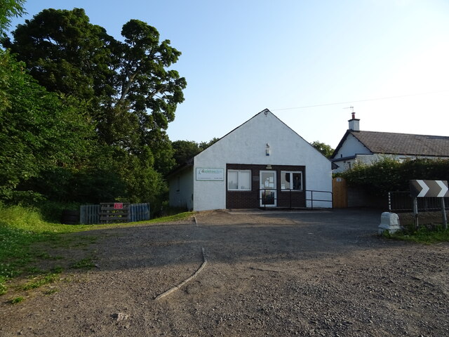
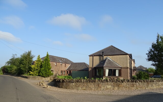
Balmossie is a small village located in the county of Angus, Scotland. Situated approximately 4 miles northeast of the city of Dundee, Balmossie is a charming residential area that offers a peaceful and picturesque setting for its residents.

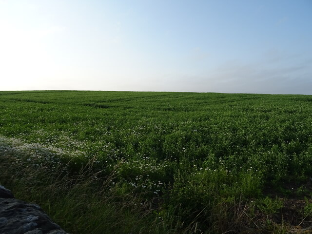
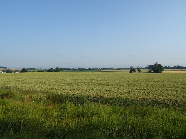
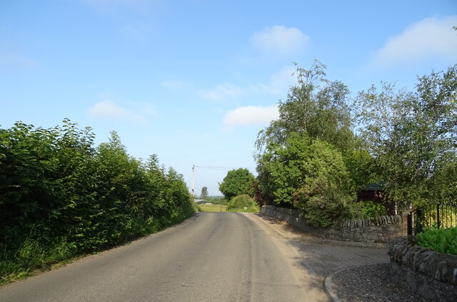
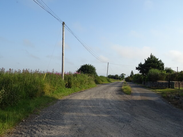
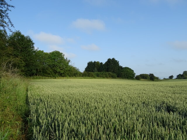
The village is known for its idyllic countryside surroundings, with lush green fields and rolling hills providing a beautiful backdrop. Balmossie is home to a tight-knit community, and its residents enjoy a tranquil lifestyle away from the hustle and bustle of the city.

Despite its rural atmosphere, Balmossie benefits from its close proximity to Dundee, allowing residents to easily access the amenities and services offered in the city. Dundee is known for its vibrant cultural scene, with numerous museums, art galleries, and theaters, providing entertainment options for Balmossie's residents.

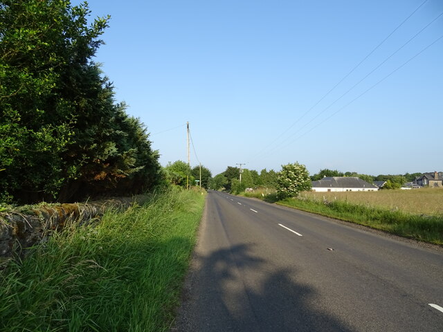
The village also benefits from excellent transportation links, with regular bus services connecting Balmossie to nearby towns and cities. Additionally, the village has its own train station, providing convenient access to Dundee and other destinations across Scotland.

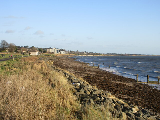
Balmossie is surrounded by natural beauty, with the nearby Broughty Ferry beach offering stunning views over the River Tay. The beach is a popular spot for residents to enjoy leisurely walks, picnics, and water-based activities.

In summary, Balmossie is a charming village in Angus, Scotland, offering a peaceful and rural setting while still providing easy access to nearby amenities and attractions.

If you have any feedback on the listing, please let us know in the comments section below.
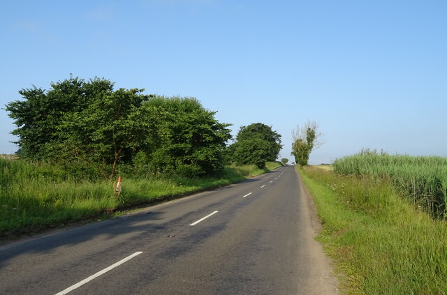
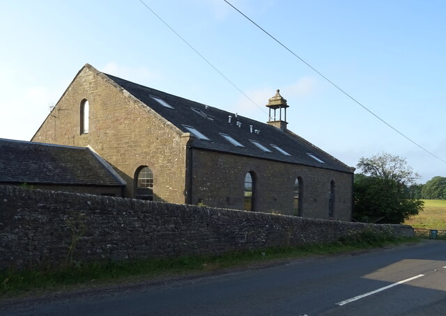
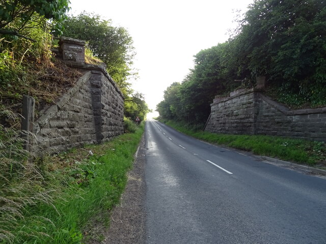
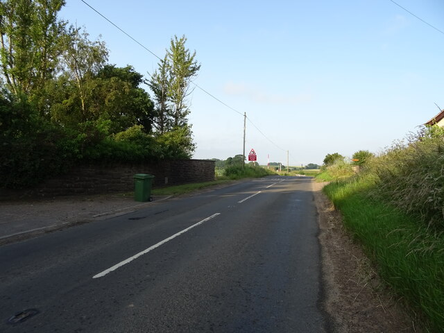
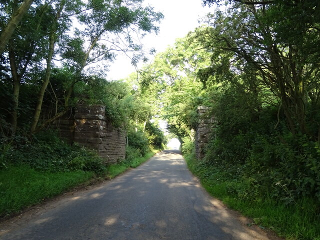
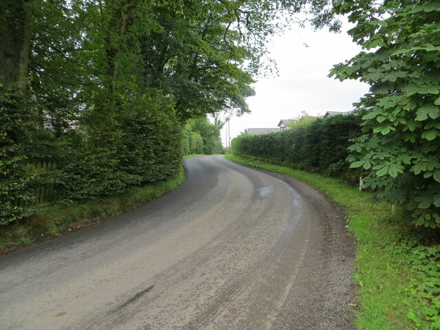
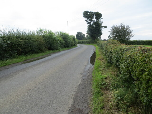
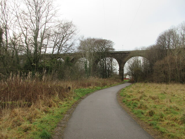
Balmossie Images

Images are sourced within 2km of 56.487474/-2.8549277 or Grid Reference NO4733. Thanks to Geograph Open Source API. All images are credited.

Appletree Clinic. East Pitkerro
Crop field, East Pitkerro Off Drumsturdy Road.
Crop field, East Pitkerro
Off Drumsturdy Road.
Drumsturdy Road (B961) Towards Dundee.
Drumsturdy Road (B961)
Towards Dundee.
Cereal crop near Hillock
Drumsturdy Road (B961) Towards Dundee.
Drumsturdy Road (B961)
Towards Dundee.
Former church, West Hillocks
Remains of railway bridge over Drumsturdy Road (B961) The former Dundee to Forfar railway.
Remains of railway bridge over Drumsturdy Road (B961)
The former Dundee to Forfar railway.
Drumsturdy Road (B961) Towards Dundee.
Drumsturdy Road (B961)
Towards Dundee.
South Kingennie Steadings
Minor road, South Kingennie  Looking west.
Minor road, South Kingennie
Looking west.
Farm road, South Kingennie
Cereal crop, South Kingennie The line of trees marks the course of the former Dundee to Forfar railway.
Cereal crop, South Kingennie
The line of trees marks the course of the former Dundee to Forfar railway.
Remains of a railway bridge, South Kingennie The former Dundee to Forfar railway.
Remains of a railway bridge, South Kingennie
The former Dundee to Forfar railway.
Road at South Kingennie Looking westward.
Road at South Kingennie
Looking westward.
Road near to South Kingennie Looking south-eastward.
Road near to South Kingennie
Looking south-eastward.
Balmossie (Seven Arches) Viaduct The Monifieth Path Network heading westwards to the Seven Arches Viaduct.
Balmossie (Seven Arches) Viaduct
The Monifieth Path Network heading westwards to the Seven Arches Viaduct.
Coastline at Barnhill Looking along the coast at Barnhill towards Monifieth.
Coastline at Barnhill
Looking along the coast at Barnhill towards Monifieth.
Barnhill St Margaret's Church The south elevation of Barnhill St Margaret's Church viewed from Guthrie Terrace.
Barnhill St Margaret's Church
The south elevation of Barnhill St Margaret's Church viewed from Guthrie Terrace.
Show me another place!

Balmossie is located at Grid Ref: NO4733 (Lat: 56.487474, Lng: -2.8549277)

Unitary Authority: City of Dundee

Police Authority: Tayside

What 3 Words

///activates.shade.bootleg. Near Monifieth, Angus

Nearby Locations

Roman Hill Balmossie

Related Wikis

Barnhill, Dundee

Barnhill is an area in Dundee, located within the suburb of Broughty Ferry. It is approximately 4½ miles east of Dundee City Centre. Until the late 19th...

Kingennie railway station

Kingennie railway station served the village of Kingennie, Angus, Scotland, from 1870 to 1955 on the Dundee and Forfar direct line. == History == The station...

Barnhill railway station (Angus)

Barnhill railway station was a railway station in Scotland serving the suburb of Barnhill, Dundee. == History == The station was opened as Barnhill on...

Forthill

Forthill is a cricket ground in Broughty Ferry, Dundee, Scotland. It has been used for cricket since, at the latest, 1884, when Forfarshire played Aberdeenshire...

Balmossie railway station

Balmossie railway station is a small railway station at the border between Dundee and Angus which serves the east of Broughty Ferry and the west of Monifieth...
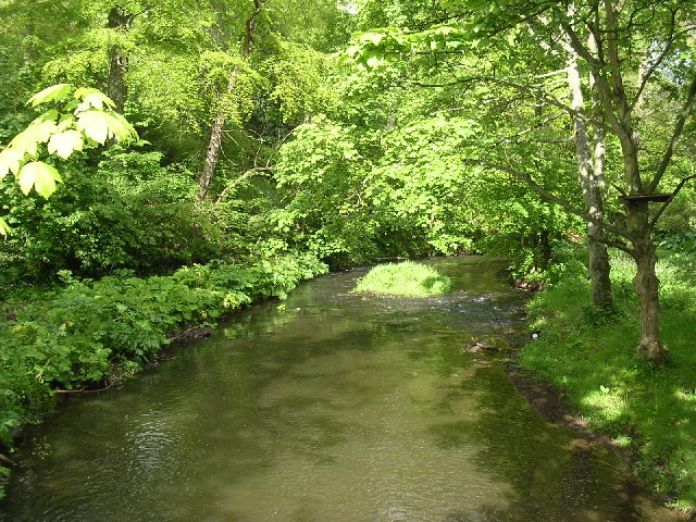
Dighty Burn

The Dighty Burn, also known as Dighty Water or Dichty Water, is a burn or stream 20 kilometres (12 mi) in length that flows through the north and east...

Ashludie Hospital

Ashludie Hospital was a health facility in Victoria Street, Monifieth, Angus, Scotland. It was managed by NHS Tayside. It remains a Category B listed building...

Kingennie

Kingennie is a village in Angus, Scotland, two miles north of Monifieth. It is mostly known for the Forbes Of Kingennie holiday and golf resort. The village...

Related Videos

Broughty Ferry Castle | Broughty Ferry Harbour

Discover Broughty Ferry Castle and Harbour A short film originally produced back in 2015 whilst I was on a two-day trip to ...

Broughty Ferry Castle, Dundee, Angus.

Broughty Ferry Castle, Dundee, Angus. Broughty Castle is a historic castle located on the banks of the River Tay in Broughty Ferry ...

Broughty Castle

Broughty Castle is a historic castle completed in 1495, located on the banks of the river Tay in Broughty Ferry, Dundee, Scotland.

PART 1, 6-7th of August. Scotland trip

flighttoscotland #praveenkumarthariniroshankumar #edinburgh #broughtyferry.

Nearby Amenities

Located within 500m of 56.487474,-2.8549277
Fast Food
Domino's
Addr City: Broughty Ferry
Addr Street: Lawers Drive
Brand: Domino's
Brand Wikidata: Q839466
Brand Wikipedia: en:Domino's Pizza
Contact Website: https://www.dominos.co.uk/pizza-near-me/dundee/144-lawers-drive
Cuisine: pizza
Outdoor Seating: no
Takeaway: only
Lat/Long: 56.48359/-2.853127
Fast Food
Tong's Dynasty
Created By: Potlatch 0.10b
Lat/Long: 56.4834074/-2.8532017
Pharmacy
Panmurefield Pharmacy
Healthcare: pharmacy
Lat/Long: 56.48363/-2.852955
Bus Stop
Panmurefield Village
Naptan AtcoCode: 64006865
Naptan CommonName: Panmurefield Village
Naptan Indicator: Stop 2
Naptan NaptanCode: 36325835
Operator: Stagecoach
Public Transport: platform
Route Ref: 39
Shelter: no
Towards: Montrose
Lat/Long: 56.4845899/-2.8535834
Bus Stop
Panmurefield Village
Naptan AtcoCode: 64006863
Naptan CommonName: Panmurefield Village
Naptan Indicator: Stop 1
Naptan NaptanCode: 36325834
Operator: Strathtay
Public Transport: platform
Route Ref: 39
Shelter: no
Towards: Dundee City Centre
Lat/Long: 56.4843432/-2.8534816
Balmossie
Place: suburb
Source: OS_OpenData_StreetView
Lat/Long: 56.487349/-2.8551921
Post Box
Collection Times: Mo-Fr 17:15; Sa 10:45
Operator: Royal Mail
Operator Wikidata: Q638098
Post Box Type: pillar
Ref: DD5 112
Royal Cypher: scottish_crown
Lat/Long: 56.4837553/-2.8531676
Co-op Food
Addr Housenumber: 134
Addr Postcode: DD5 3UN
Addr Street: Lawers Drive
Brand: Co-op Food
Brand Wikidata: Q3277439
Operator: The Co-operative Group
Operator Wikidata: Q117202
Shop: convenience
Source: Local knowledge
Website: https://www.coop.co.uk/store-finder/DD5-3UN/134-lawers-drive
Lat/Long: 56.4838614/-2.8523365
Dentist
Panmure Dental Care
Addr City: Broughty Ferry
Addr Street: Lawers Drive
Healthcare: dentist
Website: https://www.panmuredentalcare.com/
Lat/Long: 56.483412/-2.853413
Curves
Addr City: Broughty Ferry
Addr Street: Lawers Drive
Branch: Fitness
Brand: Curves
Brand Wikidata: Q5196080
Leisure: fitness_centre
Operator: Curves
Website: http://www.curvesdundeeeast.co.uk/
Lat/Long: 56.48378/-2.852576
Fast Food
Best Kebab and Pizza House
Addr City: Dundee
Addr Housenumber: 140
Addr Postcode: DD5 3TZ
Addr Street: Lawers Drive
Cuisine: pizza;kebab
Opening Hours: Mo-Th 12:00-23:00; Fr-Su 15:00-23:00
Lat/Long: 56.483678/-2.852835
Bladez Hair & Beauty
Addr City: Broughty Ferry
Addr Street: Lawers Drive
Shop: beauty
Lat/Long: 56.48375/-2.852629
Fast Food
Village Curry House
Addr City: Broughty Ferry
Addr Street: Lawers Drive
Cuisine: indian
Drive Through: no
Outdoor Seating: no
Takeaway: only
Lat/Long: 56.483518/-2.853183
Crossing
Crossing: unmarked
Crossing Markings: no
Lat/Long: 56.4843443/-2.851533
Barrier: yes
Lat/Long: 56.4886394/-2.85534
Barrier: cycle_barrier
Lat/Long: 56.4870459/-2.8545714
Barrier: cycle_barrier
Lat/Long: 56.4873829/-2.8539066
Barrier: cycle_barrier
Lat/Long: 56.4869915/-2.8539882
Traffic Calming: choker
Lat/Long: 56.4872223/-2.8536357
Power: pole
Lat/Long: 56.489516/-2.8614724
Power: pole
Lat/Long: 56.4896042/-2.8600316
Power: pole
Lat/Long: 56.4896972/-2.8585398
Power: pole
Lat/Long: 56.4897853/-2.8570946
Power: pole
Lat/Long: 56.4899003/-2.855554
Power: pole
Lat/Long: 56.4895809/-2.854162
Power: pole
Lat/Long: 56.4893337/-2.8529983
Power: pole
Lat/Long: 56.4890302/-2.8515508
Power: pole
Lat/Long: 56.488794/-2.8504736
Power: pole
Lat/Long: 56.4890841/-2.8489485
Power: pole
Lat/Long: 56.4893362/-2.8476496
Power: pole
Lat/Long: 56.4900153/-2.8519166
Power: pole
Lat/Long: 56.4895797/-2.8510831
Power: pole
Lat/Long: 56.4892346/-2.8504403
Power: pole
Lat/Long: 56.4894047/-2.8493608
Power: pole
Lat/Long: 56.4888858/-2.8529828
Power: pole
Lat/Long: 56.4893521/-2.8525284
Power: pole
Lat/Long: 56.490686/-2.8512981
Power: pole
Lat/Long: 56.4868286/-2.8629886
Power: pole
Lat/Long: 56.4867563/-2.8617384
Power: pole
Lat/Long: 56.4866841/-2.8605237
Power: pole
Lat/Long: 56.4866633/-2.8600781
Power: pole
Lat/Long: 56.486361/-2.8578793
Power: pole
Lat/Long: 56.4856279/-2.8575822
Power: pole
Lat/Long: 56.4848801/-2.8572963
Power: pole
Lat/Long: 56.4841396/-2.8570081
Crossing
Crossing: traffic_signals
Crossing Island: yes
Lat/Long: 56.4845994/-2.8530609
Crossing
Crossing: traffic_signals
Crossing Island: yes
Lat/Long: 56.4845108/-2.8527674
Bus Stop
Bell Tree
Naptan AtcoCode: 6400L00063
Naptan CommonName: Bell Tree
Naptan Indicator: at
Naptan NaptanCode: 36325758
Naptan Verified: no
Public Transport: platform
Shelter: yes
Lat/Long: 56.4840782/-2.8522047
Mini Roundabout
Lat/Long: 56.4841667/-2.8514551
The data included in this document is from www.openstreetmap.org. The data is made available under ODbL.

Have you been to Balmossie?

Leave your review of Balmossie below (or comments, questions and feedback).