Alwoodley
Settlement in Yorkshire
England
Alwoodley

Alwoodley is a suburban area located in the northeast of Leeds, West Yorkshire, England. It is part of the county of Yorkshire and the metropolitan borough of Leeds. With its prime location, Alwoodley offers a pleasant mix of urban convenience and natural beauty.
The area is known for its affluent character, boasting a number of upscale residential properties and a high standard of living. Alwoodley is particularly popular among professionals and families seeking a tranquil environment within close proximity to the city center. It is also home to several prestigious golf courses, including the Alwoodley Golf Club, which has a rich history dating back to 1907.
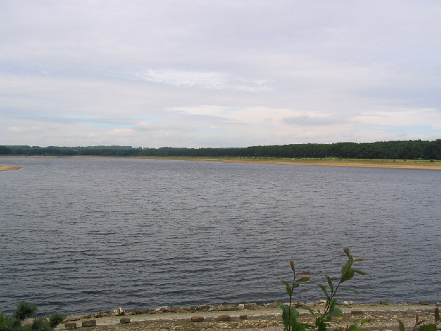
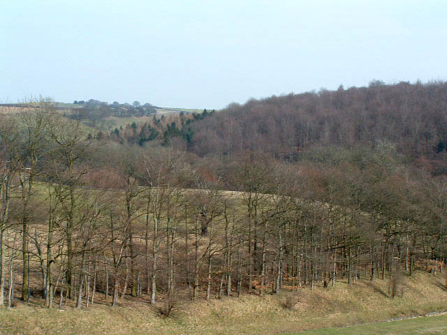
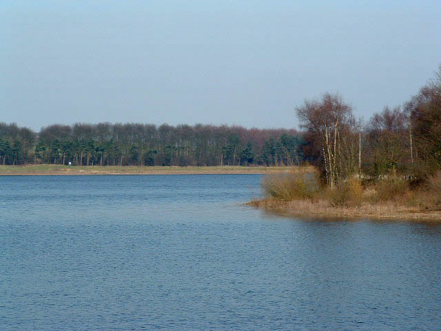
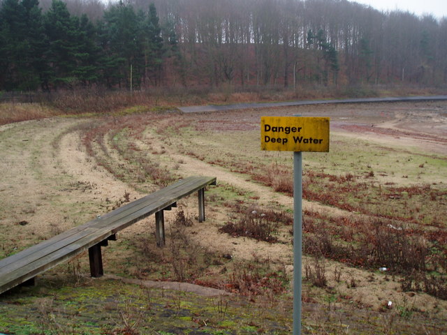
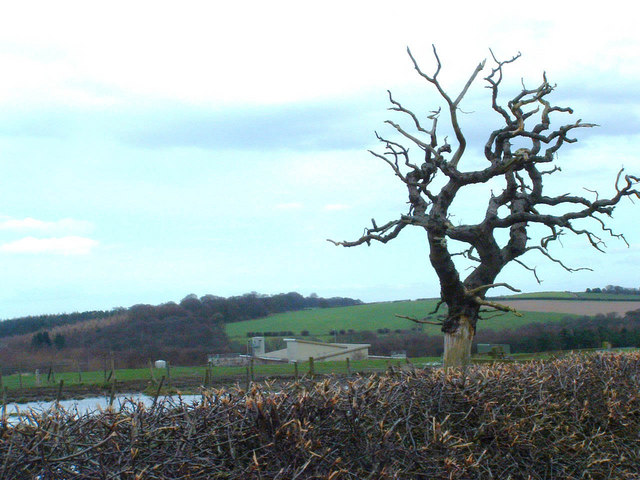
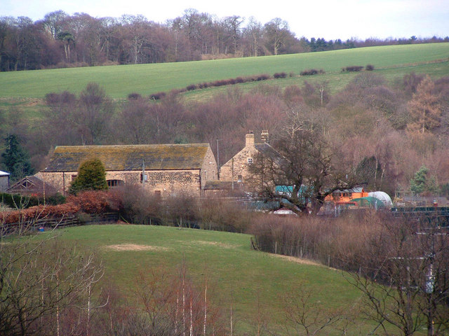
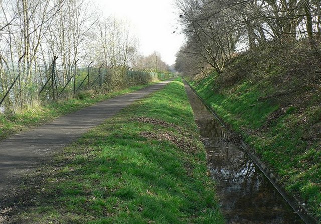
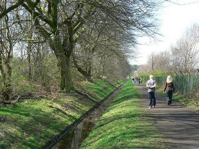
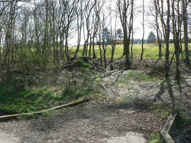
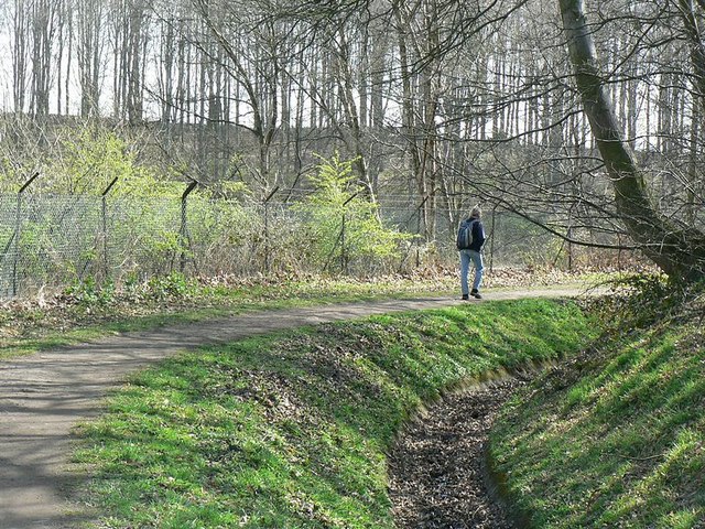
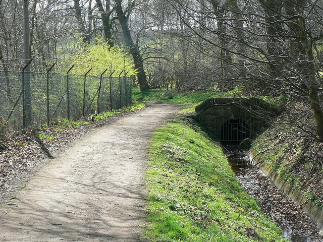
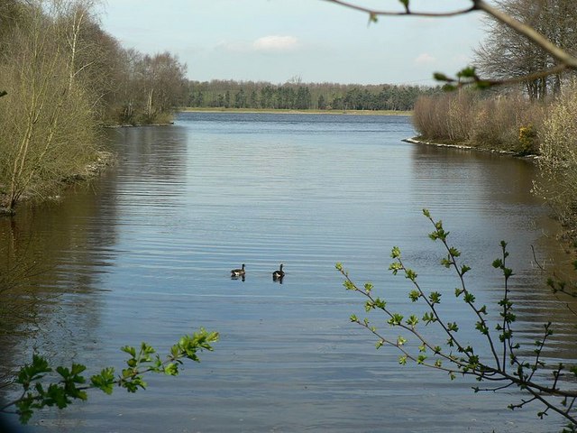
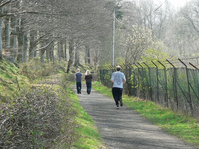
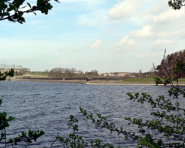
Alwoodley is surrounded by picturesque countryside, providing ample opportunities for outdoor activities such as hiking and cycling. The nearby Eccup Reservoir is a popular spot for water sports enthusiasts and nature lovers alike, offering serene views and a variety of wildlife.
In terms of amenities, Alwoodley benefits from a range of local shops, restaurants, and leisure facilities. The area is well-served by public transportation, with regular bus services connecting it to Leeds city center and surrounding areas. There are also several reputable schools in the vicinity, making it an attractive choice for families.
Overall, Alwoodley is a highly sought-after residential area that offers a desirable combination of natural beauty, convenience, and a high standard of living.
If you have any feedback on the listing, please let us know in the comments section below.
Alwoodley Images
Images are sourced within 2km of 53.861631/-1.53849 or Grid Reference SE3040. Thanks to Geograph Open Source API. All images are credited.


Alwoodley is located at Grid Ref: SE3040 (Lat: 53.861631, Lng: -1.53849)
Division: West Riding
Unitary Authority: Leeds
Police Authority: West Yorkshire
What 3 Words
///unity.stow.nuns. Near Chapel Allerton, West Yorkshire
Nearby Locations
Related Wikis

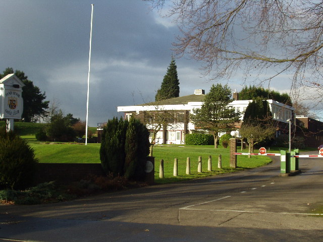
Sand Moor Golf Club
Sand Moor Golf Club is a golf club located in Alwoodley, North Leeds, West Yorkshire, England. It was founded in 1925. The 18-hole golf course was designed...
1929 Ryder Cup
The 2nd Ryder Cup Matches were held at the Moortown Golf Club in Leeds, England. It was very cold, with hail and at one point heavy snow on the greens...

Alwoodley
Alwoodley is a suburb and civil parish of Leeds in West Yorkshire, England. It is 5 miles (8.0 km) north of central Leeds and is one of the most affluent...
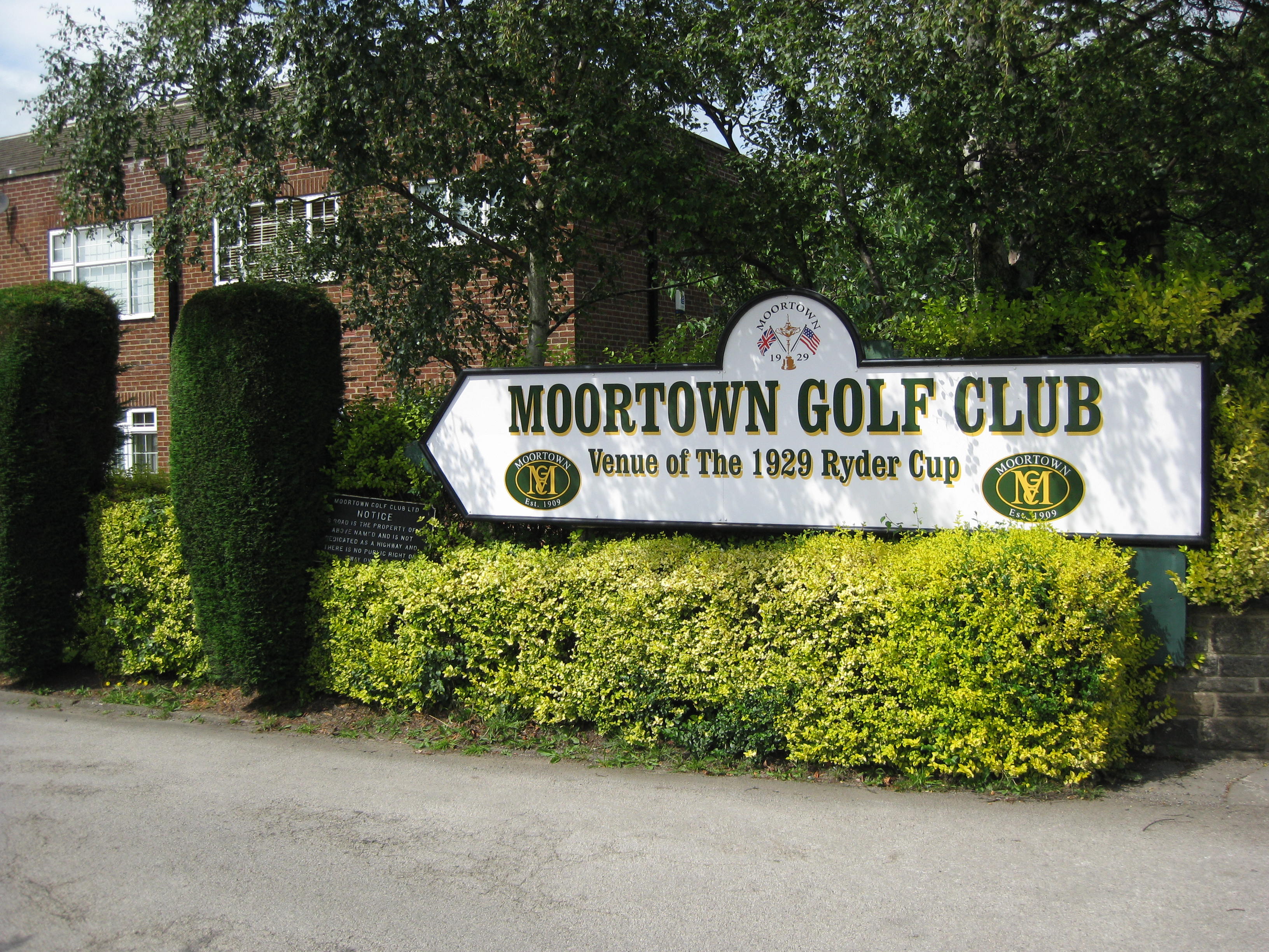
Moortown Golf Club
Moortown Golf Club is a golf club located in Alwoodley, near Leeds, West Yorkshire, England. It was founded in 1909, and the championship golf course was...
Nearby Amenities
Located within 500m of 53.861631,-1.53849Have you been to Alwoodley?
Leave your review of Alwoodley below (or comments, questions and feedback).