Alwoodley Gates
Settlement in Yorkshire
England
Alwoodley Gates

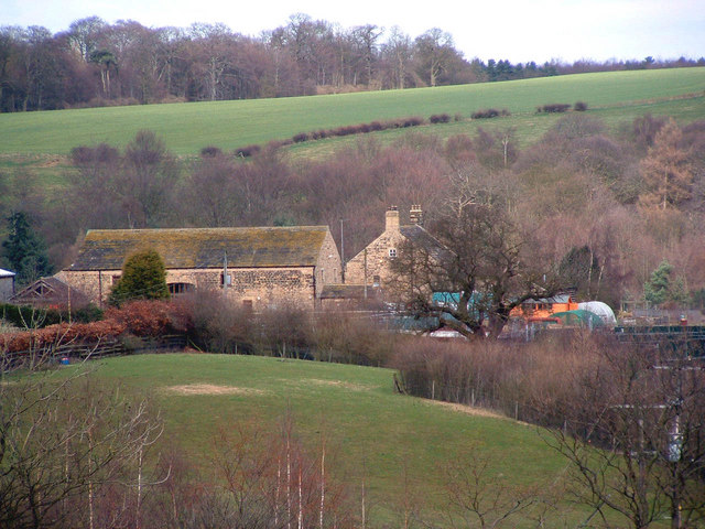
Alwoodley Gates is a small village located in the county of Yorkshire, England. Situated approximately six miles north of Leeds city center, it falls within the boundaries of the Leeds City Council. Alwoodley Gates is part of the larger Alwoodley area, known for its affluent and residential character.
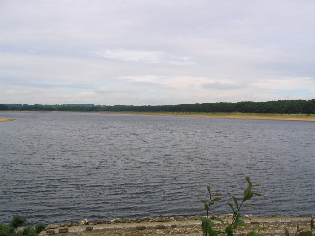
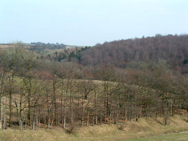
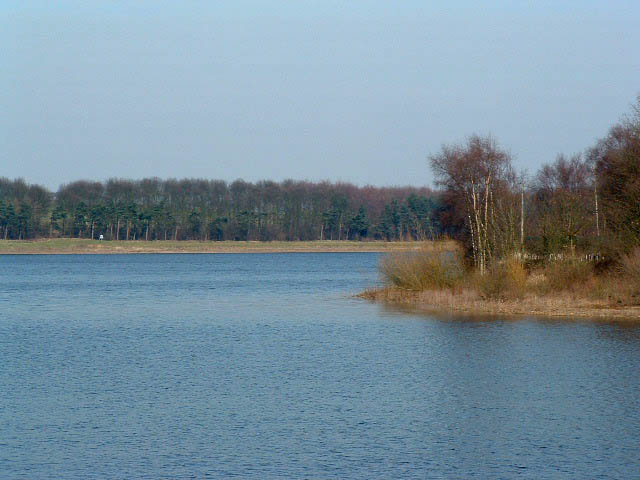
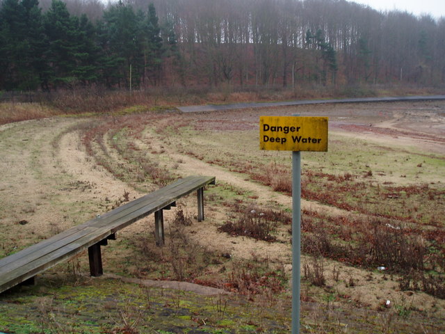
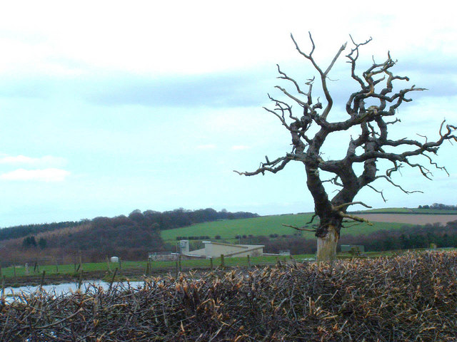
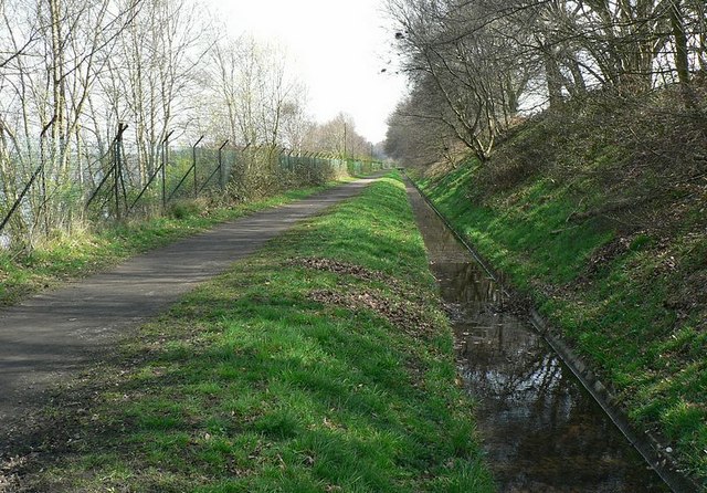
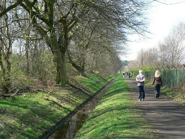
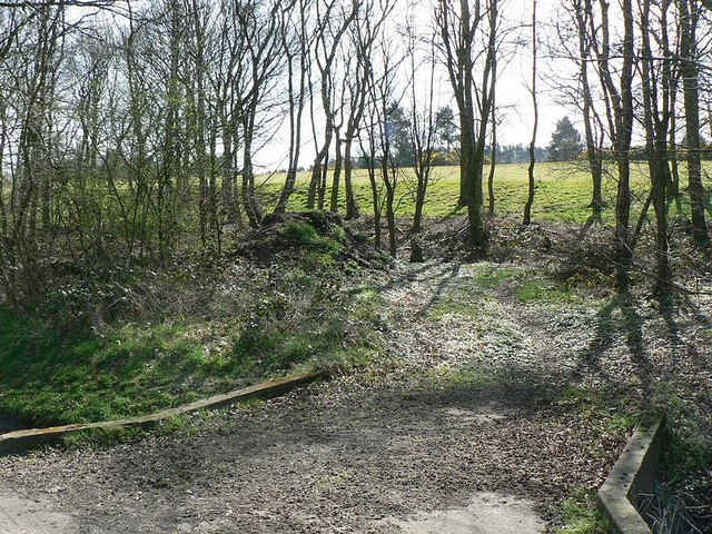
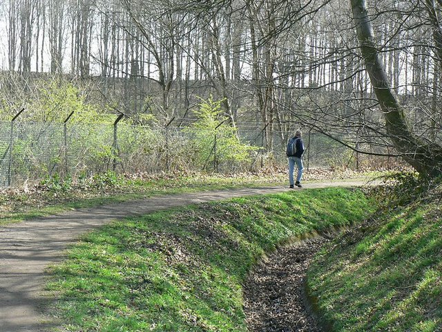
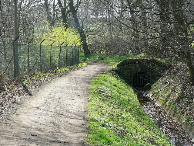
The village is nestled between the picturesque countryside of Yorkshire, offering stunning views and a peaceful environment. It is well-connected to the surrounding areas by a network of roads, including the A61 and A6120, providing easy access for commuters and visitors.
Alwoodley Gates itself consists mainly of residential properties, ranging from modern houses to traditional cottages. The area is known for its affluent and desirable housing, with spacious gardens and well-maintained streets. The village also boasts a close-knit community, with various local events and activities organized throughout the year.
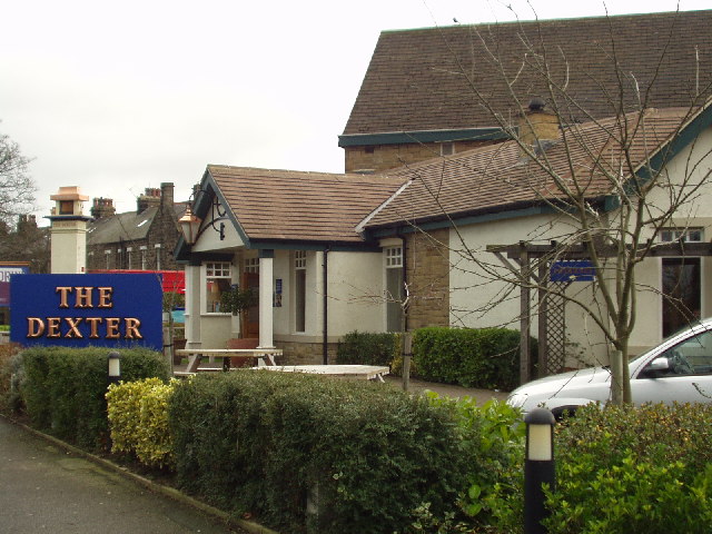
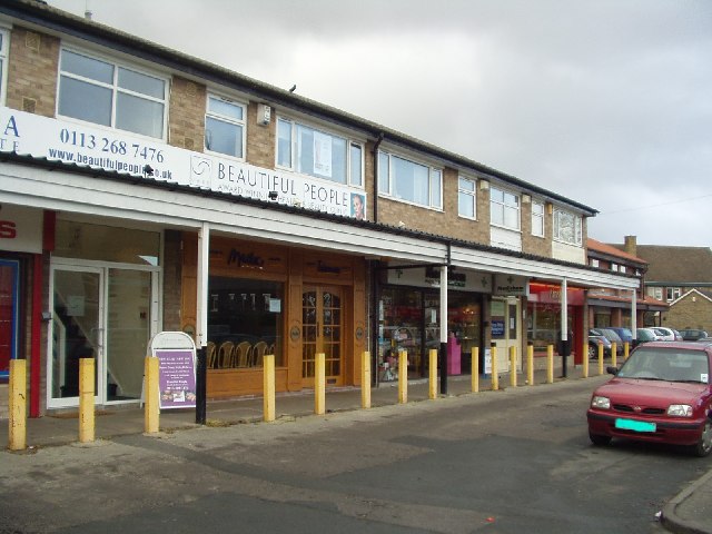
In terms of amenities, Alwoodley Gates offers a range of facilities to cater to the needs of its residents. These include local shops, cafes, and restaurants, providing a convenient and enjoyable shopping and dining experience. The nearby Alwoodley Park provides ample green space for recreational activities and leisurely walks.
Overall, Alwoodley Gates is a charming village in Yorkshire, offering a tranquil and picturesque setting, while also providing easy access to the nearby city of Leeds. Its blend of natural beauty, residential appeal, and community spirit make it an attractive place to live for those seeking a peaceful yet well-connected lifestyle.
If you have any feedback on the listing, please let us know in the comments section below.
Alwoodley Gates Images
Images are sourced within 2km of 53.862926/-1.52479 or Grid Reference SE3140. Thanks to Geograph Open Source API. All images are credited.


Alwoodley Gates is located at Grid Ref: SE3140 (Lat: 53.862926, Lng: -1.52479)
Division: West Riding
Unitary Authority: Leeds
Police Authority: West Yorkshire
What 3 Words
///media.swept.humans. Near Shadwell, West Yorkshire
Nearby Locations
Related Wikis

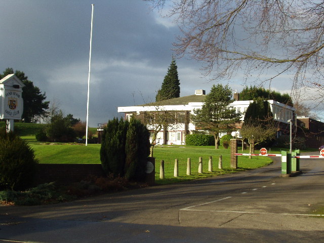
Alwoodley Golf Club
Alwoodley Golf Club is a golf club located in Alwoodley, North Leeds, West Yorkshire, England. It was founded in 1907. The 18-hole golf course was the...
Leeds Grammar School
Leeds Grammar School was an independent school founded 1552 in Leeds, West Yorkshire, England. Originally a male-only school, in August 2005 it merged...
Grammar School at Leeds
The Grammar School at Leeds (GSAL) is an independent day school in Leeds, England, created on 4 August 2005 by the merger of Leeds Grammar School (founded...

Alwoodley
Alwoodley is a suburb and civil parish of Leeds in West Yorkshire, England. It is 5 miles (8.0 km) north of central Leeds and is one of the most affluent...
Nearby Amenities
Located within 500m of 53.862926,-1.52479Have you been to Alwoodley Gates?
Leave your review of Alwoodley Gates below (or comments, questions and feedback).