Alwinton

Settlement in Northumberland

England

Alwinton

The approach to Harbottle Castle From the neat drystone walled car park.
The approach to Harbottle Castle Credit: Russel Wills

Alwinton is a small village located in the county of Northumberland, in the northern part of England. Situated in the North Pennines Area of Outstanding Natural Beauty, Alwinton is surrounded by picturesque landscapes and offers a peaceful and idyllic setting.

The village itself is characterized by its quaint charm and traditional architecture, with stone-built houses and cottages lining its streets. The population of Alwinton is relatively small, with just over 100 residents, contributing to its intimate and close-knit community atmosphere.

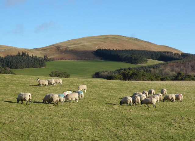
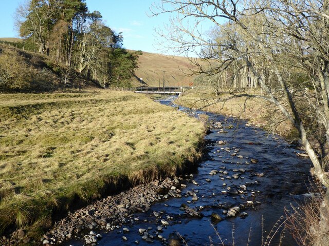
Alwinton is renowned for its stunning natural surroundings, making it a popular destination for outdoor enthusiasts and nature lovers. The village is situated near the River Coquet, which meanders through the area, providing opportunities for fishing and riverside walks. The surrounding hills and moorland offer breathtaking views and attract hikers and cyclists.

One of Alwinton's notable landmarks is the historic St. Michael and All Angels Church, which dates back to the 12th century. The church is a beautiful example of Norman architecture and features intricate stained glass windows.

The village is also known for hosting the Alwinton Border Shepherd's Show, an annual agricultural show that celebrates the local farming community with various competitions, demonstrations, and entertainment for all ages.

Overall, Alwinton is a charming and tranquil village, offering a peaceful retreat for those seeking to explore the natural beauty of Northumberland.

If you have any feedback on the listing, please let us know in the comments section below.
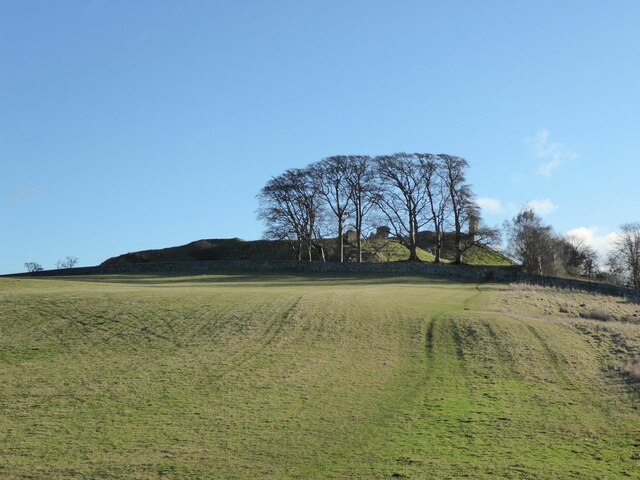
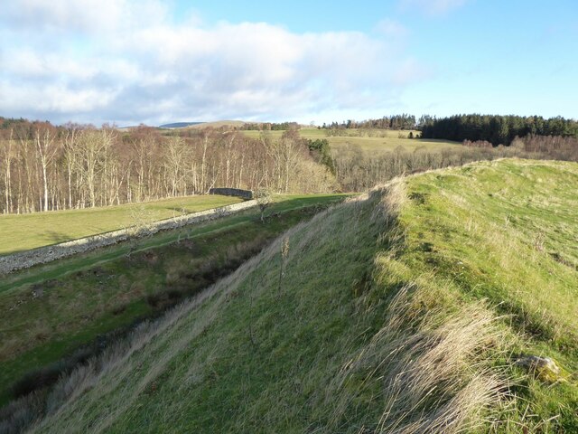
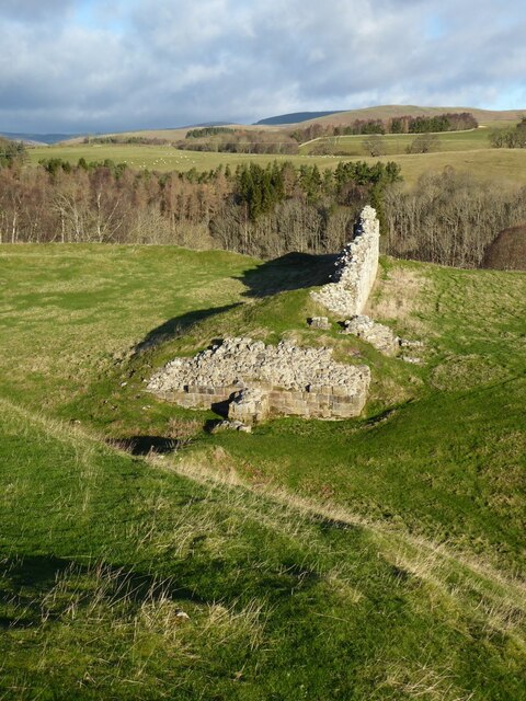
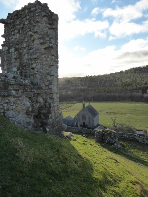
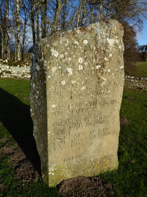
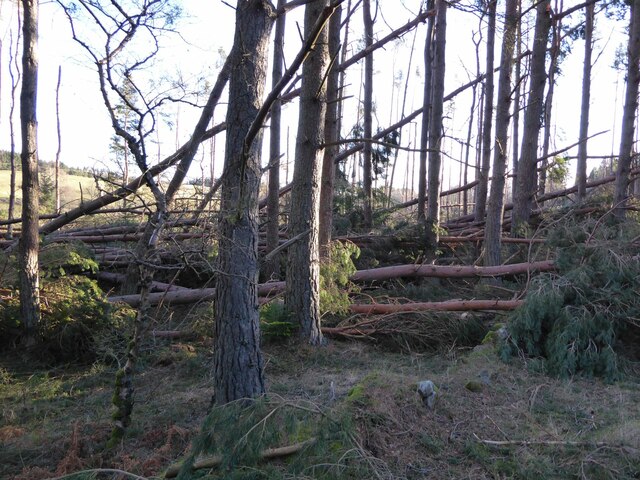
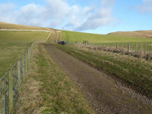
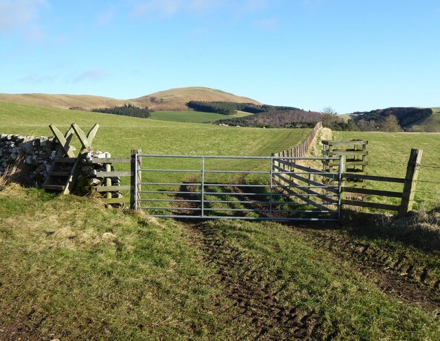
Alwinton Images

Images are sourced within 2km of 55.350913/-2.125814 or Grid Reference NT9206. Thanks to Geograph Open Source API. All images are credited.

The approach to Harbottle Castle From the neat drystone walled car park.
The approach to Harbottle Castle
From the neat drystone walled car park.
Harbottle Castle Ramparts around the outer bailey.
Harbottle Castle
Ramparts around the outer bailey.
Harbottle Castle - the ruined gateway Looking down on some dressed masonry at the gateway.
The castle has been quarried for much of its stone.
Harbottle Castle - the ruined gateway
Looking down on some dressed masonry at the gateway. The castle has been quarried for much of its stone.
Looking down on the former Presbyterian Church From Harbottle Castle.
Looking down on the former Presbyterian Church
From Harbottle Castle.
The Sad Castle Stone In the neat drystone walled carpark for Harbottle Castle is a 'new' standing stone. 
On it is carved a poem by local schoolgirl Felicity Lane:

The Sad Castle
Who Made me/Into a ruin/like an old city?
Was it the soldiers who rode out on horseback?
Was it my old enemy the Scots?
Or was it those Border Reivers?
Perhaps it was just the centuries passing.

Felicity Lance

It was carved into the stone by local stonemason David Edwick.
The Sad Castle Stone
In the neat drystone walled carpark for Harbottle Castle is a 'new' standing stone. On it is carved a poem by local schoolgirl Felicity Lane: The Sad Castle Who Made me/Into a ruin/like an old city? Was it the soldiers who rode out on horseback? Was it my old enemy the Scots? Or was it those Border Reivers? Perhaps it was just the centuries passing. Felicity Lance It was carved into the stone by local stonemason David Edwick.
Windfall due to the Storm Arwen The timber falling across the road cut the village off for days.
It brought the villagers out with their chainsaws.
Windfall due to the Storm Arwen
The timber falling across the road cut the village off for days. It brought the villagers out with their chainsaws.
Clennel Street Clennell Street was an important trading route that was used for many centuries linking Morpeth with Kelso. This view is taken soon after leaving Alwinton.
<span class="nowrap"><a title="http://www.border-roads.org/the-roads/clennell-street/map1/" rel="nofollow ugc noopener" href="http://www.border-roads.org/the-roads/clennell-street/map1/">Link</a><img style="margin-left:2px;" alt="External link" title="External link - shift click to open in new window" src="https://s1.geograph.org.uk/img/external.png" width="10" height="10"/></span>
Clennel Street
Clennell Street was an important trading route that was used for many centuries linking Morpeth with Kelso. This view is taken soon after leaving Alwinton. LinkExternal link
Leaving Clennel Street heading towards Clennel Through sheep pastures.
Silverton Hill above the coniferous forest.
Leaving Clennel Street heading towards Clennel
Through sheep pastures. Silverton Hill above the coniferous forest.
Sheep in pasture above Clennel Silverton Hill in the background.
Sheep in pasture above Clennel
Silverton Hill in the background.
The River Alwin At Clennel.
The footbridge links to a public footpath.
The River Alwin
At Clennel. The footbridge links to a public footpath.
Same storm, different car park Forestry England's car parks seem to have been particularly badly hit by Storm Arwen.  Three months on, this one at Harbottle has been partially cleared although the evidence of the impact is still clearly visible.
<a href="https://www.geograph.org.uk/photo/7089675">NU0809 : Stating the obvious</a>
<a href="https://www.geograph.org.uk/photo/7095369">NT9502 : Hope the picnic tables are alright</a>
Same storm, different car park
Forestry England's car parks seem to have been particularly badly hit by Storm Arwen. Three months on, this one at Harbottle has been partially cleared although the evidence of the impact is still clearly visible. NU0809 : Stating the obvious NT9502 : Hope the picnic tables are alright
Storm Arwen destruction at West Wood, Harbottle Interestingly, this wood, like several others, sustained much more damage nearer the valley floor than at its higher sections.  Presumably this must be due to the Venturi Effect, where the wind from the north, having had a long 'fetch' across open land over  Alwinton,  funnelled down at lower levels, increasing its speed.
Storm Arwen destruction at West Wood, Harbottle
Interestingly, this wood, like several others, sustained much more damage nearer the valley floor than at its higher sections. Presumably this must be due to the Venturi Effect, where the wind from the north, having had a long 'fetch' across open land over Alwinton, funnelled down at lower levels, increasing its speed.
Belted Galloway cattle and snowy Cheviots This breed of cattle seems to be increasingly popular on rough terrain in this area.  This small herd looked to be enjoying the fine weather after several wild days. Alwinton down in the valley.
<a href="https://www.geograph.org.uk/photo/7102853">NU1209 : Belted Galloway cattle</a>
Belted Galloway cattle and snowy Cheviots
This breed of cattle seems to be increasingly popular on rough terrain in this area. This small herd looked to be enjoying the fine weather after several wild days. Alwinton down in the valley. NU1209 : Belted Galloway cattle
Storm Arwen demolition of woods boundary Storm Arwen damage at the point where the West Wood car park path leads on to the open moor.
Storm Arwen demolition of woods boundary
Storm Arwen damage at the point where the West Wood car park path leads on to the open moor.
Clennell Street Identified on William Roy's 18th century map as the 'Road from Morpeth to Kelso', the origins of this cross-border track are far more ancient, with evidence of Iron Age and Bronze Age activity along the route. Close to this spot there is evidence of two Romano-British settlements as well as a cross dyke. For a selection of detailed free to download walking routes in the area visit <span class="nowrap"><a title="www.cheviotwalks.co.uk" rel="nofollow ugc noopener" href="http://www.cheviotwalks.co.uk">Link</a><img style="margin-left:2px;" alt="External link" title="External link - shift click to open in new window" src="https://s1.geograph.org.uk/img/external.png" width="10" height="10"/></span>
Clennell Street
Identified on William Roy's 18th century map as the 'Road from Morpeth to Kelso', the origins of this cross-border track are far more ancient, with evidence of Iron Age and Bronze Age activity along the route. Close to this spot there is evidence of two Romano-British settlements as well as a cross dyke. For a selection of detailed free to download walking routes in the area visit LinkExternal link
Cairn marking summit of Lord's Seat This small cairn marks the 392 metre high top of Lord's Seat. When the first edition of the Ordnance Survey Six-Inch map of the area was published in 1866, this cairn was not marked on it suggesting that this is a much later addition to the landscape rather than a shepherd's cairn like many others in the area. This is the same cairn as is shown in my photo at <a title="https://www.geograph.org.uk/photo/1307376" href="https://www.geograph.org.uk/photo/1307376">Link</a> although in the 13 years since that photo was taken the cairn has reduced in size. For a selection of detailed free to download walking routes in the area visit <span class="nowrap"><a title="www.cheviotwalks.co.uk" rel="nofollow ugc noopener" href="http://www.cheviotwalks.co.uk">Link</a><img style="margin-left:2px;" alt="External link" title="External link - shift click to open in new window" src="https://s1.geograph.org.uk/img/external.png" width="10" height="10"/></span>
Cairn marking summit of Lord's Seat
This small cairn marks the 392 metre high top of Lord's Seat. When the first edition of the Ordnance Survey Six-Inch map of the area was published in 1866, this cairn was not marked on it suggesting that this is a much later addition to the landscape rather than a shepherd's cairn like many others in the area. This is the same cairn as is shown in my photo at Link although in the 13 years since that photo was taken the cairn has reduced in size. For a selection of detailed free to download walking routes in the area visit LinkExternal link
Sheepfold alongside the Hosedon Burn Sheepfolds in this neck of the woods are called sheep stells and are invariably circular in construction. This particular one, which now seems to have fallen into disuse, was shown on the first edition of the Ordnance Survey Six-Inch map of the area published in 1866 indicating that it is now over 150 years old. For a selection of detailed free to download walking routes in the area visit <span class="nowrap"><a title="www.cheviotwalks.co.uk" rel="nofollow ugc noopener" href="http://www.cheviotwalks.co.uk">Link</a><img style="margin-left:2px;" alt="External link" title="External link - shift click to open in new window" src="https://s1.geograph.org.uk/img/external.png" width="10" height="10"/></span>
Sheepfold alongside the Hosedon Burn
Sheepfolds in this neck of the woods are called sheep stells and are invariably circular in construction. This particular one, which now seems to have fallen into disuse, was shown on the first edition of the Ordnance Survey Six-Inch map of the area published in 1866 indicating that it is now over 150 years old. For a selection of detailed free to download walking routes in the area visit LinkExternal link
Destruction of Ramshaugh Woods On November 26th/27th 2021 Storm Arwen slammed across the UK, with 100 mile an hour winds. One of the areas worst hit was Northumberland, including Rothbury and Coquetdale, where fallen trees across the valley left many without power and water for nearly a week. The Ramshaugh Woods - a diverse range of woodland including the Devil’s Elbow, the Fairy Wood, the Birch Wood and the Top End - was flattened, with almost 70% of mature trees torn down, broken or uprooted. 
We are raising £50,000 to make this diverse stretch of woodland safe for community access again and to save as much of the viable timber as possible. 
The sign links to <span class="nowrap"><a title="https://www.justgiving.com/crowdfunding/save-our-woodland" rel="nofollow ugc noopener" href="https://www.justgiving.com/crowdfunding/save-our-woodland">Link</a><img style="margin-left:2px;" alt="External link" title="External link - shift click to open in new window" src="https://s1.geograph.org.uk/img/external.png" width="10" height="10"/></span>
Destruction of Ramshaugh Woods
On November 26th/27th 2021 Storm Arwen slammed across the UK, with 100 mile an hour winds. One of the areas worst hit was Northumberland, including Rothbury and Coquetdale, where fallen trees across the valley left many without power and water for nearly a week. The Ramshaugh Woods - a diverse range of woodland including the Devil’s Elbow, the Fairy Wood, the Birch Wood and the Top End - was flattened, with almost 70% of mature trees torn down, broken or uprooted. We are raising £50,000 to make this diverse stretch of woodland safe for community access again and to save as much of the viable timber as possible. The sign links to LinkExternal link
Show me another place!

Alwinton is located at Grid Ref: NT9206 (Lat: 55.350913, Lng: -2.125814)

Unitary Authority: Northumberland

Police Authority: Northumbria

What 3 Words

///asterisk.downfield.surfer. Near Rochester, Northumberland

Nearby Locations

Alwinton

Related Wikis

Nearby Amenities

Located within 500m of 55.350913,-2.125814
Pub
Rose and Thistle
Addr City: Alwinton
Addr County: Northumberland
Addr Postcode: NE65 7BQ
Fhrs Id: 288393
Wikidata: Q79461637
Lat/Long: 55.3507452/-2.1263509
Alwinton
Place: hamlet
Wikidata: Q1424561
Wikipedia: en:Alwinton
Lat/Long: 55.3505236/-2.1273534
Post Box
Ref: NE65 90
Lat/Long: 55.3507458/-2.1257452
Barrier: cattle_grid
Lat/Long: 55.3487653/-2.1233546
Power: pole
Lat/Long: 55.3510404/-2.1240031
Power: pole
Lat/Long: 55.3514888/-2.1222882
Power: pole
Lat/Long: 55.3522359/-2.1208677
Power: pole
Lat/Long: 55.3527599/-2.1198677
Bus Stop
Shelter: yes
Lat/Long: 55.3507864/-2.1257898
The data included in this document is from www.openstreetmap.org. The data is made available under ODbL.

Have you been to Alwinton?

Leave your review of Alwinton below (or comments, questions and feedback).