Witches Syke Plantation
Wood, Forest in East Lothian
Scotland
Witches Syke Plantation
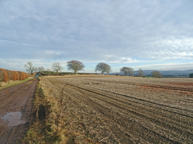
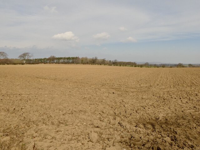
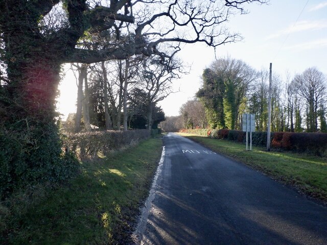
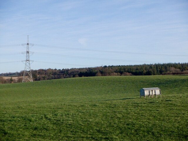
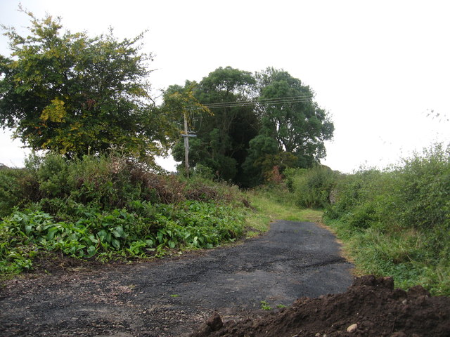
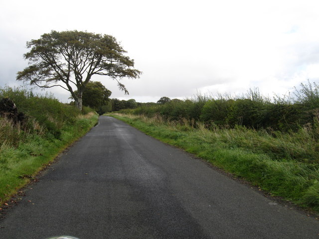
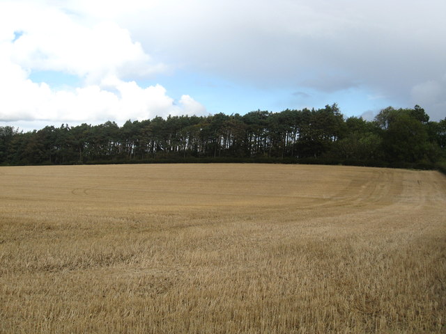
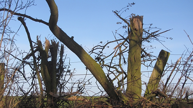
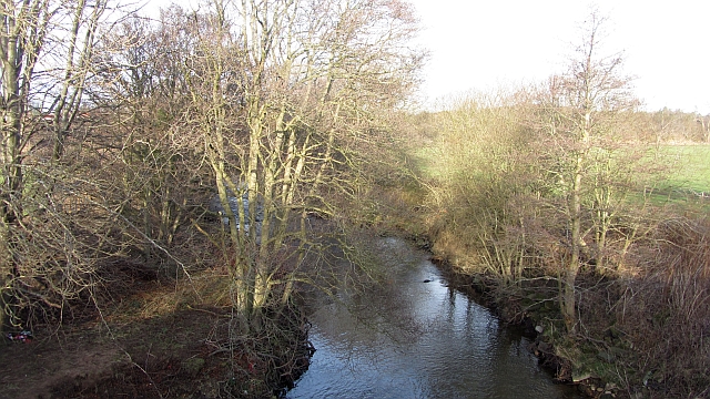
Witches Syke Plantation is a wood located in East Lothian, Scotland. Situated near the village of Gifford, this forested area covers an approximate area of 500 acres. The plantation is known for its diverse range of trees, including oak, beech, and birch, as well as an abundance of wildlife.
The name "Witches Syke" is said to have originated from local folklore, which tells tales of witches practicing their craft in the area many centuries ago. Despite its eerie name, the plantation is a popular destination for nature enthusiasts and hikers due to its beautiful scenery and tranquil atmosphere.
Visitors to Witches Syke Plantation can enjoy a network of well-maintained walking trails that wind through the forest, providing opportunities to explore the various habitats and observe the local flora and fauna. The woodland is home to numerous bird species, such as woodpeckers and owls, making it an ideal spot for birdwatching.
In addition to its natural beauty, Witches Syke Plantation also holds historical significance. The remains of an Iron Age hill fort can be found within its boundaries, serving as a reminder of human activity in the area dating back thousands of years.
Overall, Witches Syke Plantation offers a captivating blend of nature, history, and folklore, making it a cherished destination for both locals and tourists seeking an escape into the enchanting woodlands of East Lothian.
If you have any feedback on the listing, please let us know in the comments section below.
Witches Syke Plantation Images
Images are sourced within 2km of 55.876987/-2.8973694 or Grid Reference NT4365. Thanks to Geograph Open Source API. All images are credited.


Witches Syke Plantation is located at Grid Ref: NT4365 (Lat: 55.876987, Lng: -2.8973694)
Unitary Authority: East Lothian
Police Authority: The Lothians and Scottish Borders
What 3 Words
///awoken.emporium.elevate. Near Pencaitland, East Lothian
Nearby Locations
Related Wikis

Peaston
Peaston is a small settlement on the B6371 road in the parish of Ormiston in East Lothian, Scotland, about 14 miles (23 km) south-east of Edinburgh, 7...
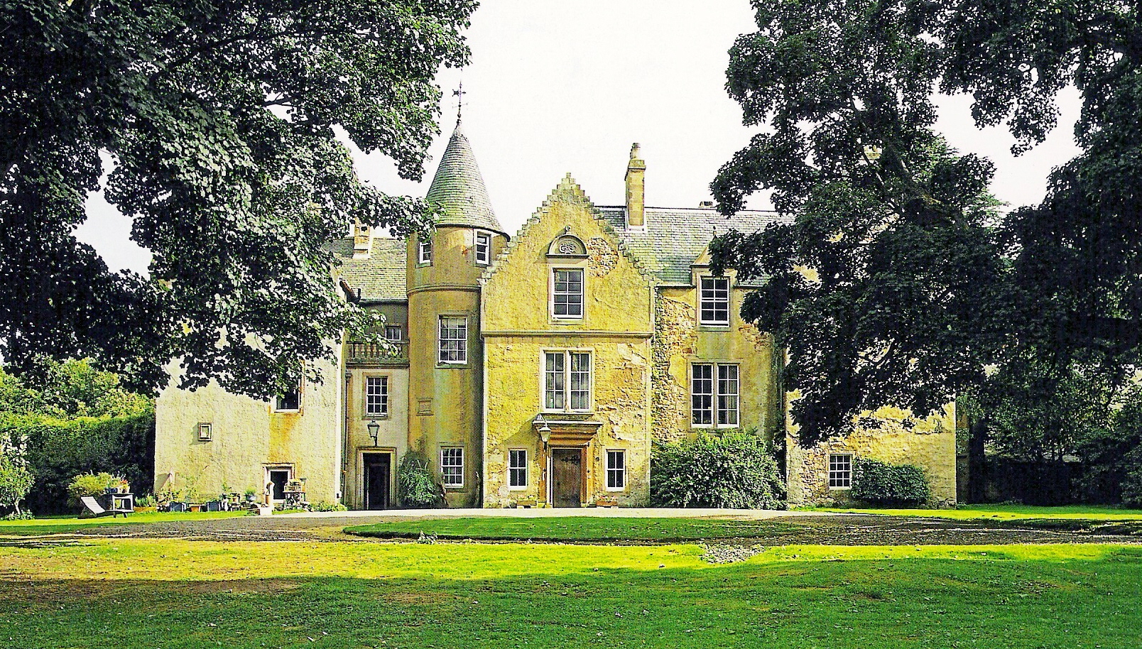
Keith Marischal
Keith Marischal is a Scottish Baronial Country house lying in the parish of Humbie, East Lothian, Scotland. The original building was an "L-shaped" Tower...

Glenkinchie distillery
Glenkinchie distillery is a Scotch single malt whisky distillery in East Lothian, Scotland. It is one of the six distilleries in the Lowland region. It...

Saltoun railway station
Saltoun railway station served the villages of East Saltoun and West Saltoun in East Lothian, Scotland, from 1901 to 1933 on the Macmerry Branch. ��2...
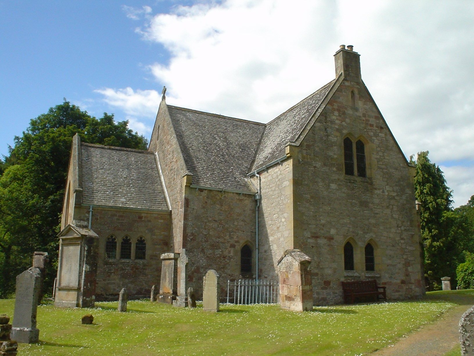
Humbie Parish Church
Humbie Parish Church is a church in the small village of Humbie, East Lothian, Scotland. It is part of the Church of Scotland, and is a linked charge which...

Humbie
Humbie is a hamlet and rural parish in East Lothian, Scotland lying in south-east of the county, approximately 10 miles (16 km) south-west of Haddington...
Pencaitland railway station
Pencaitland railway station served the village of Pencaitland, East Lothian, Scotland, from 1901 to 1933 on the Macmerry Branch. == History == The station...
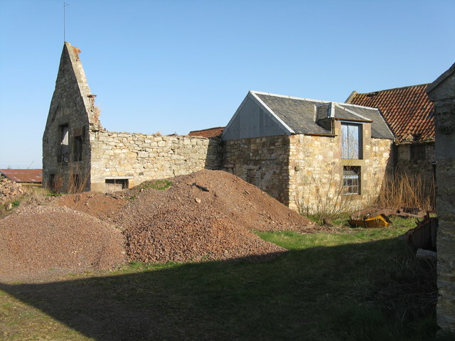
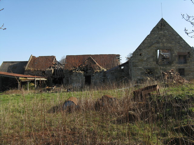
Ormiston Castle
Ormiston Castle is a ruined 16th-century tower house, about 4 miles (6.4 km) east of Dalkeith, East Lothian, Scotland, and north of Ormiston Mains.It was...
Nearby Amenities
Located within 500m of 55.876987,-2.8973694Have you been to Witches Syke Plantation?
Leave your review of Witches Syke Plantation below (or comments, questions and feedback).