Peaston, East
Settlement in East Lothian
Scotland
Peaston, East
Peaston is a small village located in the East Lothian region of Scotland, specifically in the eastern part of the country. It is situated near the town of Haddington and is approximately 17 miles east of the capital city, Edinburgh. Peaston is surrounded by picturesque countryside and offers residents and visitors a tranquil and rural setting.
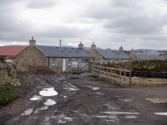
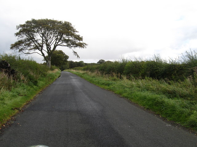
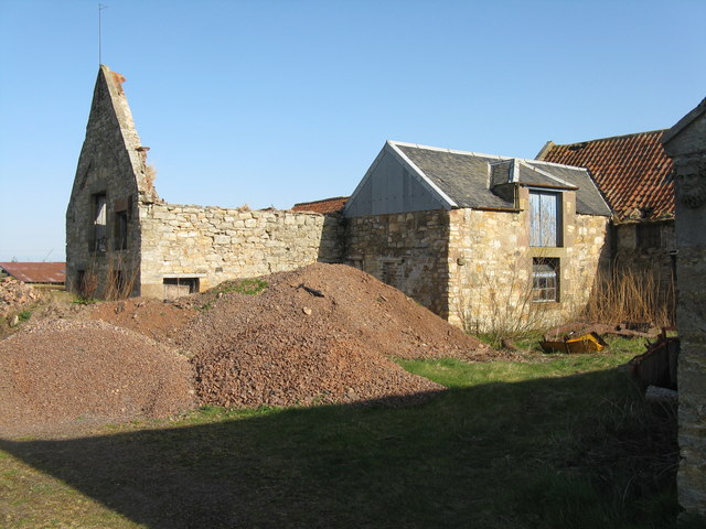
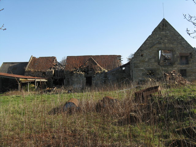
The village itself is characterized by traditional Scottish architecture, with charming stone houses and cottages lining the streets. It has a close-knit community, and the residents take pride in maintaining the village's historic character and natural beauty.
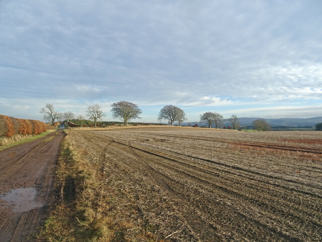
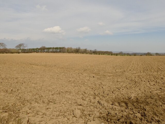
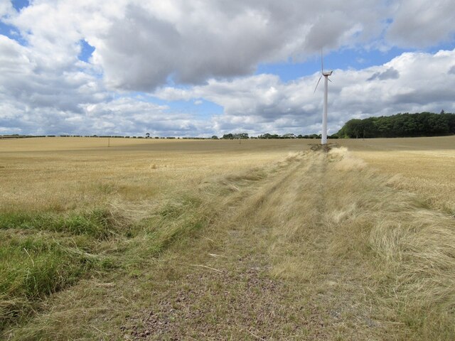
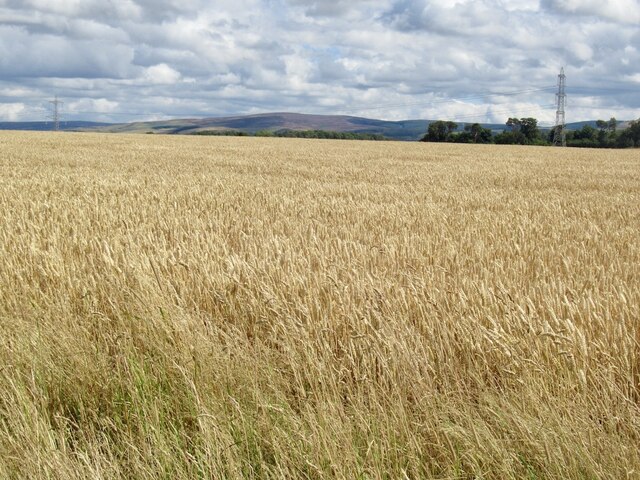
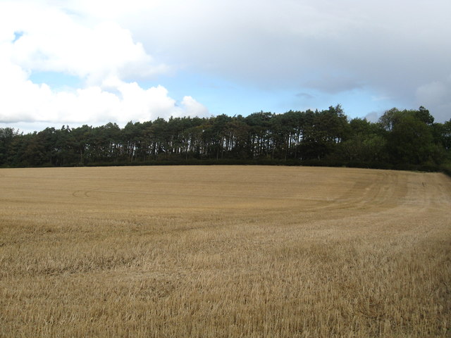
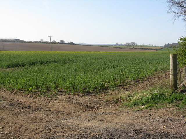
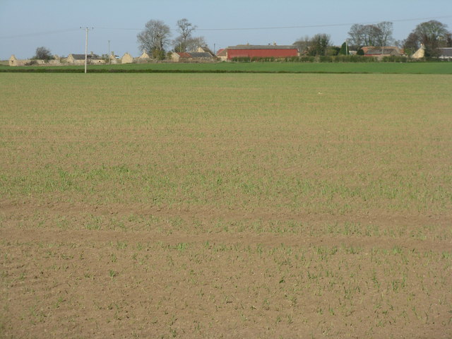
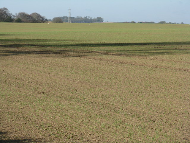
Peaston is known for its agricultural heritage, with farming being a significant part of the local economy. The fertile land surrounding the village is used for various agricultural activities, including crop cultivation and livestock farming.
Although Peaston is a small village, it benefits from its proximity to larger towns and cities. The nearby town of Haddington offers a range of amenities, including shops, restaurants, and schools. The city of Edinburgh is easily accessible by road and public transportation, providing residents with additional employment and recreational opportunities.
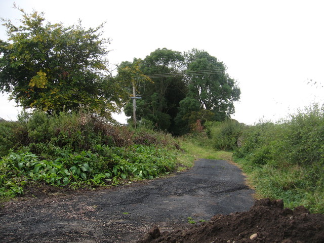
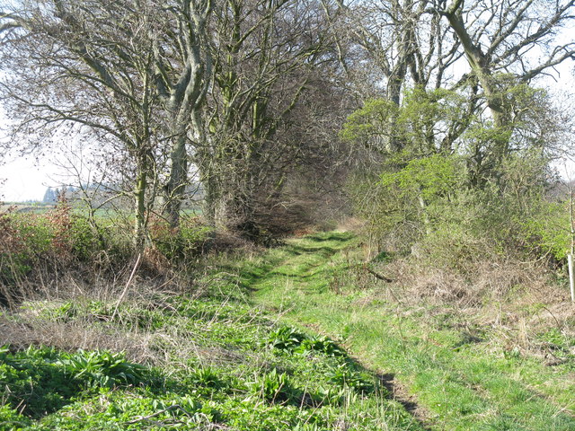
The surrounding area offers plenty of opportunities for outdoor activities, such as hiking, cycling, and horse riding. Peaston is also strategically located near East Lothian's beautiful coastline, allowing residents and visitors to enjoy stunning beaches and coastal walks.
Overall, Peaston is a charming village in East Lothian, with its picturesque setting, agricultural heritage, and proximity to larger towns and cities making it an attractive place to live or visit.
If you have any feedback on the listing, please let us know in the comments section below.
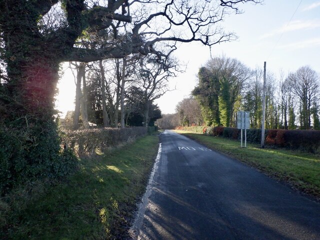
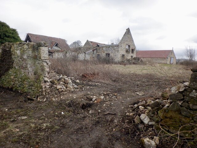
Peaston, East Images
Images are sourced within 2km of 55.874773/-2.9125497 or Grid Reference NT4365. Thanks to Geograph Open Source API. All images are credited.


Peaston, East is located at Grid Ref: NT4365 (Lat: 55.874773, Lng: -2.9125497)
Unitary Authority: East Lothian
Police Authority: The Lothians and Scottish Borders
What 3 Words
///brick.unopposed.stumpy. Near Pencaitland, East Lothian
Nearby Locations
Related Wikis

Peaston
Peaston is a small settlement on the B6371 road in the parish of Ormiston in East Lothian, Scotland, about 14 miles (23 km) south-east of Edinburgh, 7...
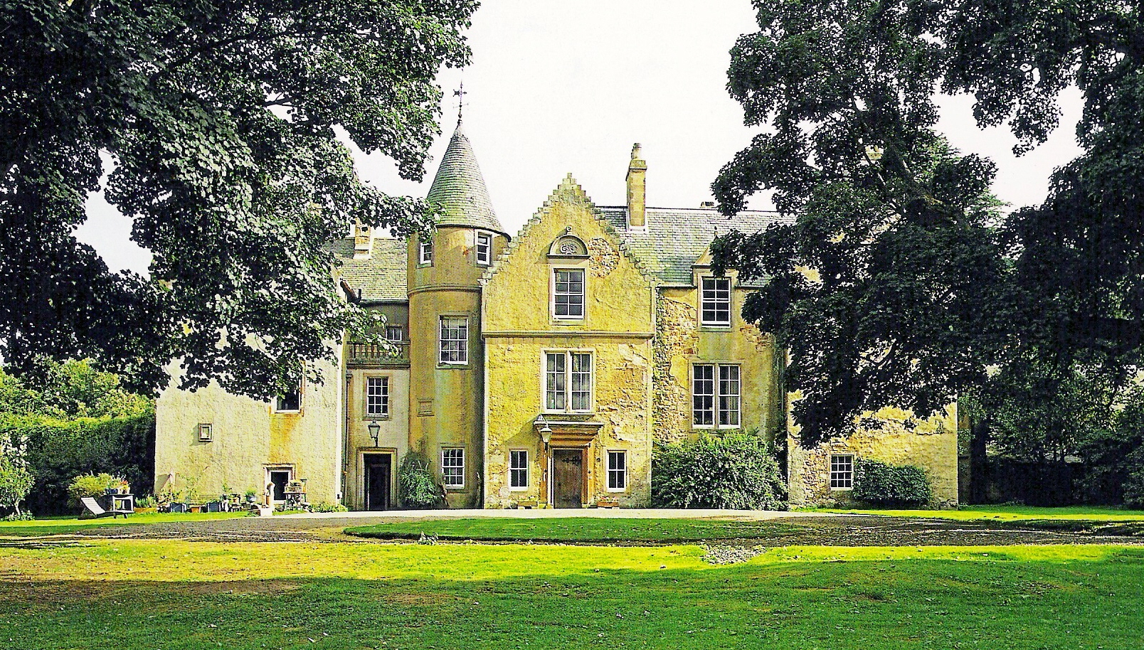
Keith Marischal
Keith Marischal is a Scottish Baronial Country house lying in the parish of Humbie, East Lothian, Scotland. The original building was an "L-shaped" Tower...

Glenkinchie distillery
Glenkinchie distillery is a Scotch single malt whisky distillery in East Lothian, Scotland. It is one of the six distilleries in the Lowland region. It...

Saltoun railway station
Saltoun railway station served the villages of East Saltoun and West Saltoun in East Lothian, Scotland, from 1901 to 1933 on the Macmerry Branch. ��2...
Ormiston Castle
Ormiston Castle is a ruined 16th-century tower house, about 4 miles (6.4 km) east of Dalkeith, East Lothian, Scotland, and north of Ormiston Mains.It was...
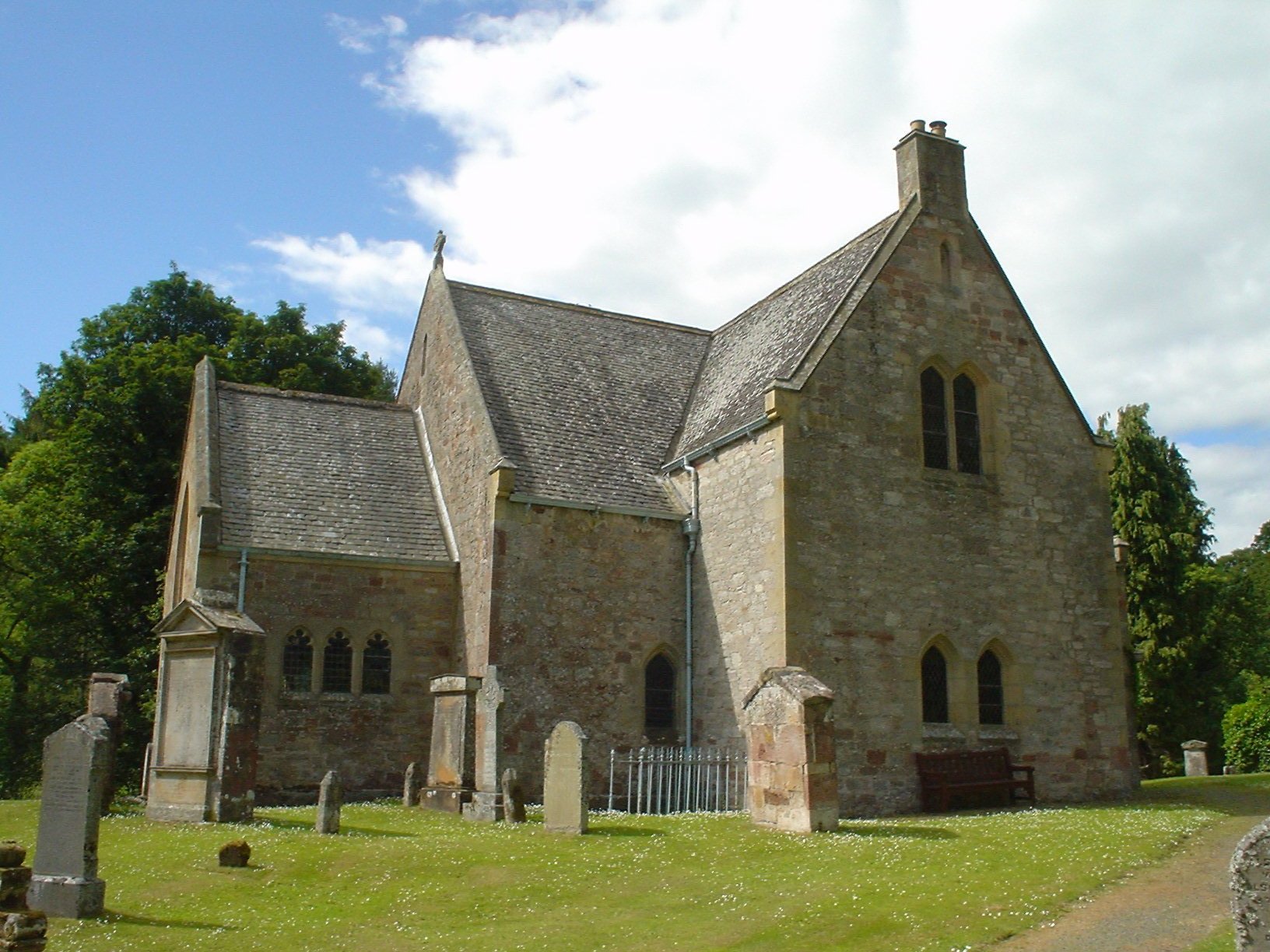
Humbie Parish Church
Humbie Parish Church is a church in the small village of Humbie, East Lothian, Scotland. It is part of the Church of Scotland, and is a linked charge which...

Pathhead, Midlothian
Pathhead village is a conservation area in Midlothian, Scotland. == Location == Pathhead is located around 4 miles (6.4 km) south east of Dalkeith and...
Preston Hall, Midlothian
Preston Hall, or Prestonhall, is a late-18th-century mansion in Midlothian, to the south of Edinburgh, Scotland. It is located 1.5 kilometres (0.93 mi...
Nearby Amenities
Located within 500m of 55.874773,-2.9125497Have you been to Peaston, East?
Leave your review of Peaston, East below (or comments, questions and feedback).