East Peaston

Settlement in East Lothian

Scotland

East Peaston

Stubble Field near Windy Mains A winter field near Windy Mains as seen from the track to Whitburgh. Lammermuirs can be seen in the distance.
Stubble Field near Windy Mains Credit: Adam Ward

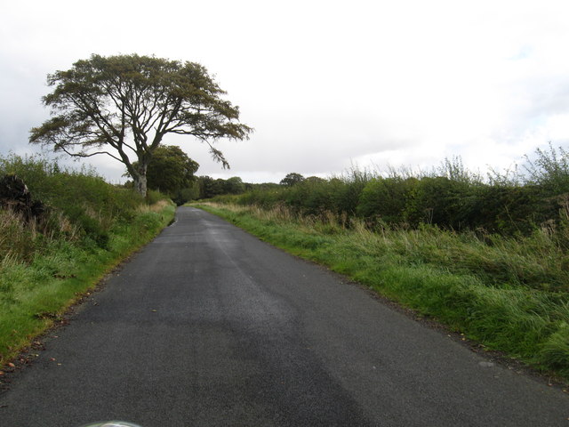
East Peaston is a small village located in East Lothian, Scotland. Situated approximately 4 miles southeast of Haddington, the village is surrounded by picturesque countryside and offers a tranquil and peaceful setting for its residents.

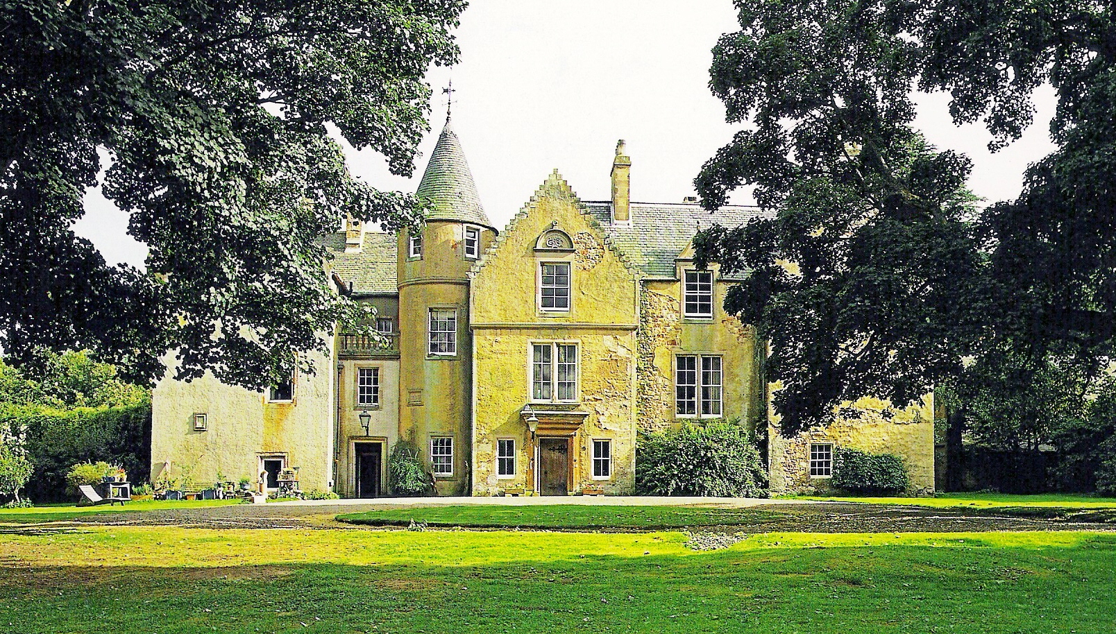
The village is known for its charming traditional architecture, with many of the houses boasting beautiful stone exteriors and well-maintained gardens. The community in East Peaston is close-knit, and the friendly atmosphere is one of the village's standout features.

Despite its small size, East Peaston provides its residents with a range of amenities. The village has a local pub, which serves as a popular gathering spot for both locals and visitors. Additionally, there is a small convenience store that caters to the daily needs of the residents.

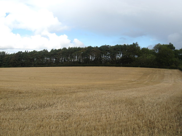
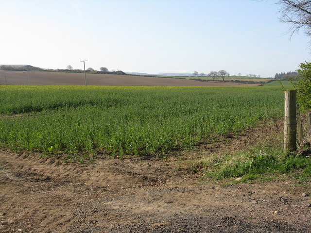
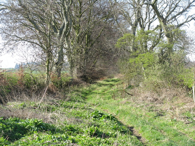
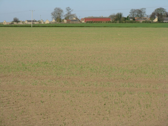
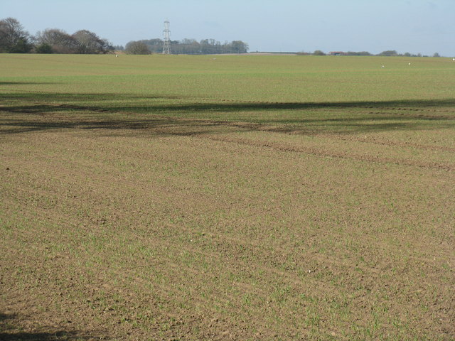
Surrounded by lush green fields and rolling hills, East Peaston is a haven for nature lovers. The village is ideally located for those who enjoy outdoor activities such as hiking, cycling, and horse riding. The nearby East Lothian coastline offers stunning sandy beaches and opportunities for water sports.

For those seeking educational opportunities, East Peaston is conveniently located near several schools and colleges in the surrounding areas. The village is well-connected to nearby towns and cities through a reliable public transportation network, making it an ideal place for commuters.

In conclusion, East Peaston is a charming and peaceful village in East Lothian, offering a close-knit community, picturesque surroundings, and convenient access to amenities and outdoor activities.

If you have any feedback on the listing, please let us know in the comments section below.
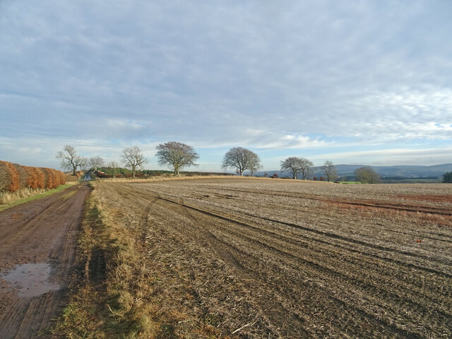
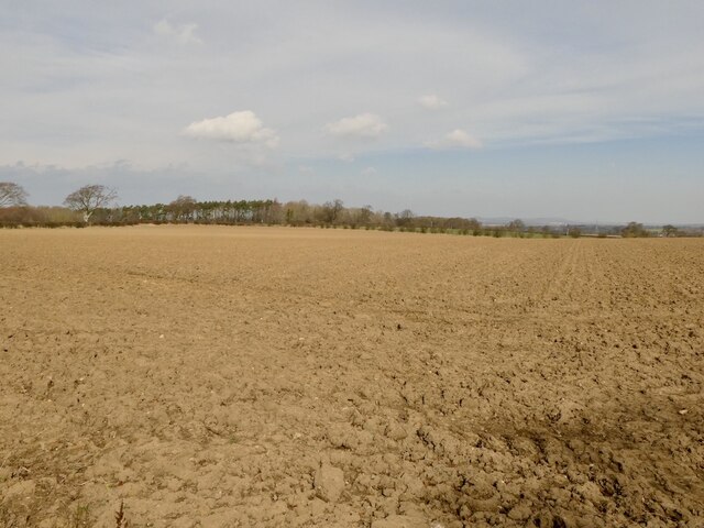
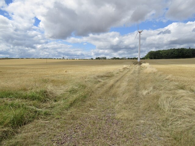
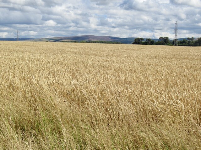
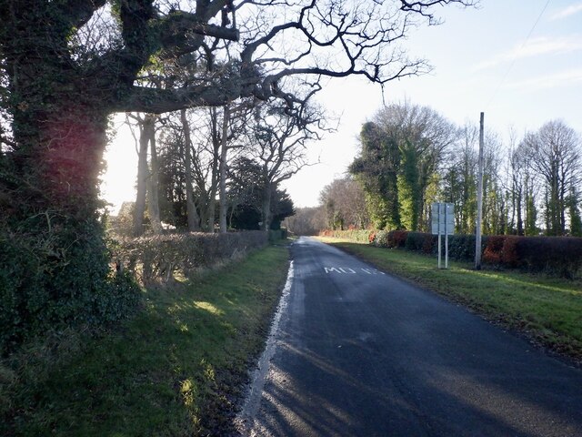
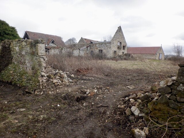
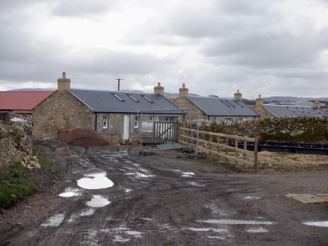
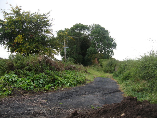
East Peaston Images

Images are sourced within 2km of 55.874773/-2.9125497 or Grid Reference NT4365. Thanks to Geograph Open Source API. All images are credited.

Stubble Field near Windy Mains A winter field near Windy Mains as seen from the track to Whitburgh. Lammermuirs can be seen in the distance.
Stubble Field near Windy Mains
A winter field near Windy Mains as seen from the track to Whitburgh. Lammermuirs can be seen in the distance.
Field, Keith, East  Lothian Taken 16 years after <a href="https://www.geograph.org.uk/photo/76088">NT4465 : Cattle near Keith Mains</a> and arable this time.
Field, Keith, East Lothian
Taken 16 years after NT4465 : Cattle near Keith Mains and arable this time.
Road, Templehall Today's road closure turned out to be a false alarm. Appears that they got the chipseal down with time to spare.
Road, Templehall
Today's road closure turned out to be a false alarm. Appears that they got the chipseal down with time to spare.
Wind turbine, Templehall
Wheat, Templehall
Wheat, Templehall
Peaston Bank A road climbing away from Glenkinchie.
Peaston Bank
A road climbing away from Glenkinchie.
Ruined Steading, Peaston
Rebuilt cottages, Peaston This row: <a href="https://www.geograph.org.uk/photo/268638">SZ0076 : Cliffs east of Dancing Ledge</a> has been refurbished and the renovated cottages are almost ready for occupation.
Rebuilt cottages, Peaston
This row: SZ0076 : Cliffs east of Dancing Ledge has been refurbished and the renovated cottages are almost ready for occupation.
Ruin, Peaston
Ruin, Peaston
The old Moor Road near Peaston The old staging road, once known as a 'highwayman's haunt' is now a humble track.
The old Moor Road near Peaston
The old staging road, once known as a 'highwayman's haunt' is now a humble track.
Rural road heading past the lands of Keith Mains In East Lothian.
Rural road heading past the lands of Keith Mains
In East Lothian.
Stubble field and shelter belt Near Keith Mains in East Lothian.
Stubble field and shelter belt
Near Keith Mains in East Lothian.
Peaston Farm - the collapse continues For earlier photos see <a href="https://www.geograph.org.uk/photo/1894507">NT4265 : Farm buildings at Peaston</a>, the latest almost two years earlier.
Peaston Farm - the collapse continues
For earlier photos see NT4265 : Farm buildings at Peaston, the latest almost two years earlier.
Peaston Farm buildings Slowly crumbling into the landscape.
Peaston Farm buildings
Slowly crumbling into the landscape.
Oil seed rape near Peaston Just coming into flower; looking south.
Oil seed rape near Peaston
Just coming into flower; looking south.
Moor Road at Peaston Looking southwest along an old track from West Saltoun heading towards Pathhead.
Moor Road at Peaston
Looking southwest along an old track from West Saltoun heading towards Pathhead.
Brairding barley at Peaston Looking across a field of newly emerging spring barley towards the farm
Brairding barley at Peaston
Looking across a field of newly emerging spring barley towards the farm
Spring barley at Peaston Looking west across the newly emerging seedlings.
Spring barley at Peaston
Looking west across the newly emerging seedlings.
Show me another place!

East Peaston is located at Grid Ref: NT4365 (Lat: 55.874773, Lng: -2.9125497)

Unitary Authority: East Lothian

Police Authority: The Lothians and Scottish Borders

What 3 Words

///brick.unopposed.stumpy. Near Pencaitland, East Lothian

Related Wikis

Peaston

Peaston is a small settlement on the B6371 road in the parish of Ormiston in East Lothian, Scotland, about 14 miles (23 km) south-east of Edinburgh, 7...

Keith Marischal

Keith Marischal is a Scottish Baronial Country house lying in the parish of Humbie, East Lothian, Scotland. The original building was an "L-shaped" Tower...

Glenkinchie distillery

Glenkinchie distillery is a Scotch single malt whisky distillery in East Lothian, Scotland. It is one of the six distilleries in the Lowland region. It...

Saltoun railway station

Saltoun railway station served the villages of East Saltoun and West Saltoun in East Lothian, Scotland, from 1901 to 1933 on the Macmerry Branch. ��2...

Nearby Amenities

Located within 500m of 55.874773,-2.9125497
Power: pole
Lat/Long: 55.8777816/-2.9156846
West Peaston
Place: locality
Lat/Long: 55.877577/-2.9160115
Power: pole
Lat/Long: 55.8737173/-2.9197812
Power: pole
Lat/Long: 55.8741299/-2.9184476
Power: pole
Lat/Long: 55.8745422/-2.9170959
Power: pole
Lat/Long: 55.8749599/-2.9157263
Power: pole
Lat/Long: 55.8750195/-2.9143469
Power: pole
Lat/Long: 55.8750709/-2.9129613
Power: pole
Lat/Long: 55.8751259/-2.9115569
Power: pole
Lat/Long: 55.875189/-2.9101087
Power: pole
Lat/Long: 55.8752451/-2.9086105
Power: pole
Lat/Long: 55.8753012/-2.907102
Power: pole
Lat/Long: 55.8752638/-2.9070395
Power: pole
Lat/Long: 55.8748488/-2.9063018
Power: pole
Lat/Long: 55.874061/-2.9060789
Power: pole
Lat/Long: 55.8731971/-2.9058684
Power: pole
Lat/Long: 55.8759827/-2.9062727
Power: pole
Lat/Long: 55.8766537/-2.9054621
Power: pole
Lat/Long: 55.8740762/-2.9158972
Power: pole
Lat/Long: 55.8755105/-2.9156659
Power: pole
Lat/Long: 55.876504/-2.9153992
Power: pole
Lat/Long: 55.8772825/-2.9151929
The data included in this document is from www.openstreetmap.org. The data is made available under ODbL.

Have you been to East Peaston?

Leave your review of East Peaston below (or comments, questions and feedback).