Backmuir Wood

Wood, Forest in Angus

Scotland

Backmuir Wood

Track through arable fields giving access to Easterton of Gagie Looking north-westward.
Track through arable fields giving access to Easterton of Gagie Credit: Peter Wood

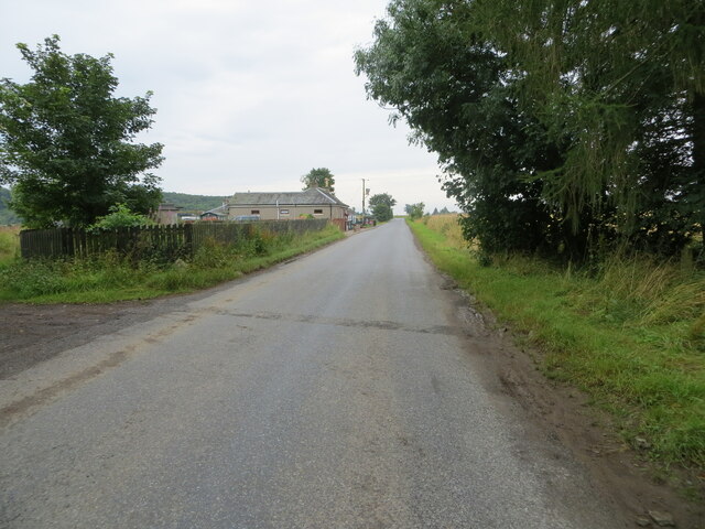
Backmuir Wood is a picturesque forest located in Angus, Scotland. Covering an area of approximately 200 acres, it is a popular destination for nature enthusiasts and outdoor lovers. The wood is situated near the town of Forfar, making it easily accessible for locals and visitors alike.

The woodland is predominantly made up of native broadleaf trees such as oak, birch, and Scots pine. These trees create a dense canopy, providing a peaceful and sheltered environment for a variety of wildlife. Birdwatchers will be delighted to spot species like woodpeckers, owls, and various songbirds within the wood.

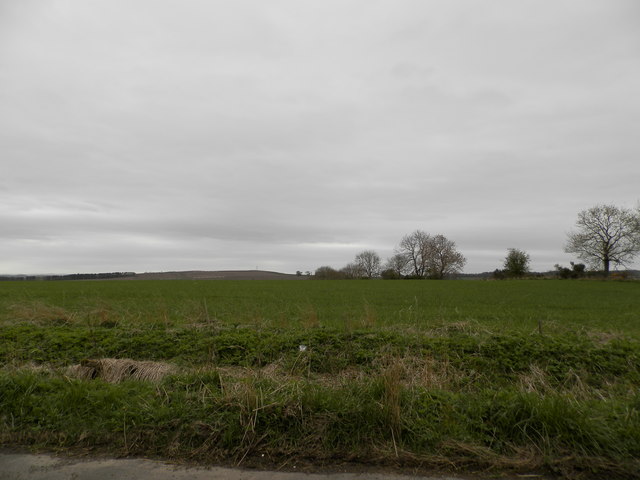
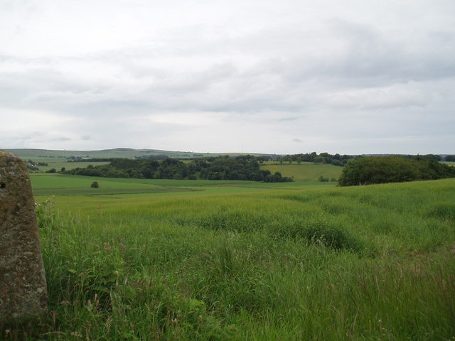
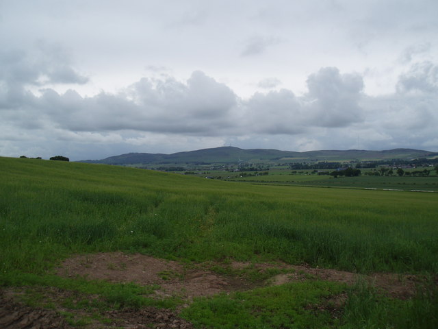
Backmuir Wood also boasts a network of well-maintained walking trails, allowing visitors to explore its beauty at their own pace. These trails offer stunning views of the surrounding countryside, and on a clear day, one can even catch a glimpse of the Grampian Mountains in the distance.

The wood is a haven for flora and fauna, with an array of wildflowers, ferns, and mosses carpeting the forest floor. In spring, the woodland comes alive with vibrant bluebells and daffodils, creating a magical atmosphere.

The management of Backmuir Wood focuses on preserving its natural beauty and biodiversity. Sustainable forestry practices are employed to ensure the long-term health and vitality of the woodland. Additionally, educational programs and guided walks are provided to raise awareness about the importance of conservation and environmental stewardship.

Overall, Backmuir Wood offers a tranquil escape from the hustle and bustle of everyday life, providing a serene setting for nature lovers to immerse themselves in the beauty of the Scottish countryside.

If you have any feedback on the listing, please let us know in the comments section below.

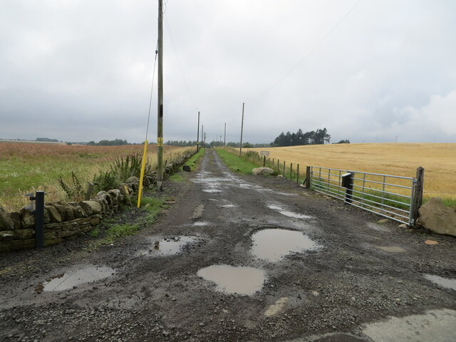
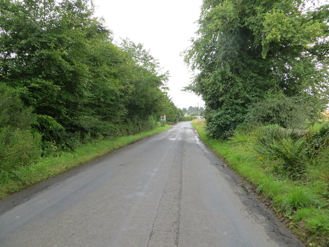
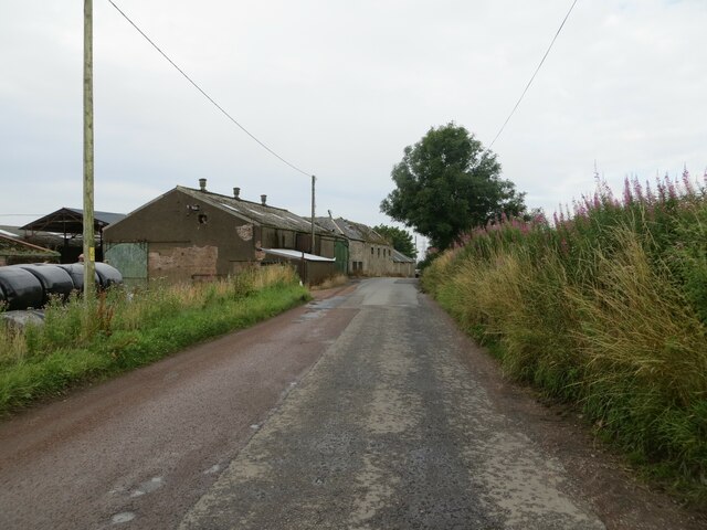
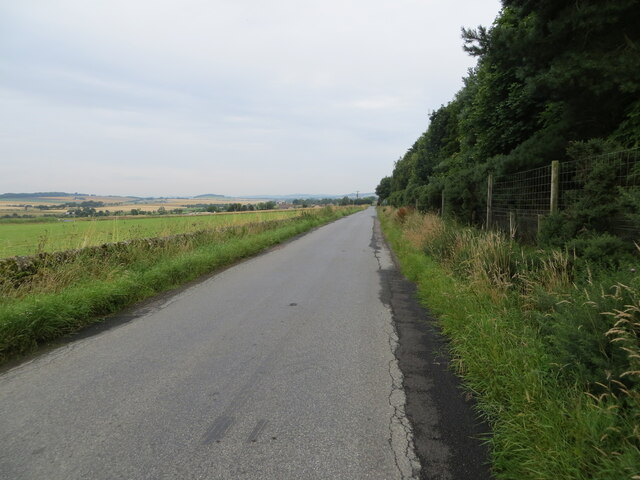
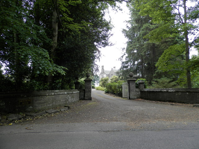
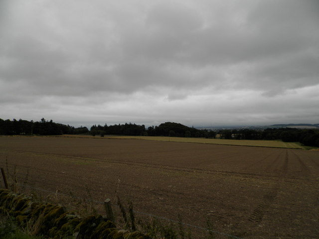
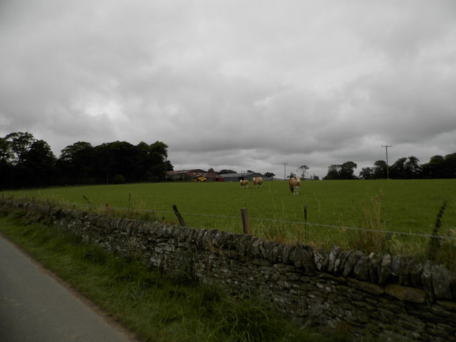
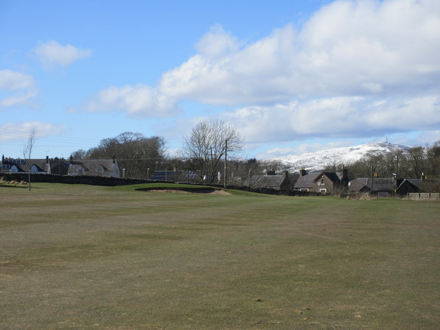
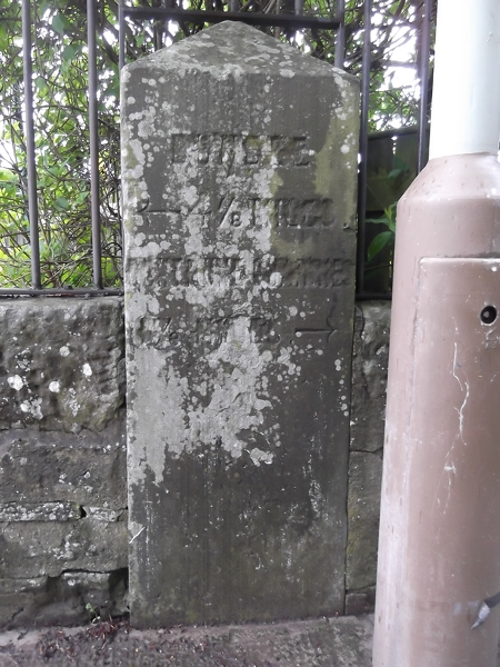
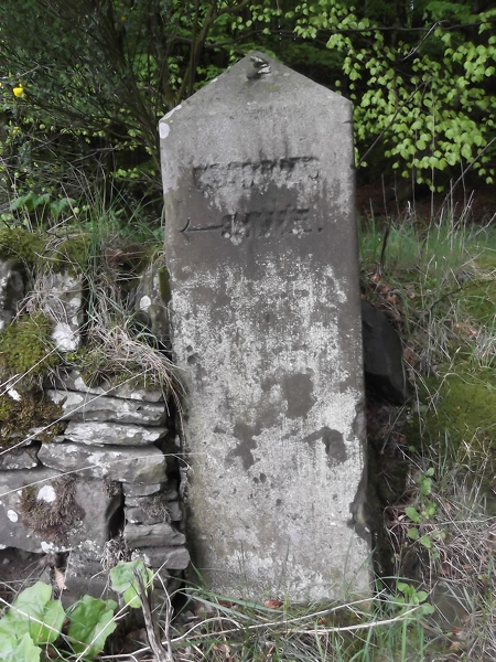
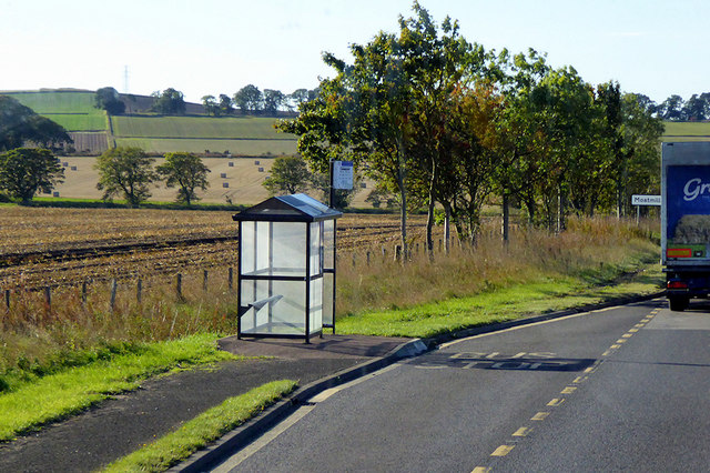
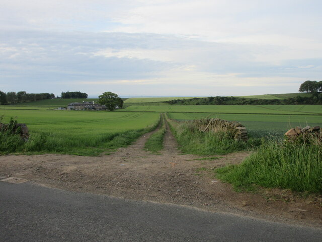
Backmuir Wood Images

Images are sourced within 2km of 56.518457/-2.9123138 or Grid Reference NO4336. Thanks to Geograph Open Source API. All images are credited.

Track through arable fields giving access to Easterton of Gagie Looking north-westward.
Track through arable fields giving access to Easterton of Gagie
Looking north-westward.
Tree-lined road entering Kellas Looking south-eastward.
Tree-lined road entering Kellas
Looking south-eastward.
Minor road at Shielhill Looking westward.
Minor road at Shielhill
Looking westward.
Minor road near to Woodside Looking north-westward.
Minor road near to Woodside
Looking north-westward.
Minor road approaching Houletnook Looking southward. The spelling at the location is Houletneuk.
Minor road approaching Houletnook
Looking southward. The spelling at the location is Houletneuk.
Farmland at Woodside
Farmland near Middleton
Entrance to Duntrune House
Field at Craighill Farm Already drilled and seeded ready for the next crop.
Field at Craighill Farm
Already drilled and seeded ready for the next crop.
Craighill Farm near Duntrune
Ballumbie Castle 6th hole, Duntrune The long sixth hole at Ballumbie Castle, looking to the green with Burnside of Duntrune beyond and the snow covered Craigowl Hill in the distance.
Ballumbie Castle 6th hole, Duntrune
The long sixth hole at Ballumbie Castle, looking to the green with Burnside of Duntrune beyond and the snow covered Craigowl Hill in the distance.
Old Milestone by Burnside of Duntrune, Murroes parish Milestone by the UC road, in parish of Murroes (Angus District), Burnside of Duntrune, set in South end of bridge over Fithie Burn, Northwest side of road.

Defaced inscription reads:-
(DUNDEE)
{<-arrow} 4⅞ MI(LES)
(??)
(?? MILES) {arrow->}
 
HES Grade B listed.
Reference: LB18996 <span class="nowrap"><a title="http://portal.historicenvironment.scot/designation/LB18996" rel="nofollow ugc noopener" href="http://portal.historicenvironment.scot/designation/LB18996">Link</a><img style="margin-left:2px;" alt="External link" title="External link - shift click to open in new window" src="https://s1.geograph.org.uk/img/external.png" width="10" height="10"/></span>

Surveyed

Milestone Society National ID: AN_DDKS04b
Old Milestone by Burnside of Duntrune, Murroes parish
Milestone by the UC road, in parish of Murroes (Angus District), Burnside of Duntrune, set in South end of bridge over Fithie Burn, Northwest side of road. Defaced inscription reads:- (DUNDEE) {<-arrow} 4⅞ MI(LES) (??) (?? MILES) {arrow->} HES Grade B listed. Reference: LB18996 LinkExternal link Surveyed Milestone Society National ID: AN_DDKS04b
Old Milestone below Duntrune Hill, Kellas Milestone by the UC road, in parish of Murroes (Angus District), East of Burnside of Duntrune, Northeast corner of T-junction.

Inscription defaced.

Surveyed

Milestone Society National ID: AN_DDKS04d
Old Milestone below Duntrune Hill, Kellas
Milestone by the UC road, in parish of Murroes (Angus District), East of Burnside of Duntrune, Northeast corner of T-junction. Inscription defaced. Surveyed Milestone Society National ID: AN_DDKS04d
Bus Stop on the Southbound A90 The A90 road is a major north to south highway in eastern Scotland, starting in Edinburgh and running for 146 miles up the majority of the east coast to end in Fraserburgh (although immediately north of the Forth it has been replaced by the similarly numbered M90).
Bus Stop on the Southbound A90
The A90 road is a major north to south highway in eastern Scotland, starting in Edinburgh and running for 146 miles up the majority of the east coast to end in Fraserburgh (although immediately north of the Forth it has been replaced by the similarly numbered M90).
Track to West Mains of Gagie Old track heading southwards to the West Mains of Gagie.
Track to West Mains of Gagie
Old track heading southwards to the West Mains of Gagie.
Murroes War Memorial The Murroes War Memorial, situated on the C6 (Angus) road between Westhall Terrace and Duntrune.
Murroes War Memorial
The Murroes War Memorial, situated on the C6 (Angus) road between Westhall Terrace and Duntrune.
Names on the Murroes War Memorial Close up of the inscription and names on the Murroes War Memorial.
Names on the Murroes War Memorial
Close up of the inscription and names on the Murroes War Memorial.
Show me another place!

Backmuir Wood is located at Grid Ref: NO4336 (Lat: 56.518457, Lng: -2.9123138)

Unitary Authority: Angus

Police Authority: Tayside

What 3 Words

///rigid.lined.learn. Near Dundee, Dundee City

Related Wikis

Burnside of Duntrune

Burnside of Duntrune is a hamlet in Angus, Scotland. It is situated 1 km North of Ballumbie on the outskirts of Dundee, on the Fithie Burn. == References ==

Kellas, Angus

Kellas is a village in Angus, Scotland. It lies approximately two miles north of Dundee, on the B978 road. == References ==

Bucklerheads

Bucklershead is a village in Angus, Scotland. It lies approximately three miles north of Monifieth, on the B978 road. == References ==

Inveraldie

Inveraldie is a village in Angus, Scotland. It lies on the north-bound side of the A90 road, two miles north of Dundee. == References ==

Gagie railway station

Gagie Halt railway station was a railway halt in Scotland, on the Dundee and Forfar direct line, built by the London, Midland and Scottish Railway. It...

Braeview Academy

Braeview Academy is a secondary school in Dundee, Scotland. Situated on top of a steep hill (brae), it was originally named Whitfield High School. It...

Powrie Castle

Powrie Castle is a ruined 16th-century castle located in the north of Dundee, Scotland. It was designated as a scheduled monument in 1971. The early 17th...
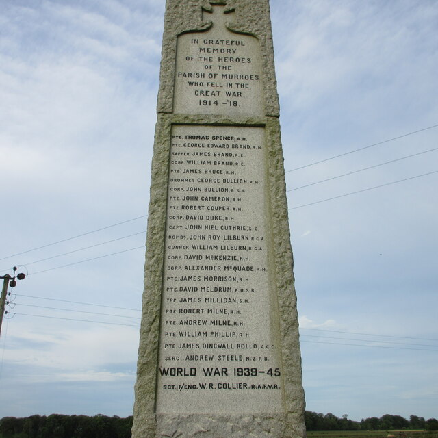
Murroes

Murroes is a parish in Angus, Scotland, situated approximately 3 miles (4.8 km) north of Dundee city centre. == Places of interest == The parish church...

Nearby Amenities

Located within 500m of 56.518457,-2.9123138
Bus Stop
Murroes School
Bus: yes
Naptan AtcoCode: 6490IM681
Naptan Bearing: W
Naptan BusStopType: CUS
Naptan CommonName: Murroes School
Naptan Indicator: opp School
Naptan Landmark: War Memorial
Naptan NaptanCode: 26425486
Naptan Verified: no
Public Transport: platform
Source: naptan_import
Lat/Long: 56.5162003/-2.9054159
War Memorial
Historic: memorial
Memorial: war_memorial
Lat/Long: 56.5163756/-2.9055582
Muirhouses
Place: isolated_dwelling
Lat/Long: 56.5151834/-2.9113912
Backmuir
Place: hamlet
Lat/Long: 56.5193267/-2.9146206
Westhall Terrace
Traffic Sign: city_limit
Lat/Long: 56.5182882/-2.9053818
Knowehead
Place: isolated_dwelling
Lat/Long: 56.5167878/-2.908352
Power: pole
Lat/Long: 56.5162289/-2.9056407
Power: pole
Lat/Long: 56.5170323/-2.9060131
Power: pole
Lat/Long: 56.5178186/-2.9063877
Power: pole
Lat/Long: 56.5184496/-2.9066714
Power: pole
Lat/Long: 56.5190831/-2.9069551
Power: pole
Lat/Long: 56.5197568/-2.9069263
Power: pole
Lat/Long: 56.5204086/-2.9068997
Power: pole
Lat/Long: 56.5210737/-2.9068776
Power: pole
Lat/Long: 56.5195991/-2.908345
Power: pole
Lat/Long: 56.5194377/-2.9097791
Power: pole
Lat/Long: 56.5192934/-2.9111357
Power: pole
Lat/Long: 56.5191295/-2.9125654
Power: pole
Lat/Long: 56.519467/-2.9133501
Power: pole
Lat/Long: 56.5195269/-2.9143032
Power: pole
Lat/Long: 56.5195832/-2.9152231
Power: pole
Lat/Long: 56.5185022/-2.9114815
Power: pole
Lat/Long: 56.5177673/-2.9118095
Power: pole
Lat/Long: 56.5170226/-2.9121332
Power: pole
Lat/Long: 56.5162876/-2.9124568
Power: pole
Lat/Long: 56.5155465/-2.9127715
The data included in this document is from www.openstreetmap.org. The data is made available under ODbL.

Have you been to Backmuir Wood?

Leave your review of Backmuir Wood below (or comments, questions and feedback).