Beech Plantation
Wood, Forest in Midlothian
Scotland
Beech Plantation
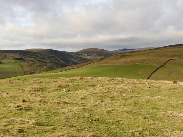
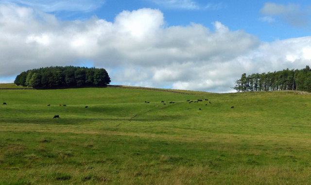
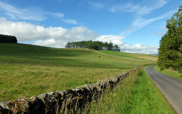
Beech Plantation, located in Midlothian, is a picturesque wood and forest area renowned for its lush beech trees. Situated in the heart of Scotland, this plantation covers a significant expanse of land, offering visitors a peaceful and serene environment to explore and enjoy nature at its finest.
The plantation is known for its dense and well-preserved beech tree population, which contributes to its unique charm. These majestic trees create a stunning canopy, providing shade and shelter to an array of plant and animal species. Walking through the plantation, visitors will be captivated by the beauty of the towering beech trees, their branches intertwining to create a mesmerizing natural vista.
Aside from its remarkable flora, Beech Plantation is also home to various wildlife species, including deer, squirrels, and a myriad of bird species. The plantation provides a natural habitat for these animals, making it an excellent location for birdwatching and wildlife enthusiasts.
The plantation offers several well-marked trails, allowing visitors to explore the area at their own pace. These trails provide breathtaking views of the surrounding landscape and lead to hidden gems such as tranquil ponds and babbling brooks. Additionally, picnic areas and benches are strategically placed throughout the plantation, providing visitors with the perfect opportunity to relax and enjoy a picnic amidst nature's splendor.
Beech Plantation is a popular destination for nature lovers, hikers, and families seeking a peaceful retreat. Its natural beauty, abundant wildlife, and well-maintained trails make it an idyllic location for a day trip or a leisurely stroll, immersing oneself in the tranquility of the Scottish woodlands.
If you have any feedback on the listing, please let us know in the comments section below.
Beech Plantation Images
Images are sourced within 2km of 55.646458/-2.8947268 or Grid Reference NT4339. Thanks to Geograph Open Source API. All images are credited.

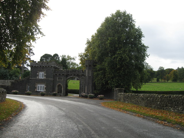

![Lodge and Gatehouse to the Bowland Estate A smart building, but it looks as if the main entrance to Bowland House might now be a road between two pillars to the right.
I received an email [September 2023], from Jan Wolfenden in New Zealand, with the following information &#039;My grandparents raised 9 children in this gatehouse. James Wilkinson was his name. My mother came to New Zealand as a ladies maid to Mrs Roberts of what was a large company called Murray Roberts and Co. My mother was born in 1907, two children died of the flu aged 3 and 18 months.&#039;](https://s2.geograph.org.uk/geophotos/05/40/21/5402194_b996c7ff.jpg)
Beech Plantation is located at Grid Ref: NT4339 (Lat: 55.646458, Lng: -2.8947268)
Unitary Authority: The Scottish Borders
Police Authority: The Lothians and Scottish Borders
What 3 Words
///staging.dentistry.gossiping. Near Galashiels, Scottish Borders
Nearby Locations
Related Wikis

Bowshank
Bowshank is a village in the Scottish Borders area of Scotland, close to the A7, beside the Gala Water. Nearby are Bow Castle Broch, as well as Buckholm...

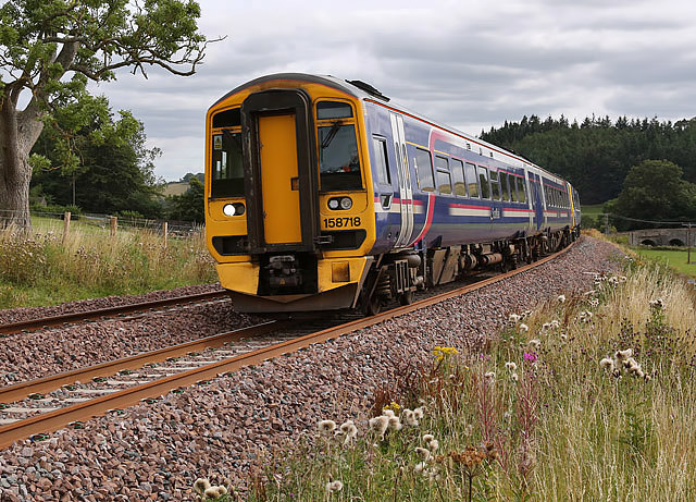
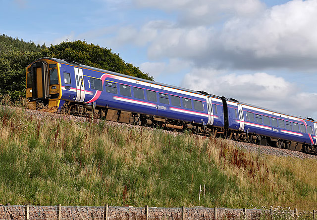
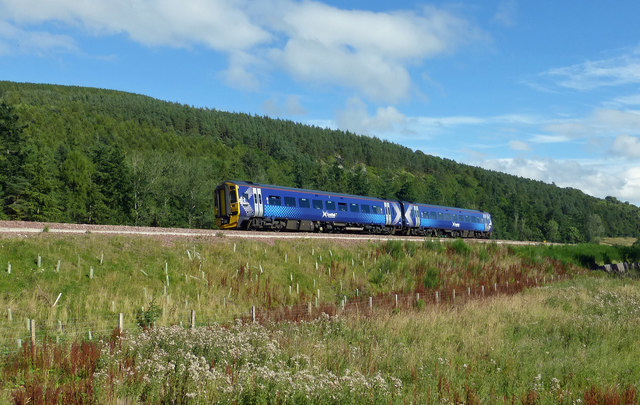
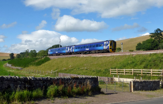
Bowland railway station
Bowland railway station (Bowland Bridge between May 1849 and July 1862) was a railway station in the village of Bowland, near Galashiels, Scotland. Located...
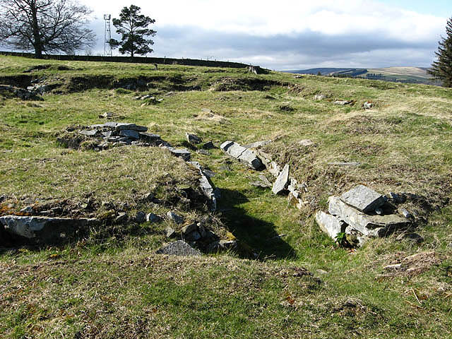
Torwoodlee Broch
Torwoodlee Broch is the remains of an iron-age broch located near the town of Galashiels in the Scottish Borders. == Description == Torwoodlee Broch...

Bow Castle Broch
Bow Castle is the remains of an iron-age broch near the Gala Water, in the Scottish Borders area of Scotland, in the parish of Stow. It is a scheduled...

Clovenfords railway station
Clovenfords railway station served the village of Clovenfords, Scottish Borders, Scotland from 1866 to 1962 on the Peebles Railway. == History == The station...
Clovenfords
Clovenfords is a village in the Scottish Borders area of Scotland, 1 mile (2 kilometres) north of the hamlet of Caddonfoot and 4 miles (6 kilometres) west...

Angling Club Cottage Platform railway station
Angling Club Cottage Platform served the Edinburgh Angling Club in Selkirk, Scottish Borders, Scotland from 1898 to the late 1940s. == History == The station...
Thornielee railway station
Thornielee railway station served the smallholding of Thornielee, Scottish Borders, Scotland from 1866 to 1950 on the Peebles Railway. == History == The...
Nearby Amenities
Located within 500m of 55.646458,-2.8947268Have you been to Beech Plantation?
Leave your review of Beech Plantation below (or comments, questions and feedback).