Shielhill Wood

Wood, Forest in Angus

Scotland

Shielhill Wood

Minor road at Shielhill Looking westward.
Minor road at Shielhill Credit: Peter Wood

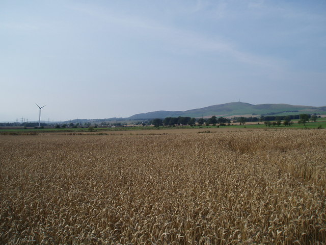
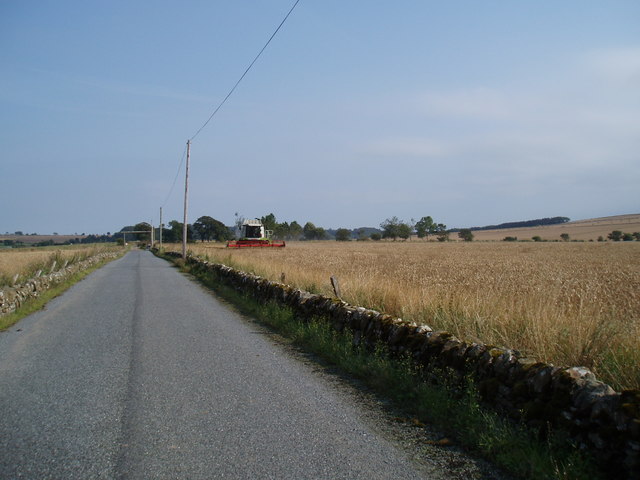
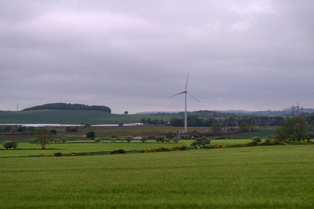
Shielhill Wood is a picturesque forest located in the Angus region of Scotland. Covering an area of approximately 50 acres, it is a popular destination for nature enthusiasts and outdoor lovers alike. The wood is situated near the small village of Kirkton of Auchterhouse, offering easy access to visitors from nearby towns and cities.

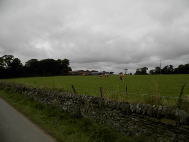
The wood is primarily composed of native broadleaf trees, including oak, birch, and rowan, creating a diverse and vibrant ecosystem. These trees provide a dense canopy, resulting in a shaded and peaceful environment. Throughout the wood, visitors can explore a network of well-maintained paths and trails, allowing for pleasant walks and hikes.

One of the highlights of Shielhill Wood is its abundance of wildlife. The forest is home to various bird species, including woodpeckers, owls, and thrushes, making it a haven for birdwatchers. Additionally, small mammals such as red squirrels and voles can be spotted among the trees, adding to the natural charm of the woodland.

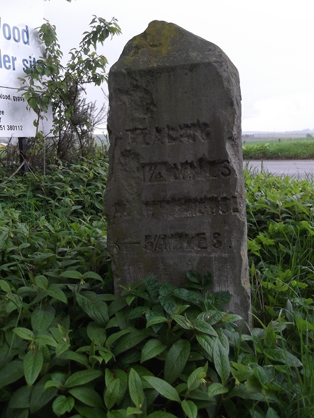
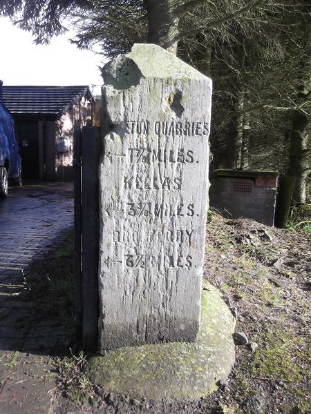
The wood also boasts a rich history, with remnants of old structures scattered throughout the area. These include the remains of ancient settlements and stone enclosures, providing a fascinating glimpse into the past.

Shielhill Wood offers a tranquil escape from the hustle and bustle of everyday life. Whether it's for a peaceful walk, birdwatching, or simply enjoying the beauty of nature, visitors are sure to find solace and joy in this stunning forest.

If you have any feedback on the listing, please let us know in the comments section below.

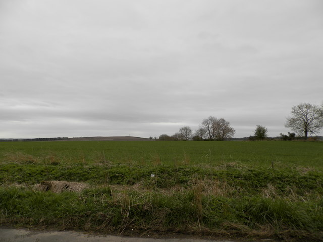
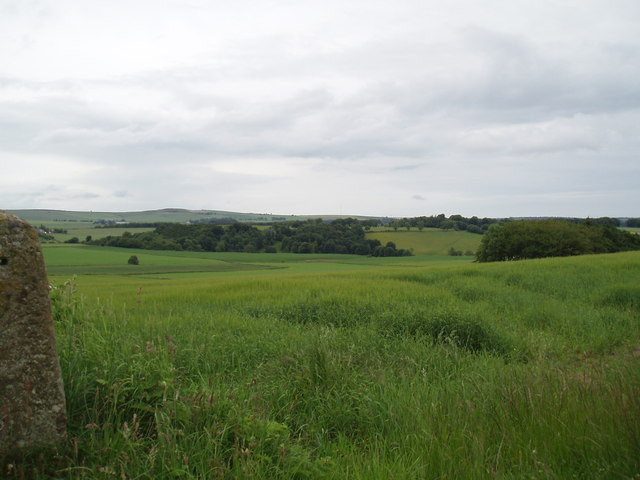
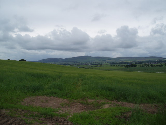
Shielhill Wood Images

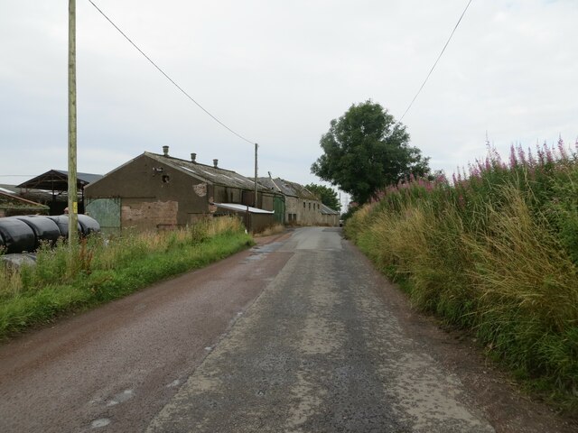
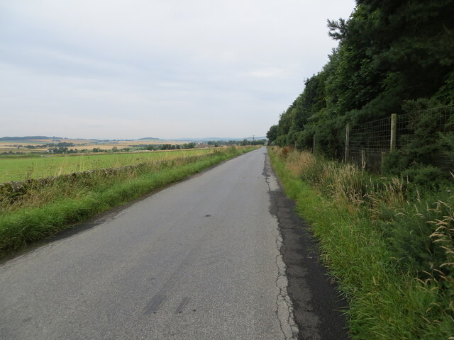
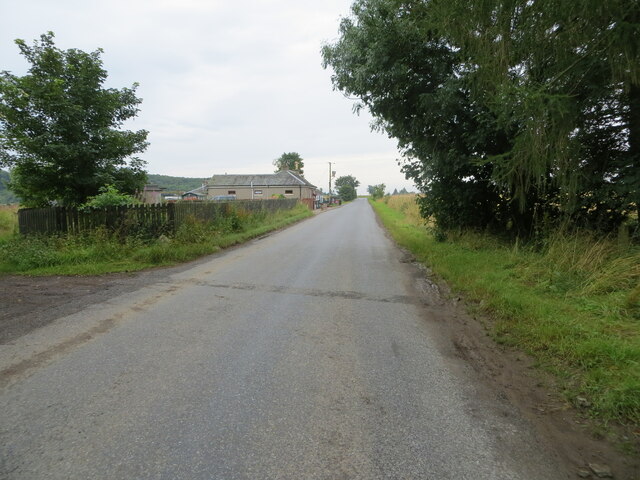
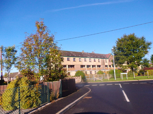
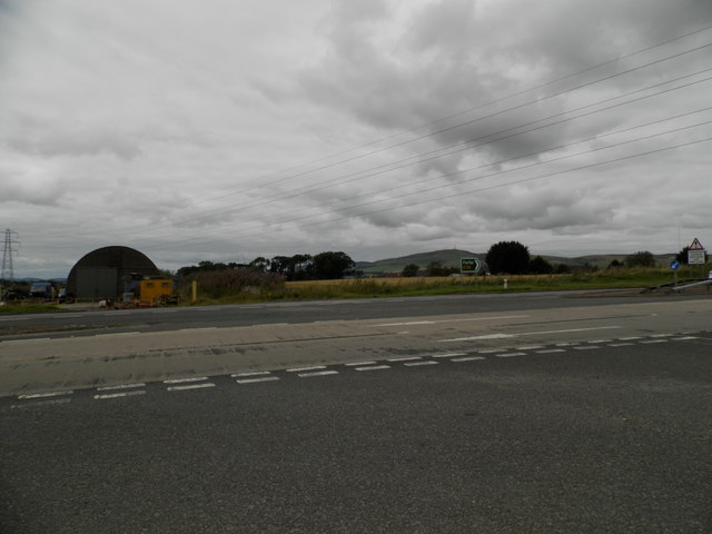
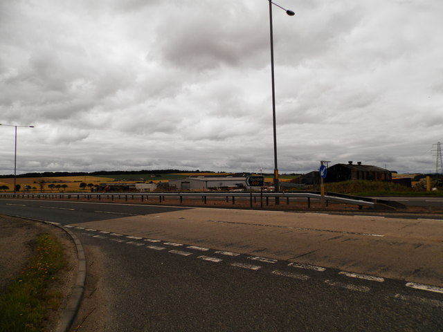
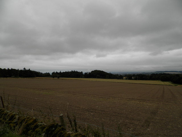
Images are sourced within 2km of 56.519906/-2.9277078 or Grid Reference NO4336. Thanks to Geograph Open Source API. All images are credited.

Minor road at Shielhill Looking westward.
Minor road at Shielhill
Looking westward.
Minor road near to Woodside Looking north-westward.
Minor road near to Woodside
Looking north-westward.
Minor road approaching Houletnook Looking southward. The spelling at the location is Houletneuk.
Minor road approaching Houletnook
Looking southward. The spelling at the location is Houletneuk.
Terraced flats in Inveraldie Dalziel Place, seen from Inveraldie Crescent.
Terraced flats in Inveraldie
Dalziel Place, seen from Inveraldie Crescent.
Entrance into Tealing On minor road from A90; DRIVE SAFELY.
Entrance into Tealing
On minor road from A90; DRIVE SAFELY.
Farmland at Woodside
Farmland near Middleton
Shielhill Junction on A90 north of Dundee
Field at Craighill Farm Already drilled and seeded ready for the next crop.
Field at Craighill Farm
Already drilled and seeded ready for the next crop.
Craighill Farm near Duntrune
Growing crops at Inveraldie The crop appears ready for harvest
Growing crops at Inveraldie
The crop appears ready for harvest
Harvest time at North Powrie
Wind turbine and fields at Balmuir
Old Milestone by the former A928, Balmuir Wood, Tealing Parish By the UC road (was A928), in parish of Tealing (Angus District), Balmuir Wood, entrance to Travellers site.

Surveyed

Milestone Society National ID: AN_DDFR05t.
Old Milestone by the former A928, Balmuir Wood, Tealing Parish
By the UC road (was A928), in parish of Tealing (Angus District), Balmuir Wood, entrance to Travellers site. Surveyed Milestone Society National ID: AN_DDFR05t.
Old Milestone by the former A928, Balmuir Wood, Tealing Parish By the UC road (was A928), in parish of Tealing (Angus District), Balmuir Wood crossroads, right hand side of entrance to bungalow.

Surveyed

Milestone Society National ID: AN_DDFR05k
Old Milestone by the former A928, Balmuir Wood, Tealing Parish
By the UC road (was A928), in parish of Tealing (Angus District), Balmuir Wood crossroads, right hand side of entrance to bungalow. Surveyed Milestone Society National ID: AN_DDFR05k
A90 Northbound The A90 road is a major north to south highway in eastern Scotland, starting in Edinburgh and running for 146 miles up the majority of the east coast to end in Fraserburgh (although immediately north of the Forth it has been replaced by the similarly numbered M90).
A90 Northbound
The A90 road is a major north to south highway in eastern Scotland, starting in Edinburgh and running for 146 miles up the majority of the east coast to end in Fraserburgh (although immediately north of the Forth it has been replaced by the similarly numbered M90).
Show me another place!

Shielhill Wood is located at Grid Ref: NO4336 (Lat: 56.519906, Lng: -2.9277078)

Unitary Authority: Angus

Police Authority: Tayside

What 3 Words

///struck.hobby.scars. Near Dundee, Dundee City

Related Wikis

Inveraldie

Inveraldie is a village in Angus, Scotland. It lies on the north-bound side of the A90 road, two miles north of Dundee. == References ==

Burnside of Duntrune

Burnside of Duntrune is a hamlet in Angus, Scotland. It is situated 1 km North of Ballumbie on the outskirts of Dundee, on the Fithie Burn. == References ==

Powrie Castle

Powrie Castle is a ruined 16th-century castle located in the north of Dundee, Scotland. It was designated as a scheduled monument in 1971. The early 17th...
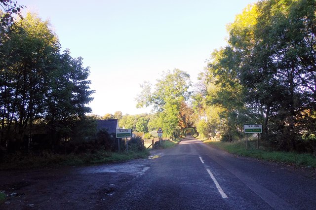
Tealing

Tealing (Scottish Gaelic: Tèalainn) is a village in Angus in eastern Scotland, nestled at the foot of the Sidlaw Hills. It is just 6 miles (9.7 km) north...

Nearby Amenities

Located within 500m of 56.519906,-2.9277078
Design: barrel
Power: tower
Lat/Long: 56.5221881/-2.9342284
Design: barrel
Power: tower
Lat/Long: 56.5230028/-2.9299445
Design: barrel
Power: tower
Lat/Long: 56.5239231/-2.9250517
Woodside Cottages
Place: hamlet
Lat/Long: 56.5171337/-2.9254246
Power: pole
Lat/Long: 56.5172243/-2.9331844
Power: pole
Lat/Long: 56.5180302/-2.933222
Power: pole
Lat/Long: 56.5188409/-2.9332619
Power: pole
Lat/Long: 56.5196419/-2.9332819
Power: pole
Lat/Long: 56.520444/-2.9333972
Power: pole
Lat/Long: 56.5212657/-2.9335191
Power: pole
Lat/Long: 56.5220849/-2.9336321
Power: pole
Lat/Long: 56.5211703/-2.9326657
Power: pole
Lat/Long: 56.5210322/-2.9315773
Power: pole
Lat/Long: 56.5208952/-2.9304956
Power: pole
Lat/Long: 56.5207974/-2.9297752
Power: pole
Lat/Long: 56.5186624/-2.9283411
Power: pole
Lat/Long: 56.5185401/-2.9284076
Power: pole
Lat/Long: 56.5179984/-2.9287024
Power: pole
Lat/Long: 56.5173258/-2.9290681
Power: pole
Lat/Long: 56.5166728/-2.9294139
Power: pole
Lat/Long: 56.5160161/-2.9297575
Power: pole
Lat/Long: 56.5163451/-2.9325748
Power: pole
Lat/Long: 56.5161836/-2.9311495
Power: pole
Lat/Long: 56.5158706/-2.9283943
Power: pole
Lat/Long: 56.5158241/-2.9280019
Power: pole
Lat/Long: 56.515714/-2.9269889
Power: pole
Lat/Long: 56.5156052/-2.9259693
Power: pole
Lat/Long: 56.5197134/-2.9350319
Power: pole
Lat/Long: 56.5196779/-2.934061
Power: pole
Lat/Long: 56.5224842/-2.9337684
The data included in this document is from www.openstreetmap.org. The data is made available under ODbL.

Have you been to Shielhill Wood?

Leave your review of Shielhill Wood below (or comments, questions and feedback).