Harelawpike Plantation
Wood, Forest in Dumfriesshire
Scotland
Harelawpike Plantation
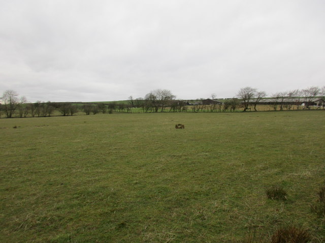
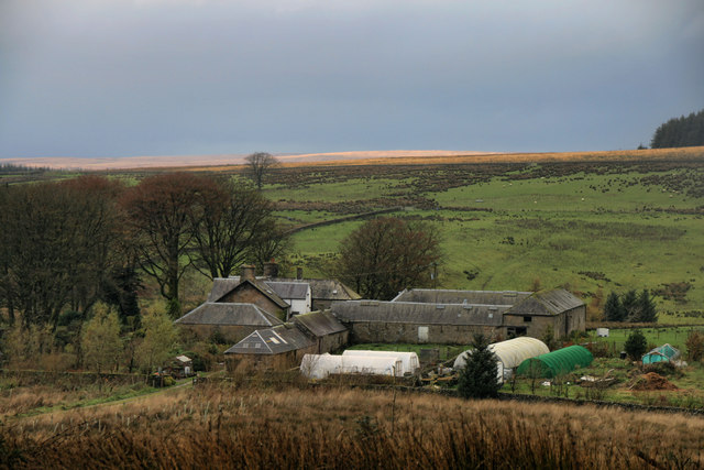
Harelawpike Plantation is a picturesque woodland located in Dumfriesshire, Scotland. Covering a vast area of approximately _____ hectares, it is renowned for its scenic beauty and diverse ecosystem. The plantation is situated in a rural setting, surrounded by rolling hills and open countryside, providing a tranquil retreat for nature lovers and outdoor enthusiasts.
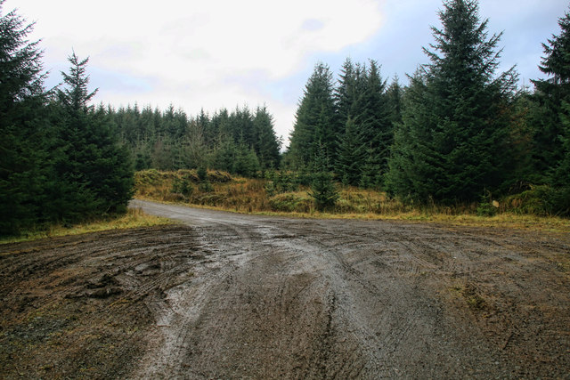
The woodland is predominantly composed of native tree species, including oak, birch, and beech, which create a dense canopy, offering shade and shelter to numerous wildlife species. Harelawpike Plantation is known for its rich biodiversity, attracting a wide range of fauna, such as red squirrels, roe deer, and a variety of bird species, including woodpeckers and owls.
Visitors to Harelawpike Plantation can explore a network of well-maintained footpaths that wind through the woods, providing excellent opportunities for walking, jogging, and cycling. The paths are suitable for all ages and abilities, with some offering panoramic views of the surrounding landscape. Additionally, the plantation features several picnic areas, where visitors can relax and enjoy the peaceful ambiance of the woodland.
Harelawpike Plantation is also actively managed for sustainable timber production, with carefully planned harvesting and replanting strategies in place. This ensures the long-term health and vitality of the woodland, while also supporting the local timber industry.
Overall, Harelawpike Plantation offers a delightful combination of natural beauty, recreational activities, and ecological value, making it a cherished destination for both locals and tourists seeking a connection with nature.
If you have any feedback on the listing, please let us know in the comments section below.
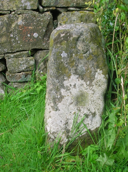
Harelawpike Plantation Images
Images are sourced within 2km of 55.110029/-2.8950965 or Grid Reference NY4279. Thanks to Geograph Open Source API. All images are credited.


Harelawpike Plantation is located at Grid Ref: NY4279 (Lat: 55.110029, Lng: -2.8950965)
Unitary Authority: Dumfries and Galloway
Police Authority: Dumfries and Galloway
What 3 Words
///appoints.cool.jukebox. Near Langholm, Dumfries & Galloway
Nearby Locations
Related Wikis

Nook Pasture railway station
Nook Pasture railway station served the village of Canonbie, Dumfriesshire, Scotland, from 1864 to 1873 on the Waverley Line. The station was located...
Nicholforest
Nicholforest is a civil parish in Cumbria, England bordering Scotland. The population of the civil parish taken at the 2011 census was 372. The parish...
Rowanburn
Rowanburn is a hamlet in Eskdale, Dumfries and Galloway, Scotland. Located near Canonbie, it sits around 5 miles south-east of Langholm and about a mile...
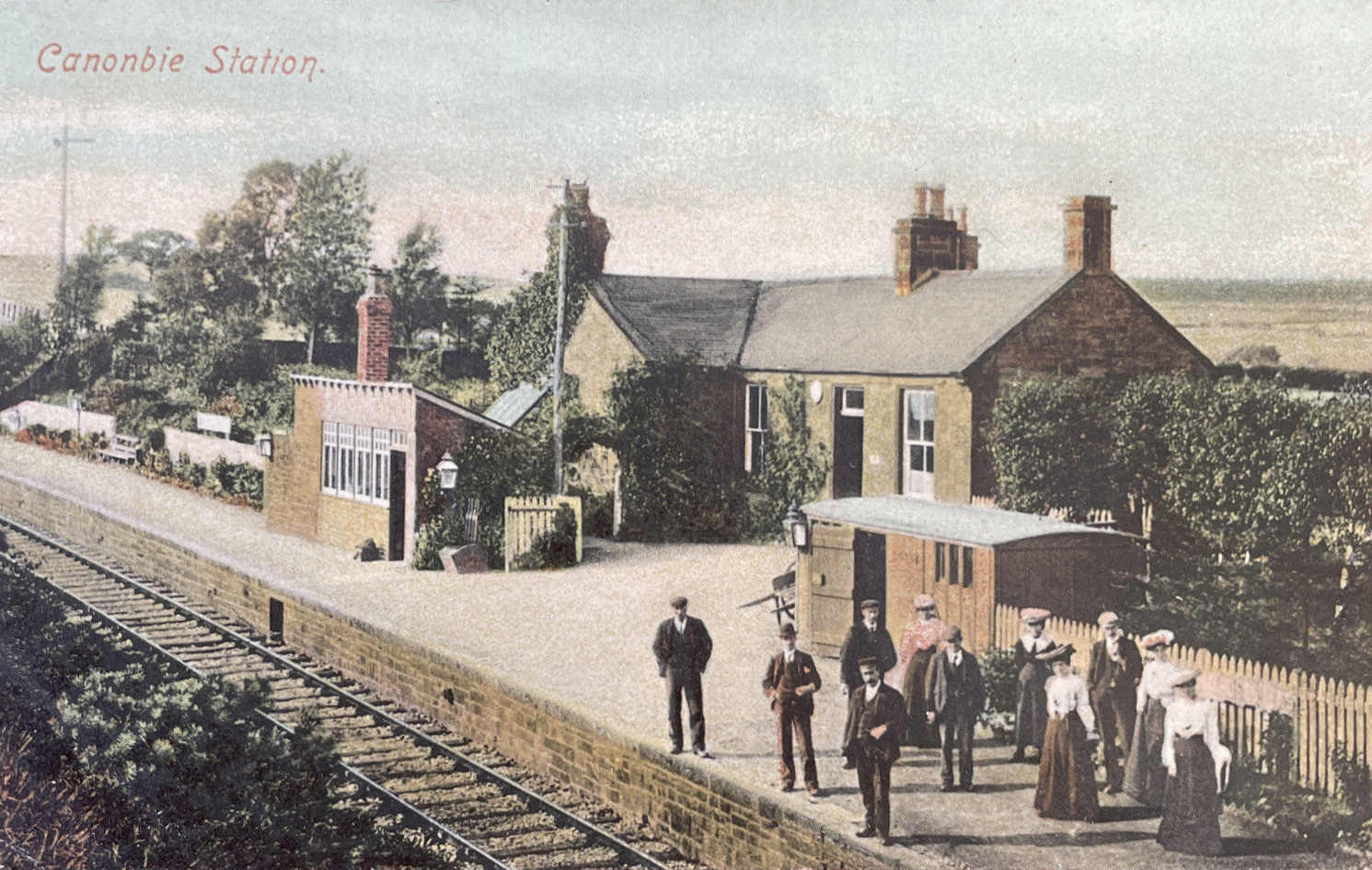
Canonbie railway station
Canonbie railway station served the village of Canonbie, Dumfries and Galloway, Scotland from 1862 to 1967 on the Border Union Railway. == History == The...
Nearby Amenities
Located within 500m of 55.110029,-2.8950965Have you been to Harelawpike Plantation?
Leave your review of Harelawpike Plantation below (or comments, questions and feedback).