Mains Strip
Wood, Forest in Midlothian
Scotland
Mains Strip
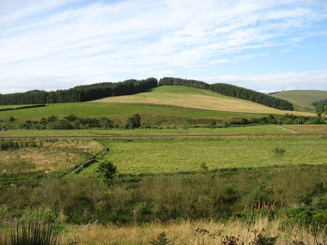
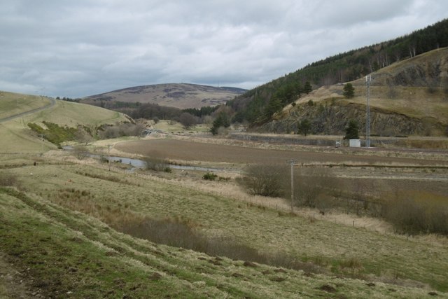
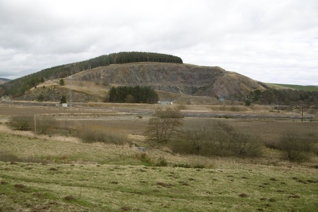
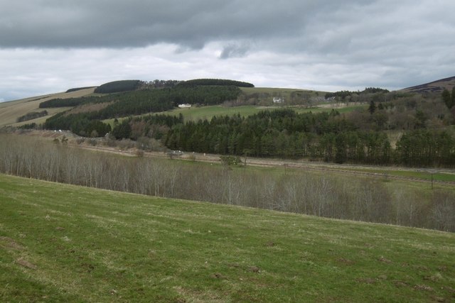
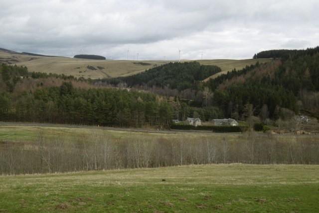
Mains Strip is a woodland area located in Midlothian, Scotland. Covering a vast expanse of land, this forested region is known for its pristine natural beauty and rich biodiversity. The strip is primarily composed of various species of trees, including oak, birch, and pine, creating a lush and vibrant environment.
The woodland is home to a wide array of wildlife, making it an ideal destination for nature enthusiasts and wildlife photographers. Visitors can often spot red squirrels, badgers, and a variety of bird species, such as woodpeckers and owls, as they explore the area. The peaceful atmosphere and tranquil surroundings make Mains Strip a popular spot for hiking, walking, and cycling.
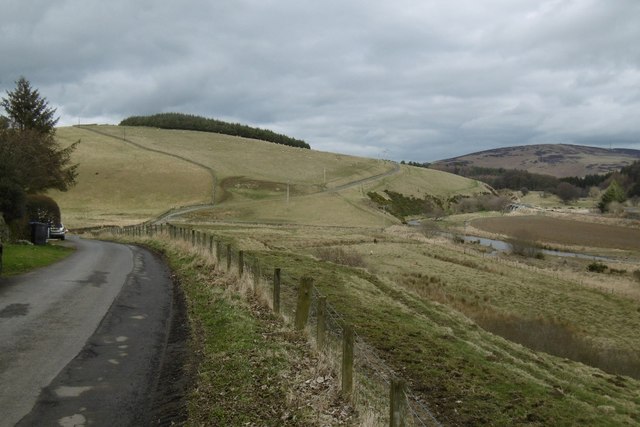
The forest is also home to several walking trails, ranging from easy strolls to more challenging hikes, catering to individuals of all fitness levels. These trails meander through the forest, offering the perfect opportunity to immerse oneself in the natural surroundings and admire the breathtaking woodland landscape.
Mains Strip is well-preserved and maintained, with designated picnic areas and benches available for visitors to relax and enjoy the scenery. The forest is easily accessible, with ample parking facilities and clear signposts guiding visitors towards the main entrance.
Overall, Mains Strip in Midlothian is an enchanting woodland area that offers a serene escape from the hustle and bustle of everyday life. Whether one is seeking a peaceful retreat or an adventurous outing, this forested region is sure to captivate visitors with its beauty and tranquility.
If you have any feedback on the listing, please let us know in the comments section below.
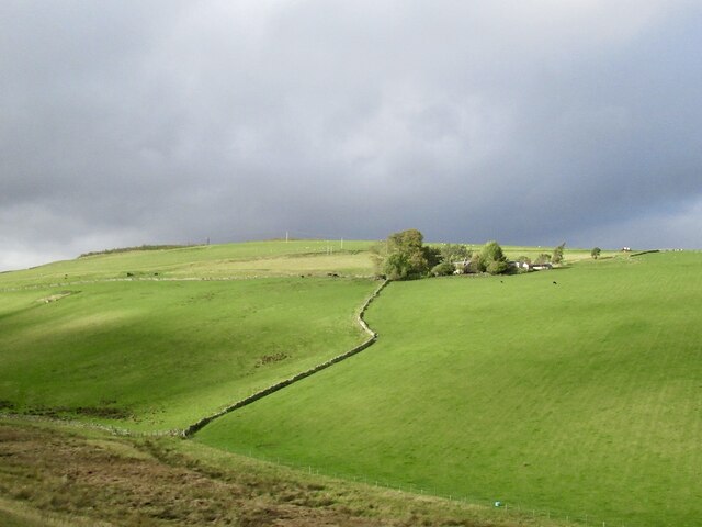
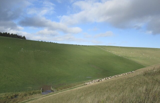
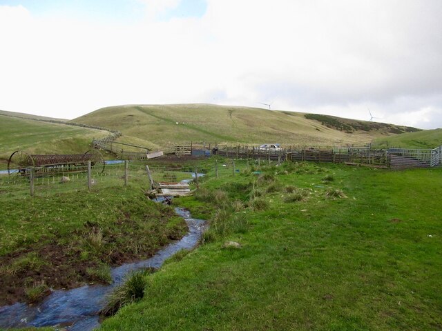
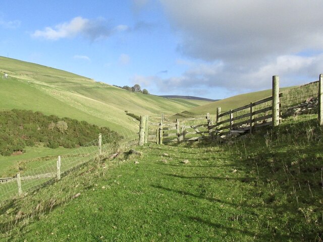
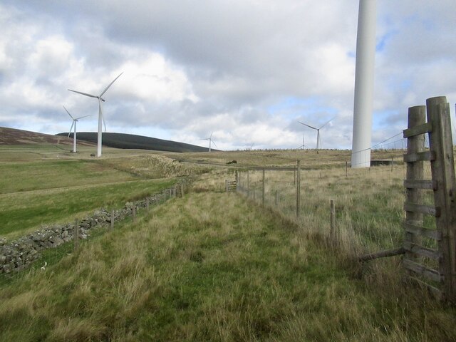
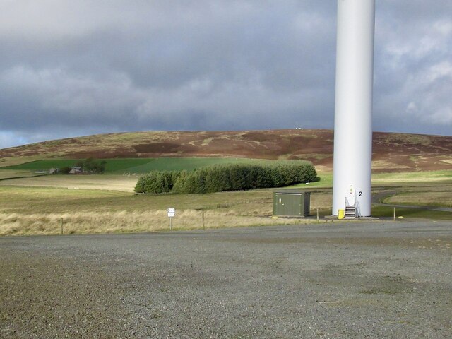
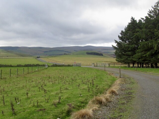
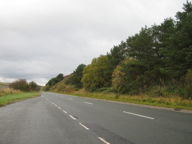
Mains Strip Images
Images are sourced within 2km of 55.758699/-2.9103305 or Grid Reference NT4252. Thanks to Geograph Open Source API. All images are credited.
Mains Strip is located at Grid Ref: NT4252 (Lat: 55.758699, Lng: -2.9103305)
Unitary Authority: The Scottish Borders
Police Authority: The Lothians and Scottish Borders
What 3 Words
///zoos.streetcar.engaging. Near Lauder, Scottish Borders
Nearby Locations
Related Wikis

Halltree
Halltree is a hamlet in the Scottish Borders. == Etymology == The etymology of Halltree is debated, but the second element is likely to be a Cumbric word...

Fountainhall railway station
Fountainhall railway station served the village of Fountainhall, Scottish Borders from 1848 to 1969 on the Waverley Route. == History == The station opened...
Allanshaugh
Allanshaugh is a fermtoun in the Scottish Borders area of Scotland. == See also == List of places in the Scottish Borders List of places in Scotland...

Borders Railway
The Borders Railway connects the city of Edinburgh with Galashiels and Tweedbank in the Scottish Borders. The railway follows most of the alignment of...

Heriot railway station
Heriot railway station served the village of Heriot, Scottish Borders, Scotland from 1848 to 1969 on the Waverley Route. == History == The station opened...

Heriot, Scottish Borders
Heriot is a small village in the Moorfoot Hills southeast of Edinburgh, Scotland, within Eildon (part of the Scottish Borders council area, though historically...

Channelkirk
Channelkirk is a parish and community council area in the north-west corner of the historic county of Berwickshire in the Scottish Borders area of Scotland...

Falahill
Falahill is a village in the Scottish Borders, in the Moorfoot Hills, at NT387563, in the Parish of Heriot, and close to the border with Midlothian. Nearby...
Nearby Amenities
Located within 500m of 55.758699,-2.9103305Have you been to Mains Strip?
Leave your review of Mains Strip below (or comments, questions and feedback).