Crookston Wood

Wood, Forest in Midlothian

Scotland

Crookston Wood

Toddle Burn Drinking spot for cattle.
Toddle Burn Credit: Richard Webb

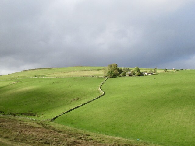
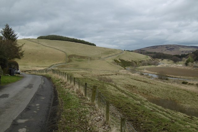
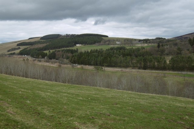
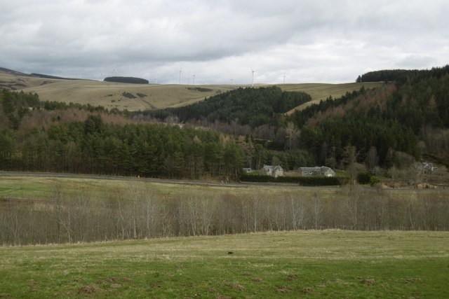
Crookston Wood, located in Midlothian, Scotland, is a picturesque forest known for its natural beauty and rich history. Covering an area of approximately 100 hectares, this woodland is situated on the outskirts of the village of Balerno.

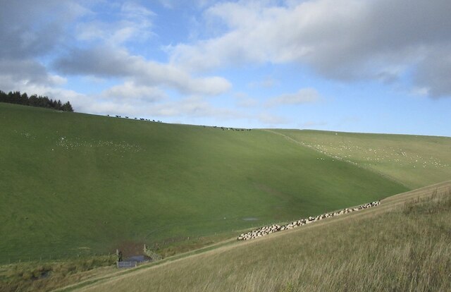
The wood is primarily made up of native broadleaved trees, such as oak, birch, and ash, with some coniferous species interspersed throughout. The diverse range of flora and fauna found in Crookston Wood makes it an ideal habitat for various wildlife species, including red squirrels, roe deer, and an array of bird species.

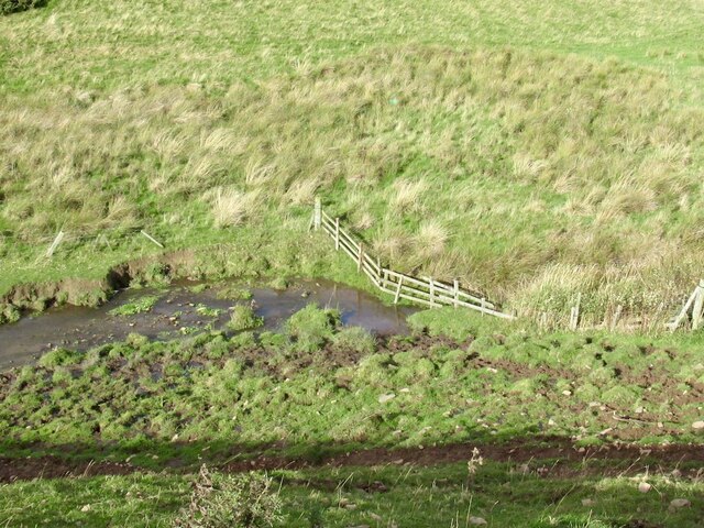
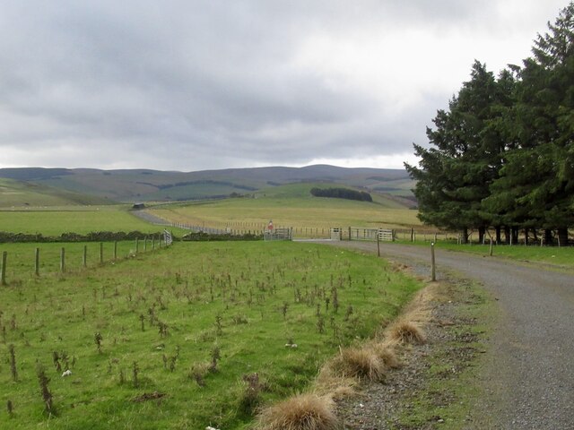
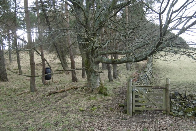
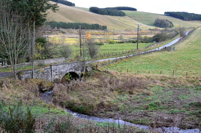
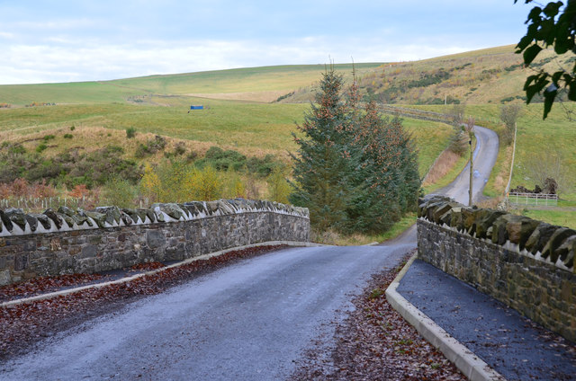
A network of well-maintained paths and trails crisscrosses the wood, allowing visitors to explore its beauty. One of the notable features of Crookston Wood is the presence of the Water of Leith, a river that runs through the forest and adds to its charm. The river provides a peaceful and idyllic setting, with several spots along its banks offering tranquil views and a chance to observe the local wildlife.

The wood has a rich history, with evidence of human activity dating back thousands of years. Archaeological remains, including ancient hut circles and burial cairns, have been discovered within the woodland, indicating that it was once inhabited by early settlers.

Crookston Wood offers visitors a chance to escape the hustle and bustle of city life and immerse themselves in nature. Whether it's a leisurely walk, birdwatching, or simply enjoying the serenity of the surroundings, this forest provides a perfect retreat for nature enthusiasts and those seeking a peaceful getaway.

If you have any feedback on the listing, please let us know in the comments section below.

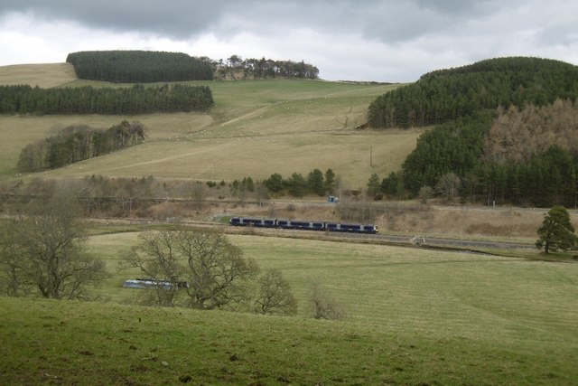
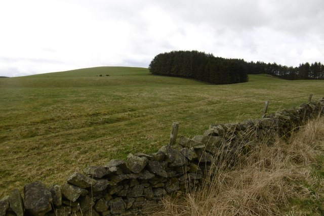
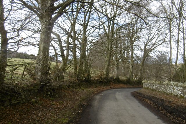
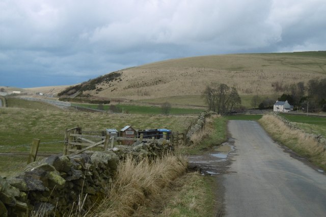
Crookston Wood Images

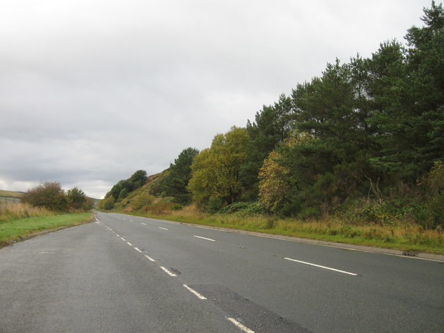
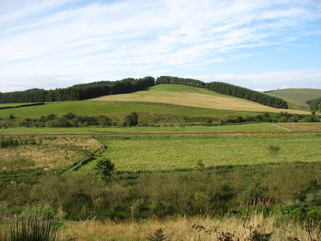
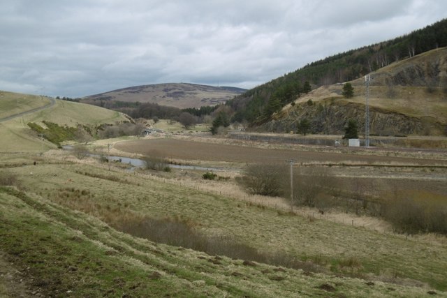
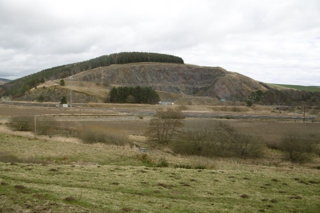
Images are sourced within 2km of 55.760678/-2.9219939 or Grid Reference NT4252. Thanks to Geograph Open Source API. All images are credited.

Toddle Burn Drinking spot for cattle.
Toddle Burn
Drinking spot for cattle.
Hoppringle The hill beyond used to have a conifer plantation forming the skyline.
Hoppringle
The hill beyond used to have a conifer plantation forming the skyline.
Driving sheep I was worried that I would be causing a problem here, but was simply asked to walk up the hill for a short distance.
Driving sheep
I was worried that I would be causing a problem here, but was simply asked to walk up the hill for a short distance.
Windfarm access road, Hopringle
A7 lay-by
A7 lay-by
Chapel Hill The recently reopened Borders Railway crosses the centre of this picture.
Chapel Hill
The recently reopened Borders Railway crosses the centre of this picture.
Gala Water A transport corridor with the A7 and again, the railway.
Gala Water
A transport corridor with the A7 and again, the railway.
Hazelbank Quarry The quarry has reopened.
Hazelbank Quarry
The quarry has reopened.
Yellow road, passing Brockhouse Looking upstream along the Gala Water.
Yellow road, passing Brockhouse
Looking upstream along the Gala Water.
View of Crookston Looking over the Gala Water from the single track road on the west side of the river.
View of Crookston
Looking over the Gala Water from the single track road on the west side of the river.
Crookston Across the Gala Water.
Crookston
Across the Gala Water.
Stripwood, White Hill A strip on the west side of the Gala Water.
Stripwood, White Hill
A strip on the west side of the Gala Water.
Borders Railway, Halltree An Edinburgh bound train passes a road junction on the A7.
Borders Railway, Halltree
An Edinburgh bound train passes a road junction on the A7.
Hillside above Halltree
Yellow road, Kilcoulter Approach to Kilcoulter Bridge, heading northwards.
Yellow road, Kilcoulter
Approach to Kilcoulter Bridge, heading northwards.
Road south of Heriot The white house by the A7 used to have a shop and filling station.
<a href="https://www.geograph.org.uk/photo/38033">NT4053 : Hangingshaw Post Office.</a>
Road south of Heriot
The white house by the A7 used to have a shop and filling station. NT4053 : Hangingshaw Post Office.
Chapel Bridge, Kilcoulter Old maps (e.g. OS 6" Edinburghshire sheet XXI.SW 1895) show Halltree Chapel a short distance to the south on Chapel Hill. The bridge carries the Fountainhall road across the Corsehope Burn.
Chapel Bridge, Kilcoulter
Old maps (e.g. OS 6" Edinburghshire sheet XXI.SW 1895) show Halltree Chapel a short distance to the south on Chapel Hill. The bridge carries the Fountainhall road across the Corsehope Burn.
Refurbished Kilcoulter Bridge The stone bridge carries the Heriot to Fountainhall road over the Heriot Water and has clearly undergone maintenance work recently. Compare with Mike Richardson's photograph <a href="https://www.geograph.org.uk/photo/3946067">NT4052 : Kilcoulter Bridge</a>.
Refurbished Kilcoulter Bridge
The stone bridge carries the Heriot to Fountainhall road over the Heriot Water and has clearly undergone maintenance work recently. Compare with Mike Richardson's photograph NT4052 : Kilcoulter Bridge.
Show me another place!

Crookston Wood is located at Grid Ref: NT4252 (Lat: 55.760678, Lng: -2.9219939)

Unitary Authority: The Scottish Borders

Police Authority: The Lothians and Scottish Borders

What 3 Words

///emblem.corded.jousting. Near Lauder, Scottish Borders

Related Wikis

Halltree

Halltree is a hamlet in the Scottish Borders. == Etymology == The etymology of Halltree is debated, but the second element is likely to be a Cumbric word...

Fountainhall railway station

Fountainhall railway station served the village of Fountainhall, Scottish Borders from 1848 to 1969 on the Waverley Route. == History == The station opened...

Borders Railway

The Borders Railway connects the city of Edinburgh with Galashiels and Tweedbank in the Scottish Borders. The railway follows most of the alignment of...

Heriot, Scottish Borders

Heriot is a small village in the Moorfoot Hills southeast of Edinburgh, Scotland, within Eildon (part of the Scottish Borders council area, though historically...

Nearby Amenities

Located within 500m of 55.760678,-2.9219939
Created By: Merkaartor 0.12
Lat/Long: 55.7619918/-2.929058
Bus Stop
Gilston Road End
Bus: yes
Naptan AtcoCode: 6900105
Naptan Bearing: S
Naptan CommonName: Gilston Rd End
Naptan Indicator: at
Naptan NaptanCode: 72724873
Naptan Street: A7
Operator: Scottish Borders Council
Public Transport: platform
Ref: 6900105
Source: NaPTAN
Lat/Long: 55.7604483/-2.9266165
Bus Stop
Gilston Road End
Naptan AtcoCode: 69001622
Naptan Bearing: N
Naptan BusStopType: CUS
Naptan CommonName: Gilston Road End
Naptan Indicator: Opp
Naptan Landmark: Gilston Road End
Naptan NaptanCode: 72789272
Naptan Street: A7
Naptan Verified: no
Source: naptan_import
Lat/Long: 55.7602544/-2.9268008
Bus Stop
Gilston Road End Lay-by
Bus: yes
Naptan AtcoCode: 69001623
Naptan Bearing: S
Naptan CommonName: Gilston Rd End Lay-by
Naptan Indicator: at
Naptan NaptanCode: 72798787
Naptan Street: A7
Operator: Scottish Borders Council
Public Transport: platform
Ref: 69001623
Source: NaPTAN
Lat/Long: 55.75895/-2.9246186
Parking
Source: survey
Lat/Long: 55.7591741/-2.9248473
Barrier: cattle_grid
Lat/Long: 55.7566872/-2.9229144
Noexit: yes
Lat/Long: 55.759/-2.9169855
Noexit: yes
Lat/Long: 55.759017/-2.9148179
Material: wood
Power: pole
Lat/Long: 55.7595784/-2.9261055
Material: wood
Power: pole
Lat/Long: 55.7599951/-2.9270233
Power: pole
Lat/Long: 55.7584714/-2.9259009
Material: wood
Power: pole
Lat/Long: 55.7565667/-2.9239946
Material: wood
Power: pole
Lat/Long: 55.757214/-2.9246538
Power: pole
Lat/Long: 55.7578599/-2.9253206
Power: pole
Lat/Long: 55.7566799/-2.9234143
Power: pole
Lat/Long: 55.7568145/-2.9229308
Power: pole
Lat/Long: 55.7573258/-2.9220069
Power: pole
Lat/Long: 55.7578442/-2.921111
Power: pole
Lat/Long: 55.7583826/-2.9201719
Power: pole
Lat/Long: 55.7594753/-2.920826
Power: pole
Lat/Long: 55.75906/-2.9205715
Power: pole
Lat/Long: 55.7581907/-2.9200701
Power: pole
Lat/Long: 55.7575449/-2.9197163
Power: pole
Lat/Long: 55.7568489/-2.9193066
Power: pole
Lat/Long: 55.7588509/-2.9259747
Power: pole
Lat/Long: 55.7605192/-2.9281507
Power: pole
Lat/Long: 55.761082/-2.9291917
Power: pole
Lat/Long: 55.7601441/-2.9291433
Power: pole
Lat/Long: 55.7604118/-2.928362
Power: pole
Lat/Long: 55.7609331/-2.9271989
Power: pole
Lat/Long: 55.7607498/-2.9258932
Power: pole
Lat/Long: 55.760598/-2.9246818
Power: pole
Lat/Long: 55.7611543/-2.916395
Power: pole
Lat/Long: 55.7610684/-2.9159292
Power: pole
Lat/Long: 55.7609481/-2.9152599
Power: pole
Lat/Long: 55.7594259/-2.9203119
Power: pole
Lat/Long: 55.759602/-2.9193167
Power: pole
Lat/Long: 55.7597782/-2.9184285
Power: pole
Lat/Long: 55.7599314/-2.9175734
Power: pole
Lat/Long: 55.7600904/-2.9167564
Power: pole
Lat/Long: 55.7606388/-2.916568
Power: pole
Lat/Long: 55.7617414/-2.9161761
Power: pole
Lat/Long: 55.7623858/-2.915947
Power: pole
Lat/Long: 55.763003/-2.915746
Noexit: yes
Lat/Long: 55.7590852/-2.9183856
The data included in this document is from www.openstreetmap.org. The data is made available under ODbL.

Have you been to Crookston Wood?

Leave your review of Crookston Wood below (or comments, questions and feedback).