Greenbank Plantation

Wood, Forest in Selkirkshire

Scotland

Greenbank Plantation

Haugh below Milsingden Flat grassland beside the Borthwick Water.
Haugh below Milsingden Credit: Richard Webb

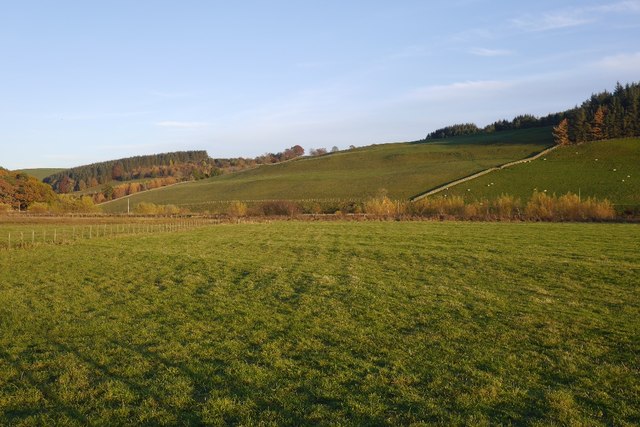
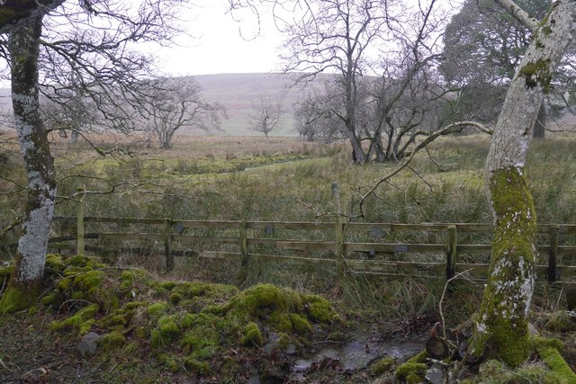
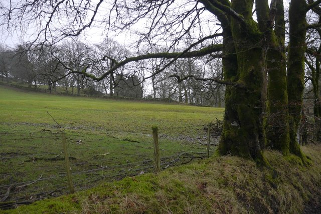
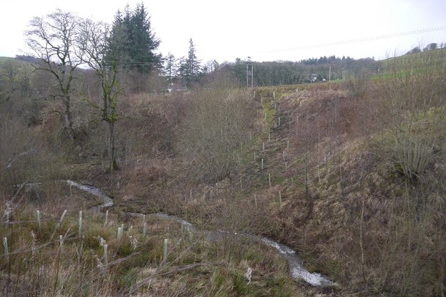
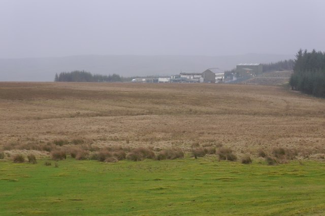
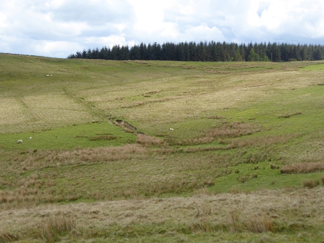
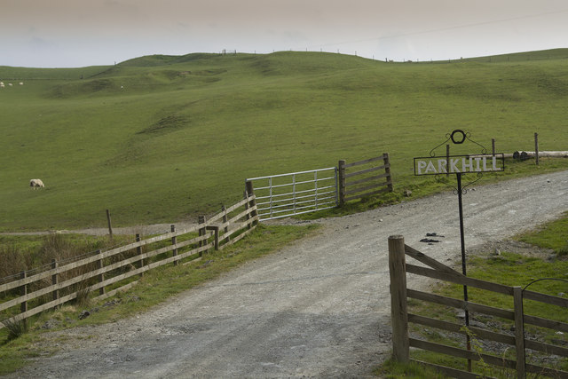
Greenbank Plantation is a scenic woodland located in Selkirkshire, Scotland. Situated in the heart of the Scottish Borders, this 200-acre plantation is renowned for its lush greenery and diverse array of trees and wildlife. It is a popular destination for nature enthusiasts and offers a tranquil escape from the bustling city life.

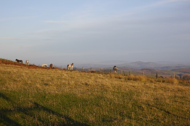
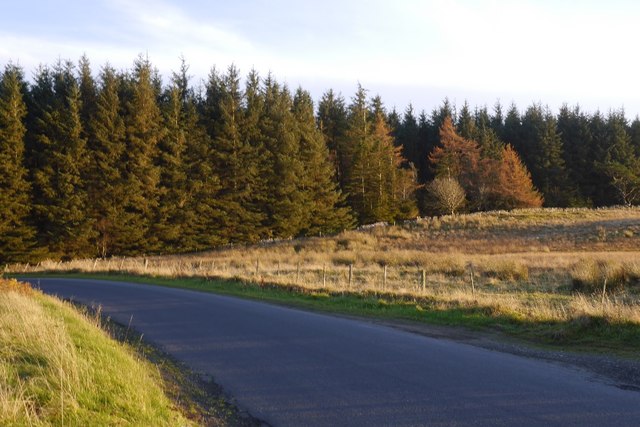
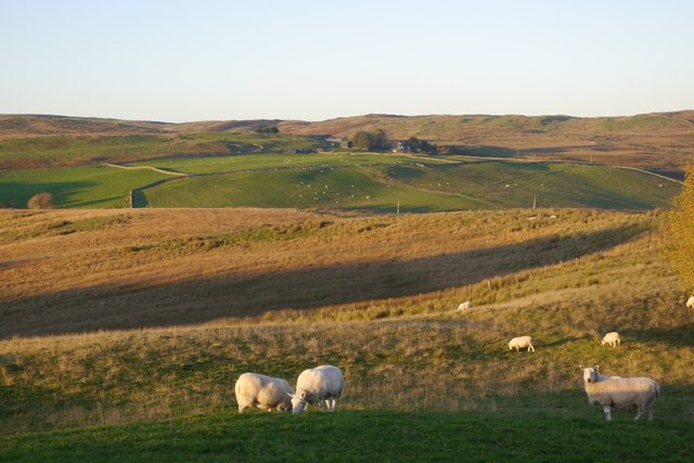
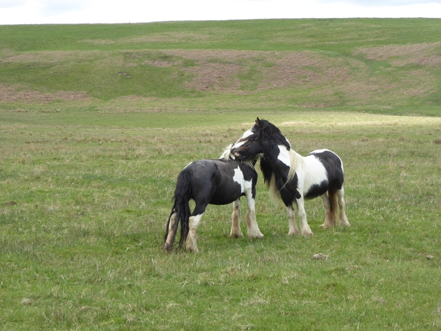
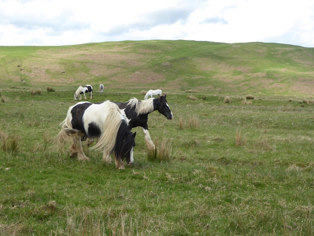
The plantation is primarily composed of native broadleaf trees such as oak, beech, and birch, which create a dense and vibrant forest. These trees provide a habitat for a variety of woodland creatures, including deer, squirrels, and a wide range of bird species. The plantation also features a small pond, which attracts water-loving animals like ducks and frogs.

Visitors to Greenbank Plantation can enjoy a network of well-maintained walking trails, allowing them to explore the woodland at their leisure. The paths wind through the trees, offering breathtaking views and opportunities for birdwatching and wildlife spotting. Picnic areas are scattered throughout the plantation, providing visitors with the perfect spot to relax and enjoy the peaceful surroundings.

The plantation is open to the public all year round, with each season offering its own unique charm. In the spring, the forest comes alive with vibrant blooms and the sound of birdsong. Summer brings a lush green canopy, providing shade from the warm sun. Autumn paints the woodland in a stunning array of reds, oranges, and yellows, creating a picturesque scene. Even in the winter, the plantation retains its beauty, with frost-covered trees and a peaceful atmosphere.

Greenbank Plantation is a true haven for nature lovers, offering a serene escape into the heart of the Scottish countryside.

If you have any feedback on the listing, please let us know in the comments section below.

Greenbank Plantation Images

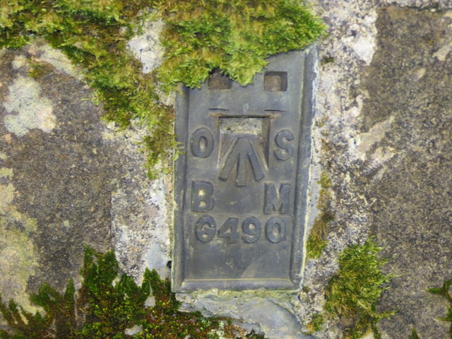
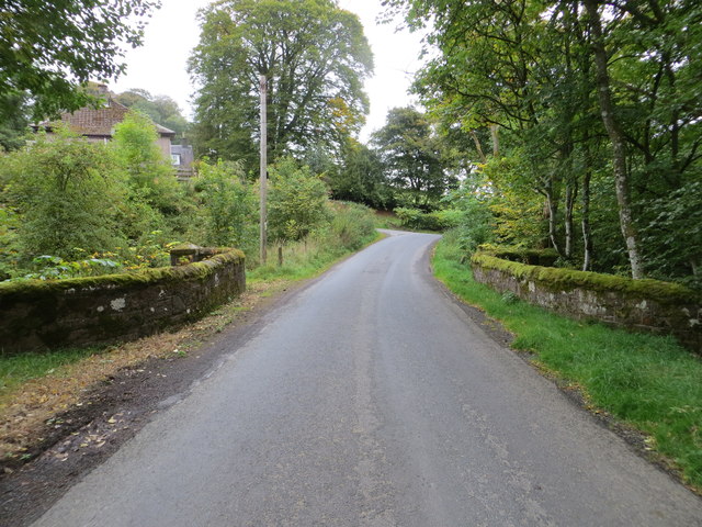
Images are sourced within 2km of 55.415372/-2.9189712 or Grid Reference NT4113. Thanks to Geograph Open Source API. All images are credited.

Haugh below Milsingden Flat grassland beside the Borthwick Water.
Haugh below Milsingden
Flat grassland beside the Borthwick Water.
Rough grazing Hill pasture above Wester Alemoor.
Rough grazing
Hill pasture above Wester Alemoor.
Parkend Plantation B711 passes a small conifer block.
Parkend Plantation
B711 passes a small conifer block.
Firestane Hill signpost Path signed from the B711.
Firestane Hill signpost
Path signed from the B711.
Sheep, Wester Alemoor Easter Alemoor in the background.
Sheep, Wester Alemoor
Easter Alemoor in the background.
Ordnance Survey Flush Bracket G490 This can be found on the parapet wall of the road bridge at Howcleuch.
For more detail see : <span class="nowrap"><a title="http://www.bench-marks.org.uk/bm13078" rel="nofollow ugc noopener" href="http://www.bench-marks.org.uk/bm13078">Link</a><img style="margin-left:2px;" alt="External link" title="External link - shift click to open in new window" src="https://s1.geograph.org.uk/img/external.png" width="10" height="10"/></span>
Ordnance Survey Flush Bracket G490
This can be found on the parapet wall of the road bridge at Howcleuch. For more detail see : LinkExternal link
Road (B711) and Bridge at Howcleuchshiel Looking eastward.
Road (B711) and Bridge at Howcleuchshiel
Looking eastward.
Wet woodland, Roberton Scattered trees in marshy ground beside the road to Ashkirk.
Wet woodland, Roberton
Scattered trees in marshy ground beside the road to Ashkirk.
Field, Howcleuchshiel
Glen Burn, Roberton
Glen Burn, Roberton
Waterworks, Borthwickshiels
Hillside above the Alemoor Reservoir The Parkhead Plantation can be seen at the top of the hill.
Hillside above the Alemoor Reservoir
The Parkhead Plantation can be seen at the top of the hill.
Sheep at Wester Alemoor Looking down to the Alemoor Reservoir
Sheep at Wester Alemoor
Looking down to the Alemoor Reservoir
Just good friends Two horses on the hillside above Roberton.
Just good friends
Two horses on the hillside above Roberton.
Horses on the hillside above Roberton
Chisholme hamlet This large house has several yourts in its grounds. It seems to be a place where you can live for a while to find yourself. There are a few other smaller houses in the hamlet.
Chisholme hamlet
This large house has several yourts in its grounds. It seems to be a place where you can live for a while to find yourself. There are a few other smaller houses in the hamlet.
The entrance to Parkhill Farm Parkhill Farm seems to be mainly pastoral, with a large number of sheep and some cattle. The cattle were all close to the farm buildings, whereas the sheep were scattered over several fields on the hillside.
The entrance to Parkhill Farm
Parkhill Farm seems to be mainly pastoral, with a large number of sheep and some cattle. The cattle were all close to the farm buildings, whereas the sheep were scattered over several fields on the hillside.
Parkhill Farm buildings The barn, half full of bales, with other buildings in the background.
Parkhill Farm buildings
The barn, half full of bales, with other buildings in the background.
Show me another place!

Greenbank Plantation is located at Grid Ref: NT4113 (Lat: 55.415372, Lng: -2.9189712)

Unitary Authority: The Scottish Borders

Police Authority: The Lothians and Scottish Borders

What 3 Words

///incursion.giggle.bravery. Near Hawick, Scottish Borders

Related Wikis

Burnfoot, Roberton

Burnfoot (Scottish Gaelic: Bun na h-Aibhne) is a hamlet in the Scottish Borders area of Scotland, close to Roberton, by the Borthwick Water. The nearest...

Roberton, Scottish Borders

Roberton is a small village in the Scottish Borders area of Scotland, on the B711 and near to the A7, 5 miles (8 kilometres) from Hawick, 22 mi (35 km...

Alemoor Loch

Alemoor Loch, also known as Alemoor Reservoir, is a small reservoir in the Scottish Borders area of Scotland. It is situated on the Ale Water, 10 kilometres...

Harden Castle

Harden Castle is a 16th century tower house, about 3.5 miles (5.6 km) west of Hawick, Scottish Borders. It is alternatively known as Harden House or Harden...

Nearby Amenities

Located within 500m of 55.415372,-2.9189712
Telephone
Booth: K6
Covered: booth
Source: survey
Lat/Long: 55.414831/-2.9111439
Power: pole
Lat/Long: 55.4140348/-2.926537
Power: pole
Lat/Long: 55.4142687/-2.9251852
Power: pole
Lat/Long: 55.4143973/-2.9244539
Power: pole
Lat/Long: 55.4149101/-2.923483
Power: pole
Lat/Long: 55.4155111/-2.922345
Power: pole
Lat/Long: 55.416103/-2.9212429
Power: pole
Lat/Long: 55.4166643/-2.9206275
Power: pole
Lat/Long: 55.4172109/-2.9196825
Power: pole
Lat/Long: 55.4177297/-2.9187323
Power: pole
Lat/Long: 55.4182588/-2.9177615
Power: pole
Lat/Long: 55.4185321/-2.9172594
Power: pole
Lat/Long: 55.418801/-2.916456
Power: pole
Lat/Long: 55.4189603/-2.915408
Power: pole
Lat/Long: 55.4143871/-2.9235681
Power: pole
Lat/Long: 55.4137542/-2.9233132
Power: pole
Lat/Long: 55.4132031/-2.9231612
Power: pole
Lat/Long: 55.417828/-2.9169208
Power: pole
Lat/Long: 55.4177272/-2.9167431
Power: pole
Lat/Long: 55.4173457/-2.9160118
Power: pole
Lat/Long: 55.416897/-2.9151518
Power: pole
Lat/Long: 55.4165214/-2.9144385
Power: pole
Lat/Long: 55.4160625/-2.9135785
Power: pole
Lat/Long: 55.4156065/-2.912685
Power: pole
Lat/Long: 55.4152308/-2.9119563
Power: pole
Lat/Long: 55.4148976/-2.9113177
The data included in this document is from www.openstreetmap.org. The data is made available under ODbL.

Have you been to Greenbank Plantation?

Leave your review of Greenbank Plantation below (or comments, questions and feedback).