Bickerton Plantation

Wood, Forest in Selkirkshire

Scotland

Bickerton Plantation

Haugh below Milsingden Flat grassland beside the Borthwick Water.
Haugh below Milsingden Credit: Richard Webb

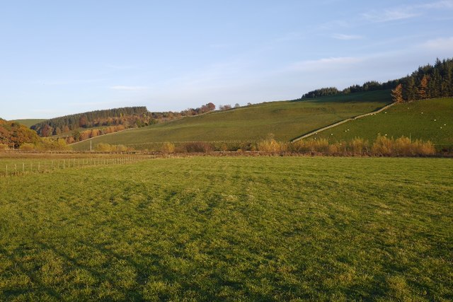
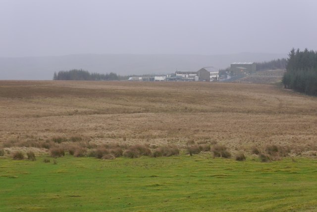
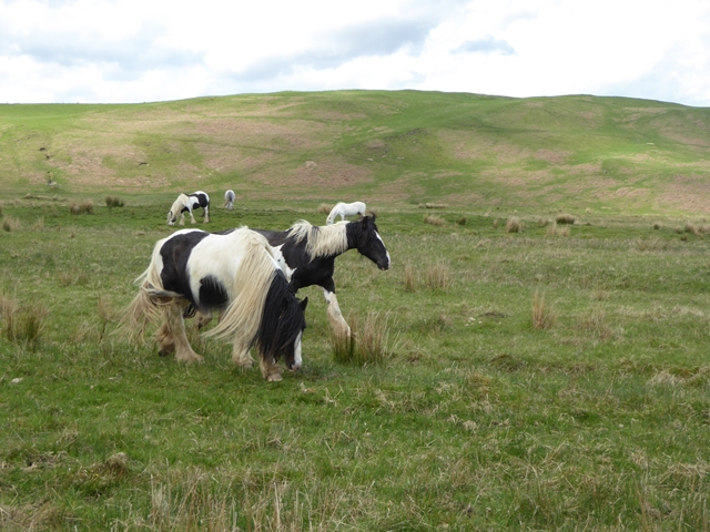
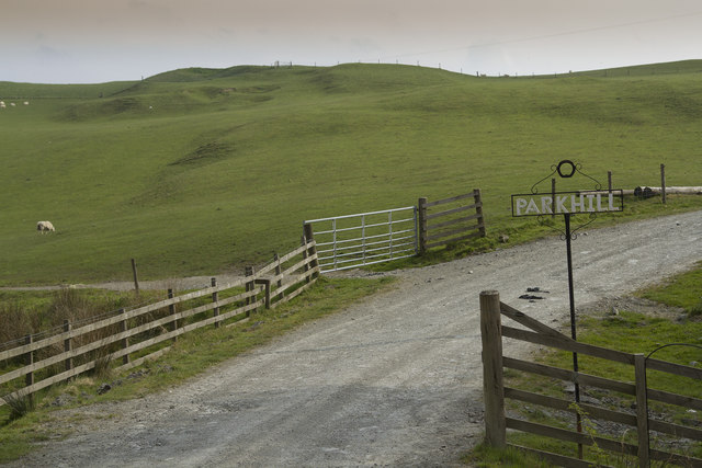
Bickerton Plantation is a picturesque woodland area located in Selkirkshire, Scotland. Spanning approximately 400 acres, it is known for its abundant natural beauty and diverse range of trees and plant species. The plantation is situated near the town of Selkirk, just a short distance from the Scottish Borders.

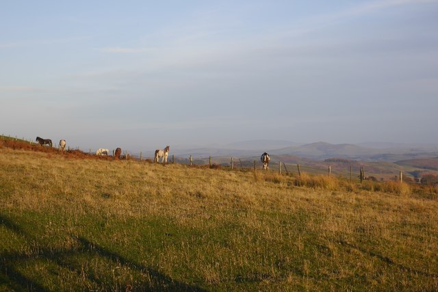
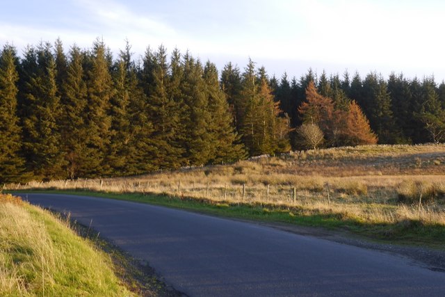
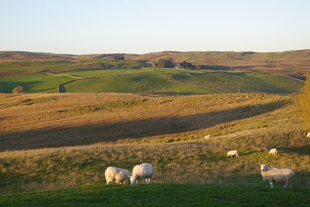
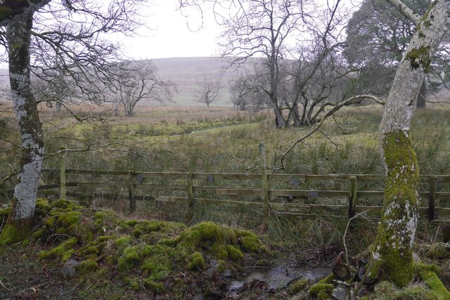
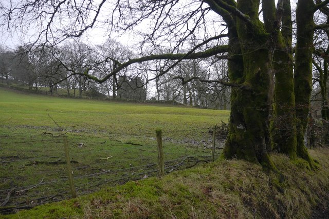
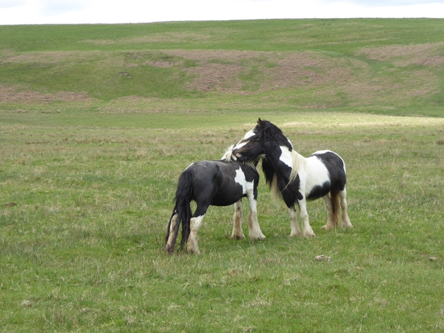
The woodland is primarily made up of native broadleaf trees, including oak, birch, beech, and ash. These trees create a dense and lush canopy, providing a habitat for a wide variety of wildlife. Visitors to Bickerton Plantation may have the opportunity to spot various bird species such as woodpeckers, owls, and songbirds, as well as small mammals like squirrels and hedgehogs.

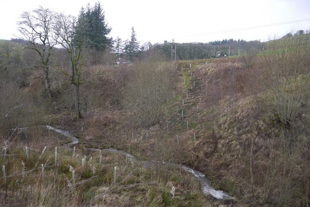
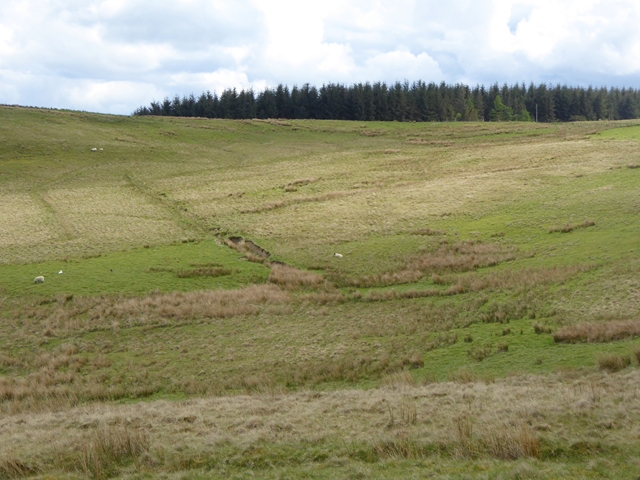
The plantation offers a network of well-maintained walking trails, allowing visitors to explore the woodland and take in its tranquil atmosphere. These paths wind through the trees and alongside the meandering Bickerton Burn, a small river that runs through the plantation. The peaceful sound of flowing water adds to the serenity of the area.

Bickerton Plantation is a popular destination for nature enthusiasts, hikers, and those seeking a peaceful retreat in the heart of nature. The plantation is open to the public year-round, with no admission fees. It provides an ideal setting for leisurely walks, picnics, and photography, offering visitors a chance to immerse themselves in the beauty of Scotland's natural landscape.

If you have any feedback on the listing, please let us know in the comments section below.

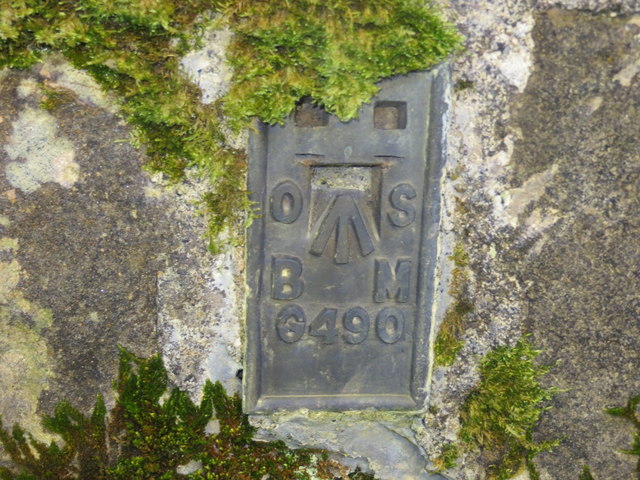
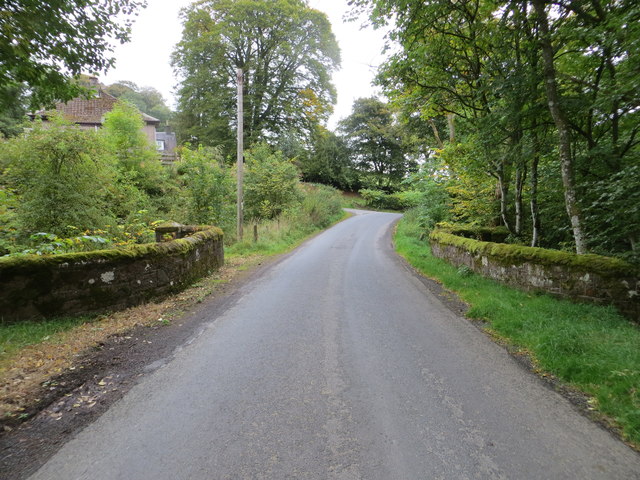
Bickerton Plantation Images

Images are sourced within 2km of 55.413407/-2.9221005 or Grid Reference NT4113. Thanks to Geograph Open Source API. All images are credited.

Haugh below Milsingden Flat grassland beside the Borthwick Water.
Haugh below Milsingden
Flat grassland beside the Borthwick Water.
Rough grazing Hill pasture above Wester Alemoor.
Rough grazing
Hill pasture above Wester Alemoor.
Parkend Plantation B711 passes a small conifer block.
Parkend Plantation
B711 passes a small conifer block.
Firestane Hill signpost Path signed from the B711.
Firestane Hill signpost
Path signed from the B711.
Sheep, Wester Alemoor Easter Alemoor in the background.
Sheep, Wester Alemoor
Easter Alemoor in the background.
Ordnance Survey Flush Bracket G490 This can be found on the parapet wall of the road bridge at Howcleuch.
For more detail see : <span class="nowrap"><a title="http://www.bench-marks.org.uk/bm13078" rel="nofollow ugc noopener" href="http://www.bench-marks.org.uk/bm13078">Link</a><img style="margin-left:2px;" alt="External link" title="External link - shift click to open in new window" src="https://s1.geograph.org.uk/img/external.png" width="10" height="10"/></span>
Ordnance Survey Flush Bracket G490
This can be found on the parapet wall of the road bridge at Howcleuch. For more detail see : LinkExternal link
Road (B711) and Bridge at Howcleuchshiel Looking eastward.
Road (B711) and Bridge at Howcleuchshiel
Looking eastward.
Wet woodland, Roberton Scattered trees in marshy ground beside the road to Ashkirk.
Wet woodland, Roberton
Scattered trees in marshy ground beside the road to Ashkirk.
Field, Howcleuchshiel
Glen Burn, Roberton
Glen Burn, Roberton
Waterworks, Borthwickshiels
Hillside above the Alemoor Reservoir The Parkhead Plantation can be seen at the top of the hill.
Hillside above the Alemoor Reservoir
The Parkhead Plantation can be seen at the top of the hill.
Sheep at Wester Alemoor Looking down to the Alemoor Reservoir
Sheep at Wester Alemoor
Looking down to the Alemoor Reservoir
Just good friends Two horses on the hillside above Roberton.
Just good friends
Two horses on the hillside above Roberton.
Horses on the hillside above Roberton
The Woodburn This small stream, a burn in Scotland, passes right by our holiday cottage. There are Grey Wagtail and many other birds feeding and drinking by the banks of the burn.
The Woodburn
This small stream, a burn in Scotland, passes right by our holiday cottage. There are Grey Wagtail and many other birds feeding and drinking by the banks of the burn.
Chisholme hamlet This large house has several yourts in its grounds. It seems to be a place where you can live for a while to find yourself. There are a few other smaller houses in the hamlet.
Chisholme hamlet
This large house has several yourts in its grounds. It seems to be a place where you can live for a while to find yourself. There are a few other smaller houses in the hamlet.
The entrance to Parkhill Farm Parkhill Farm seems to be mainly pastoral, with a large number of sheep and some cattle. The cattle were all close to the farm buildings, whereas the sheep were scattered over several fields on the hillside.
The entrance to Parkhill Farm
Parkhill Farm seems to be mainly pastoral, with a large number of sheep and some cattle. The cattle were all close to the farm buildings, whereas the sheep were scattered over several fields on the hillside.
Show me another place!

Bickerton Plantation is located at Grid Ref: NT4113 (Lat: 55.413407, Lng: -2.9221005)

Unitary Authority: The Scottish Borders

Police Authority: The Lothians and Scottish Borders

What 3 Words

///backpack.rinse.retailing. Near Hawick, Scottish Borders

Related Wikis

Burnfoot, Roberton

Burnfoot (Scottish Gaelic: Bun na h-Aibhne) is a hamlet in the Scottish Borders area of Scotland, close to Roberton, by the Borthwick Water. The nearest...

Roberton, Scottish Borders

Roberton is a small village in the Scottish Borders area of Scotland, on the B711 and near to the A7, 5 miles (8 kilometres) from Hawick, 22 mi (35 km...

Alemoor Loch

Alemoor Loch, also known as Alemoor Reservoir, is a small reservoir in the Scottish Borders area of Scotland. It is situated on the Ale Water, 10 kilometres...

Harden Castle

Harden Castle is a 16th century tower house, about 3.5 miles (5.6 km) west of Hawick, Scottish Borders. It is alternatively known as Harden House or Harden...

Nearby Amenities

Located within 500m of 55.413407,-2.9221005
Power: pole
Lat/Long: 55.4135671/-2.9292176
Power: pole
Lat/Long: 55.4137966/-2.9278734
Power: pole
Lat/Long: 55.4140348/-2.926537
Power: pole
Lat/Long: 55.4142687/-2.9251852
Power: pole
Lat/Long: 55.4143973/-2.9244539
Power: pole
Lat/Long: 55.4149101/-2.923483
Power: pole
Lat/Long: 55.4155111/-2.922345
Power: pole
Lat/Long: 55.416103/-2.9212429
Power: pole
Lat/Long: 55.4166643/-2.9206275
Power: pole
Lat/Long: 55.4172109/-2.9196825
Power: pole
Lat/Long: 55.4143871/-2.9235681
Power: pole
Lat/Long: 55.4137542/-2.9233132
Power: pole
Lat/Long: 55.4132031/-2.9231612
The data included in this document is from www.openstreetmap.org. The data is made available under ODbL.

Have you been to Bickerton Plantation?

Leave your review of Bickerton Plantation below (or comments, questions and feedback).