Dyker Law Plantation

Wood, Forest in Midlothian

Scotland

Dyker Law Plantation

Windthrow, Howliston The storm damage ("Arwen" 26/11/2021) has revealed the ruins of a tower house.
Windthrow, Howliston Credit: Richard Webb

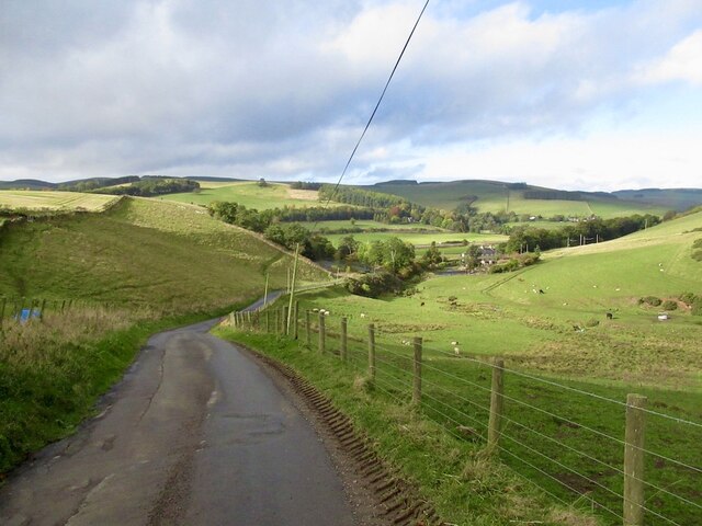
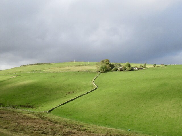
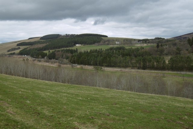
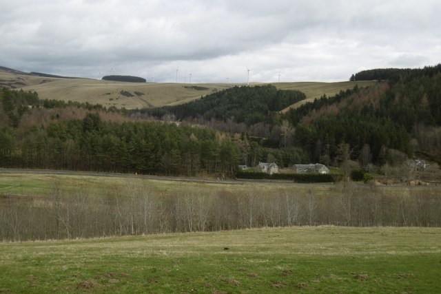
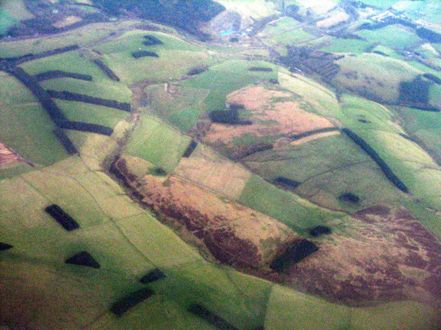
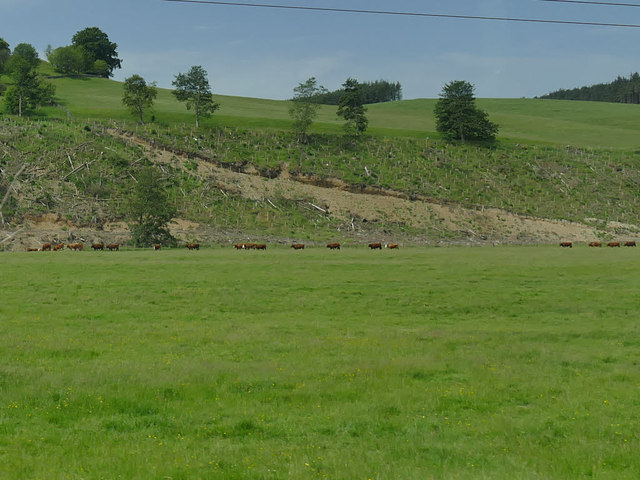
Dyker Law Plantation, located in Midlothian, Scotland, is a captivating woodland area, renowned for its natural beauty and rich historical significance. Spanning over several acres, this plantation is nestled amidst the picturesque landscapes of the Midlothian countryside, offering visitors a tranquil retreat from the bustling city life.

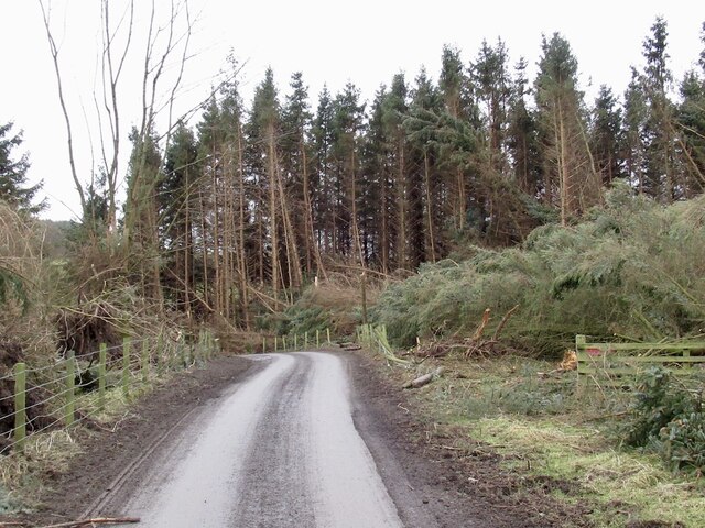
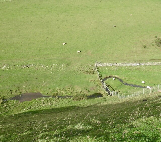
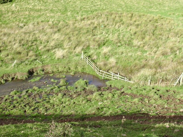
The plantation is predominantly composed of a diverse array of trees, including oak, elm, beech, and birch, creating a lush and verdant canopy that provides shelter to an abundance of wildlife. The plantation is home to various species of birds, such as thrushes, woodpeckers, and owls, making it a haven for birdwatching enthusiasts.

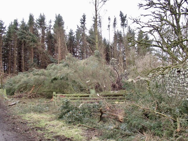
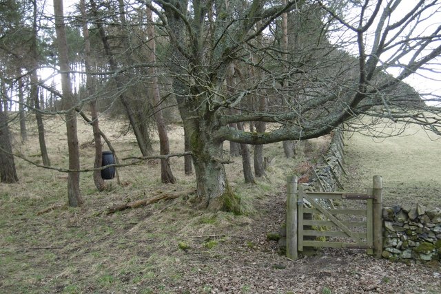
Historically, Dyker Law Plantation played a crucial role in the timber industry during the 19th and early 20th centuries. The area was extensively managed for the production of timber, providing valuable resources for construction and fuel. Today, remnants of this era can still be found within the plantation, including the remains of old sawmills and logging tracks, adding an intriguing historical dimension to the site.

For outdoor enthusiasts, Dyker Law Plantation offers an extensive network of walking trails, allowing visitors to explore the enchanting woodland at their own pace. The trails wind through towering trees, offering breathtaking vistas and opportunities for peaceful reflection. Additionally, the plantation is equipped with picnic areas, making it an ideal spot for families and friends to enjoy a leisurely day out in nature.

Dyker Law Plantation is a true gem in the heart of Midlothian, offering a unique blend of natural beauty and historical significance that is sure to captivate all who visit.

If you have any feedback on the listing, please let us know in the comments section below.

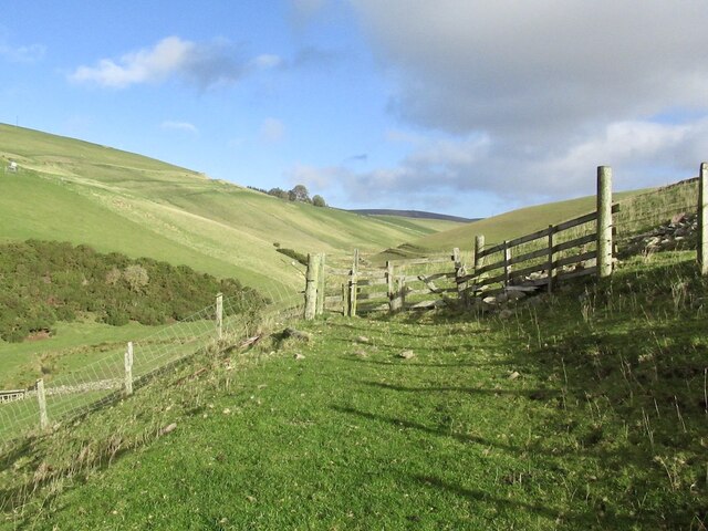
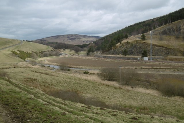
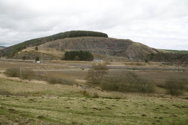
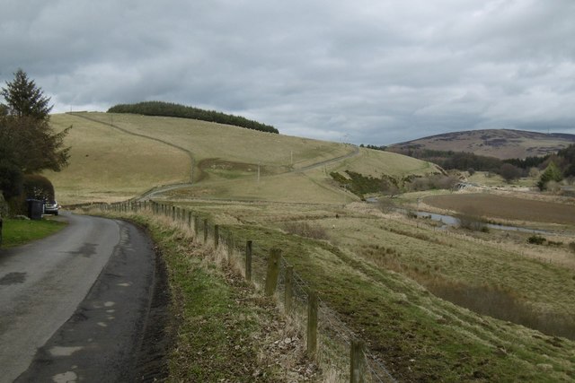
Dyker Law Plantation Images

Images are sourced within 2km of 55.739816/-2.9265508 or Grid Reference NT4149. Thanks to Geograph Open Source API. All images are credited.

Windthrow, Howliston The storm damage ("Arwen" 26/11/2021) has revealed the ruins of a tower house.
Windthrow, Howliston
The storm damage ("Arwen" 26/11/2021) has revealed the ruins of a tower house.
Windthrow, Howliston Much of a small conifer plantation was felled by a gale on 26th November 2021.
Windthrow, Howliston
Much of a small conifer plantation was felled by a gale on 26th November 2021.
Quarry, Fountainhall Now partially fenced.
Quarry, Fountainhall
Now partially fenced.
Track end, Cortleferry Signposted for Resting House, but now has two electric fences in the way. They can be crossed, but confidence and cunning may be required. It's a lovely grassy track.
Track end, Cortleferry
Signposted for Resting House, but now has two electric fences in the way. They can be crossed, but confidence and cunning may be required. It's a lovely grassy track.
Road from Cortleferry
Toddle Burn
Toddle Burn
Toddle Burn Drinking spot for cattle.
Toddle Burn
Drinking spot for cattle.
Hoppringle The hill beyond used to have a conifer plantation forming the skyline.
Hoppringle
The hill beyond used to have a conifer plantation forming the skyline.
Old gate and electric fence An awkward obstacle on a road that is obviously no longer used.
Old gate and electric fence
An awkward obstacle on a road that is obviously no longer used.
Gala Water A transport corridor with the A7 and again, the railway.
Gala Water
A transport corridor with the A7 and again, the railway.
Hazelbank Quarry The quarry has reopened.
Hazelbank Quarry
The quarry has reopened.
Yellow road, passing Brockhouse Looking upstream along the Gala Water.
Yellow road, passing Brockhouse
Looking upstream along the Gala Water.
View of Crookston Looking over the Gala Water from the single track road on the west side of the river.
View of Crookston
Looking over the Gala Water from the single track road on the west side of the river.
Crookston Across the Gala Water.
Crookston
Across the Gala Water.
Stripwood, White Hill A strip on the west side of the Gala Water.
Stripwood, White Hill
A strip on the west side of the Gala Water.
Between Heriot and Fountainhall Plantations and upland pastures to the west of the Gala Water valley. The A7 runs in the valley across the  top of the picture.
Between Heriot and Fountainhall
Plantations and upland pastures to the west of the Gala Water valley. The A7 runs in the valley across the top of the picture.
Cattle by the Gala Water Viewed from a passing train.
Cattle by the Gala Water
Viewed from a passing train.
The Gala Water at Crookston Viewed from a passing train on a bridge, which is better seen in <a href="https://www.geograph.org.uk/photo/567006">NT4251 : Cattle, Crookston</a>.
The Gala Water at Crookston
Viewed from a passing train on a bridge, which is better seen in NT4251 : Cattle, Crookston.
Show me another place!

Dyker Law Plantation is located at Grid Ref: NT4149 (Lat: 55.739816, Lng: -2.9265508)

Unitary Authority: The Scottish Borders

Police Authority: The Lothians and Scottish Borders

What 3 Words

///glow.tapes.quicksand. Near Lauder, Scottish Borders

Related Wikis

Fountainhall railway station

Fountainhall railway station served the village of Fountainhall, Scottish Borders from 1848 to 1969 on the Waverley Route. == History == The station opened...

Allanshaugh

Allanshaugh is a fermtoun in the Scottish Borders area of Scotland. == See also == List of places in the Scottish Borders List of places in Scotland...

Halltree

Halltree is a hamlet in the Scottish Borders. == Etymology == The etymology of Halltree is debated, but the second element is likely to be a Cumbric word...

Heriot, Scottish Borders

Heriot is a small village in the Moorfoot Hills southeast of Edinburgh, Scotland, within Eildon (part of the Scottish Borders council area, though historically...

Nearby Amenities

Located within 500m of 55.739816,-2.9265508
Power: pole
Lat/Long: 55.738069/-2.9193066
Power: pole
Lat/Long: 55.7387511/-2.9198588
Power: pole
Lat/Long: 55.7394202/-2.9203908
Power: pole
Lat/Long: 55.7400907/-2.9209201
Power: pole
Lat/Long: 55.7407627/-2.9214801
Power: pole
Lat/Long: 55.7416581/-2.9213528
Power: pole
Lat/Long: 55.7425048/-2.921788
Power: pole
Lat/Long: 55.7430695/-2.9220522
Power: pole
Lat/Long: 55.7434733/-2.922241
Power: pole
Lat/Long: 55.743085/-2.9211238
Generator Method: wind_turbine
Generator Output Electricity: yes
Generator Source: wind
Generator Type: horizontal_axis
Power: generator
Lat/Long: 55.7432564/-2.9288703
The data included in this document is from www.openstreetmap.org. The data is made available under ODbL.

Have you been to Dyker Law Plantation?

Leave your review of Dyker Law Plantation below (or comments, questions and feedback).