Marl Law Wood

Wood, Forest in East Lothian

Scotland

Marl Law Wood

Turning for Blackcastle Several no through road signs, it only goes to the farm.
Turning for Blackcastle Credit: Richard Webb

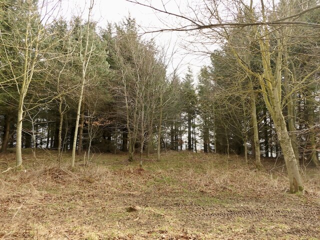
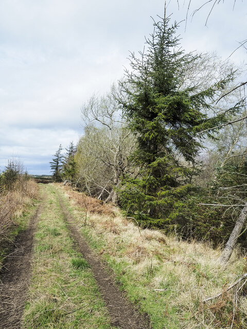
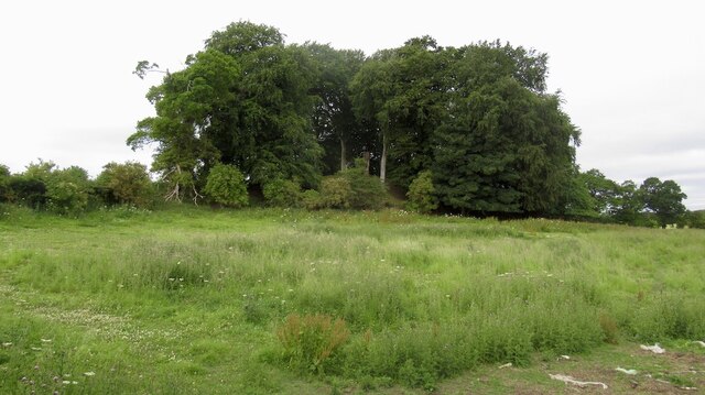
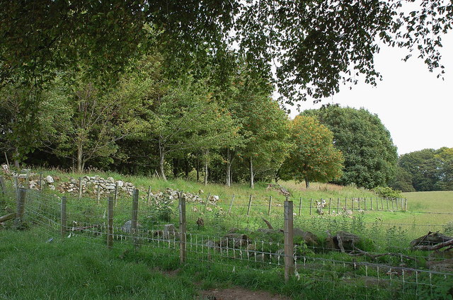
Marl Law Wood is a picturesque forest located in East Lothian, Scotland. Covering an area of approximately 100 acres, it is nestled amidst the rolling countryside and offers a tranquil escape from the bustling city life. The wood is primarily composed of native broadleaf trees, including oak, ash, birch, and beech, which create a rich and diverse ecosystem.

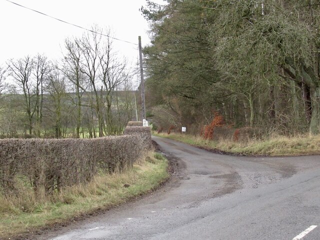
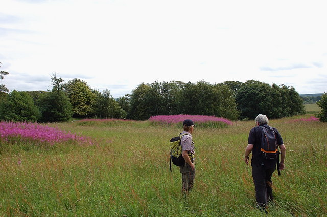
Walking through Marl Law Wood, visitors are greeted by a network of well-maintained paths that wind their way through the forest, allowing for easy exploration. The paths are lined with vibrant wildflowers and ferns, adding to the natural beauty of the surroundings. Wildlife enthusiasts will delight in the chance to spot various species of birds, such as woodpeckers, owls, and thrushes, as well as small mammals like squirrels, rabbits, and deer.

The wood also boasts a small pond, home to a variety of aquatic plants and creatures, adding a touch of serenity to the overall ambiance. Picnic areas are available for visitors to relax and enjoy a meal amidst nature, while benches strategically placed along the paths offer opportunities to rest and take in the scenic views.

Managed by the local council, Marl Law Wood is well-preserved and provides a safe and enjoyable experience for visitors of all ages. Educational programs and guided walks are occasionally organized, offering insights into the forest's history, ecology, and conservation efforts.

Overall, Marl Law Wood is a hidden gem in East Lothian, offering a peaceful retreat for nature lovers and a chance to immerse oneself in the beauty of Scotland's natural landscapes.

If you have any feedback on the listing, please let us know in the comments section below.

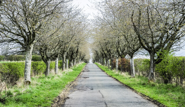
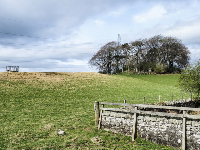
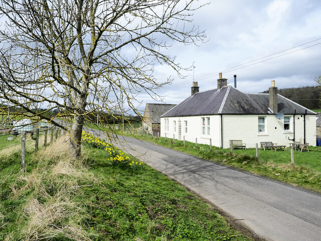
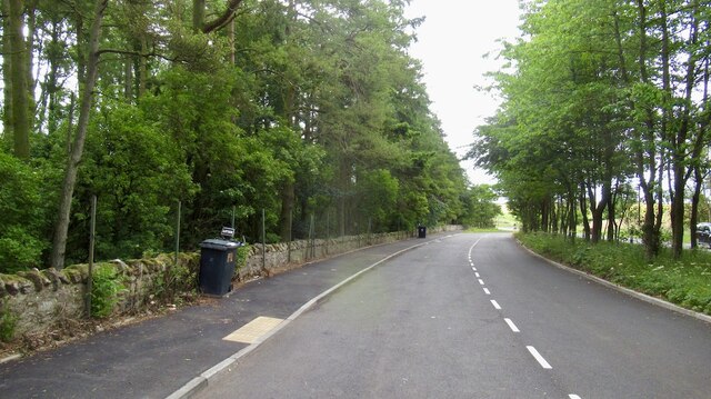
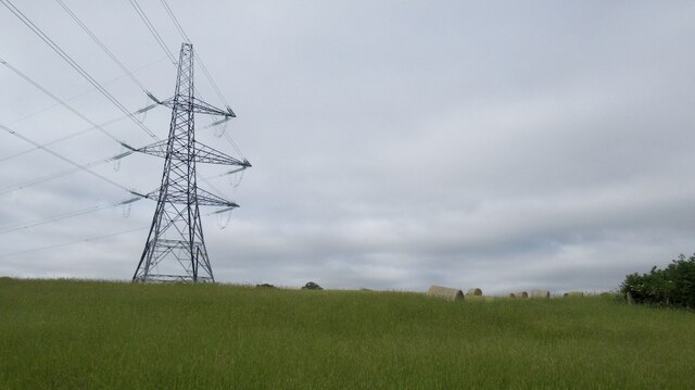
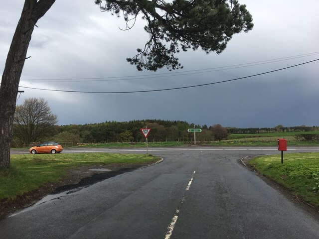
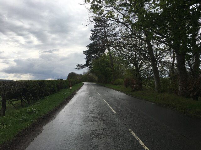
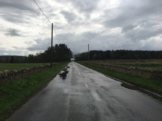
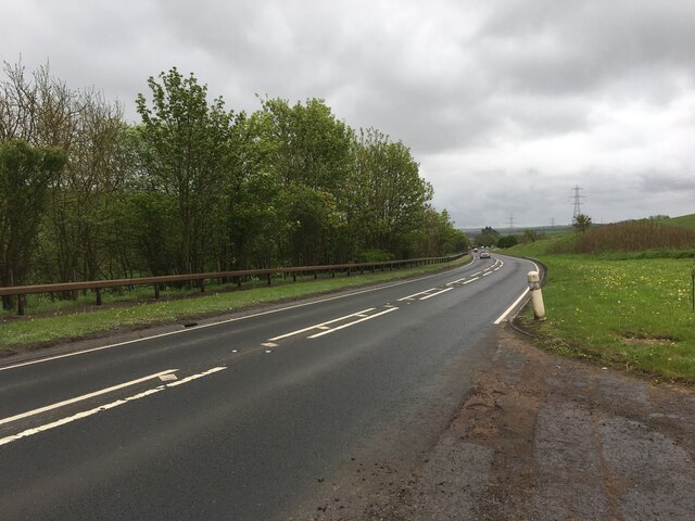
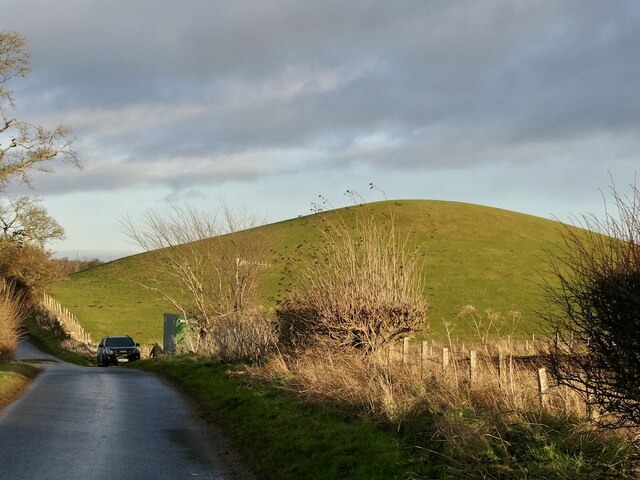
Marl Law Wood Images

Images are sourced within 2km of 55.850402/-2.9333177 or Grid Reference NT4162. Thanks to Geograph Open Source API. All images are credited.

Turning for Blackcastle Several no through road signs, it only goes to the farm.
Turning for Blackcastle
Several no through road signs, it only goes to the farm.
Summit area, Dodridge Law A stripwood.
Summit area, Dodridge Law
A stripwood.
North side of Dodridge Law
Costerton Mains Taken 16 years after <a href="https://www.geograph.org.uk/photo/82964">NT4362 : Costerton Mains</a>.
Costerton Mains
Taken 16 years after NT4362 : Costerton Mains.
Tree-lined road near to A68 A minor road heading towards Whitburgh Mains Farm on the north-east side of the A68 close to Pathhead.
Tree-lined road near to A68
A minor road heading towards Whitburgh Mains Farm on the north-east side of the A68 close to Pathhead.
Clump of trees on south-west side of A68 Trees close to the A68, south-east of Pathhead.
Clump of trees on south-west side of A68
Trees close to the A68, south-east of Pathhead.
Minor road passing Old Chrighton Dean Cottage The road is close to the A68 and soon joins it in the direction of view. The cottage is named on OS maps with its name spelled without the first 'g'; the spelling used on the property's gate is used here.
Minor road passing Old Chrighton Dean Cottage
The road is close to the A68 and soon joins it in the direction of view. The cottage is named on OS maps with its name spelled without the first 'g'; the spelling used on the property's gate is used here.
Track between road and Routing Glen The track is rising towards a minor road north of the small settlement at Fala; it's not shown on OS maps. Routing Glen falling to the right, is remarkably steep-sided and deep for a lowland area.
Track between road and Routing Glen
The track is rising towards a minor road north of the small settlement at Fala; it's not shown on OS maps. Routing Glen falling to the right, is remarkably steep-sided and deep for a lowland area.
A68 layby, Magazine Wood Taken shortly before a high fence was erected between wood and road.
A68 layby, Magazine Wood
Taken shortly before a high fence was erected between wood and road.
Power line near Hope Line from Cockenzie southwards.
Power line near Hope
Line from Cockenzie southwards.
Woodland, Hope View from the A68.
Woodland, Hope
View from the A68.
Junction of the B6458 and A68
B6458 near Saughland
A68 south of Pathhead
Crow Law A striking small hill near Crichton
Crow Law
A striking small hill near Crichton
Roman fort, Longfaugh The SE boundary of this sizeable fort in farmland W of Longfaugh. 

The remains of the fort are two roughly circular concentric earth ramparts over 100m diameter overall, fenced off from the adjacent fields with trees planted inside the fence. It is thought to have been a Roman fort; around 1785 12 Roman coins were found probably from this site. For more details, see <span class="nowrap"><a title="http://www.scotlandsplaces.gov.uk/search_item/index.php?service=RCAHMS&id=54796" rel="nofollow ugc noopener" href="http://www.scotlandsplaces.gov.uk/search_item/index.php?service=RCAHMS&id=54796">Link</a><img style="margin-left:2px;" alt="External link" title="External link - shift click to open in new window" src="https://s1.geograph.org.uk/img/external.png" width="10" height="10"/></span>
Roman fort, Longfaugh
The SE boundary of this sizeable fort in farmland W of Longfaugh. The remains of the fort are two roughly circular concentric earth ramparts over 100m diameter overall, fenced off from the adjacent fields with trees planted inside the fence. It is thought to have been a Roman fort; around 1785 12 Roman coins were found probably from this site. For more details, see LinkExternal link
Interior of Roman fort, Longfaugh The extensive area inside the ramparts of this fort.

The remains of the fort are two roughly circular concentric earth ramparts over 100m diameter overall, fenced off from the adjacent fields with trees planted inside the fence. It is thought to have been a Roman fort; around 1785 12 Roman coins were found probably from this site. For more details, see <span class="nowrap"><a title="http://www.scotlandsplaces.gov.uk/search_item/index.php?service=RCAHMS&id=54796" rel="nofollow ugc noopener" href="http://www.scotlandsplaces.gov.uk/search_item/index.php?service=RCAHMS&id=54796">Link</a><img style="margin-left:2px;" alt="External link" title="External link - shift click to open in new window" src="https://s1.geograph.org.uk/img/external.png" width="10" height="10"/></span>
Interior of Roman fort, Longfaugh
The extensive area inside the ramparts of this fort. The remains of the fort are two roughly circular concentric earth ramparts over 100m diameter overall, fenced off from the adjacent fields with trees planted inside the fence. It is thought to have been a Roman fort; around 1785 12 Roman coins were found probably from this site. For more details, see LinkExternal link
Show me another place!

Marl Law Wood is located at Grid Ref: NT4162 (Lat: 55.850402, Lng: -2.9333177)

Unitary Authority: Midlothian

Police Authority: The Lothians and Scottish Borders

What 3 Words

///loaded.influence.composts. Near Pencaitland, East Lothian

Related Wikis

Pathhead, Midlothian

Pathhead village is a conservation area in Midlothian, Scotland. == Location == Pathhead is located around 4 miles (6.4 km) south east of Dalkeith and...

Crichton, Midlothian

Crichton is a small village and civil parish in Midlothian, Scotland, around 2 miles (3 km) south of Pathhead and the same distance east of Gorebridge...

Peaston

Peaston is a small settlement on the B6371 road in the parish of Ormiston in East Lothian, Scotland, about 14 miles (23 km) south-east of Edinburgh, 7...

Cakemuir Castle

Cakemuir Castle is an historic house situated 4 miles (6.4 km) southeast of Pathhead, in the Lammermuir Hills, Midlothian, Scotland. The name may be connected...

Nearby Amenities

Located within 500m of 55.850402,-2.9333177
Give Way
Direction: backward
Lat/Long: 55.8485146/-2.9351642
Old Chrichton Dean
Place: isolated_dwelling
Lat/Long: 55.8475616/-2.9291263
Design: barrel
Power: tower
Lat/Long: 55.8475286/-2.9378468
Speed Camera
Source: survey
Lat/Long: 55.8491432/-2.9365798
Bus Stop
Crichton House Road End
Bus: yes
Local Ref: opp
Naptan AtcoCode: 6280000063
Naptan Bearing: SE
Naptan CommonName: Crichton House Road End
Naptan Indicator: opp
Naptan Landmark: Crichton House Road End
Naptan NaptanCode: 64326842
Naptan Street: A68
Naptan Verified: yes
Public Transport: platform
Ref: 6280000063
Source: NaPTAN
Lat/Long: 55.8510868/-2.941194
Power: pole
Lat/Long: 55.8541716/-2.9298558
Power: pole
Lat/Long: 55.85325/-2.9300266
Power: pole
Lat/Long: 55.852333/-2.9302787
Power: pole
Lat/Long: 55.8514254/-2.930535
Power: pole
Lat/Long: 55.8504534/-2.9308122
Power: pole
Lat/Long: 55.8498253/-2.9308101
Power: pole
Lat/Long: 55.848907/-2.930335
Power: pole
Lat/Long: 55.8479888/-2.9298453
Power: pole
Lat/Long: 55.8474308/-2.9295849
Power: pole
Lat/Long: 55.8465839/-2.9292327
Power: pole
Lat/Long: 55.8480439/-2.9280713
The data included in this document is from www.openstreetmap.org. The data is made available under ODbL.

Have you been to Marl Law Wood?

Leave your review of Marl Law Wood below (or comments, questions and feedback).