Poachers' Clump

Wood, Forest in Fife

Scotland

Poachers' Clump

Old lorry above Wormit
Old lorry above Wormit Credit: Richard Webb

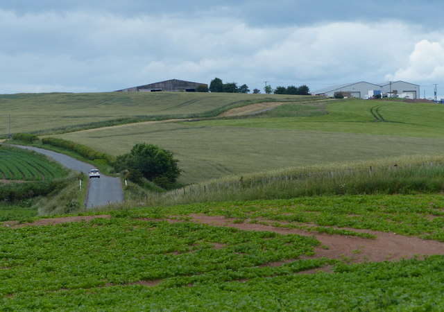
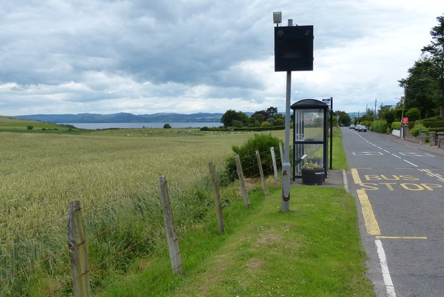
Poachers' Clump is a picturesque woodland located in the county of Fife, Scotland. Situated near the town of Cupar, this charming forest covers an area of approximately 50 acres, providing a peaceful retreat for nature enthusiasts and outdoor adventurers alike.

The woodland is named after the infamous poachers who once roamed these grounds, taking advantage of the dense foliage and secluded nature of the area. However, today, Poachers' Clump is a protected natural reserve, managed by local authorities to preserve its beauty and ecological significance.

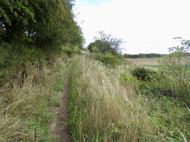
Visitors to Poachers' Clump can expect to discover a diverse range of flora and fauna, with a mixture of broadleaf and coniferous trees creating a rich and vibrant habitat. The forest is predominantly made up of oak, ash, and beech trees, their towering canopies providing shade and shelter for an array of wildlife.

Wandering through the forest, visitors may come across a network of walking trails, allowing them to explore the woodland at their own pace. Along these paths, one might encounter enchanting wildflowers, moss-covered rocks, and perhaps even a glimpse of red squirrels darting through the branches above.

Poachers' Clump offers a haven for birdwatchers, with a variety of species calling this forest home. From the melodic songs of the chaffinches and blackbirds to the occasional sighting of the majestic buzzard soaring overhead, bird enthusiasts will find plenty to captivate their attention.

Whether it's a leisurely stroll, a nature walk, or a peaceful picnic amidst the tranquility of the forest, Poachers' Clump is a hidden gem in Fife that invites visitors to immerse themselves in the beauty of Scotland's natural landscape.

If you have any feedback on the listing, please let us know in the comments section below.

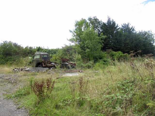
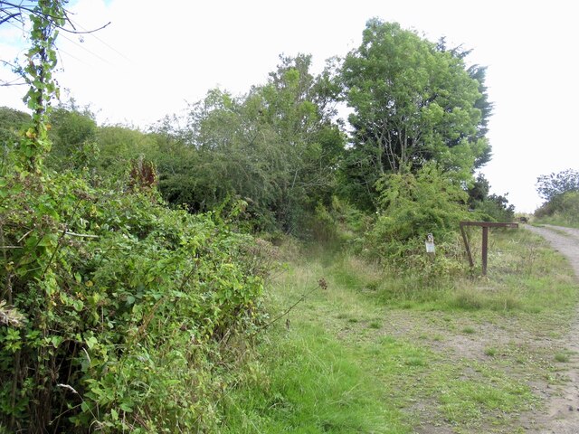
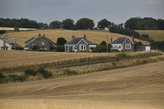
Poachers' Clump Images

Images are sourced within 2km of 56.417228/-2.9471865 or Grid Reference NO4125. Thanks to Geograph Open Source API. All images are credited.

Old lorry above Wormit
Path over Wormit Hill Mapped as a road, it is actually an enjoyable path.
Path over Wormit Hill
Mapped as a road, it is actually an enjoyable path.
Path over Wormit Hill Mapped as a road, it is actually an enjoyable path.
Path over Wormit Hill
Mapped as a road, it is actually an enjoyable path.
Houses on B946
Houses on B946
A pair of villas on Kilmany Road, Wormit By B946, entering Wormit from the south. Built on site of former Beehive Timber Works.
A pair of villas on Kilmany Road, Wormit
By B946, entering Wormit from the south. Built on site of former Beehive Timber Works.
Farm buildings at Peacehill
Kilmany Road at Wormit
Wormit Entering Wormit from the South East. This is a residential village situated on the South bank of the Tay opposite Dundee.
Wormit
Entering Wormit from the South East. This is a residential village situated on the South bank of the Tay opposite Dundee.
Benchmark on Kirk Street/Bridge Street, Newport on Tay Ordnance Survey benchmark, described on database at <span class="nowrap"><a title="https://www.bench-marks.org.uk/bm143012" rel="nofollow ugc noopener" href="https://www.bench-marks.org.uk/bm143012">Link</a><img style="margin-left:2px;" alt="External link" title="External link - shift click to open in new window" src="https://s1.geograph.org.uk/img/external.png" width="10" height="10"/></span>. See also <a href="https://www.geograph.org.uk/photo/6980756">NO4127 : Junction of Bridge Street and Kirk Street, Newport on Tay</a>.
Benchmark on Kirk Street/Bridge Street, Newport on Tay
Ordnance Survey benchmark, described on database at LinkExternal link. See also NO4127 : Junction of Bridge Street and Kirk Street, Newport on Tay.
Junction of Bridge Street and Kirk Street, Newport on Tay There is an Ordnance Survey benchmark on the wall to the right of the bin. See <a href="https://www.geograph.org.uk/photo/6980737">NO4127 : Benchmark on Kirk Street/Bridge Street, Newport on Tay</a>.
Junction of Bridge Street and Kirk Street, Newport on Tay
There is an Ordnance Survey benchmark on the wall to the right of the bin. See NO4127 : Benchmark on Kirk Street/Bridge Street, Newport on Tay.
Benchmark on wall, Wormit Hill, Woodhaven Ordnance Survey benchmark, described on database at <span class="nowrap"><a title="https://www.bench-marks.org.uk/bm143010" rel="nofollow ugc noopener" href="https://www.bench-marks.org.uk/bm143010">Link</a><img style="margin-left:2px;" alt="External link" title="External link - shift click to open in new window" src="https://s1.geograph.org.uk/img/external.png" width="10" height="10"/></span>. See also <a title="https://www.geograph.org.uk/photo/6778566" href="https://www.geograph.org.uk/photo/6778566">Link</a>.
Benchmark on wall, Wormit Hill, Woodhaven
Ordnance Survey benchmark, described on database at LinkExternal link. See also Link.
Benchmark on wall at Flass Ordnance Survey benchmark, described on database at <span class="nowrap"><a title="https://www.bench-marks.org.uk/bm143009" rel="nofollow ugc noopener" href="https://www.bench-marks.org.uk/bm143009">Link</a><img style="margin-left:2px;" alt="External link" title="External link - shift click to open in new window" src="https://s1.geograph.org.uk/img/external.png" width="10" height="10"/></span>. See also <a href="https://www.geograph.org.uk/photo/6778542">NO4125 : Flass Farm</a>.
Benchmark on wall at Flass
Ordnance Survey benchmark, described on database at LinkExternal link. See also NO4125 : Flass Farm.
Path over Wormit Hill From here eastwards it runs around the edge of fields. Westwards it is enclosed.
Path over Wormit Hill
From here eastwards it runs around the edge of fields. Westwards it is enclosed.
Path on Wormit Hill
Path on Wormit Hill
Woodhaven to St Fort road
Path on St Fort Hill
St Fort Hill
St Fort Hill
Probable summit, St Fort Hill
Show me another place!

Poachers' Clump is located at Grid Ref: NO4125 (Lat: 56.417228, Lng: -2.9471865)

Unitary Authority: Fife

Police Authority: Fife

What 3 Words

///outline.choppers.paints. Near Newport-on-Tay, Fife

Related Wikis

St Fort

St Fort (, , or ) is a rural area, largely in Forgan parish, Fife. The current form of the name is late eighteenth century, the origin being a sandy ford...

Forgan (Fife)

Forgan is a civil parish in the Scottish county of Fife. It extends 4 miles in length along the north coast of Fife and is at the southern mouth of the...

St Fort railway station

St. Fort railway station served the civil parish of Forgan, Fife, Scotland from 1878 to 1965 on the Tay Bridge Line and Newburgh and North Fife Railway...

Woodhaven, Fife

Woodhaven used to be a small village between Newport-on-Tay and Wormit in Fife, Scotland. Due to expansion of these two villages over the years, it is...

Nearby Amenities

Located within 500m of 56.417228,-2.9471865
The data included in this document is from www.openstreetmap.org. The data is made available under ODbL.

Have you been to Poachers' Clump?

Leave your review of Poachers' Clump below (or comments, questions and feedback).