Esky Loch

Lake, Pool, Pond, Freshwater Marsh in Fife

Scotland

Esky Loch

Old lorry above Wormit
Old lorry above Wormit Credit: Richard Webb

Esky Loch is a picturesque freshwater loch located in the region of Fife, Scotland. It is situated near the village of Falkland and is known for its natural beauty and tranquil surroundings. The loch spans approximately 7 acres, making it a relatively small body of water.

Surrounded by lush vegetation and rolling hills, Esky Loch serves as a haven for various species of wildlife and plants. The loch is home to a diverse range of bird species, including common waterfowl like ducks and swans, as well as more elusive species such as herons and kingfishers. The surrounding marshy areas provide an ideal habitat for many wetland plants, creating a rich and vibrant ecosystem.

The loch itself offers recreational opportunities for visitors. Fishing is a popular activity, with anglers often seeking out brown trout and perch in the clear waters of Esky Loch. Canoeing and kayaking are also enjoyed on the calm waters, allowing visitors to explore the loch and its surroundings.

Esky Loch is a designated Site of Special Scientific Interest (SSSI) due to its ecological significance. The conservation of this area is crucial for maintaining the biodiversity and preserving the natural heritage of Fife.

Overall, Esky Loch is a serene and picturesque freshwater loch, providing a peaceful retreat for both wildlife and visitors alike. Its natural beauty and diverse ecosystem make it a must-visit destination for nature enthusiasts and those seeking a tranquil escape in the heart of Fife.

If you have any feedback on the listing, please let us know in the comments section below.
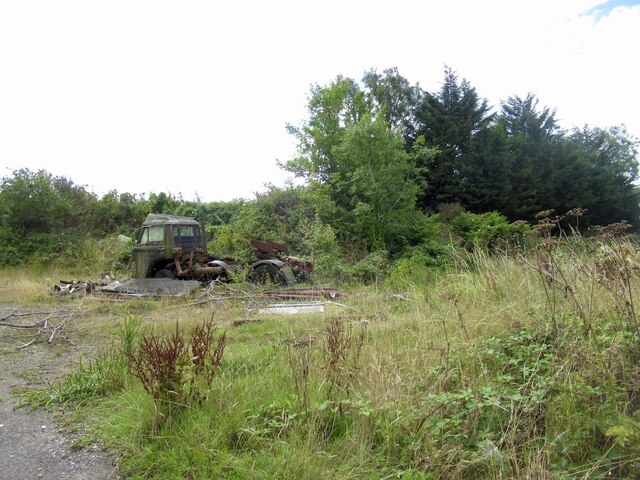
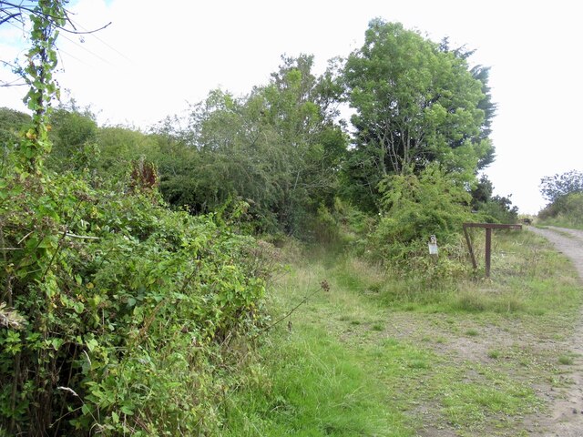
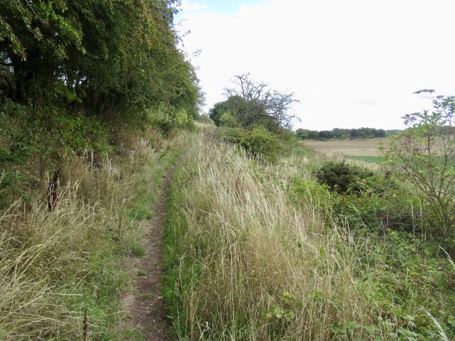
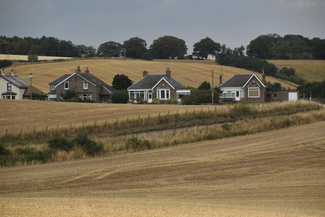
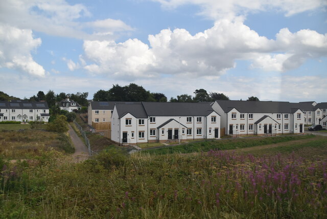
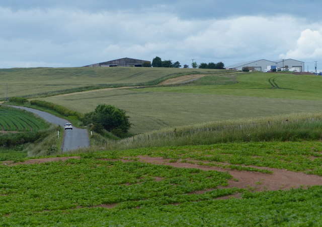
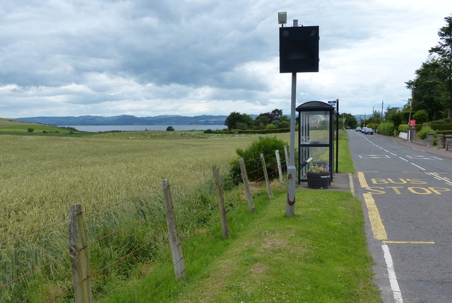
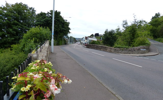
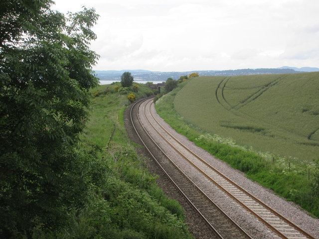
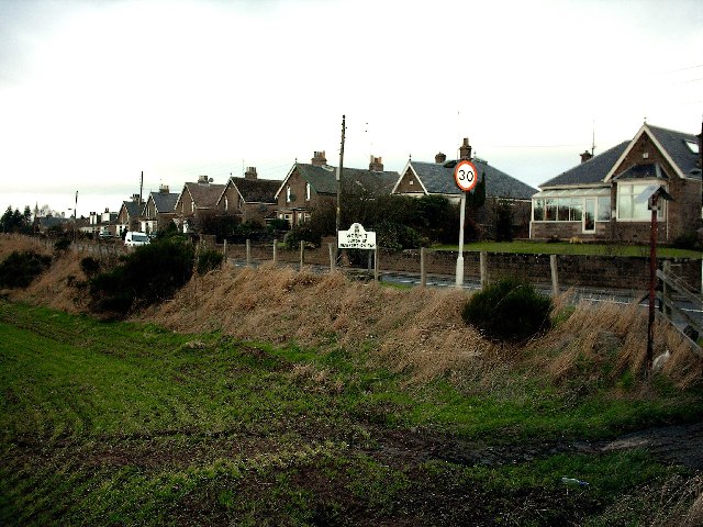
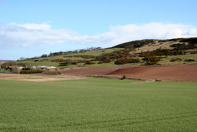
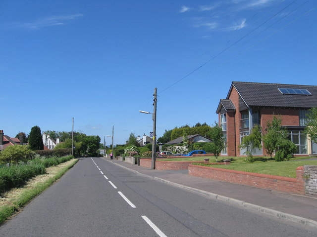
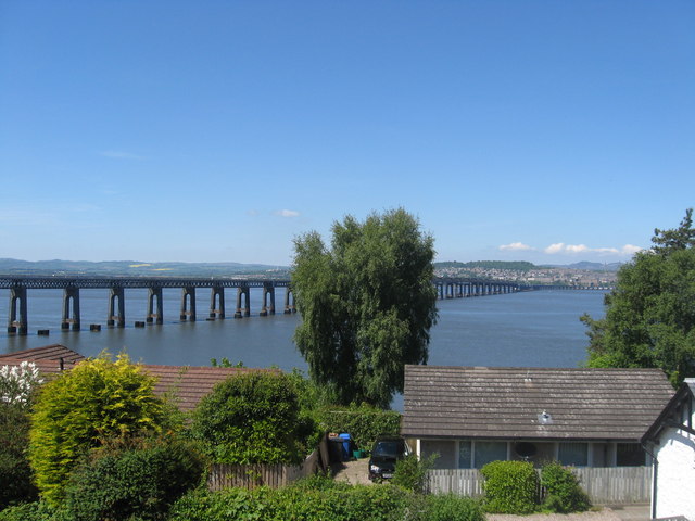
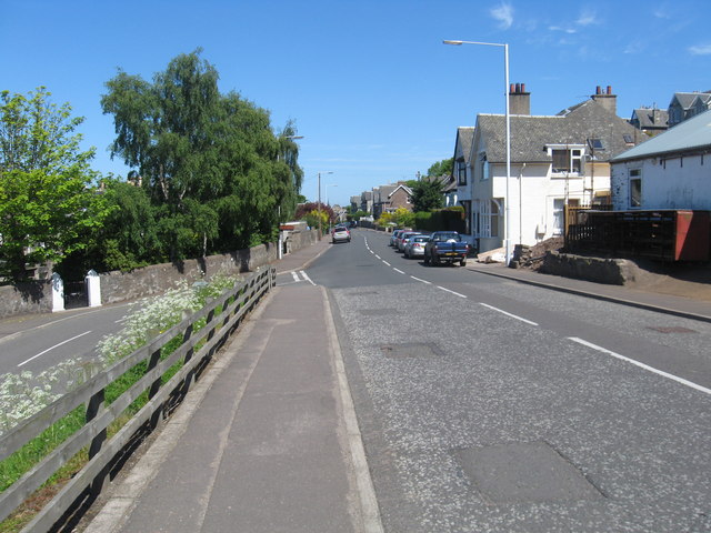
Esky Loch Images

Images are sourced within 2km of 56.415106/-2.9509913 or Grid Reference NO4125. Thanks to Geograph Open Source API. All images are credited.

Old lorry above Wormit
Path over Wormit Hill Mapped as a road, it is actually an enjoyable path.
Path over Wormit Hill
Mapped as a road, it is actually an enjoyable path.
Path over Wormit Hill Mapped as a road, it is actually an enjoyable path.
Path over Wormit Hill
Mapped as a road, it is actually an enjoyable path.
Houses on B946
Houses on B946
New houses, Wormit
New houses, Wormit
A pair of villas on Kilmany Road, Wormit By B946, entering Wormit from the south. Built on site of former Beehive Timber Works.
A pair of villas on Kilmany Road, Wormit
By B946, entering Wormit from the south. Built on site of former Beehive Timber Works.
Farm buildings at Peacehill
Kilmany Road at Wormit
Riverside Road in Wormit
Railway south of Wormit The East Coast Line viewed from the bridge on the Gauldry Road, heading north to the Tay Bridge.
Railway south of Wormit
The East Coast Line viewed from the bridge on the Gauldry Road, heading north to the Tay Bridge.
Wormit From the Tay Rail Bridge.
Wormit
From the Tay Rail Bridge.
Wormit Entering Wormit from the South East. This is a residential village situated on the South bank of the Tay opposite Dundee.
Wormit
Entering Wormit from the South East. This is a residential village situated on the South bank of the Tay opposite Dundee.
Newton Hill The view looks south east towards Newton farm from the minor road in the north west corner of the box.
Newton Hill
The view looks south east towards Newton farm from the minor road in the north west corner of the box.
Road heading in to Wormit in Fife Passing some truly unique houses on the way.
Road heading in to Wormit in Fife
Passing some truly unique houses on the way.
Looking over the houses, overlooking the Firth of Tay The old railway bridge, seen from Wormit, takes pride of place in this scene. The original railway bridge over the Tay was opened in 1877 but collapsed in to the sea in 1878 taking a train with it - all seventy five passengers perished in icy waters of the firth. Scotland's worst rail disaster. The present bridge opened in 1877 to superior design and construction and has survived the elements with ease. The foundations of the original bridge can be seen between the 'arches'.
Looking over the houses, overlooking the Firth of Tay
The old railway bridge, seen from Wormit, takes pride of place in this scene. The original railway bridge over the Tay was opened in 1877 but collapsed in to the sea in 1878 taking a train with it - all seventy five passengers perished in icy waters of the firth. Scotland's worst rail disaster. The present bridge opened in 1877 to superior design and construction and has survived the elements with ease. The foundations of the original bridge can be seen between the 'arches'.
Wormit in Fife West end of the village.
Wormit in Fife
West end of the village.
Benchmark on wall, Wormit Hill, Woodhaven Ordnance Survey benchmark, described on database at <span class="nowrap"><a title="https://www.bench-marks.org.uk/bm143010" rel="nofollow ugc noopener" href="https://www.bench-marks.org.uk/bm143010">Link</a><img style="margin-left:2px;" alt="External link" title="External link - shift click to open in new window" src="https://s1.geograph.org.uk/img/external.png" width="10" height="10"/></span>. See also <a title="https://www.geograph.org.uk/photo/6778566" href="https://www.geograph.org.uk/photo/6778566">Link</a>.
Benchmark on wall, Wormit Hill, Woodhaven
Ordnance Survey benchmark, described on database at LinkExternal link. See also Link.
Benchmark on wall at Flass Ordnance Survey benchmark, described on database at <span class="nowrap"><a title="https://www.bench-marks.org.uk/bm143009" rel="nofollow ugc noopener" href="https://www.bench-marks.org.uk/bm143009">Link</a><img style="margin-left:2px;" alt="External link" title="External link - shift click to open in new window" src="https://s1.geograph.org.uk/img/external.png" width="10" height="10"/></span>. See also <a href="https://www.geograph.org.uk/photo/6778542">NO4125 : Flass Farm</a>.
Benchmark on wall at Flass
Ordnance Survey benchmark, described on database at LinkExternal link. See also NO4125 : Flass Farm.
Show me another place!

Esky Loch is located at Grid Ref: NO4125 (Lat: 56.415106, Lng: -2.9509913)

Unitary Authority: Fife

Police Authority: Fife

What 3 Words

///grabs.feared.refusals. Near Newport-on-Tay, Fife

Related Wikis

St Fort

St Fort (, , or ) is a rural area, largely in Forgan parish, Fife. The current form of the name is late eighteenth century, the origin being a sandy ford...

St Fort railway station

St. Fort railway station served the civil parish of Forgan, Fife, Scotland from 1878 to 1965 on the Tay Bridge Line and Newburgh and North Fife Railway...

Forgan (Fife)

Forgan is a civil parish in the Scottish county of Fife. It extends 4 miles in length along the north coast of Fife and is at the southern mouth of the...

Woodhaven, Fife

Woodhaven used to be a small village between Newport-on-Tay and Wormit in Fife, Scotland. Due to expansion of these two villages over the years, it is...

Wormit

Wormit is a village on the south shore of the Firth of Tay in north-east Fife, Scotland. Its location at the southern end of the Tay Rail Bridge has led...

Newport-on-Tay West railway station

Newport-on-Tay West railway station served the town of Newport-on-Tay, Fife, Scotland, from 1879 to 1969 on the Newport Railway. == History == The station...

Wormit railway station

Wormit railway station served the town of Wormit, Fife, Scotland from 1889 to 1969 on the Newport Railway. == History == The station opened on 1 May 1889...

Pickletillum

Pickletillem or Pickletillum is a hamlet situated in Fife, Scotland. It is 9 miles (14 km) from the town of St. Andrews and 5.9 miles (9.5 km) from the...

Nearby Amenities

Located within 500m of 56.415106,-2.9509913
The data included in this document is from www.openstreetmap.org. The data is made available under ODbL.

Have you been to Esky Loch?

Leave your review of Esky Loch below (or comments, questions and feedback).