Stiel Pool

Lake, Pool, Pond, Freshwater Marsh in Selkirkshire

Scotland

Stiel Pool

Lodge, Ashiestiel House The lodge at the entrance to Ashiestiel House. Sir Walter Scott lived in the big house between 1804 and 1812 until he acquired Abbotsford.
Lodge, Ashiestiel House Credit: Jim Barton

Stiel Pool is a small freshwater body located in Selkirkshire, Scotland. Nestled amidst the picturesque landscape of the Scottish Borders, this pool serves as a serene oasis for both locals and visitors alike.

Spanning an area of approximately 2 acres, Stiel Pool is surrounded by lush greenery and offers a peaceful retreat for nature enthusiasts. The pool itself has a calm and tranquil appearance, with its crystal-clear waters reflecting the beauty of the surrounding scenery.

The pool is fed by a small stream that originates from the nearby hills, ensuring a constant flow of freshwater. This natural water source contributes to the pool's cleanliness and supports a diverse range of aquatic life.

Surrounding the pool, there is a vibrant freshwater marsh ecosystem, characterized by an array of plant and animal species. The marshland is home to various types of water-loving plants such as reeds, cattails, and water lilies. These plants provide shelter and breeding grounds for numerous bird species, including ducks, herons, and swans, making Stiel Pool a popular spot for birdwatchers.

Visitors to Stiel Pool can enjoy a leisurely stroll along the designated walking trails, which provide excellent vantage points to observe the pool's wildlife. Fishing is also a popular activity at Stiel Pool, with anglers trying their luck at catching brown trout, which thrive in the pool's cool waters.

Overall, Stiel Pool offers a captivating blend of natural beauty, tranquility, and biodiversity. Whether it's for a relaxing walk, birdwatching, or fishing, this little gem in Selkirkshire is a must-visit destination for nature lovers seeking solace in the Scottish countryside.

If you have any feedback on the listing, please let us know in the comments section below.
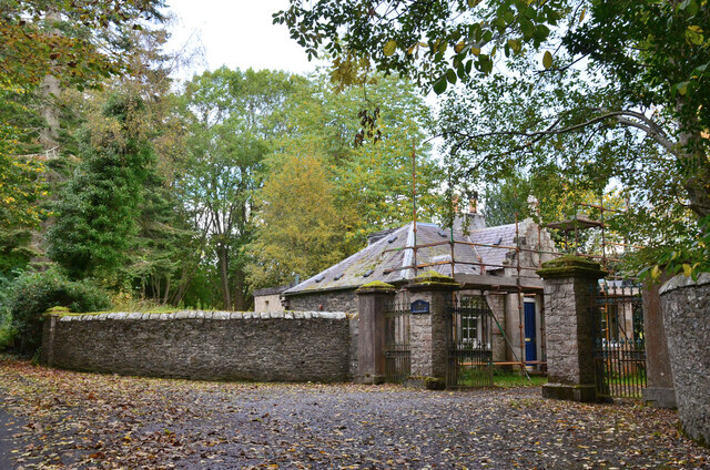
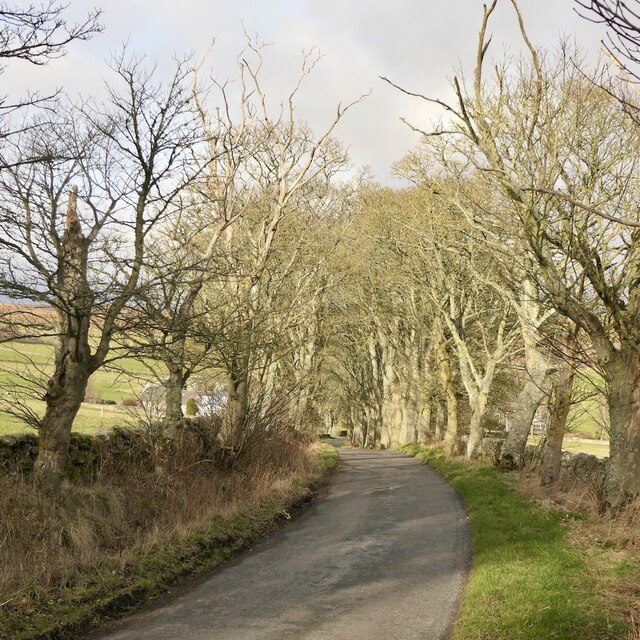
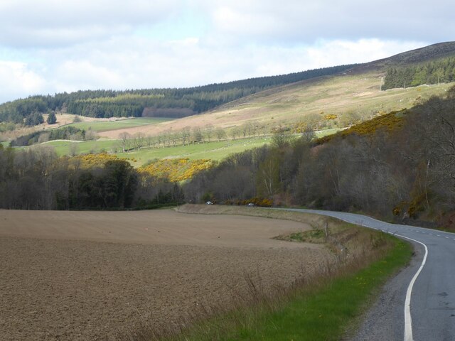
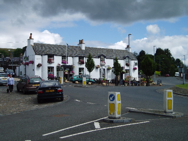
Stiel Pool Images

Images are sourced within 2km of 55.615272/-2.9317237 or Grid Reference NT4136. Thanks to Geograph Open Source API. All images are credited.

Lodge, Ashiestiel House The lodge at the entrance to Ashiestiel House. Sir Walter Scott lived in the big house between 1804 and 1812 until he acquired Abbotsford.
Lodge, Ashiestiel House
The lodge at the entrance to Ashiestiel House. Sir Walter Scott lived in the big house between 1804 and 1812 until he acquired Abbotsford.
Minor road near Ashiestiel The back road on the south side of the Tweed between Walkerburn and Peel.
Minor road near Ashiestiel
The back road on the south side of the Tweed between Walkerburn and Peel.
Road, Laidlawstiel
Road, Laidlawstiel
Clearance cairn, Laidlawstiel A rather tidy pile of stones, built into a dyke.
Clearance cairn, Laidlawstiel
A rather tidy pile of stones, built into a dyke.
Summit, Laidlawstiel Hill There is an irregular ruined dyke here, believed to be a sheep shelter.
Summit, Laidlawstiel Hill
There is an irregular ruined dyke here, believed to be a sheep shelter.
Ruined dyke on the summit of Laidlawstiel Hill An irregular wall which is not an enclosure. Believed to be a sheep shelter, but why at the top of the hill? Sheep go downhill in bad weather.
Ruined dyke on the summit of Laidlawstiel Hill
An irregular wall which is not an enclosure. Believed to be a sheep shelter, but why at the top of the hill? Sheep go downhill in bad weather.
Laidlawstiel Hill View towards Laidlawstiel House and the Moorfoot Hills.
Laidlawstiel Hill
View towards Laidlawstiel House and the Moorfoot Hills.
Tweeddale, Thornielee View from Laidlawshiel Hill towards Elibank Law across the Tweed.
Tweeddale, Thornielee
View from Laidlawshiel Hill towards Elibank Law across the Tweed.
Corner of the moorland on Laidlawstiel Hill A broken down dyke gives easy access to the rough pasture and heather of the summit from the road below.
Corner of the moorland on Laidlawstiel Hill
A broken down dyke gives easy access to the rough pasture and heather of the summit from the road below.
A72, Thornielee Running beside the Tweed between Peebles and Galashiels.
A72, Thornielee
Running beside the Tweed between Peebles and Galashiels.
Clearance cairn, Laidlawstiel Tups beside a less tidy pile of stones than this one: <a href="https://www.geograph.org.uk/photo/7086885">NT4237 : Clearance cairn, Laidlawstiel</a>
Clearance cairn, Laidlawstiel
Tups beside a less tidy pile of stones than this one: NT4237 : Clearance cairn, Laidlawstiel
A larch stump The larch tree by a field entrance was likely felled as the result of storm damage.
A larch stump
The larch tree by a field entrance was likely felled as the result of storm damage.
Inquisitive bullocks The bullocks were checking me out in a large field on the north side of Ashiestiel Hill.
Inquisitive bullocks
The bullocks were checking me out in a large field on the north side of Ashiestiel Hill.
A72 in the Tweed Valley
Fishing hut On Rampy Heugh, across the River Tweed.
Fishing hut
On Rampy Heugh, across the River Tweed.
River Tweed Near Ashiestiel Farm.
Viewed from the A72.
River Tweed
Near Ashiestiel Farm. Viewed from the A72.
A72 above the River Tweed flood plain Laidlawstiel Hill in the sunlight.
A72 above the River Tweed flood plain
Laidlawstiel Hill in the sunlight.
Lay-by on the A72 near Thornielee
Show me another place!

Stiel Pool is located at Grid Ref: NT4136 (Lat: 55.615272, Lng: -2.9317237)

Unitary Authority: The Scottish Borders

Police Authority: The Lothians and Scottish Borders

What 3 Words

///allowable.texts.jazz. Near Galashiels, Scottish Borders

Related Wikis

Thornielee railway station

Thornielee railway station served the smallholding of Thornielee, Scottish Borders, Scotland from 1866 to 1950 on the Peebles Railway. == History == The...

Ashiestiel

Ashiestiel is a village in the Scottish Borders area of Scotland, in the Parish of Caddonfoot, on the south side of the River Tweed, 4m (6.5 km) east of...

Angling Club Cottage Platform railway station

Angling Club Cottage Platform served the Edinburgh Angling Club in Selkirk, Scottish Borders, Scotland from 1898 to the late 1940s. == History == The station...

Peel Hospital

Peel Hospital was a health facility at Caddonfoot in the Scottish Borders, Scotland. It is a Category A Listed Building. == History == Peel House was designed...

Caddonlee

Caddonlee is a farm in the village of Clovenfords in the Scottish Borders area of Scotland, by the Caddon Water, near Caddonfoot where Caddon Water meets...

Clovenfords

Clovenfords is a village in the Scottish Borders area of Scotland, 1 mile (2 kilometres) north of the hamlet of Caddonfoot and 4 miles (6 kilometres) west...

Caddon Water

The Caddon Water (Scottish Gaelic: Cadan) is a small river by the village of Caddonfoot, in the Scottish Borders area of Scotland. It rises on Windlestraw...

Caddonfoot

Caddonfoot (Scottish Gaelic: Bun Chadain) is a village on the River Tweed, in the Scottish Borders area of Scotland, on the A707, near Galashiels. The...

Nearby Amenities

Located within 500m of 55.615272,-2.9317237
Thornylee
Place: locality
Lat/Long: 55.6168859/-2.9342296
Bus Stop
Thornielee Road End
Bus: yes
Naptan AtcoCode: 69001235
Naptan Bearing: E
Naptan CommonName: Thornielee Rd End
Naptan Indicator: at
Naptan NaptanCode: 72725745
Naptan Street: A72
Operator: Scottish Borders Council
Public Transport: platform
Ref: 69001235
Source: NaPTAN
Lat/Long: 55.6166987/-2.9336843
Bus Stop
Thornielee Road End
Bus: yes
Naptan AtcoCode: 69001236
Naptan Bearing: W
Naptan CommonName: Thornielee Rd End
Naptan Indicator: opp
Naptan NaptanCode: 72725742
Naptan Street: A72
Operator: Scottish Borders Council
Public Transport: platform
Ref: 69001236
Source: NaPTAN
Lat/Long: 55.6165205/-2.9342537
Material: wood
Power: pole
Lat/Long: 55.6167334/-2.9320132
Power: pole
Lat/Long: 55.6170598/-2.9302906
Power: pole
Lat/Long: 55.6164411/-2.9333858
Power: pole
Lat/Long: 55.6157861/-2.9350283
Power: pole
Lat/Long: 55.6152353/-2.9385678
Power: pole
Lat/Long: 55.6154163/-2.9373783
Power: pole
Lat/Long: 55.6156011/-2.9362142
Power: pole
Lat/Long: 55.618991/-2.9274917
Power: pole
Lat/Long: 55.6183185/-2.9276419
Generator Method: photovoltaic
Generator Output Electricity: yes
Generator Source: solar
Generator Type: solar_photovoltaic_panel
Power: generator
Lat/Long: 55.6173204/-2.9335977
Power: pole
Lat/Long: 55.6175089/-2.9254478
Power: pole
Lat/Long: 55.6173696/-2.9287724
Power: pole
Lat/Long: 55.6174582/-2.9278685
Power: pole
Lat/Long: 55.617565/-2.9267165
Give Way
Direction: forward
Lat/Long: 55.6166631/-2.9338697
The data included in this document is from www.openstreetmap.org. The data is made available under ODbL.

Have you been to Stiel Pool?

Leave your review of Stiel Pool below (or comments, questions and feedback).